The best running trails around Le Larderet
4.5
(31)
1,202
runners
104
runs
Jogging routes around Le Larderet offer a diverse landscape for runners, characterized by rolling hills, forested areas, and open countryside. The region features a mix of moderate ascents and flatter sections, providing varied terrain for different fitness levels. Many routes are circular jogging trails, making them convenient for exploration.
Best jogging routes around Le Larderet
- The most popular jogging route is Champagnole – Pont de l'Épée loop from Vannoz, a 6.4 miles (10.3 km) trail that takes 1 hour 5 minutes to complete. This route features gentle climbs and scenic views along the river.
- Another top favourite among local runners is Mare aux Demoiselles – Belvédère de la Frête Arbey loop from Esserval-Tartre, a moderate 6.3 miles (10.2 km) path. This route offers a mix of woodland paths and open sections with a viewpoint.
- Local runners also love the Running loop from Le Pasquier, a 3.5 miles (5.6 km) trail leading through local countryside, often completed in about 37 minutes.
- Jogging around Le Larderet is defined by varied elevation, local woodlands, and open fields, with options available for beginners and more experienced runners. The network includes easy jogging routes Le Larderet for those new to the sport.
- The routes in Le Larderet are highly rated by the komoot community with an average score of 4.2 stars from over 28 reviews. More than 1000 runners have used komoot to explore Le Larderet's varied terrain.
Last updated: July 6, 2026
7
runners
10.3km
01:06
110m
110m
Moderate run. Good fitness required. Mostly paved surfaces. Suitable for all skill levels.
7
runners
14.3km
01:46
420m
420m
Hard run. Very good fitness required. Mostly paved surfaces. Suitable for all skill levels.

Sign up for free
5
runners
6.42km
00:44
60m
60m
Moderate run. Good fitness required. Mostly paved surfaces. Suitable for all skill levels.
3
runners
5.62km
00:37
40m
40m
Moderate run. Good fitness required. Mostly paved surfaces. Suitable for all skill levels.
4
runners
Moderate run. Good fitness required. Mostly paved surfaces. Suitable for all skill levels.
Get access to more routes and recommendations from other explorers.
Sign up for free
Already have an account?
Our route recommendations are based on thousands of hikes, rides, and runs completed by other people on komoot.
Start today with a free account
Your next adventure awaits.
Login or Signup
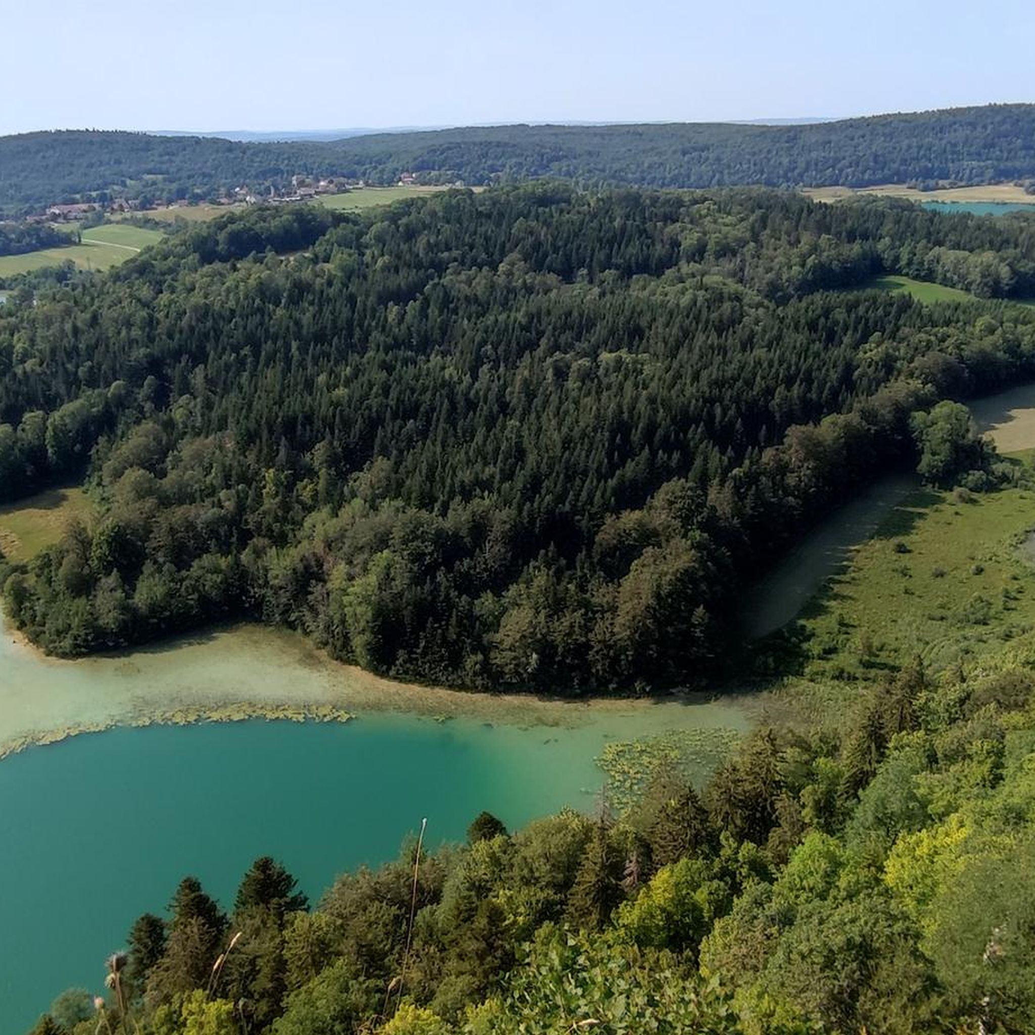
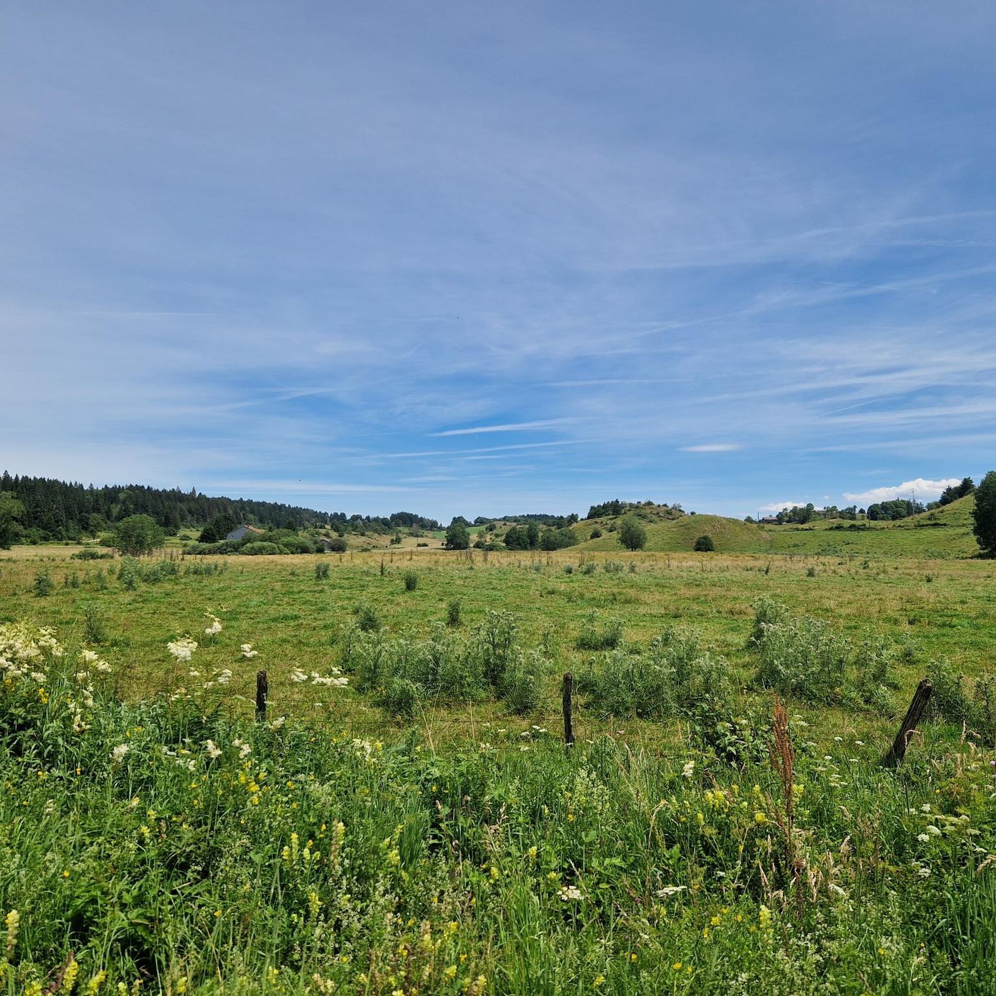
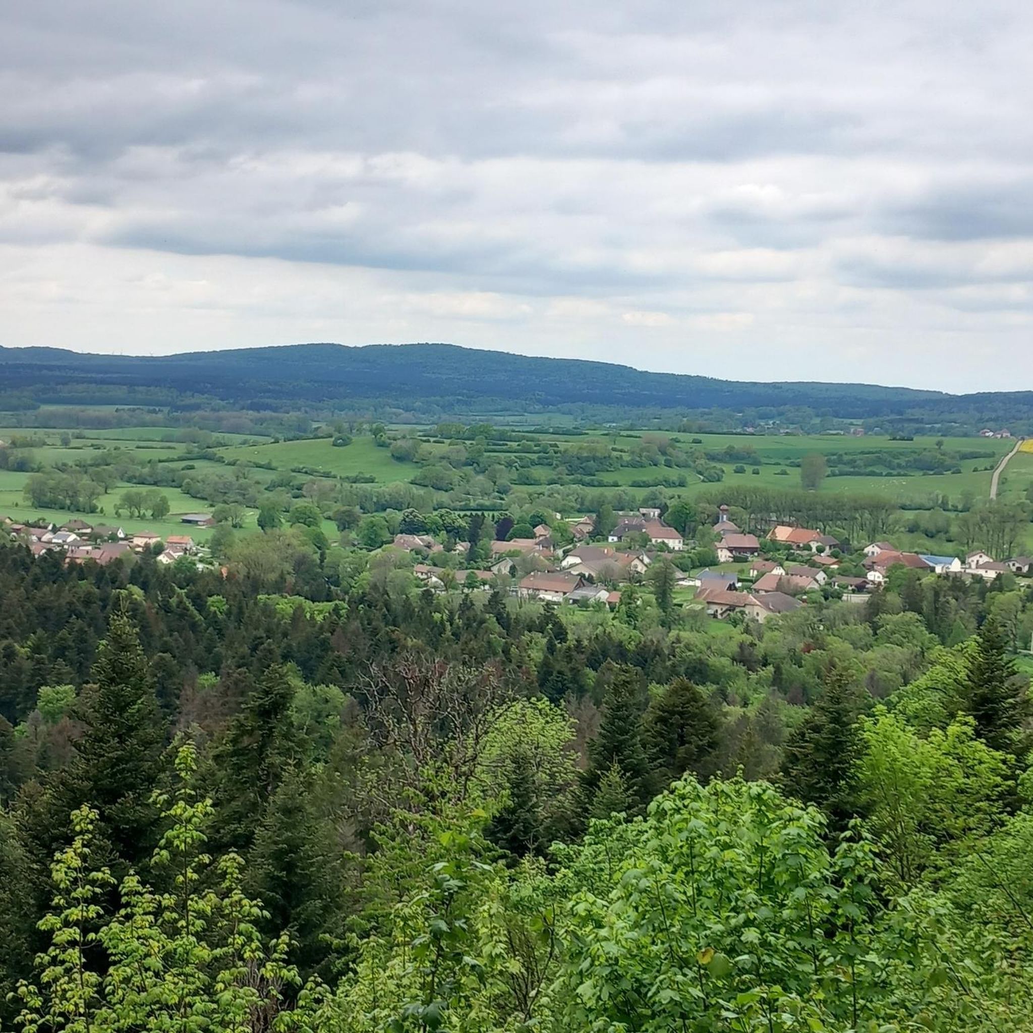
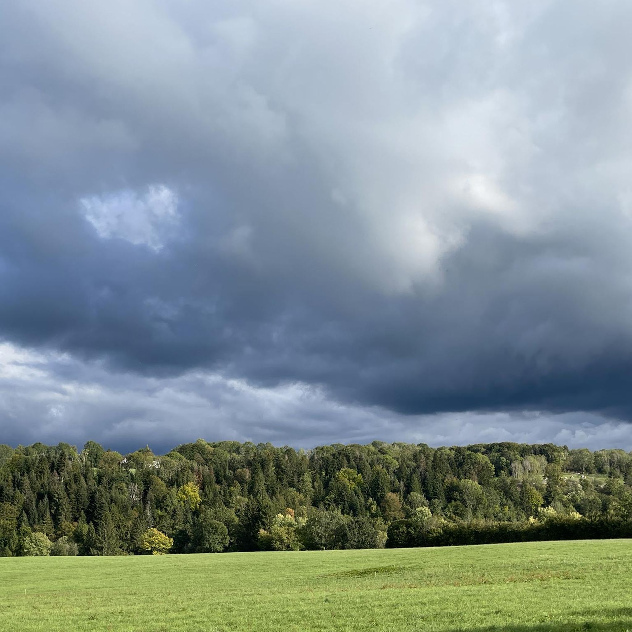

Tips from the Community

Magnificent view of Champagnole and bench.
0
0

Located at the gates of the Haut-Jura regional natural park, Champagnole is also considered the “pearl of the Jura”. Perched at an altitude of 540 meters on the banks of the Ain, the town is located in a wonderful natural setting. There is also an archaeological museum due to the discovery of remains on Mont Rivel.
1
0
Frequently Asked Questions
How many running routes are available around Le Larderet?
There are over 100 running routes recorded around Le Larderet on komoot, offering a wide variety of options for all fitness levels. These include 7 easy routes, 71 moderate routes, and 26 difficult routes.
Are there easy running paths suitable for beginners in Le Larderet?
Yes, Le Larderet offers several easy jogging routes perfect for beginners. These paths typically feature gentler terrain and shorter distances. For example, the Running loop from Le Pasquier is a moderate 3.5-mile (5.6 km) trail that can be completed in about 37 minutes, offering a good starting point.
Can I find circular running trails in the Le Larderet area?
Many of the running routes around Le Larderet are circular, making them convenient for starting and ending at the same point. The region's diverse landscape is well-suited for loop trails, allowing you to explore different sections without retracing your steps.
What kind of scenery can I expect on the jogging routes near Le Larderet?
The running routes around Le Larderet are characterized by rolling hills, dense forested areas, and expansive open countryside. You'll encounter a mix of moderate ascents and flatter sections, with some routes offering scenic views along rivers or from viewpoints. For example, the Mare aux Demoiselles – Belvédère de la Frête Arbey loop from Esserval-Tartre includes woodland paths and open sections with a notable viewpoint.
Are there any running routes with waterfalls or natural attractions nearby?
Yes, the region around Le Larderet features several natural attractions that can be incorporated into or visited near your running routes. You can find beautiful waterfalls like the Moulin du Saut Waterfall and the Maillys Falls, as well as river features such as the Pertes de l'Ain and the Ain Spring.
What do other runners say about the trails in Le Larderet?
The running trails in Le Larderet are highly rated by the komoot community, with an average score of 4.2 stars from over 28 reviews. Runners often praise the varied terrain, the peaceful woodlands, and the well-maintained paths that offer a good mix of challenge and scenic beauty.
Are there any longer, more challenging running routes for experienced runners?
Yes, for experienced runners seeking a challenge, Le Larderet offers more difficult routes. The Roches de Nans – Grotte de la Doye loop from Onglières is a difficult 8.9-mile (14.3 km) route with significant elevation gain, providing a demanding and rewarding experience.
Can I find running routes that pass through or near interesting villages or towns?
Some routes offer glimpses of local life or pass near charming settlements. For instance, the historic village of Nozeroy is a notable highlight in the wider area, offering a cultural point of interest that could be combined with a run.
What is the typical length of running routes in Le Larderet?
The running routes in Le Larderet vary significantly in length. You can find shorter paths like the Running loop from Plénise, which is about 4 miles (6.5 km), up to longer, more challenging routes exceeding 8 miles (13 km).
Are there running routes that offer river views?
Yes, several running routes in the Le Larderet area feature scenic river views. The Champagnole – Pont de l'Épée loop from Vannoz is a popular choice that includes gentle climbs and beautiful vistas along the river.
Is Le Larderet suitable for trail running?
Absolutely. Le Larderet's varied terrain, including woodlands, open fields, and rolling hills, makes it an excellent destination for trail running. The mix of surfaces and elevations provides a dynamic and engaging experience for trail enthusiasts.
Most popular routes around Le Larderet
Most popular attractions around Le Larderet

Get inspired with the komoot mobile app


Explore more
Browse the best Running Trails & Routes in other regions.
