The best MTB trails around Saint-Algis
3.6
(28)
165
riders
20
rides
Mountain bike trails around Saint-Algis are set within a predominantly agricultural landscape, featuring vast prairies and arable lands. The region is characterized by gentle undulations, with elevations ranging from 112 to 191 meters, rather than steep mountainous terrain. The area is also drained by the Oise River and several smaller streams, adding to the natural scenery. A significant network of trails, including the "Axe Vert de la Thiérache," utilizes an old railway line, providing routes with relatively gentle gradients.
Best…
Last updated: June 29, 2026
3.0
(6)
39
riders
44.8km
03:05
270m
270m
Hard mountain bike ride. Good fitness required. Advanced riding skills necessary. Some portions of the route may require you to push your bike.
4.0
(1)
20
riders
72.6km
04:32
480m
480m
Hard mountain bike ride. Good fitness required. Advanced riding skills necessary. Some portions of the route may require you to push your bike.

Sign up for free
3.0
(3)
15
riders
35.9km
02:32
340m
340m
Hard mountain bike ride. Good fitness required. Advanced riding skills necessary. Some portions of the route may require you to push your bike.
4.4
(5)
14
riders
46.3km
02:31
210m
210m
Moderate mountain bike ride. Good fitness required. Suitable for all skill levels.
4.1
(7)
11
riders
38.3km
02:03
210m
210m
Moderate mountain bike ride. Good fitness required. Suitable for all skill levels.
Get access to more routes and recommendations from other explorers.
Sign up for free
Already have an account?
Our route recommendations are based on thousands of hikes, rides, and runs completed by other people on komoot.
Start today with a free account
Your next adventure awaits.
Login or Signup
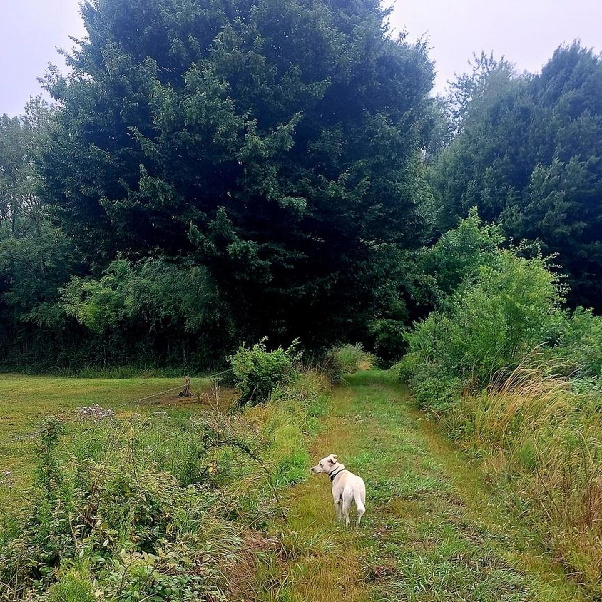

Tips from the Community


Imagined in the 19th century by the industrialist Jean-Baptiste André Godin, the Familistère de Guise is a unique place in France. Conceived as a true “social palace” for the workers of his factory, this architectural complex combines housing, collective spaces, and cultural facilities. Today transformed into a museum and visitor site, the place offers an immersion into the social and industrial history of the Hauts-de-France region.
0
0


The Ohis railway viaduct was built around 1885, then destroyed during the First World War and rebuilt just after. 27 meters high and 187 meters long, it has 13 arches. The Busigny-Hirson line, which was completely closed in 1978, used to run through it.
0
0

The Guise Familistère, located in the commune of Guise, wanted by the industrialist Godin for the accommodation of his workers.
0
0

A very well-executed optical illusion in which the real world and the painted world merge into one.
1
0

Frequently Asked Questions
How many mountain bike trails are available around Saint-Algis?
There are 19 mountain bike trails available around Saint-Algis. These routes cater to various skill levels, with 1 easy, 7 moderate, and 11 difficult options.
What kind of terrain can I expect on mountain bike trails near Saint-Algis?
The terrain around Saint-Algis is characterized by a predominantly agricultural landscape, featuring vast prairies and arable lands. You'll find gentle undulations rather than steep mountainous climbs, with elevations ranging from 112 to 191 meters. Many trails utilize the "Axe Vert de la Thiérache," an old railway line, providing relatively gentle gradients and scenic paths.
Are there mountain bike trails suitable for beginners or families in Saint-Algis?
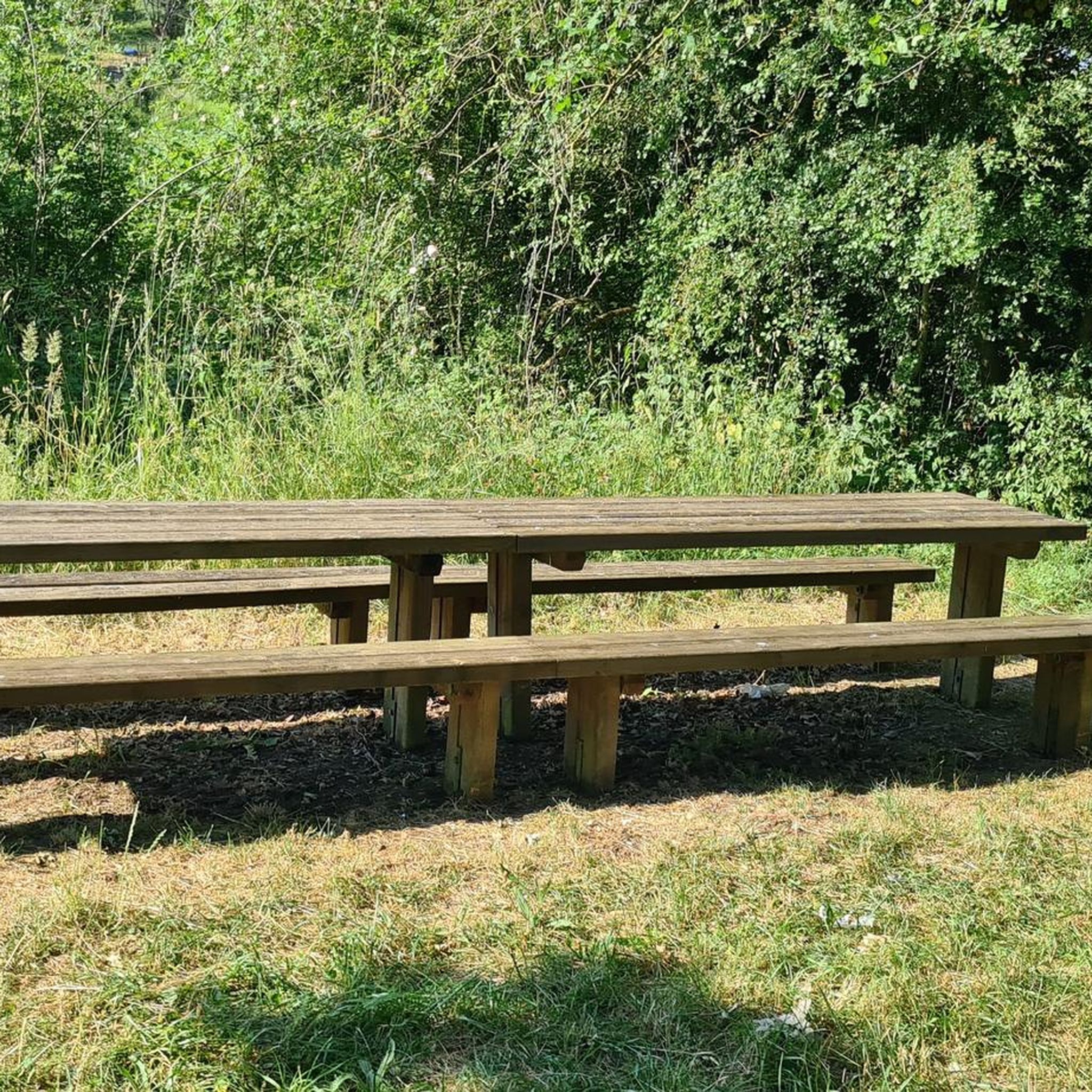
Yes, there are trails suitable for beginners and families. The region offers routes with relatively gentle gradients, especially those utilizing the former railway lines. For instance, there is 1 easy trail available, and several moderate options like the Ohis Railway Viaduct – Old railroad loop from Marly-Gomont or the Picnic Table – Axe Vert de la Thiérache loop from Erloy, which are good choices for those seeking less demanding rides.
What natural features or landmarks can I see while mountain biking near Saint-Algis?
Many trails incorporate natural features and landmarks. You can explore sections of the Axe Vert de la Thiérache, which is developed on an old railway line. The area is also drained by the Oise River, and you might encounter spots like the Oise Riverside Picnic and Swimming Spot near Autreppes. The landscape is rich with open prairies and arable lands, offering expansive views.
Are there any historical sites or points of interest accessible from the mountain bike trails?
Yes, the region has historical points of interest. Many routes follow the path of the Old railroad, offering a glimpse into the area's past. You might also pass by the Lavoir de Malzy or the Old Marly-sur-Oise Station. Additionally, the nearby Castle of Guise is a notable historical attraction in the wider region.
What do other mountain bikers appreciate about the trails in Saint-Algis?
The mountain bike trails around Saint-Algis are highly rated by the komoot community, with an average score of 4.1 stars from over 20 reviews. Riders often praise the varied terrain, the use of the "Axe Vert de la Thiérache" for enjoyable rides, and the scenic agricultural landscapes with open prairies.
Are the mountain bike trails around Saint-Algis dog-friendly?
While many outdoor areas in France are generally dog-friendly, it's always best to keep dogs on a leash, especially in agricultural areas or near livestock. Specific regulations for mountain bike trails are not provided, but responsible pet ownership, including picking up after your dog, is always encouraged.
What is the best time of year for mountain biking in Saint-Algis?
The best time for mountain biking in Saint-Algis is typically during the spring, summer, and early autumn months. The region experiences a temperate climate, making these seasons ideal for enjoying the trails. Winters can be colder and potentially wetter, which might affect trail conditions.
Are there any circular mountain bike routes in the Saint-Algis area?
Yes, many of the mountain bike routes in the Saint-Algis area are designed as loops. Examples include the popular Joli chemin – Old railroad loop from Étréaupont, the Old railroad – Familistère de Guise loop from Étréaupont, and the Saint-Hilaire Church loop from Étréaupont.
Is there parking available at the trailheads for mountain bikers?
While specific parking locations for every trailhead are not detailed, many routes, especially those starting from villages like Étréaupont, Marly-Gomont, or Erloy, typically have public parking options available within the commune. It is advisable to check local signage upon arrival.
How long do mountain bike rides typically take in Saint-Algis?
Ride durations vary significantly depending on the trail's length and difficulty, as well as your fitness level. Easy rides can take up to two hours, while more demanding journeys, such as the Old railroad – Familistère de Guise loop from Étréaupont (72.8 km), can exceed five hours and require very good fitness.
Most popular attractions around Saint-Algis

Get inspired with the komoot mobile app


Explore more
Browse the best MTB trails in other regions.
