The best walks and hikes around Proisy
4.3
(60)
295
hikers
57
hikes
Hiking around Proisy offers exploration through a tranquil, rural landscape characterized by farms, pastures, and natural beauty. The region features an average altitude of approximately 110 meters, providing gentle terrain for outdoor activities. Converted greenways, such as the Ax Vert de la Thiérarche, offer accessible paths along the Oise River. While Proisy itself is small, the surrounding area includes larger natural spaces like the Forest of Mormal, providing extensive forest trails.
Best hiking trails around Proisy
- The most popular hiking…
Last updated: October 18, 2026
5.0
(3)
13
hikers
10.5km
02:45
90m
90m
Moderate hike. Good fitness required. Easily walkable paths.
4.0
(2)
9
hikers
5.39km
01:24
40m
40m
Easy hike. Easily walkable paths.

4.0
(2)
9
hikers
5.83km
01:32
50m
50m
Easy hike. Easily walkable paths.
3.5
(2)
10
hikers
8.17km
02:08
60m
60m
Moderate hike. Good fitness required. Easily walkable paths.
5.0
(1)
7
hikers
9.28km
02:30
120m
120m
Moderate hike. Good fitness required. Easily walkable paths.
Get access to more routes and recommendations from other explorers.
Already have an account?
Our route recommendations are based on thousands of hikes, rides, and runs completed by other people on komoot.
Start today with a free account
Your next adventure awaits.

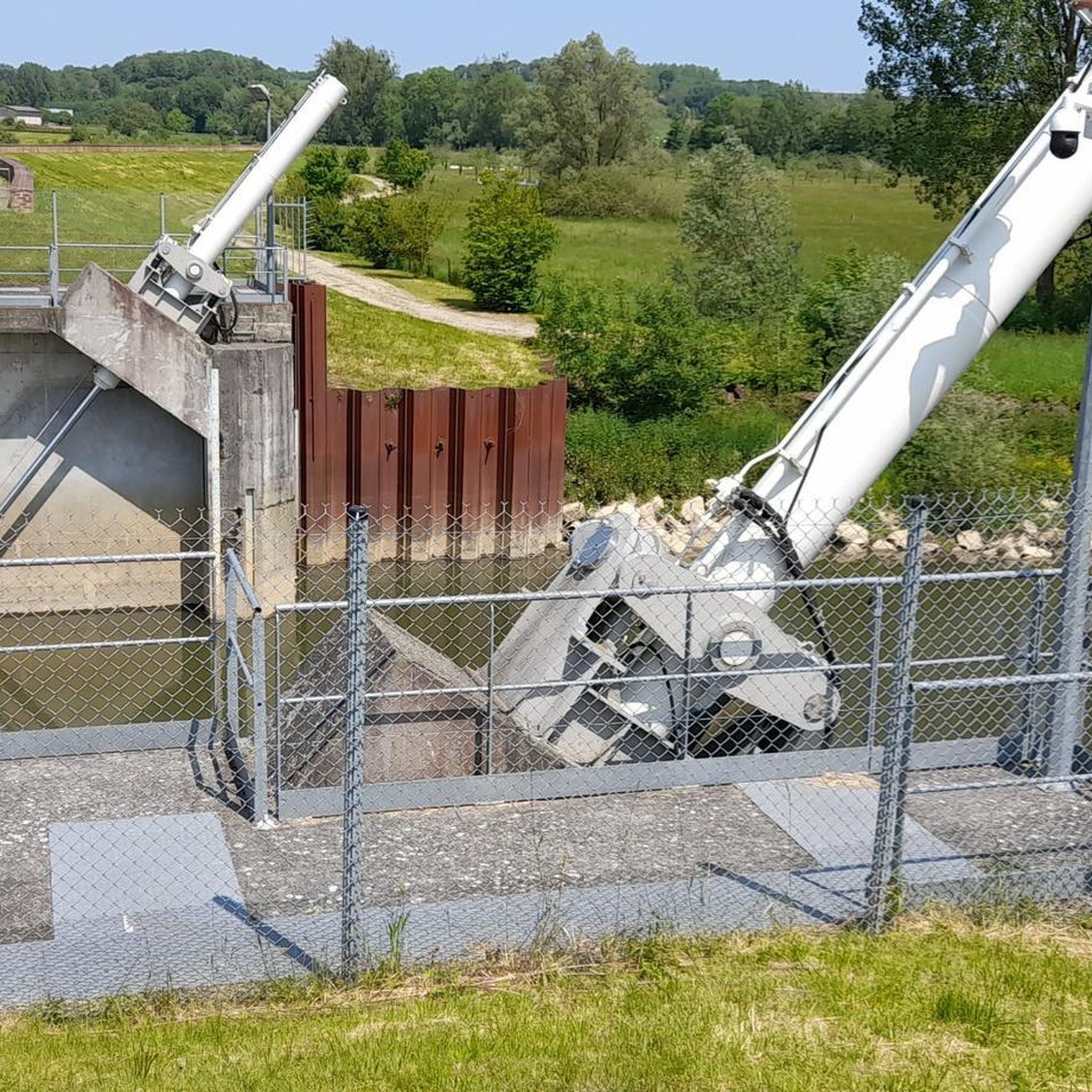

Tips from the Community

The feudal motte of Englancourt, located in the lower part of this village in Thiérache (Aisne), corresponds to an ancient oppidum and has a diameter of approximately 80 meters. Although largely leveled, it remains visible from the ground near the village as well as by aerial survey, testifying to the medieval origins of the site.
0
0

Fantastic fortified church that has survived several wars.
2
0

The Eglise Saint-Médard de Flavigny-le-Grand-et-Beaurain is a fortified church located in the town of Flavigny-le-Grand-et-Beaurain in the Aisne department of the Hauts-de-France region. The church was built in the 16th century and is an example of a fortified church. The church is listed in the general inventory of French cultural heritage.
1
0

A first church was probably built there as early as the 12th century. Nothing can be seen of it anymore, although the lower parts of the watchtowers at the corners of the east facade may still belong to the original building. More info: https://eglises-fortifiees-thierache.net/fr/oise-fr/marly-gomont/
1
0

Superb building recently restored. It still smells of fresh paint.
1
0
Frequently Asked Questions
How many hiking trails are available around Proisy?
There are over 50 hiking routes around Proisy, offering a variety of experiences. You'll find a good mix of easy and moderate trails, with a few more challenging options for experienced hikers.
What kind of terrain can I expect on hikes near Proisy?
The terrain around Proisy is generally gentle, characterized by farms, pastures, and rural landscapes with an average altitude of about 110 meters. Many routes utilize converted greenways, such as the Axe Vert de la Thiérache, which offer pleasant, flat paths along the Oise River. For more immersive forest experiences, the nearby Forest of Mormal provides extensive trails.
Are there any easy, family-friendly hikes in the area?
Yes, Proisy offers several easy routes perfect for families. An excellent option is the Jardin d'Hélène loop from Wiège-Faty, which is just over 5 km long and features minimal elevation gain, making it suitable for all ages. Another easy choice is the Fortified church of Autreppe – Saint-Hilaire Church loop from Erloy, which explores the local rural landscape and historic churches.
Can I bring my dog on the hiking trails around Proisy?
Generally, dogs are welcome on trails in the Proisy region, especially on rural paths and greenways. However, it's always recommended to keep your dog on a leash, particularly when passing through agricultural areas or near livestock, and to check for any specific local regulations or signage, especially within nature reserves.
Are there any circular walks available?
Yes, many of the hiking routes around Proisy are circular, allowing you to start and end at the same point. For example, the Beaurain fortified church loop from Flavigny-le-Grand-et-Beaurain is a popular moderate circular path offering views of the pastoral countryside and local heritage. Another great option is the Forêt du Régnaval loop from Erloy, which leads through forested areas and open fields.
What interesting landmarks or natural features can I see while hiking?
The region around Proisy is rich in rural charm and historical elements. You can explore the Axe Vert de la Thiérache, a converted railway line offering riverside views. Other notable points of interest include the Familistère of Guise, a unique social palace, and the historic Lavoir de Malzy. For natural beauty, the area features various nature reserves like the Réserve naturelle du marais de Vesles-et-Caumont, offering diverse ecosystems.
What do other hikers enjoy most about hiking in Proisy?
The hiking routes in Proisy are highly rated by the komoot community, with an average score of 4.5 stars from nearly 50 reviews. Hikers often praise the peaceful rural landscapes, the tranquility of the greenways, and the opportunity to explore local heritage and natural beauty away from crowded areas.
Is there parking available at the trailheads?
Yes, many of the hiking routes around Proisy, especially those starting from nearby villages like Erloy, Flavigny-le-Grand-et-Beaurain, or Wiège-Faty, typically have designated or informal parking areas available near the trailheads. Given the rural nature of the area, parking is generally accessible.
What is the best time of year to hike around Proisy?
The best time to hike around Proisy is generally from spring through autumn (April to October) when the weather is mild and the natural landscapes are in full bloom or displaying vibrant autumn colors. The gentle terrain also makes it suitable for pleasant walks during these seasons. Winter hiking is possible, but trails may be muddy or icy, and some services might be limited.
Are there any longer, more challenging hikes for experienced hikers?
While Proisy is known for its gentle terrain, you can find longer, moderate excursions. The Beaurain fortified church loop from Wiège-Faty is a moderate 10.5 km route that provides a good workout. For even more extensive options, venturing slightly further to the Forest of Mormal, about 34 km away, offers hundreds of kilometers of trails for more immersive and longer forest experiences.
Can I reach the hiking trails using public transport?
Public transport options directly to specific trailheads in the immediate vicinity of Proisy may be limited due to its rural location. It's advisable to check local bus schedules for connections to larger nearby towns like Guise or Hirson, which are on the Axe Vert de la Thiérache. However, for most routes, driving and parking at the starting points is the most convenient option.
Most popular attractions around Proisy

Get inspired with the komoot mobile app


Explore more
Browse the best Hikes in other regions.
