The best walks and hikes around Varzay
4.5
(46)
465
hikers
57
hikes
Hiking around Varzay offers diverse landscapes in the Charente-Maritime department of southwestern France. The region features a network of trails through tranquil wooded areas, picturesque rural scenery, and along rivers and valleys. Hikers can explore unique geological formations, such as the Blue Lakes of Touvérac, which are former white clay quarries. The terrain provides accessible paths suitable for various fitness levels, encompassing forests, agricultural lands, and natural waterways, with generally flat ground and gentle hills.
Best hiking trails around Varzay
…Last updated: July 1, 2026
5.0
(3)
16
hikers
9.20km
02:23
50m
50m
Moderate hike. Good fitness required. Easily-accessible paths. Suitable for all skill levels.
3.5
(2)
6
hikers
Moderate hike. Good fitness required. Easily-accessible paths. Suitable for all skill levels.

Sign up for free
5.0
(1)
2
hikers
4.44km
01:09
20m
20m
Easy hike. Great for any fitness level. Easily-accessible paths. Suitable for all skill levels.
2
hikers
Moderate hike. Good fitness required. Easily-accessible paths. Suitable for all skill levels.
4.0
(1)
4
hikers
5.33km
01:23
40m
40m
Easy hike. Great for any fitness level. Easily-accessible paths. Suitable for all skill levels.
Get access to more routes and recommendations from other explorers.
Sign up for free
Already have an account?
Our route recommendations are based on thousands of hikes, rides, and runs completed by other people on komoot.
Start today with a free account
Your next adventure awaits.
Login or Signup


Tips from the Community

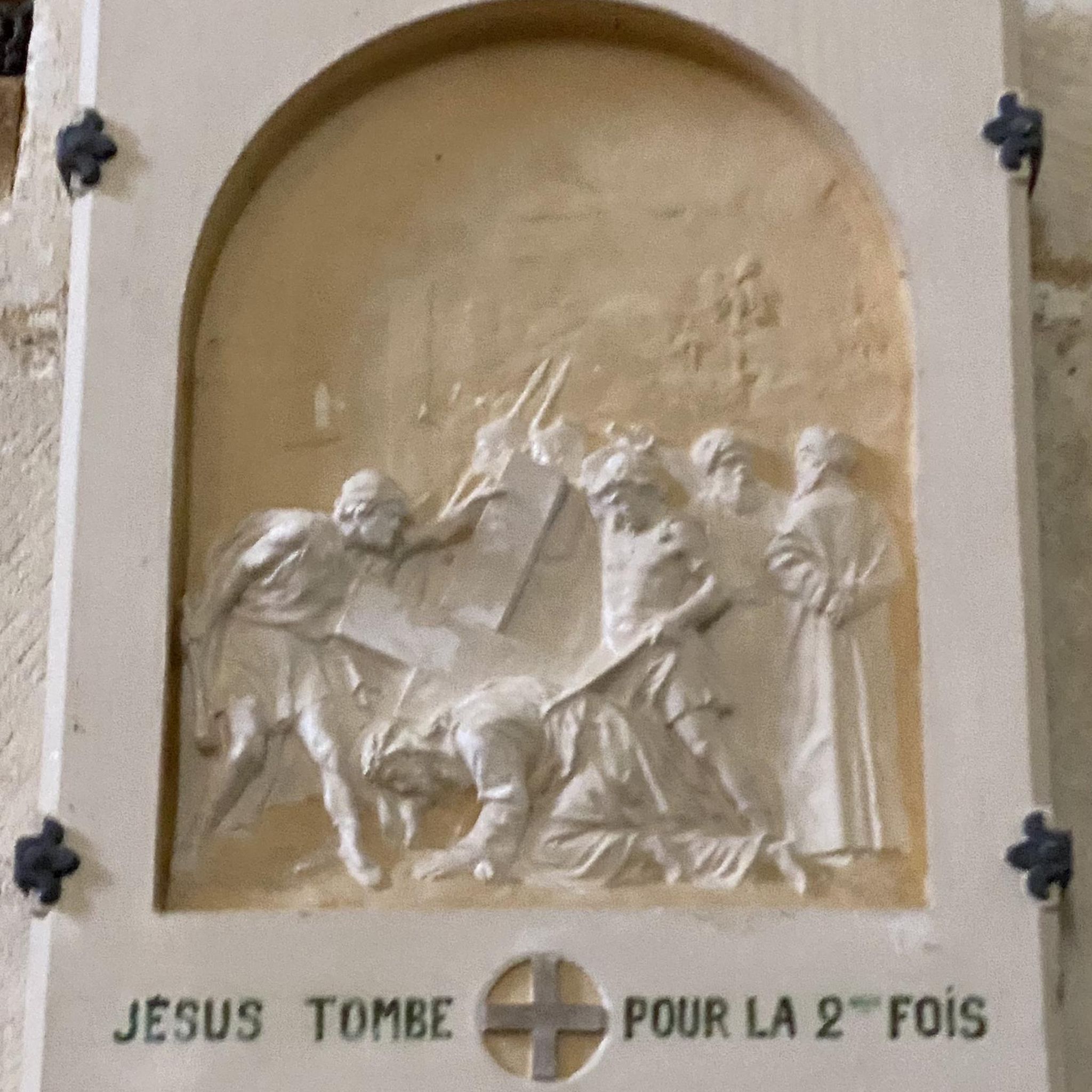
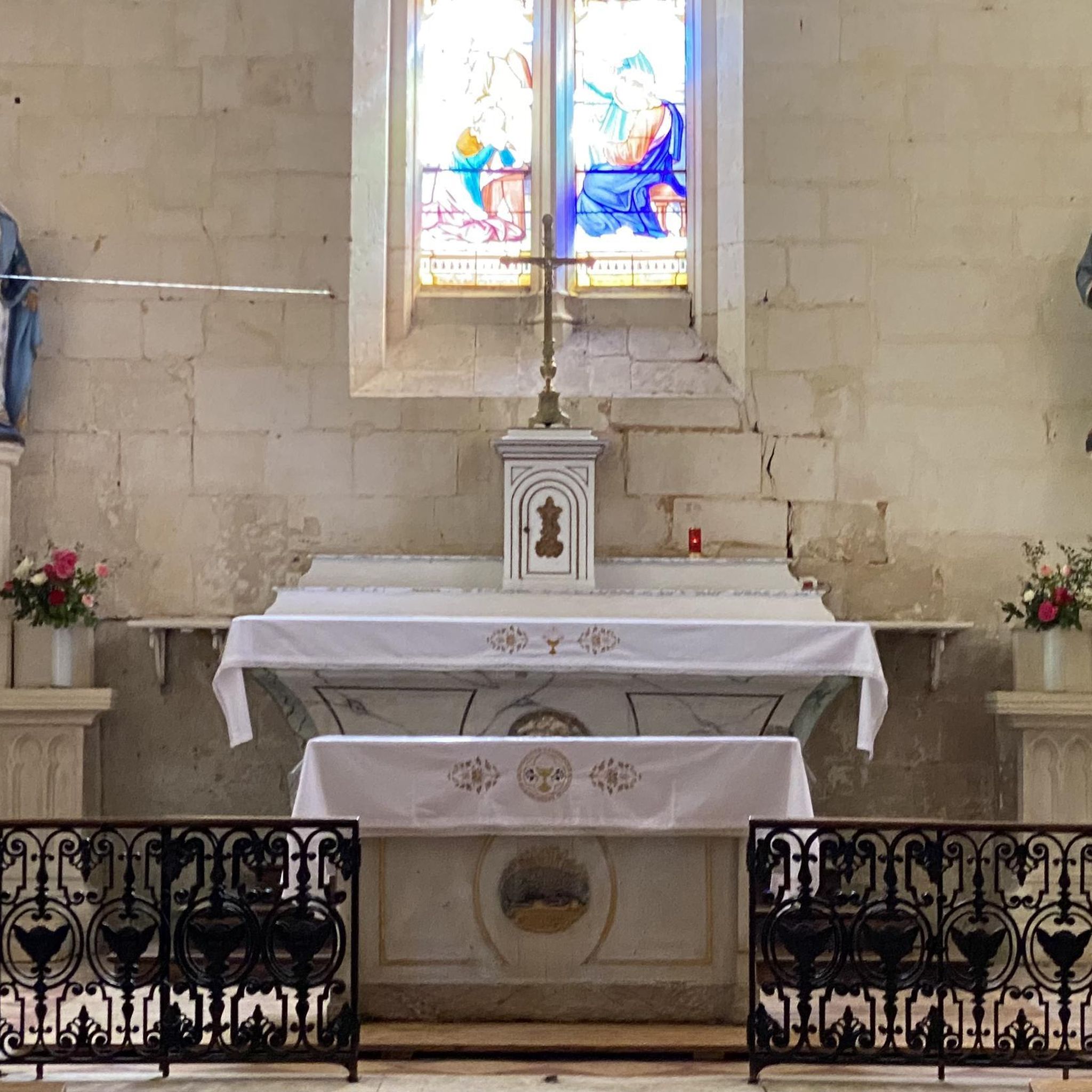
The Basilica of Saint-Eutrope de Saintes is a true masterpiece of Romanesque art and amazes with its two superimposed choirs and its crypt, one of the largest in Europe.
5
0

The Santons people occupied Saintonge during the Gallic era. The Romans conquered the region and settled on the banks of the Charente. The town of Saintes (then designated Mediolanum), located at the western end of the Via Agrippa which linked Lyon (capital of the Three Gauls) to the Atlantic coast, quickly became monumental. At the time of Augustus (27 BC – 14 AD), the city probably became the capital of the province of Greater Aquitaine (Aquitania). This then extended from the Loire to the Pyrenees. Mediolanum is endowed with important public monuments: the amphitheater, the arch of Germanicus, the thermal baths and the aqueduct are still partially visible today. At the time of its peak (end of the 1st century – beginning of the 2nd century), the city must have had several thousand inhabitants. The amphitheater of Mediolanum is one of the earliest in Gaul. It is estimated that its construction began during the reign of Tiberius (14 – 37 AD), and was completed during the reign of Claudius (41 – 54 AD). Like many amphitheaters of the Roman Empire, that of Saintes was located on the outskirts of the ancient city in a chosen and developed site: the “vallon des Arènes”. Thanks to a favorable topography, the builders were relieved of part of their work, the amphitheater resting on the slope of the valley. This elliptical monument, with imposing dimensions (126 meters long and 102 meters wide), made it possible to accommodate several thousand spectators around bloody and violent representations such as gladiator fights (munera) or animal hunts (venationes ). In the 3rd century, the city declined and was entrenched within an impressive rampart, built from the remains of public and funerary monuments from previous decades. The amphitheater is then no longer used. Since the Middle Ages, it has been used, among other things, as a stone quarry. It was classified as a Historic Monument in 1840. It was from this moment that it was gradually restored. Today, despite the disappearance of the superstructures, the remains provide a faithful image of what this monument could have been at the time of its splendor. The site welcomes visitors all year round. Certain objects found during various excavations in the amphitheater district are visible at the archaeological museum.
1
0

The key is always there. The crypt is an unforgettable experience. Accommodation is available directly at the church. And: there is a pilgrim service at 10 o'clock. The church is impressive. See Wikipedia
1
0
Frequently Asked Questions
How many hiking trails are available around Varzay?
There are over 60 hiking trails in and around Varzay, offering a variety of experiences. These range from easy strolls through rural landscapes to more moderate routes exploring forests and natural features.
What are the typical difficulty levels for hikes in this region?
The trails around Varzay primarily consist of easy and moderate routes. There are 37 easy trails and 24 moderate trails, making the area suitable for a wide range of fitness levels. You won't find any difficult trails here.
Are there any family-friendly hiking options near Varzay?
Yes, many of the trails around Varzay are suitable for families, especially the easy-rated routes. For example, the Chermignac Circuit 2 loop from Chermignac is an easy 4.4 km path that takes about 1 hour 10 minutes, perfect for a family outing through rural scenery.
Can I bring my dog on the hiking trails around Varzay?
While specific dog restrictions can vary by trail or protected area, many of the rural and forest paths around Varzay are generally dog-friendly. It's always recommended to keep dogs on a leash, especially when passing through agricultural areas or near wildlife, and to check local signage for any specific rules.
Are there any circular walks available in Varzay?
Yes, many of the routes around Varzay are designed as circular walks, allowing you to start and end at the same point. Examples include the Remarkable Oak Tree loop from Charente-Maritime and the Chermignac Circuit 2 loop from Bel-Air, which both offer scenic round trips.
What unique natural attractions can I discover while hiking near Varzay?
A significant natural attraction is the 'Blue Lakes of Touvérac,' a short distance from Varzay. These mysterious lakes, with their turquoise waters, are former white clay quarries now managed as a protected area. Hiking paths here wind through varied landscapes, offering unique panoramas and insights into the region's geological dynamics.
What kind of landscapes will I encounter on the trails?
Hikers around Varzay will experience diverse landscapes, including tranquil wooded areas, picturesque rural scenery with small hamlets, and paths alongside rivers and valleys. The region is characterized by its blend of forests, agricultural lands, and natural waterways, offering a true taste of the Saintonge region.
Are there any historical landmarks or points of interest along the routes?
Yes, the region offers historical points of interest. While hiking, you might encounter structures like a 12th-century church or a 15th-century watchtower in small hamlets. Nearby, you can also explore significant religious buildings such as Abbaye aux Dames de Saintes and Saint-Pierre Cathedral (Saintes).
What do other hikers say about the trails in Varzay?
The komoot community highly rates the trails around Varzay, with an average score of 4.3 stars from over 40 reviews. Hikers often praise the tranquil rural scenery, the well-maintained paths, and the opportunity to explore diverse natural environments like forests and river valleys.
What is the typical length and duration of hikes in the area?
Hikes around Varzay vary in length and duration. You can find shorter, easy routes like the Chermignac Circuit 2 loop from Chermignac, which is about 4.4 km and takes just over an hour. Longer moderate trails, such as the Bois de Leuzois – Bois de Chez Chaillou loop from Nieul-lès-Saintes, can be up to 14.6 km and take around 3 hours 45 minutes.
Are there accessible paths for those with limited mobility or wheelchairs?
The region offers some easily accessible paths, particularly those traversing rural scenery. While specific wheelchair accessibility details for every trail are not available, the general nature of many routes through fields and woodlands suggests options for those seeking less challenging terrain. It's advisable to check individual route descriptions for specific surface conditions.
When is the best time of year to go hiking in Varzay?
Varzay offers pleasant hiking conditions for much of the year. Spring and autumn provide mild temperatures and beautiful scenery, with blooming wildflowers or vibrant fall foliage. Summer can be warm, making early morning or late afternoon hikes ideal. Winter offers a different, tranquil experience, though some paths might be muddy after rain.
Most popular attractions around Varzay

Get inspired with the komoot mobile app


Explore more
Browse the best Hikes in other regions.
