The best walks and hikes around Magny-La-Fosse
4.5
(175)
573
hikers
39
hikes
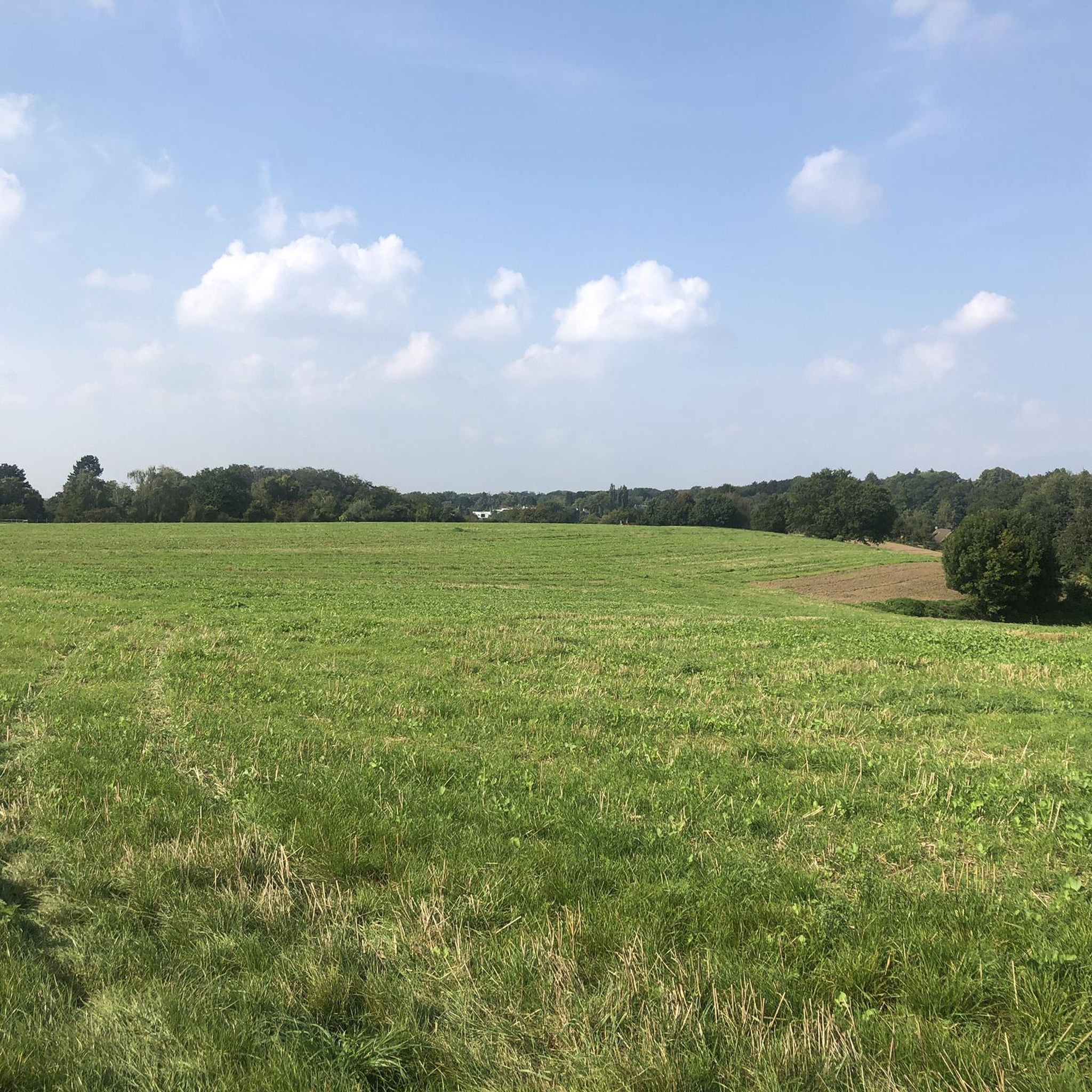
Hiking around Magny-La-Fosse provides access to the tranquil landscapes of the Aisne department in Hauts-de-France. The region is characterized by its proximity to the Somme River valley, offering diverse terrain including woods, pastures, and grasslands. Trails often feature gentle elevation changes, making them suitable for various fitness levels. The area also incorporates historical points of interest, particularly related to World War I, alongside natural features like river valleys and canal routes.
Best hiking trails around Magny-La-Fosse
- The most popular hiking…
Last updated: July 27, 2026
4.9
(16)
38
hikers
8.77km
02:17
60m
60m
Moderate hike. Good fitness required. Easily-accessible paths. Suitable for all skill levels.
3.0
(1)
9
hikers
3.16km
00:49
20m
20m
Easy hike. Great for any fitness level. Easily-accessible paths. Suitable for all skill levels.

Sign up for free
4.8
(5)
14
hikers
5.40km
01:25
20m
30m
Moderate hike. Great for any fitness level. Mostly accessible paths. Sure-footedness required.
3.0
(1)
11
hikers
3.06km
00:47
10m
10m
Easy hike. Great for any fitness level. Easily-accessible paths. Suitable for all skill levels.
5.0
(1)
3
hikers
4.68km
01:14
40m
40m
Easy hike. Great for any fitness level. Easily-accessible paths. Suitable for all skill levels.
Get access to more routes and recommendations from other explorers.
Sign up for free
Already have an account?
Our route recommendations are based on thousands of hikes, rides, and runs completed by other people on komoot.
Start today with a free account
Your next adventure awaits.
Login or Signup



Tips from the Community

A very pleasant walk along the canal in Rieval and a war memorial. Motorhome area departure point
0
0

Beautiful surroundings walking route and maritime museum
0
0


Frequently Asked Questions
How many hiking trails are available around Magny-La-Fosse?
There are over 40 hiking routes around Magny-La-Fosse, offering a variety of experiences. These include 20 easy trails, 18 moderate paths, and 3 more challenging options, ensuring there's something for every fitness level.
What kind of terrain can I expect on hikes near Magny-La-Fosse?
The terrain around Magny-La-Fosse is characterized by gentle river valleys, historical canal routes, and open agricultural landscapes. You'll find diverse scenery including woods, pastures, and grasslands, with generally gentle elevation changes.
Are there any family-friendly hiking options in the area?
Yes, many of the trails around Magny-La-Fosse are suitable for families. For an easy and relatively short walk, consider the Riqueval Tunnel – Pont de Riqueval loop from Nauroy, which is 3.3 km long and takes about 51 minutes to complete through gentle terrain.
What historical points of interest can I discover while hiking?
The region is rich in history, particularly related to World War I. You can explore sites like the Joncourt British Cemetery. Additionally, the area features historical canal routes and structures like the Pont de Riqueval, which are often part of hiking loops.
Are there any natural attractions or scenic views along the trails?
Absolutely. The Somme River valley, which is close to Magny-La-Fosse, is known for its diverse landscapes, including woods, pastures, and grasslands. You can also visit the Source of the Somme near Saint-Quentin, offering a unique natural landmark.
What do other hikers say about the trails around Magny-La-Fosse?
The routes in Magny-La-Fosse are highly rated by the komoot community, with an average score of 4.6 stars from over 140 reviews. Hikers often praise the tranquil landscapes, the blend of natural beauty with historical sites, and the well-maintained paths suitable for various abilities.
Can I find circular hiking routes near Magny-La-Fosse?
Yes, many of the trails are designed as loops. For example, the Pont de Riqueval – Riqueval Tunnel loop from Bellenglise is a popular moderate circular route covering 8.8 km, exploring the historic Riqueval Tunnel area.
Are there any longer, more challenging hikes available?
While many trails are easy to moderate, there are a few longer options. The Pont de Riqueval – Riqueval Tunnel loop from Bellenglise is one of the longer moderate routes at 8.8 km, offering a good challenge without extreme elevation.
What is the best time of year to go hiking in Magny-La-Fosse?
The Hauts-de-France region, where Magny-La-Fosse is located, offers pleasant hiking conditions through much of the year. Spring and autumn provide comfortable temperatures and beautiful scenery, while summer is also suitable, especially for shaded routes or early morning walks.
Are there any notable landmarks or towns nearby worth visiting after a hike?
Yes, the nearby town of Saint-Quentin is home to the impressive Basilique Saint-Quentin, a Gothic church with a rich history and stunning architecture. It's a significant cultural attraction that complements a day of hiking.
Are there any easy hikes for beginners or those looking for a short stroll?
Certainly. The area offers 20 easy trails perfect for beginners or a leisurely walk. A good option is the Canal to Saint-Quentin loop from Lehaucourt, an easy 5.2 km route that takes about 1 hour and 20 minutes.
What are the typical distances and durations of hikes around Magny-La-Fosse?
Hikes in the area vary in length and duration. You can find shorter trails like the Pont de Riqueval – Riqueval Tunnel loop from Bellicourt, which is 3.1 km and takes about 47 minutes, up to longer moderate routes around 8-9 km, typically completed in 2 to 2.5 hours.
Most popular routes around Magny-La-Fosse
Most popular attractions around Magny-La-Fosse

Get inspired with the komoot mobile app


Explore more
Browse the best Hikes in other regions.
