The best MTB trails around Pamplie
4.6
(52)
231
riders
41
rides
Mountain bike trails around Pamplie are characterized by undulating terrain within the Deux-Sèvres department of western France. The region features elevations between 77 and 167 meters, providing varied gradients for cycling. Significant forest cover, accounting for over 15% of the commune, offers natural settings for trails, while the Miochette river adds to the natural features. The landscape primarily consists of agricultural land, interspersed with woodlands suitable for mountain biking.
Best mountain bike trails around Pamplie
- The most popular mountain bike…
Last updated: June 27, 2026
2.8
(4)
11
riders
35.9km
02:45
440m
440m
Moderate mountain bike ride. Good fitness required. Advanced riding skills necessary.
5.0
(2)
11
riders
36.8km
02:52
470m
470m
Moderate mountain bike ride. Good fitness required. Advanced riding skills necessary.

Sign up for free
4.4
(5)
5
riders
30.9km
02:24
360m
360m
Moderate mountain bike ride. Good fitness required. Advanced riding skills necessary.
5.0
(1)
9
riders
Moderate mountain bike ride. Good fitness required. Advanced riding skills necessary.
4.0
(2)
7
riders
30.2km
02:26
420m
420m
Moderate mountain bike ride. Good fitness required. Advanced riding skills necessary.
Get access to more routes and recommendations from other explorers.
Sign up for free
Already have an account?
Our route recommendations are based on thousands of hikes, rides, and runs completed by other people on komoot.
Start today with a free account
Your next adventure awaits.
Login or Signup


Tips from the Community

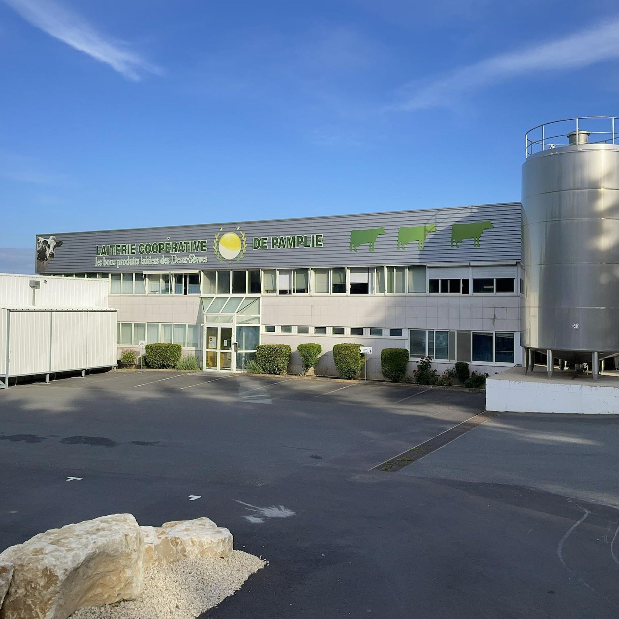
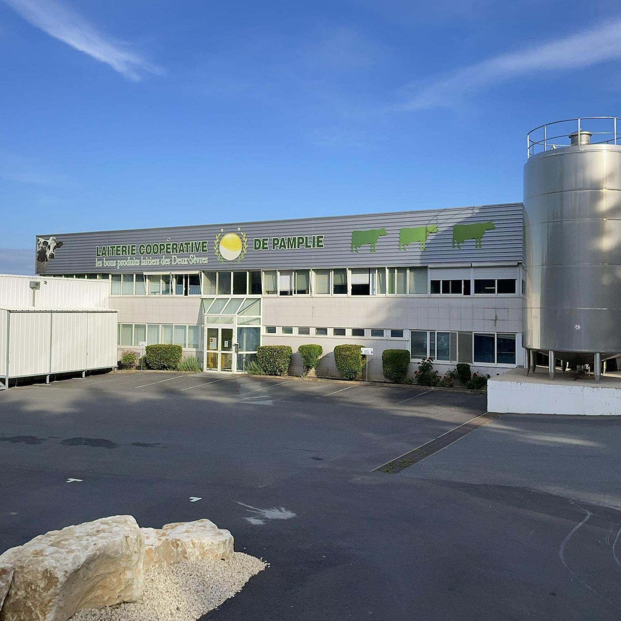
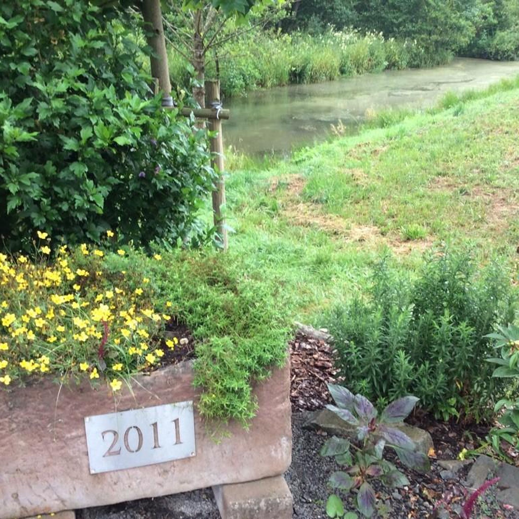
Body of water intended for fishing and placed on the route of the Thouet cycle route. Many picnic tables, games for children and a snack.
1
0
Charming little village with a pond to the south, accessible on foot, by a short hiking path, "le chemin des randonneurs".
1
0
Small quiet wood with pretty asphalt roads and paths in the middle of the forest.
1
0
Very beautiful and atypical church, located on the secondary road to Santiago de Compostela and on the Francette bike. Large lawn with trees, ideal for a short break.
1
0

Frequently Asked Questions
How many mountain bike trails are available around Pamplie?
Pamplie offers a diverse selection of nearly 40 mountain bike trails. These routes cater to various skill levels, with options ranging from easy to difficult, ensuring there's something for every rider.
What kind of terrain can I expect on mountain bike trails in Pamplie?
The mountain bike trails around Pamplie feature undulating terrain within the Deux-Sèvres department. You'll encounter varied gradients with elevations between 77 and 167 meters. The landscape is characterized by significant forest cover, agricultural land, and the presence of the Miochette river, offering a mix of natural settings.
Are there mountain bike trails suitable for beginners or families in Pamplie?
Yes, Pamplie has several trails suitable for beginners and families. There are 6 easy routes available, perfect for those looking for a less challenging ride through the local scenery. These trails often pass through woodlands and offer a gentle introduction to mountain biking in the region.
What are some of the more challenging mountain bike routes in Pamplie?
For experienced riders seeking a challenge, Pamplie offers 10 difficult mountain bike routes. These trails typically feature more significant elevation changes and technical sections, providing a rewarding experience for advanced mountain bikers.
Are there any circular mountain bike routes around Pamplie?
Many of the mountain bike trails in Pamplie are designed as loops, allowing you to start and finish at the same point. For example, the Le Beugnon and its little pond loop from Pamplie is a popular moderate 22.9-mile circular trail.
What do other mountain bikers say about the trails in Pamplie?
The mountain bike trails in Pamplie are highly regarded by the komoot community, holding an average rating of 4.5 out of 5 stars from over 50 reviews. Riders frequently praise the varied terrain, the peaceful forested sections, and the well-maintained paths that make for an enjoyable experience.
Are there any interesting landmarks or viewpoints along the mountain bike trails in Pamplie?
While riding, you can discover several points of interest. The Saint-Médard-de-Germond Church – Lac des Effres de Secondigny loop from Fenioux passes by the historic Saint-Médard-de-Germond Church and the scenic Lac des Effres de Secondigny. You might also encounter the Pouzay Dovecote or enjoy a View of the Countryside Near Le Beugnon.
What is the best season for mountain biking in Pamplie?
Pamplie's climate makes mountain biking enjoyable across several seasons. Spring and autumn generally offer pleasant temperatures and vibrant scenery, with the forested areas providing good cover. Summer can also be suitable, especially during cooler mornings or evenings, while winter rides are possible on drier days.
Are there any mountain bike trails that offer good views?
Yes, the undulating terrain and mix of agricultural land and forests provide opportunities for scenic views. The View of the Countryside Near Le Beugnon is a specific highlight where you can pause and appreciate the surrounding landscape.
Can I find mountain bike trails that pass by lakes or ponds in Pamplie?
Absolutely. The region features several water bodies that trails often incorporate. The Champdeniers – Etang loop from Champdeniers, for instance, leads through forests and past local ponds, offering picturesque views and a refreshing atmosphere.
Are there any lesser-known or 'hidden gem' mountain bike trails in the Pamplie area?
While specific 'hidden gems' are often discovered by local exploration, trails like the Champdeniers – Saint-Médard-de-Germond Church loop from Champdeniers offer a less frequented yet rewarding experience, winding through varied landscapes away from the most popular routes.
What is the typical elevation gain on mountain bike trails in Pamplie?
The elevation gain on trails in Pamplie varies, reflecting the region's undulating terrain. For example, a moderate route like the Champdeniers – Arpenterault Wood loop from Champdeniers involves an elevation gain of around 356 meters, providing a good workout without extreme climbs.
Most popular attractions around Pamplie

Get inspired with the komoot mobile app


Explore more
Browse the best MTB trails in other regions.
