The best walks and hikes around Fareins
4.4
(428)
2,910
hikers
237
hikes
Hiking trails near Fareins offer diverse landscapes, from the flat, pond-filled Dombes region to the rolling hills of the Beaujolais mountains. The area is characterized by wetlands, forests, and agricultural lands, with the Saône River forming a prominent natural feature. This varied terrain provides a range of hiking experiences, from leisurely strolls around ponds to more elevated paths offering panoramic views.
Best hiking trails around Fareins
- The most popular hiking route is View of the Saône River – Château de…
Last updated: August 20, 2026
4.1
(7)
28
hikers
Easy hike. Great for any fitness level. Easily-accessible paths. Suitable for all skill levels.
4.8
(5)
23
hikers
13.0km
03:25
100m
100m
Moderate hike. Good fitness required. Easily-accessible paths. Suitable for all skill levels.

Sign up for free
4.8
(5)
18
hikers
6.56km
01:42
40m
40m
Easy hike. Great for any fitness level. Easily-accessible paths. Suitable for all skill levels.
4.0
(1)
23
hikers
7.44km
01:53
10m
10m
Easy hike. Great for any fitness level. Easily-accessible paths. Suitable for all skill levels.
8
hikers
4.21km
01:05
20m
20m
Easy hike. Great for any fitness level. Easily-accessible paths. Suitable for all skill levels.
Get access to more routes and recommendations from other explorers.
Sign up for free
Already have an account?
Our route recommendations are based on thousands of hikes, rides, and runs completed by other people on komoot.
Start today with a free account
Your next adventure awaits.
Login or Signup

Tips from the Community

was wonderful to ride!
0
0

A lovely bridge to reach Villefranche-sur-Saône from Beauregard, accessible only on foot or by bicycle.
0
0

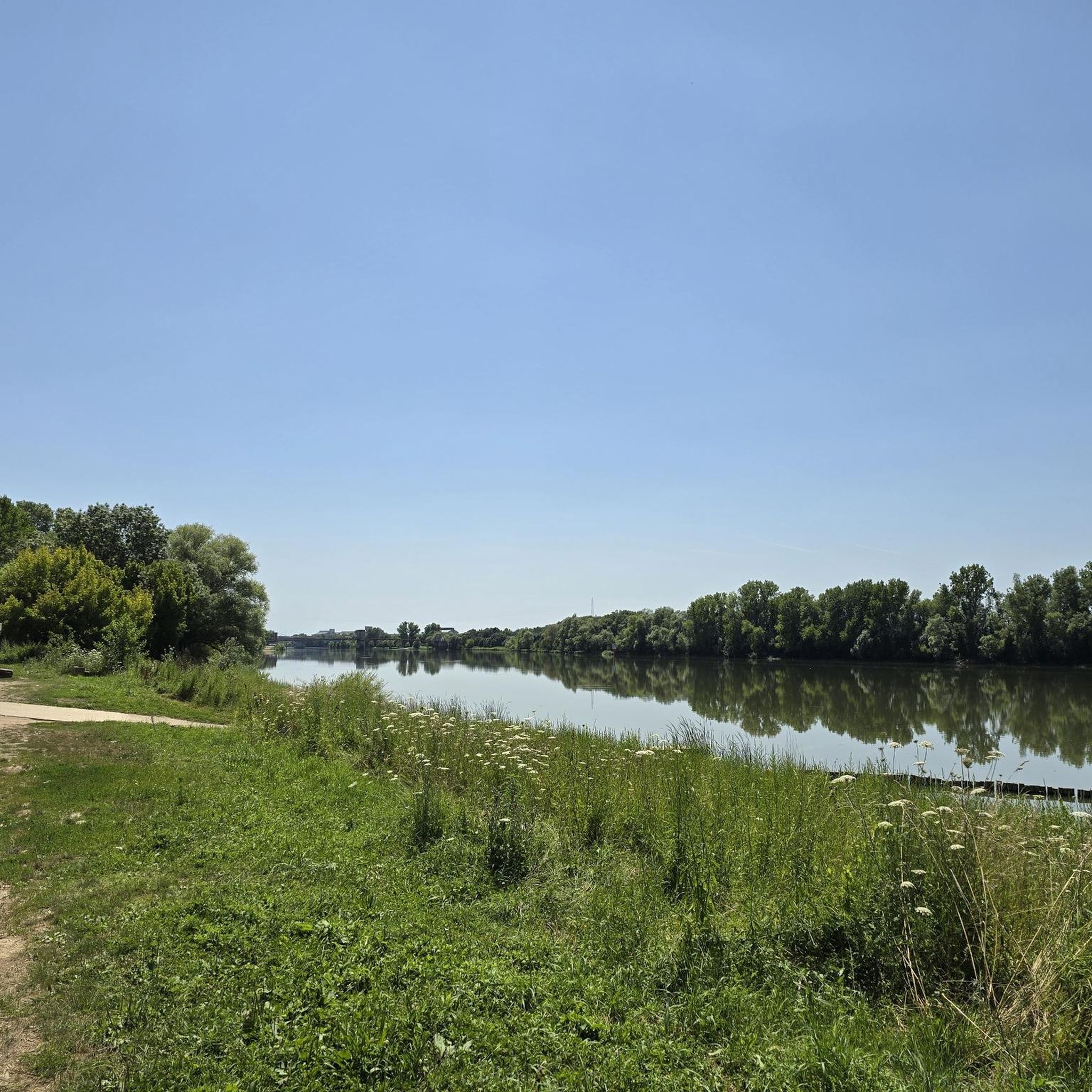
The Voie Bleue is a cycle route of nearly 700 kilometers that connects Lyon to Luxembourg. In the Ain department, it runs along pleasant towpaths suitable for all types of bicycles.
0
0

A "chemin de halage", or in German "treidelpfad", which runs alongside the waterway right next to the bed of the river or canal, was an indispensable part of the transport infrastructure in earlier times. Before ships could move using motor power, horses ran along the bank and pulled the ship against the current. This was called "treideln", and this is how the "treidelpfads" got their name, which has been passed down to this day. Where these paths directly on the bank have been preserved, they are often used by hikers and cyclists.
0
0


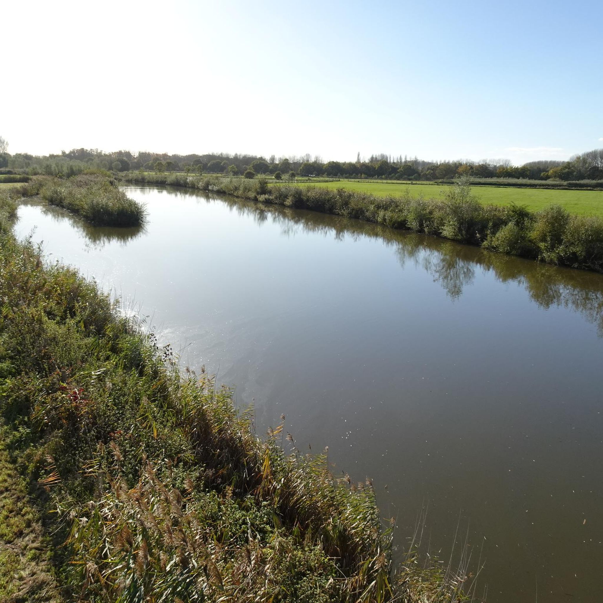
A path suitable for gravel bikes and travel bikes.
1
1
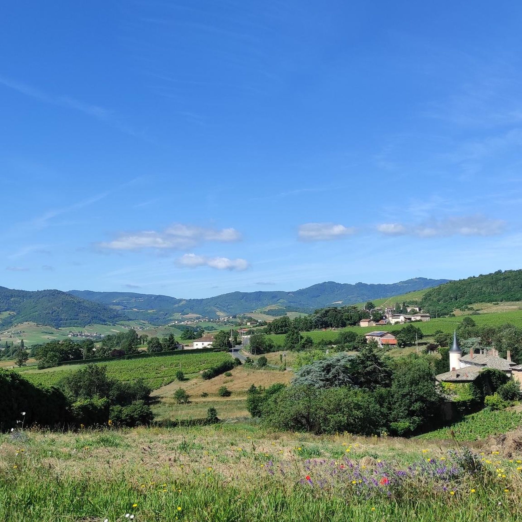
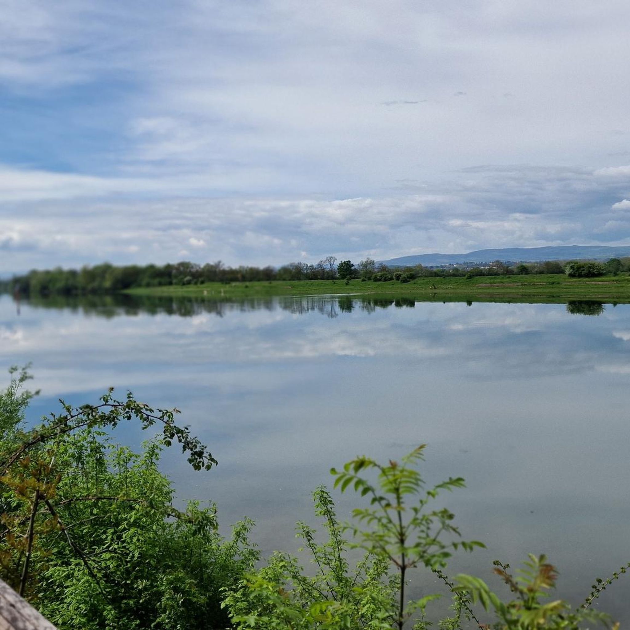
A superb view of the Beaujolais mountains, the mirror of the Saône.
1
0
A bridge only for pedestrians and bicycles!
2
0
Frequently Asked Questions
How many hiking trails are there around Fareins?
Fareins offers a wide variety of hiking opportunities, with over 200 routes available. These trails cater to different preferences, ranging from easy, flat walks to more moderate ascents through varied landscapes.
Are there easy or family-friendly hiking options in Fareins?
Yes, Fareins is well-suited for easy and family-friendly hikes. The region features many flat paths, especially around the ponds of the Dombes. For a pleasant, accessible stroll, consider the Château de Messimy loop from Messimy-sur-Saône, which is just 2.6 miles (4.3 km) long and takes about an hour.
What kind of landscapes can I expect to see while hiking near Fareins?
Hiking near Fareins offers a diverse range of landscapes. You can explore the unique wetland environment of the Dombes region, known for its abundant ponds and rich birdlife. Alternatively, venture towards the Beaujolais mountains for rolling hills, forests, and panoramic views. The Saône River also features prominently, with many trails following its scenic towpaths.
Are there any circular hiking routes around Fareins?
Yes, many routes around Fareins are circular, allowing you to start and end at the same point. A popular option is the Château de Fléchères – View of the Saône River loop from Fareins, a 4.1 miles (6.6 km) trail that takes you through the local countryside.
What are some notable attractions or landmarks I can see on a hike?
The area around Fareins is rich in historical and natural attractions. You can visit the impressive Château de Fléchères, which has a 40-hectare park perfect for strolls. Many routes also offer views of the Saône River and pass through charming villages. The wider region also features other castles like Montmelas Castle and Fétan Castle.
Are there hiking trails with good viewpoints around Fareins?
While Fareins itself is close to the flat Dombes region, the nearby Beaujolais mountains offer excellent viewpoints. From various spots in the Beaujolais, including Mont Brouilly, you can enjoy expansive vistas of the Saône valley, the Bresse, the Dombes, and even the distant Alps and Mont Blanc on clear days.
What do other hikers enjoy most about the trails in Fareins?
The hiking trails in Fareins are highly rated by the komoot community, with an average score of 4.4 stars from over 300 reviews. Hikers often praise the varied terrain, from tranquil river towpaths to the unique wetland ponds and forested hills, offering a refreshing mix of natural beauty and historical sights like the Château de Fléchères.
Can I find trails that follow the Saône River?
Yes, the Saône River is a prominent feature of the landscape, and several trails follow its banks. The Towpath along the Saône loop from Beauregard is a great option, offering a 4.7 miles (7.5 km) easy walk right alongside the river.
What is the best time of year for hiking in Fareins?
The Dombes region, with its ponds, offers a vibrant display of colors, scents, and sounds throughout the warmer months, making spring and autumn particularly pleasant for birdwatching and enjoying the lush vegetation. The Beaujolais mountains are also beautiful in spring with blooming flowers and in autumn with changing foliage. Always check local weather conditions before heading out.
Are there any specific trails that highlight the unique Dombes region?
While specific komoot routes are not listed for the Dombes, the region itself is characterized by its 'land of a thousand ponds.' Many local trails wind through this unique wetland, offering opportunities to observe diverse bird fauna and experience the tranquil, dynamic scenery. For more information on walking in the Dombes, you can visit Dombes Tourisme.
Are there options for longer, more challenging hikes?
While many trails around Fareins are easy to moderate, the wider region, particularly towards the Beaujolais mountains, offers more challenging routes. For a moderate hike, consider the Towpath along the Saône – Beauregard loop from Beauregard, which is 8.1 miles (13.1 km) long and involves some elevation changes, providing a good workout.
Most popular attractions around Fareins

Get inspired with the komoot mobile app


Explore more
Browse the best Hikes in other regions.
