The best road cycling routes around Ormoy
4.2
(259)
5,506
riders
277
rides
Road cycling routes around Ormoy traverse the varied landscapes of the Essonne department, situated within the Île-de-France region. The area is characterized by its proximity to the Parc naturel régional du Gâtinais français, featuring extensive forests, agricultural plains, and unique sandstone formations. Cyclists can expect rolling hills that provide varied elevation changes, alongside less-frequented roads suitable for road cycling. The Essonne River also flows through the local terrain, adding to the natural features.
Best road cycling routes around Ormoy
- The…
Last updated: August 29, 2026
4.4
(7)
42
riders
54.1km
02:19
360m
360m
Moderate road ride. Good fitness required. Mostly well-paved surfaces and easy to ride.
4.3
(3)
22
riders
Easy road ride. Great for any fitness level. Mostly well-paved surfaces and easy to ride.

Sign up for free
18
riders
38.3km
01:37
200m
200m
Easy road ride. Great for any fitness level. Mostly well-paved surfaces and easy to ride.
4.0
(1)
15
riders
92.9km
03:51
480m
480m
Moderate road ride. Good fitness required. Some segments of this route may be unpaved and difficult to ride.
16
riders
82.9km
03:23
390m
390m
Moderate road ride. Good fitness required. Mostly well-paved surfaces and easy to ride.
Get access to more routes and recommendations from other explorers.
Sign up for free
Already have an account?
Our route recommendations are based on thousands of hikes, rides, and runs completed by other people on komoot.
Start today with a free account
Your next adventure awaits.
Login or Signup


Tips from the Community


"Built by King Louis IX in 998 as a simple hunting lodge in the heart of the "Ile de France," Fontainebleau soon fell into obscurity. It wasn't until Francis I discovered his love for Fontainebleau and elevated it to a royal residence that the palace's true history began, as the ancestral home of the French kings. Henry IV had the complex expanded, and under Napoleon I, the building was extensively restored as the first imperial residence." With these words, a text on the media library's website introduces a 15-minute film (in German) about the UNESCO World Heritage Site. If you're interested, see => https://www.ardmediathek.de/video/schaetze-der-welt/fontainebleau-frankreich-folge-19/swr/Y3JpZDovL3N3ci5kZS83MjQ1NTMy
0
0

Former market square in the heart of Milly-la-Forêt.
1
0

A classic: bicycles are tolerated there so let's not do just anything!
0
0
The origins of this imposing wayside cross are said to date back to the 17th century; it has been destroyed several times since – including during the French Revolution – but always rebuilt. The crossing, i.e. the intersection of the longitudinal and transverse beams of the cross, is designed as a closed circle, the transverse beam bears the inscription „Croix de Calvaire“. The name refers to Calvary Hill, in memory of the crucifixion of Jesus Christ on Golgotha (this Aramaic word means – just like Calvaire, derived from Latin – „skull place“) near Jerusalem.
2
0

A bridge name like that can't be made up. ;)
0
0

Lovely place for a bike ride.
0
0

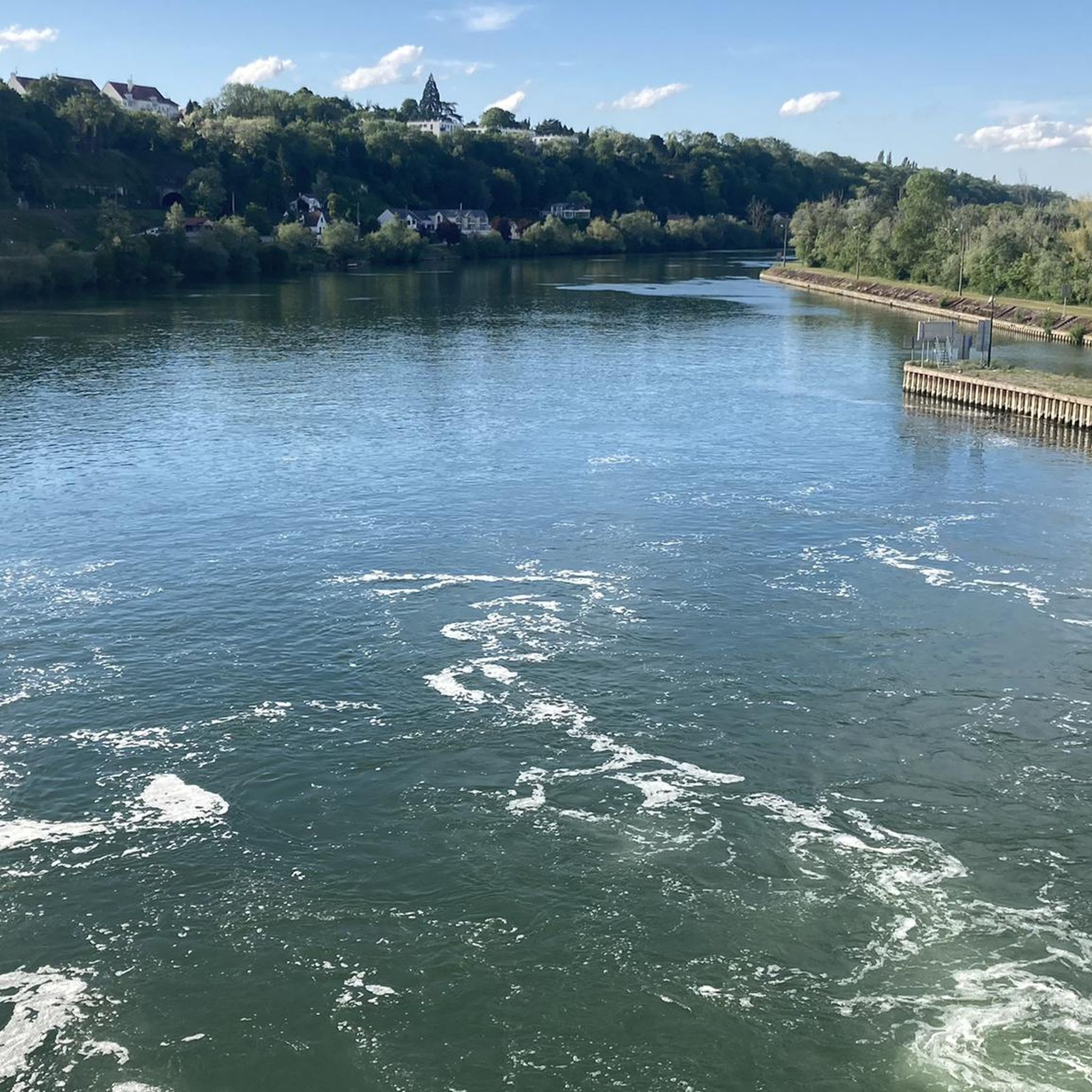
One of my favorite routes. Little traffic in general. The banks of the Seine are quite pleasant up to Fontaine le port.
0
0
Frequently Asked Questions
How many road cycling routes are available around Ormoy?
There are over 300 road cycling routes around Ormoy, offering a wide range of options for cyclists. These routes traverse the varied landscapes of the Essonne department, including the Parc naturel régional du Gâtinais français.
What are the general characteristics of the road cycling terrain around Ormoy?
Road cycling around Ormoy is characterized by a mix of extensive forests, agricultural plains, and rolling hills. The region, especially within the Parc naturel régional du Gâtinais français, features less-frequented roads, making for a pleasant cycling experience. You can expect varied elevation changes, offering both leisurely rides and more challenging routes.
What are the difficulty levels of road cycling routes in Ormoy?
The routes around Ormoy cater to various skill levels. There are 69 easy routes, 233 moderate routes, and 14 difficult routes. This diversity ensures that both beginners and experienced cyclists can find suitable challenges.
Are there any circular road cycling routes around Ormoy?
Yes, many of the road cycling routes around Ormoy are circular, allowing you to start and end at the same point. For example, the Loop of Gâtinais Nord — Parc Naturel Régional du Gâtinais Français is a popular circular route, as is the Domaine de Courances – Superb road between forests loop from Mennecy.
What landmarks or points of interest can I see along road cycling routes near Ormoy?
Cycling around Ormoy allows you to discover a rich cultural and natural heritage. Routes often pass through picturesque villages and near notable sites such as the Château de Courances. You might also encounter natural features like the Fontenay-le-Vicomte Marsh or the Plateau and Pond in the Forest of Champcueil. The Old Sénart Forest Path is another notable area for exploration.
What do other road cyclists enjoy most about cycling in Ormoy?
The road cycling routes around Ormoy are highly rated by the komoot community, with an average score of 4.2 stars from over 240 reviews. Cyclists frequently praise the diverse terrain, the extensive forests, and the less-trafficked roads that offer a peaceful riding experience through the regional park.
Are there family-friendly road cycling routes in Ormoy?
While many routes are moderate, there are 69 easy routes around Ormoy that could be suitable for families, depending on the children's cycling experience. These routes often feature flatter sections and quieter roads, particularly within the natural park areas. Always check the route details for distance and elevation to ensure it matches your family's ability.
Is public transport accessible for cyclists in Ormoy?
Ormoy is located within the Île-de-France region, which has a public transport network. However, specific accessibility for bicycles on trains or buses can vary. It's advisable to check the local public transport operator's policies regarding bicycle carriage before planning your trip, especially during peak hours.
Where can I find parking for road cycling routes in Ormoy?
While specific parking areas for cyclists are not always explicitly marked, you can often find parking in or near the starting points of many routes, particularly in villages or near popular attractions. For routes starting from towns like Mennecy, there are usually public parking facilities available. Always check local signage for parking regulations.
What is the best season for road cycling around Ormoy?
The spring and autumn months generally offer the most pleasant conditions for road cycling around Ormoy, with mild temperatures and beautiful scenery as the forests change colors. Summer can also be enjoyable, but it's wise to start earlier in the day to avoid the midday heat. Winters can be cold and potentially wet, but routes remain accessible for determined cyclists.
Are there cafes or places to stop along the road cycling routes?
Yes, many road cycling routes around Ormoy pass through or near charming villages within the Parc naturel régional du Gâtinais français. These villages often have local cafes, bakeries, or small restaurants where you can stop for refreshments. Planning your route with potential stops in mind can enhance your cycling experience.
Can I cycle through natural parks and forests in Ormoy?
Absolutely. A significant draw for road cyclists in Ormoy is its proximity to the Parc naturel régional du Gâtinais français. Over a third of this park is covered by woods and forests, offering numerous routes that wind through natural areas. For example, the Superb road between forests – Bonnevaux Castle loop from Mennecy takes you through extensive forested sections.
Most popular attractions around Ormoy

Get inspired with the komoot mobile app


Explore more
Browse the best Road cycling routes in other regions.
