The best walks and hikes around Brantes
4.4
(1651)
9,812
hikers
21
hikes
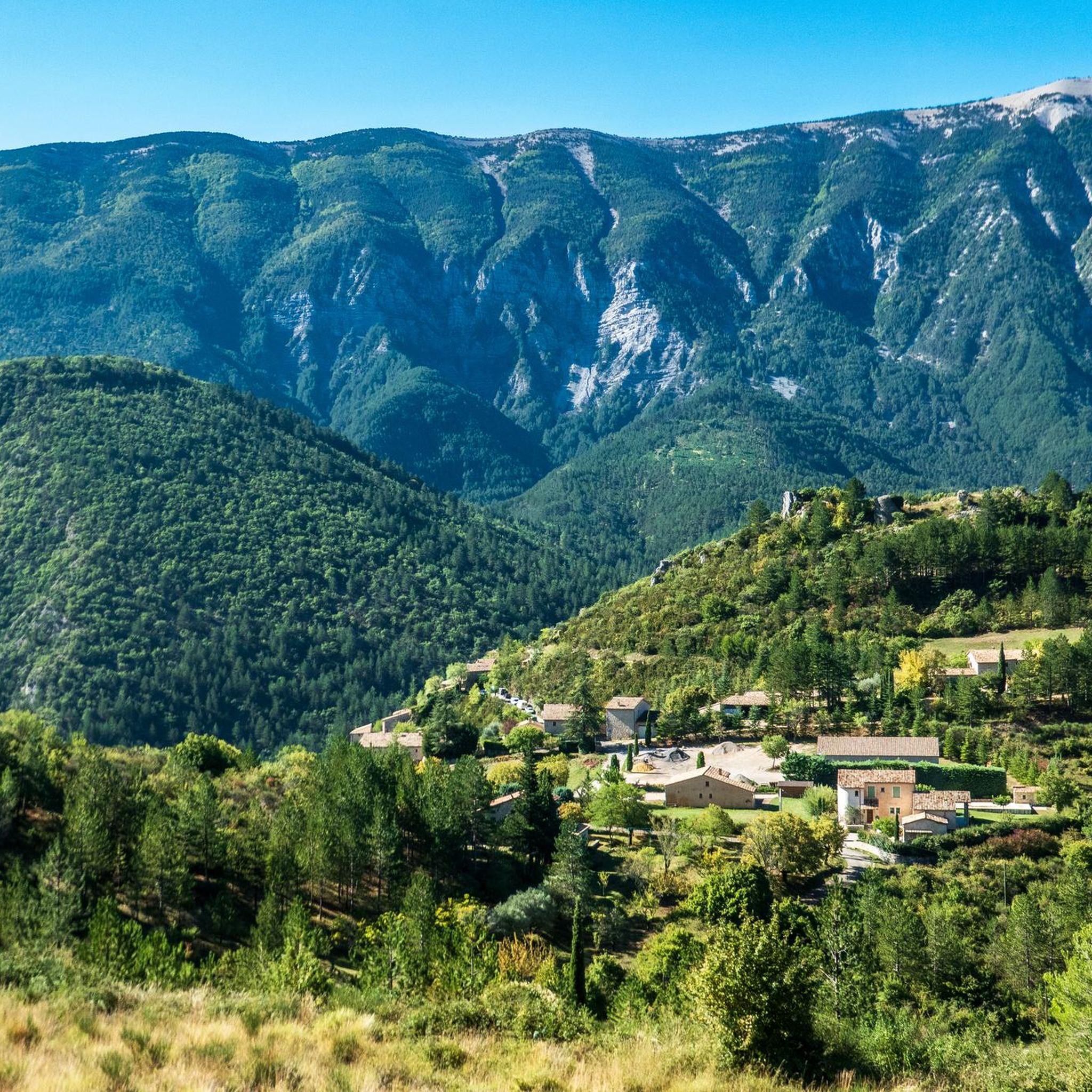
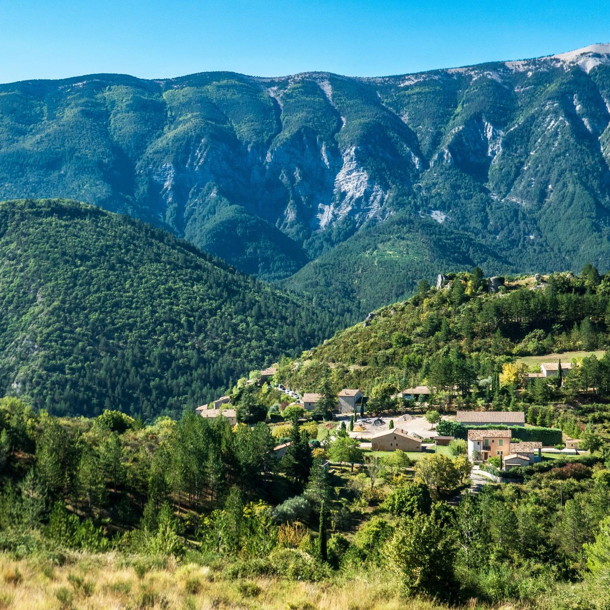
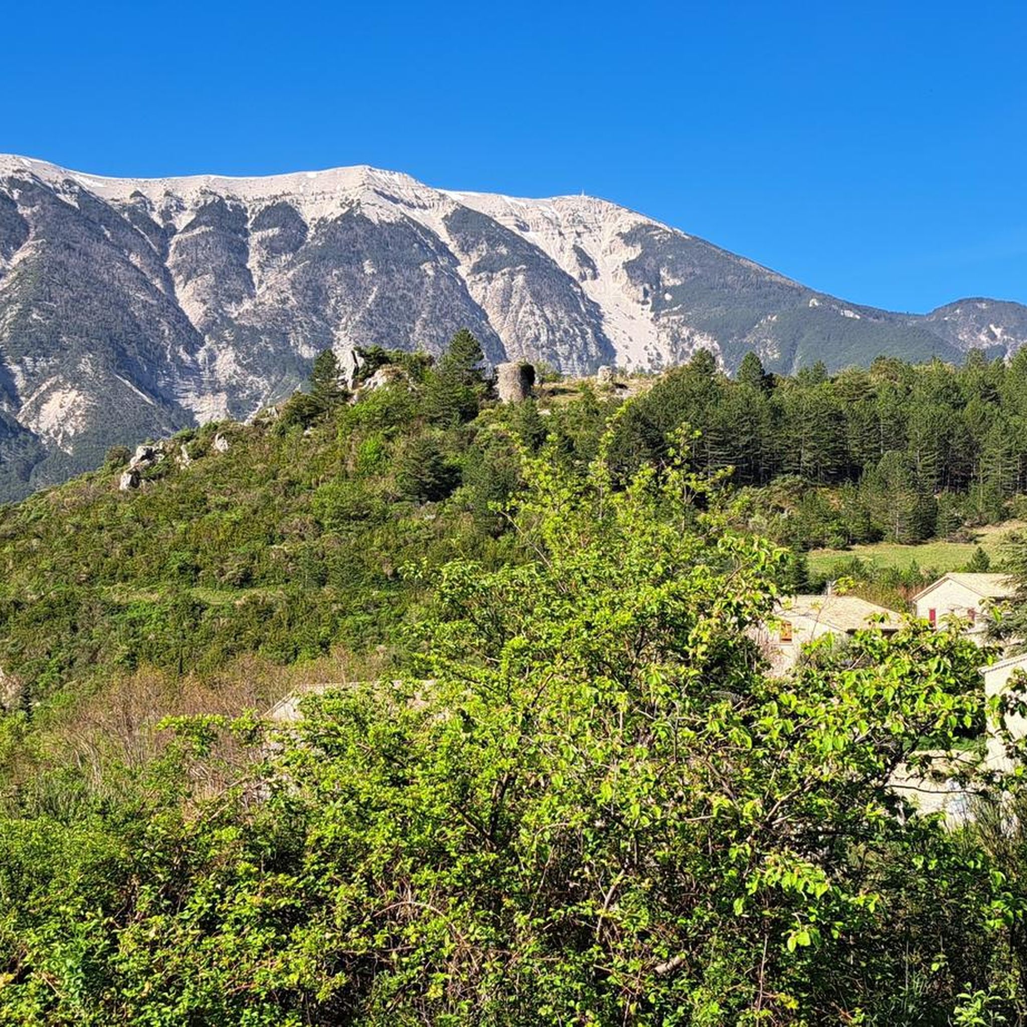
Hiking around Brantes provides access to diverse landscapes on the northern slopes of Mont Ventoux, overlooking the Toulourenc valley. The region is characterized by dramatic mountain terrain, unspoiled wilderness, and a picturesque medieval village setting. Trails often feature rocky slopes, offering panoramic views of the Ventoux ridge and the surrounding natural features.
Best hiking trails around Brantes
- The most popular hiking route is Fontaube Pass – Brantes Village loop from Brantes, an 8.1 miles (13.1 km) moderate trail that…
Last updated: July 9, 2026
4.7
(42)
447
hikers
10.9km
03:33
480m
480m
Moderate hike. Good fitness required. Easily-accessible paths. Suitable for all skill levels.
4.4
(24)
76
hikers
5.94km
01:54
260m
260m
Easy hike. Great for any fitness level. Easily-accessible paths. Suitable for all skill levels.

Sign up for free
4.5
(4)
34
hikers
3.58km
01:07
130m
130m
Easy hike. Great for any fitness level. Easily-accessible paths. Suitable for all skill levels.
4.6
(16)
39
hikers
8.24km
02:22
190m
190m
Moderate hike. Good fitness required. Easily-accessible paths. Suitable for all skill levels.
4.6
(14)
35
hikers
9.60km
02:48
250m
250m
Moderate hike. Good fitness required. Easily-accessible paths. Suitable for all skill levels.
Get access to more routes and recommendations from other explorers.
Sign up for free
Already have an account?
Our route recommendations are based on thousands of hikes, rides, and runs completed by other people on komoot.
Start today with a free account
Your next adventure awaits.
Login or Signup

Tips from the Community

Breathtaking ride through this unique moonscape.
0
0

We did the bike tour in the fall. Because of the wind on Mont Ventoux, it felt even colder than the actual temperature. So, be sure to pack warm clothes; maybe even change your clothes at the summit. It didn't get any warmer during the descent ;). We would have liked to have brought warm gloves. Overall: fantastic!
0
0

An iconic passage along the ridge, between scree and clearings. Here, you can breathe in the altitude and enjoy a first wide panorama towards the Baronnies and the Lure mountain.
0
0

What an experience!!!
0
1

I recommend a little crepe stop in this sumptuous village.
0
0

Great little place with a decent climb
0
0

Beautiful trails, I recommend it, but you need to be in good physical condition 😆🤪💪💪
0
0

Very welcome after the first climb, unfortunately only open during the season.
0
0
Frequently Asked Questions
How many hiking trails are available around Brantes?
There are over 20 hiking routes around Brantes, offering a variety of experiences on the northern slopes of Mont Ventoux and overlooking the Toulourenc valley. These trails cater to different fitness levels, from easy strolls to more challenging treks.
Are there easy hiking options suitable for beginners or families in Brantes?
Yes, Brantes offers several easy hiking options. For a pleasant and accessible walk, consider the Brantes loop from Brantes. This 3.5-mile (5.7 km) trail takes about 1 hour 50 minutes and explores the immediate surroundings of the picturesque medieval village.
What kind of terrain can I expect on hikes around Brantes?
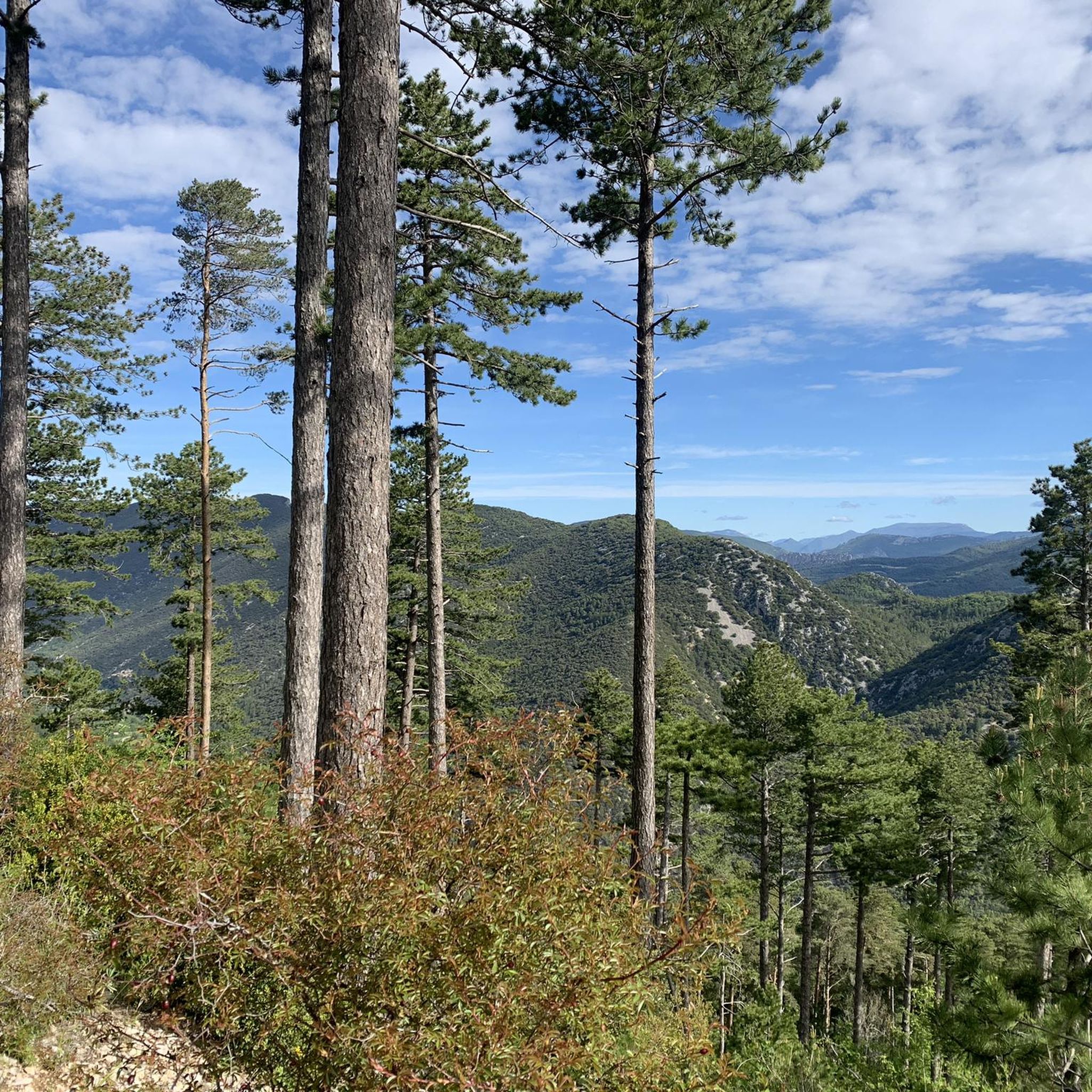
Hikes around Brantes feature diverse terrain, characteristic of the Mont Ventoux slopes and the Toulourenc valley. You can expect rocky paths, forest trails, and sections through the medieval village itself. The region's unique geography provides dramatic landscapes and varied surfaces underfoot.
Are there any circular hiking routes starting from Brantes?
Yes, many of the hiking routes around Brantes are circular, allowing you to start and end in the same location. A popular option is the Brantes – Savoillan Village loop from Brantes, a moderate 9.5-mile (15.3 km) path that offers varied scenery as it links Brantes with the nearby village of Savoillan.
Can I bring my dog on the hiking trails in Brantes?
Generally, dogs are welcome on hiking trails in the Brantes region, but it's always advisable to keep them on a leash, especially in areas with livestock or protected wildlife. Ensure you carry enough water for your dog, particularly during warmer months, as some trails can be exposed.
What are some notable natural features or landmarks to look out for while hiking?
While hiking around Brantes, you'll encounter several notable features. The village itself is a medieval gem with cobbled streets and ancient stone houses. The trails offer magnificent panoramic views of the Ventoux ridge. You might also discover the ancient 13th-century "Roman Bridge" spanning the Toulourenc River. For more specific natural attractions, consider exploring the Entrance to the Toulourenc Gorges or the Combe de Curnier.
What is the best time of year to go hiking in Brantes?
The best time to hike in Brantes is typically from spring to autumn. Spring offers lush greenery and blooming wildflowers, while autumn provides pleasant temperatures and vibrant fall colors. Summer can be warm, so early morning or late afternoon hikes are recommended. The northern slopes of Mont Ventoux can retain snow until early spring, so be prepared for cooler conditions at higher elevations during that time.
Is there parking available for hikers in Brantes?
Yes, parking is generally available in and around Brantes village, often near the main entrance or designated areas. It's usually free, but spaces can be limited during peak season. Arriving earlier in the day is recommended to secure a spot, especially for longer hikes.
Are there options for more challenging or advanced hikes in the region?
Yes, for those seeking more challenging routes, Brantes offers trails with significant elevation gain and longer distances. The region's position on the northern slopes of Mont Ventoux means there are plenty of opportunities for strenuous climbs and extended treks. While not explicitly listed as 'difficult' in the top routes, the longer loops like the Fontaube Pass – Brantes Village loop from Brantes (8.1 miles / 13.1 km with over 400m elevation gain) provide a good workout.
Can I find places to eat or drink near the hiking trails in Brantes?
Brantes is a small, picturesque village, and while it may have limited options, you can typically find a local establishment for refreshments or a meal. It's always a good idea to check opening hours in advance, especially outside of peak tourist season. For more extensive choices, nearby villages might offer additional cafes and restaurants.
Are there any opportunities for wild swimming near the hiking routes?
Yes, the Toulourenc valley, which Brantes overlooks, is celebrated for its unspoiled wilderness and offers opportunities for wild swimming. The Gorges du Toulourenc, in particular, are a natural attraction suitable for swimming and relaxation, providing a refreshing break during or after a hike.
What do other hikers enjoy the most about hiking in Brantes?
The hiking experience in Brantes is highly rated by the komoot community, with an average score of 4.4 stars from over 1500 reviews. Hikers often praise the stunning panoramic views of the Ventoux ridge, the peaceful and unspoiled nature of the Toulourenc valley, and the charm of the medieval village itself. The diverse terrain and well-maintained paths also receive positive feedback.
Most popular routes around Brantes
Most popular attractions around Brantes

Get inspired with the komoot mobile app


Explore more
Browse the best Hikes in other regions.
