The best running trails around Saint-Éloi
4.0
(114)
3,110
runners
297
runs
Jogging around Saint-Éloi provides access to varied landscapes, including riverside paths near the Loire, forested areas, and elevated viewpoints. The region features a mix of gentle inclines and more challenging routes, with altitudes ranging from river valleys to higher ground. Natural features like ponds and woods are common along many running routes.
Best jogging routes around Saint-Éloi
- The most popular jogging route is Étang Vivier loop from Rignieux-le-Franc, a 6.0 miles (9.6 km) trail that takes 1 hour 2…
Last updated: July 1, 2026
32
runners
9.64km
01:03
110m
110m
Moderate run. Good fitness required. Mostly paved surfaces. Suitable for all skill levels.
4.0
(1)
17
runners
6.55km
00:44
120m
120m
Moderate run. Good fitness required. Mostly paved surfaces. Suitable for all skill levels.

Sign up for free
3.0
(1)
20
runners
5.70km
00:40
100m
100m
Moderate run. Good fitness required. Mostly paved surfaces. Suitable for all skill levels.
18
runners
10.1km
01:04
100m
100m
Moderate run. Good fitness required. Mostly paved surfaces. Suitable for all skill levels.
33
runners
11.1km
01:19
270m
270m
Moderate run. Good fitness required. Mostly paved surfaces. Suitable for all skill levels.
Get access to more routes and recommendations from other explorers.
Sign up for free
Already have an account?
Our route recommendations are based on thousands of hikes, rides, and runs completed by other people on komoot.
Start today with a free account
Your next adventure awaits.
Login or Signup

Tips from the Community

Very beautiful medieval city. The village of my childhood. Absolutely taste the pancakes! 😉🍰
0
0

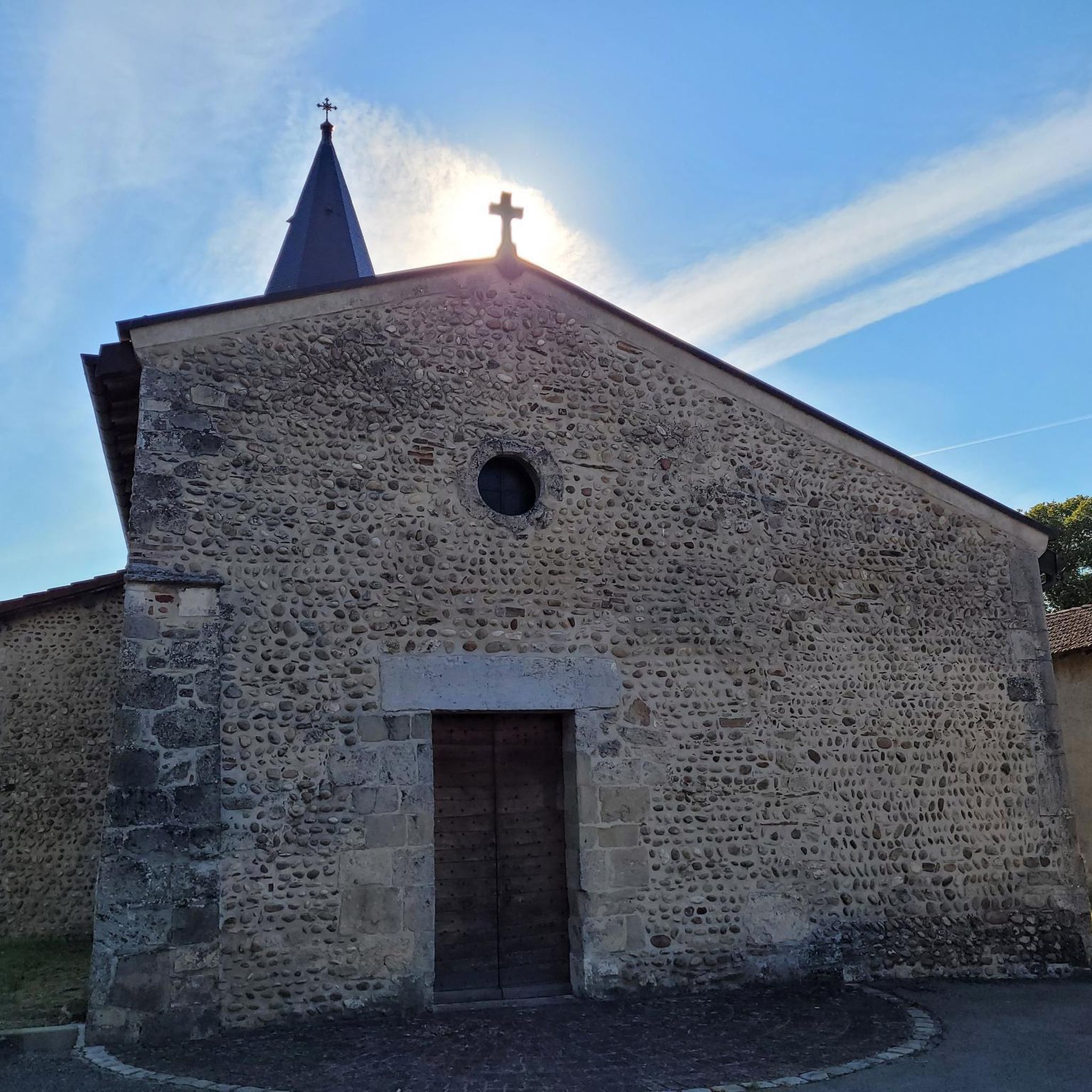
The medieval city of Pérouges is a true jewel of the past. Located to the east of Lyon, it transports us to a distant era, where cobbled streets and houses made of pebbles and bricks tell stories of yesteryear. With its 80 inhabitants living within its walls and 1,200 residents in the commune, Pérouges is an inhabited village which freely welcomes visitors all year round.
0
0

Ranked among the most beautiful villages in France, Pérouges offers you a trip to the Middle Ages. The tourist activities between April and August will allow you to see the city from another angle. Between history and terroir, this city of character 30 kilometers from Lyon will not leave you insensitive with its medieval and authentic charm. Before leaving, don't forget to taste the local speciality: the Peruvian pancake, the unmissable sugar pie.
2
0

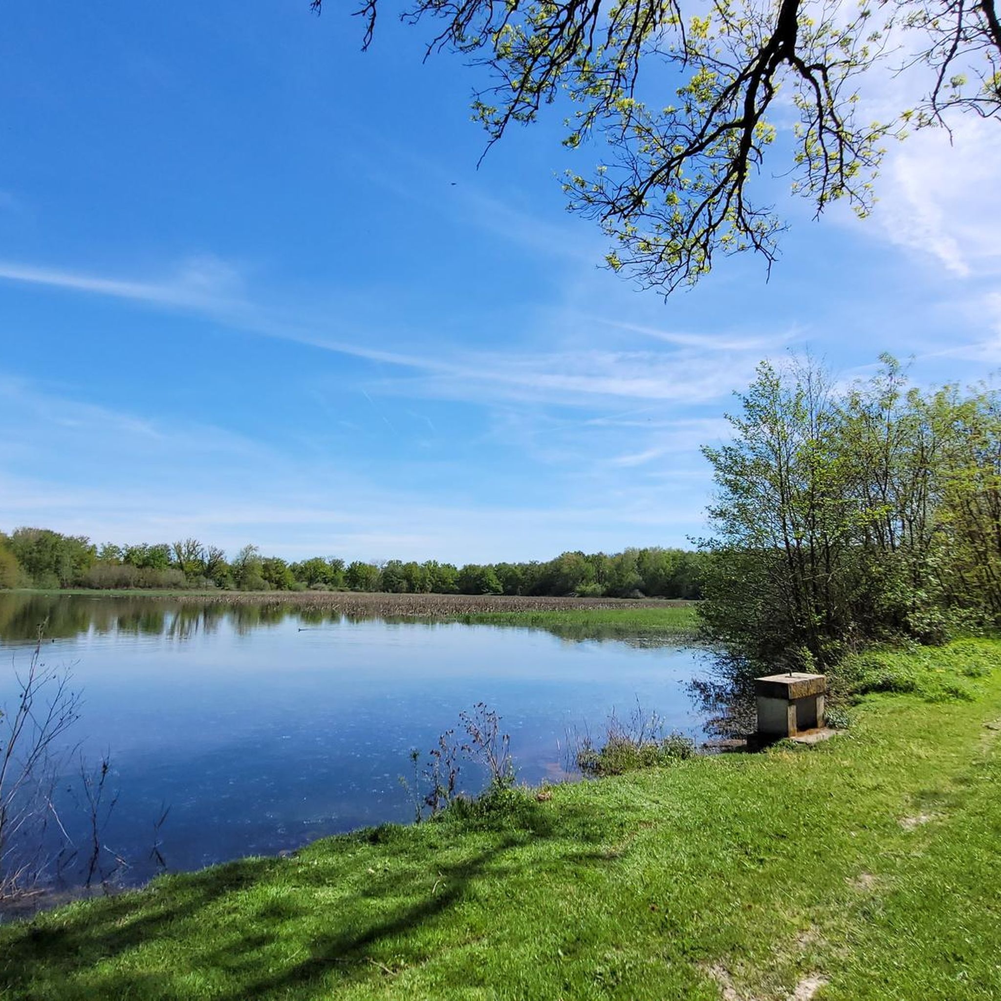
A few hundred meters from the village of Pérouges, let yourself descend to the hawthorn pond. It is a landscaped and well maintained place that is very pleasant and relaxing.
0
0
Aubepin Lake is a water reserve created artificially in 2005 by the municipality of Meximieux. This one-hectare body of water was built on an old canal which feeds the Moulin Favre, whose wheel you can see still in action at the end of the body of water. This green place will be ideal for a stroll and the signs that line its outline will allow you to learn a little more about the surrounding fauna and flora.
1
0
Ranked among the most beautiful villages in France, Pérouges offers you a trip to the Middle Ages. The tourist activities between April and August will allow you to see the city from another angle. Between history and terroir, this city of character 30 kilometers from Lyon will not leave you insensitive with its medieval and authentic charm. Do not forget before leaving to taste the local speciality: the Peruvian pancake, the unmissable sugar pie.
2
0

The village of Pérouges, a very well preserved medieval site. There are good restaurants and points of sale to buy the galette de Pérouges.
0
0
Frequently Asked Questions
How many running routes are available in Saint-Éloi?
Saint-Éloi offers a wide variety of running experiences, with over 280 jogging routes recorded on komoot. These routes cater to all levels, from easy strolls to more challenging runs, ensuring there's something for every runner.
Are there easy running routes for beginners in Saint-Éloi?
Yes, Saint-Éloi provides 28 easy running routes perfect for beginners or those looking for a relaxed jog. Many of these routes feature gentle inclines and often follow paved surfaces, especially near the Loire River in the Saint-Éloi region near Nevers. For example, the Aubépin Pond – The Longevent crossing loop from Pérouges is a moderate 5.7 km route that offers a pleasant experience.
What kind of terrain can I expect on jogging trails around Saint-Éloi?
The terrain around Saint-Éloi is quite varied depending on the specific location. You can find riverside paths, particularly near the Loire River in the Saint-Éloi region near Nevers, as well as forested sections and elevated viewpoints. Mont-Saint-Éloi, for instance, is known for its steep paths and panoramic views over the Scarpe Valley, while the Creuse area offers a picturesque countryside with rivers and forests. Many routes, like the Étang Vivier loop from Rignieux-le-Franc, circle scenic ponds, providing a mix of flat and gently undulating surfaces.
Are there any scenic running routes with good views in Saint-Éloi?
Absolutely! Mont-Saint-Éloi (Pas-de-Calais) is particularly renowned for its panoramic views over the Scarpe Valley and the Artois plain from its 136-meter elevation. The "Sentier des Pierres du Diable" trail offers superb vistas. Near Nevers, the historic Pont de Loire provides picturesque views of the river. Many routes also pass by natural features like the Aubépin Pond or the unique landscapes of the Dunes et Marais de Saint-Eloi coastal site.
Can I find circular jogging routes in Saint-Éloi?
Yes, many of the running routes in Saint-Éloi are circular, offering convenient starting and ending points. Popular examples include the Étang Vivier loop from Rignieux-le-Franc (9.6 km) and the Étang de Résilleux loop from Rignieux-le-Franc (10.1 km), both of which circle scenic ponds. The Étang Vivier loop from Meximieux is another excellent circular option.
Are the running trails in Saint-Éloi suitable for families?
Many routes in Saint-Éloi are suitable for families, especially the easier, shorter loops around ponds or on paved surfaces. These trails often provide a safe and enjoyable environment for all ages. The region's diverse landscapes, from tranquil pond areas to picturesque countryside, offer engaging scenery for family outings.
Are there dog-friendly jogging paths in Saint-Éloi?
While specific regulations for dogs vary by location and protected areas, many natural trails and paths in Saint-Éloi are generally dog-friendly, especially if your dog is on a leash. The extensive network of routes through forests, along rivers, and around ponds provides ample space for you and your canine companion to enjoy a run together. Always check local signage for any restrictions.
What are some interesting places to see or landmarks near the jogging routes?
Saint-Éloi offers several points of interest. Near Mont-Saint-Éloi, you can see the two ruined towers of its abbey, a prominent historical landmark. In the Saint-Éloi region near Nevers, the nearby ancient city of Nevers boasts the Ducal Palace and Saint-Cyr-et-Sainte-Julitte cathedral. Other attractions include the Medieval town of Pérouges, the Abbey of Notre-Dame des Dombes, and various scenic lakes like Aubépin Pond and The ponds of the Dombes.
How can I access the running trails in Saint-Éloi by public transport or car?
Access to running trails in Saint-Éloi varies by location. For those near Nevers, the "La Loire à Vélo" route offers extensive paths that can be reached by car, with parking often available in nearby towns. Mont-Saint-Éloi is a hilltop village accessible by road, and many trails start directly from the village. While specific public transport details for trailheads are not universally available, major towns in the regions (like Nevers or Arras near Mont-Saint-Éloi) typically have public transport links, from which you might need to connect to smaller local services or drive to the starting points.
What is the best time of year to go jogging in Saint-Éloi?
The best time for jogging in Saint-Éloi largely depends on your preference for weather and scenery. Spring and autumn generally offer pleasant temperatures and beautiful landscapes, with blooming flowers or vibrant fall foliage. Summer can be ideal for early morning or late evening runs to avoid the heat, especially along shaded forest paths or riverside routes. Winter jogging is also possible, particularly on well-maintained paths, though some trails might be muddy or require appropriate gear.
Are there longer, more challenging running trails for experienced runners?
Yes, Saint-Éloi offers 34 difficult running routes for experienced runners seeking a challenge. The Mont-Saint-Éloi area, with its steep paths and varied terrain, is particularly suitable for more demanding runs. Longer trails like the "Sentier des 3 Abbayes" (16 km) in Mont-Saint-Éloi, or the "Boucle Tour Goguin – Palais ducal de Nevers" (28.9 km) near Nevers, provide extended distances and varied elevation for those looking to push their limits.
What do other runners say about the trails in Saint-Éloi?
The running routes in Saint-Éloi are highly rated by the komoot community, with an average score of 4.1 stars from over 90 reviews. More than 3000 runners have used komoot to explore the varied terrain. Reviewers often praise the tranquil pond loops, the scenic views, and the diverse landscapes that make each run unique and enjoyable.
Are there any running routes that pass by water features like ponds or rivers?
Yes, many running routes in Saint-Éloi feature beautiful water elements. The Saint-Éloi region near Nevers is situated close to the Loire River, offering picturesque riverside paths. Additionally, several popular routes are designed as loops around scenic ponds, such as the Étang Vivier loop from Rignieux-le-Franc and the Étang de Résilleux loop from Rignieux-le-Franc. The "Dunes et Marais de Saint-Eloi" also offers unique marshland landscapes.
Most popular routes around Saint-Éloi
Most popular attractions around Saint-Éloi

Get inspired with the komoot mobile app


Explore more
Browse the best Running Trails & Routes in other regions.
