The best walks and hikes around Champrougier
4.5
(50)
169
hikers
36
hikes
Hiking around Champrougier offers access to the diverse landscapes of the Jura Mountains, characterized by vast forests, limestone plateaus, and numerous rivers. The region features varied terrain, from gentle loops around ponds to trails with moderate elevation changes. These physical features provide a rich environment for outdoor activities.
Best hiking trails around Champrougier
- The most popular hiking route is Étang Neuf – Watercress Pond loop from Les Deux-Fays, a 4.4 miles (7.1 km) trail that takes 1 hour 50…
Last updated: July 6, 2026
4.4
(19)
47
hikers
7.10km
01:50
40m
40m
Easy hike. Great for any fitness level. Easily-accessible paths. Suitable for all skill levels.
3.8
(5)
13
hikers
4.52km
01:10
20m
20m
Easy hike. Great for any fitness level. Easily-accessible paths. Suitable for all skill levels.

Sign up for free
5.0
(1)
9
hikers
12.7km
03:16
60m
60m
Moderate hike. Good fitness required. Easily-accessible paths. Suitable for all skill levels.
5.0
(1)
6
hikers
3.91km
01:02
30m
30m
Easy hike. Great for any fitness level. Easily-accessible paths. Suitable for all skill levels.
5.0
(1)
7
hikers
10.8km
02:48
50m
50m
Moderate hike. Good fitness required. Easily-accessible paths. Suitable for all skill levels.
Get access to more routes and recommendations from other explorers.
Sign up for free
Already have an account?
Our route recommendations are based on thousands of hikes, rides, and runs completed by other people on komoot.
Start today with a free account
Your next adventure awaits.
Login or Signup
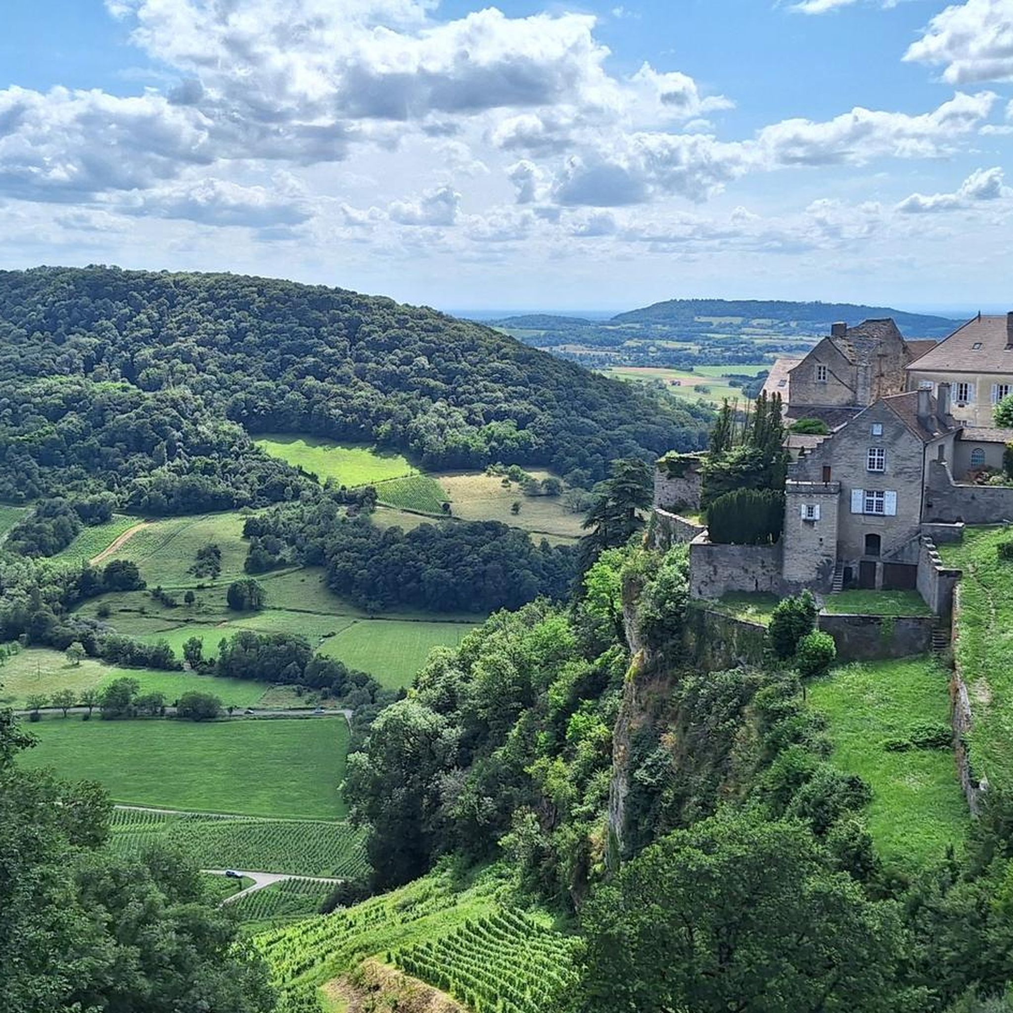
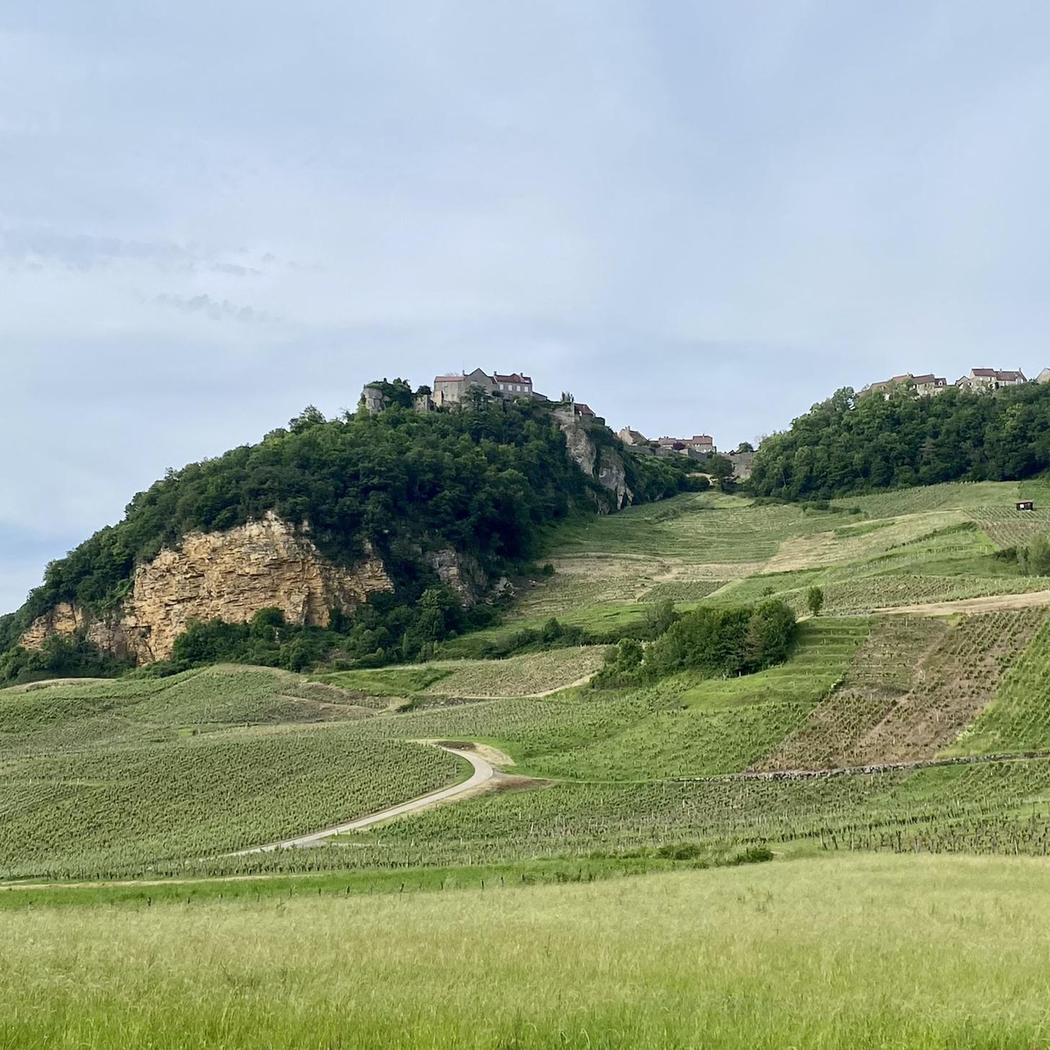

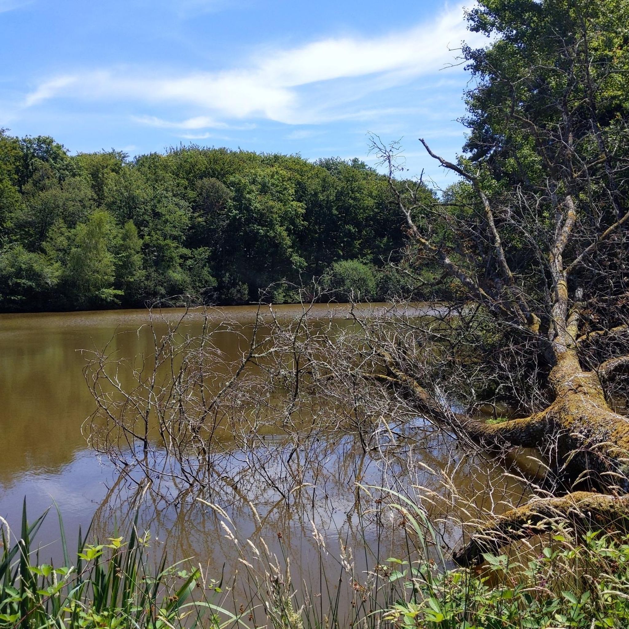
Tips from the Community

Maison des Étangs, before it was a railway station. The house of ponds is the starting point for several hiking trails in the Bresse-Revermont Community of Communes. This place has become a gîte that can accommodate 36 people. More info here: http://www.bresse-revermont.com/decouvert/la-maison-des-etangs.html
0
0

Frequently Asked Questions
How many hiking trails are available around Champrougier?
There are over 35 hiking trails in the Champrougier area, offering a wide range of options for exploring the diverse landscapes of the Jura Mountains.
What are the difficulty levels of the hikes in Champrougier?
The trails around Champrougier cater to various abilities. You'll find a good mix of easy and moderate routes, with 18 easy trails and 19 moderate trails. There are no difficult routes listed, making the area accessible for most hikers.
Are there easy hikes suitable for families or beginners?
Yes, Champrougier offers several easy hikes perfect for families or beginners. For example, the Tour of Mont Roland loop from Monay is an easy 3.0-mile (4.9 km) path, and the Jacquot Trail loop from Les Deux-Fays is another easy option at 2.4 miles (3.9 km).
Are there any circular hiking routes in the area?
Many trails around Champrougier are designed as circular routes. A popular moderate option is the Tour of Mont Roland loop from Sellières, which covers 5.0 miles (8.1 km). For an easier circular walk, consider the Watercress Pond – Étang Neuf loop from Les Deux-Fays.
What kind of natural features or viewpoints can I expect on the trails?
The Jura Mountains surrounding Champrougier are known for their varied natural beauty. You can expect vast forests of fir, beech, and oak, limestone plateaus, and numerous rivers. Notable viewpoints in the broader region include the Pic de l'Aigle and the Belvedere of the 4 Lakes, offering splendid panoramas.
Are there any waterfalls or significant water features to see?
While Champrougier itself features natural ponds like those on the Étang Neuf – Watercress Pond loop from Les Deux-Fays, the wider Jura Mountains region is famous for impressive waterfalls. The Hérisson Waterfalls, with its 31 successive drops, and the Glandieu Waterfall are significant natural attractions worth exploring nearby.
What do other hikers say about the trails in Champrougier?
The trails in Champrougier are highly rated by the komoot community, with an average score of 4.4 stars from over 40 reviews. Hikers often praise the quiet woodlands, the varied terrain, and the opportunity to explore the natural ponds and water features of the area.
What other attractions or points of interest are near Champrougier?
Beyond hiking, you can explore several points of interest. The Maison des Étangs offers insights into the local environment. For cycling enthusiasts, the Voie de la Bresse Jurassienne at Gatey and the Revermont Vineyard Route are popular. The region also features the Grand Colombier massif and the summit of Mont d'Or, both offering panoramic views.
When is the best time of year to hike in Champrougier?
The Jura Mountains, including the Champrougier area, are enjoyable for hiking through much of the year. Spring and autumn offer pleasant temperatures and vibrant scenery. Summer is also popular, especially around the lakes for refreshing breaks. In winter, some areas transform into opportunities for cross-country skiing and snowshoeing.
Are there opportunities for activities other than hiking in the region?
Absolutely. The Jura Mountains region is a paradise for outdoor enthusiasts. Besides hiking, you can enjoy cycling on routes like EuroVelo 6, climbing sports such as via ferrata, canyoning, and canoeing in the Loue Valley. When conditions allow, winter sports like cross-country skiing and snowshoeing are also popular.
Is public transport available to reach hiking trailheads in Champrougier?
Information on specific public transport links directly to trailheads in Champrougier is limited. It is generally recommended to check local transport schedules or consider driving, as many trailheads in rural Jura areas are more easily accessible by car.
Where can I find parking for hiking trails in Champrougier?
Parking availability varies by trailhead. For routes starting from villages like Les Deux-Fays or Sellières, you can often find parking in or near the village centers. It's advisable to check local signage upon arrival or consult detailed route descriptions on komoot for specific parking recommendations.
Most popular attractions around Champrougier

Get inspired with the komoot mobile app


Explore more
Browse the best Hikes in other regions.
