The best walks and hikes around Sandillon
4.6
(571)
4,254
hikers
293
hikes
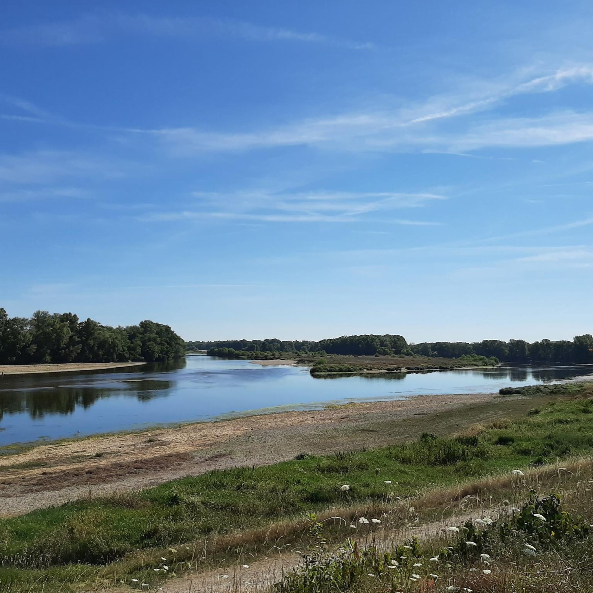
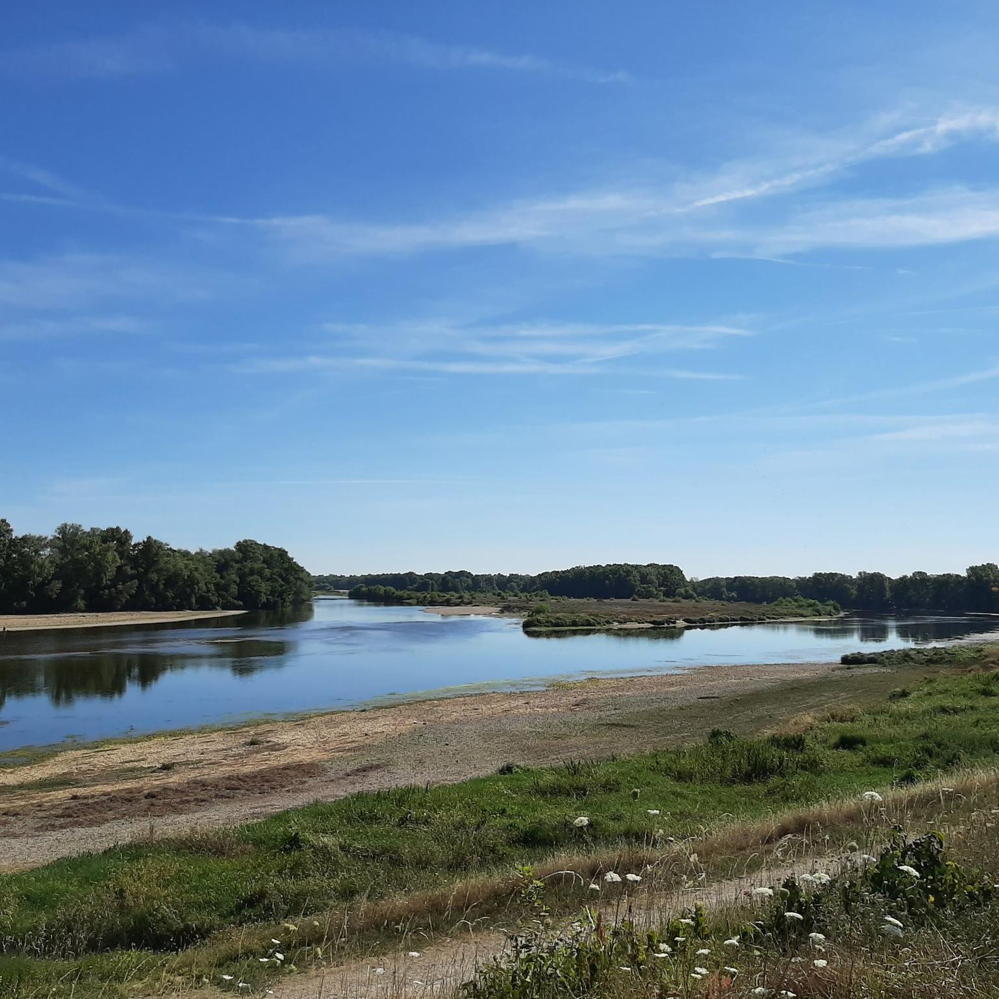
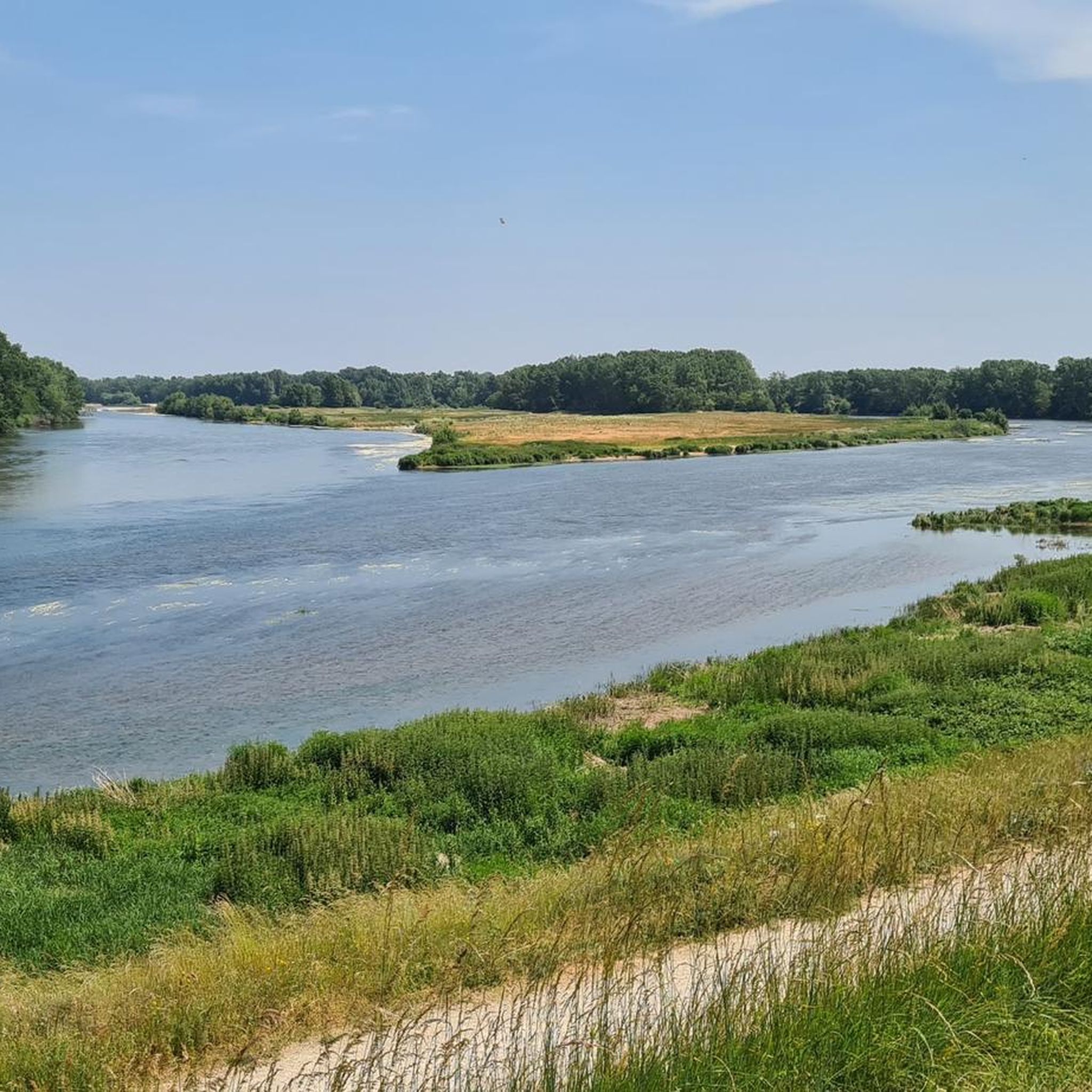
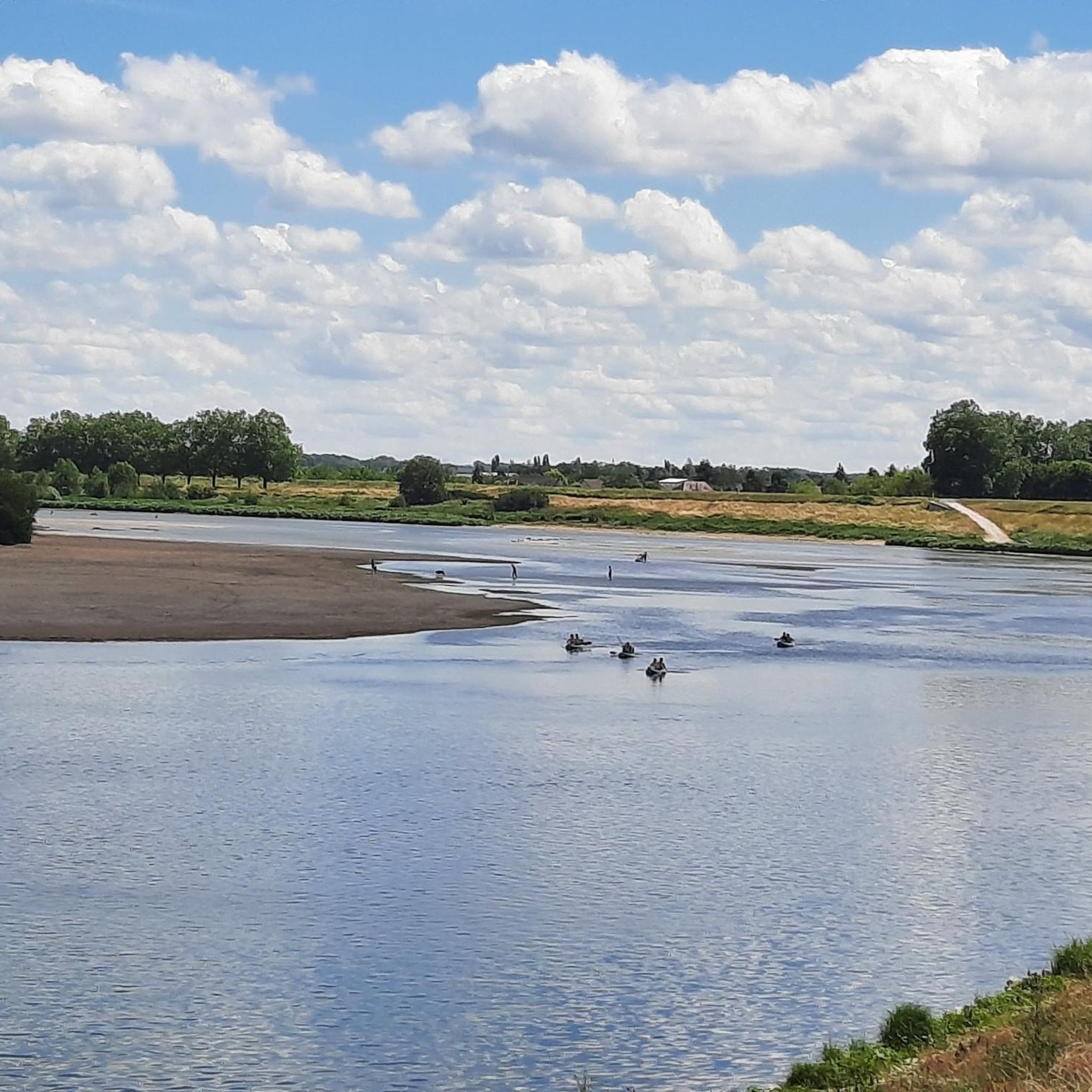
Hiking around Sandillon offers diverse natural landscapes, primarily defined by its location along a large meander of the Loire River. This area is part of the Natura 2000 network, highlighting its ecological significance with various zones for flora and fauna. The region features riverbanks, canals, and sensitive natural areas, providing varied terrain for exploration. Water features like the Marmagne and Dhuy rivers, along with the ancient Étang d'Allou, further enhance the natural beauty.
Best hiking trails around Sandillon
- The most…
Last updated: July 4, 2026
4.5
(4)
21
hikers
6.86km
01:44
10m
20m
Easy hike. Great for any fitness level. Easily-accessible paths. Suitable for all skill levels.
4.3
(7)
63
hikers
8.93km
02:16
20m
20m
Moderate hike. Good fitness required. Easily-accessible paths. Suitable for all skill levels.

Sign up for free
3.9
(7)
28
hikers
27.5km
06:59
70m
70m
Hard hike. Very good fitness required. Easily-accessible paths. Suitable for all skill levels.
3.5
(2)
16
hikers
6.58km
01:40
20m
20m
Easy hike. Great for any fitness level. Easily-accessible paths. Suitable for all skill levels.
4.0
(4)
16
hikers
4.48km
01:09
10m
10m
Easy hike. Great for any fitness level. Easily-accessible paths. Suitable for all skill levels.
Get access to more routes and recommendations from other explorers.
Sign up for free
Already have an account?
Our route recommendations are based on thousands of hikes, rides, and runs completed by other people on komoot.
Start today with a free account
Your next adventure awaits.
Login or Signup

Tips from the Community

Note, in Chécy, by the canal, there is a shelter and a Bike station with basic tools and a pump. Very practical.
0
0
At the moment, with summer weather, leaving Combleux and heading up towards Montargis, early in the morning, offers beautiful views of the rising sun...
0
0
Between the Loire and the forest, the commune of Mardié is part of the Métropole Orléans Val de Loire, forming its eastern entrance, 12 km from the center of Orléans. With a long history largely marked by viticulture, part of its territory belongs to the Loire Valley section classified as a UNESCO World Heritage site. Quite vast, the commune has an area of 17.3 km² and stretches for about 12 km from Northwest to Southeast with a width of only 4 to 5 km. The relief is marked only by the slopes that delimit the valleys of the Loire and the river Cens, doubled by the Canal d'Orléans. The altitude is between 100 and 120 m. The landscapes are varied and have a lot of character. "Natural" landscapes with the banks of the Loire, the canal and the Cens valley, vast cultivated areas and very extensive woods. Inhabited landscapes with the town center, clustered around a beautiful Romanesque church, a lively district in Pont-aux-Moines with its small shops, very green and airy residential areas, some important hamlets that have retained traditional rural housing mixed with more recent constructions. The commune benefits from the main services and shops, and is well served by public transport to Orléans. Despite demographic growth, which remains controlled (just under 3000 inhabitants), it has retained a fairly marked rural character and remains, in many respects, a village where life is good.
0
0

Very beautiful place along the canal, the smells of spring and the birds, superb!
0
0
Near this Bridge: *Why the km 96 marker in Orléans?* (Quai du Châtelet) The km 96 marker in Orléans *corresponds neither to the distance from the source nor from the mouth of the river. It is part of a **local marking system* related to river navigation and 19th-century cartography. These markers were used to: - *Measure navigable sections* between two ports or cities (e.g., Orléans-Blois, Orléans-Tours). - *Calculate transport tariffs* for goods, as was done by "water coach plates" (the fluvial equivalent of road markers for stagecoaches).
0
0
The Orléans canal at sunrise, and the mist lifting... Magnificent! And peaceful.
0
0

Nice little place to have a coffee. However, it's €3 for a coffee...
0
0

A very beautiful walk to take on the Orléans Canal.
0
0
Frequently Asked Questions
How many hiking trails are there around Sandillon?
Sandillon offers a wide variety of hiking experiences, with over 280 routes available. These range from easy strolls to more challenging full-day treks, ensuring there's something for every preference and fitness level.
What kind of landscapes can I expect to see on hikes in Sandillon?
The hiking trails around Sandillon are characterized by diverse natural landscapes, primarily defined by the wide meanders of the Loire River and numerous canals, including the Canal d'Orléans. You'll find scenic riverside paths, tranquil towpaths, and routes through sensitive natural areas like the Île aux Oiseaux. The region also features smaller rivers like the Marmagne and Dhuy, ancient ponds such as the Étang d'Allou, and wooded sections, offering a rich variety of scenery.
Are there any easy, family-friendly hikes in Sandillon?
Yes, Sandillon has many easy routes suitable for families. For a pleasant and gentle walk, consider the Canal of Orléans – Combleux Port loop from Combleux, which is about 3.3 km long and meanders through canal-side landscapes. Another great option is the Parc et Ruisseau de Morchêne at Saint-Cyr-en-Val, which offers a pleasant, tree-lined environment starting from a park with recreational facilities.
What are some longer hiking options for experienced hikers?
For those seeking a more challenging and longer adventure, the Orleans – Canal d'Orléans loop from Chécy is a difficult route spanning nearly 28 km. This trail provides an extensive exploration of the area's riverine and canal environments, perfect for a full day out.
Are there any circular hiking routes in the Sandillon area?
Yes, many of the trails around Sandillon are circular, allowing you to start and end at the same point. A popular moderate circular route is the Combleux – Canal d'Orléans loop from Chécy, which is about 9.3 km long and winds along the historic Canal d'Orléans. Another option is the View of the Loire – Latingy Castle loop from Bou, a moderate 12.8 km route offering diverse scenery.
What interesting landmarks or attractions can I see while hiking?
Sandillon's trails often pass by significant points of interest. You can explore the natural reserve created from old gravel pits along the Parcours du Bois de l'Île, which also leads past the ruins of Isle Castle. The region's waterways are also highlights, such as the Canal d'Orléans in Combleux. For a blend of history and outdoor activity, consider the walking tour "L'histoire perdue de Sandillon" which uses a smartphone app to guide you through the town's past.
What do other hikers enjoy most about the trails in Sandillon?
The hiking experiences in Sandillon are highly rated by the komoot community, with an average score of 4.6 stars from over 480 reviews. Hikers frequently praise the tranquil riverine landscapes, the well-maintained canal paths, and the diverse natural areas that make each route unique. The accessibility of trails for various skill levels is also a common positive remark.
Is Sandillon a dog-friendly hiking destination?
Many trails in the Sandillon area are suitable for hiking with dogs, especially those along the riverbanks and canal towpaths where open spaces are common. However, it's always recommended to keep your dog on a leash, especially in sensitive natural areas like the Natura 2000 sites, to protect local wildlife and ensure a pleasant experience for everyone.
Are there any specific natural reserves or unique ecological sites to explore?
Yes, Sandillon is part of the Natura 2000 network, highlighting its ecological significance. You can explore sensitive natural areas such as the Île aux Oiseaux (Bird Island) and former gravel pits that have been reclaimed by nature, creating rich reserves for diverse flora and fauna. The Courpain Nature Reserve is another excellent example of the region's commitment to preserving its natural beauty.
What is the best time of year to go hiking in Sandillon?
The Sandillon area offers enjoyable hiking throughout much of the year. Spring and autumn provide pleasant temperatures and beautiful scenery, with blooming flora or vibrant fall colors. Summer is also popular, especially for riverside and canal walks where the shade of trees can offer respite. Even in winter, many trails remain accessible, offering a peaceful experience with crisp air and unique views of the frosted landscapes.
Are there options for public transport to reach hiking trailheads?
While Sandillon is well-connected by road, public transport options to specific trailheads might vary. It's advisable to check local bus schedules or regional transport services for routes connecting to Sandillon and nearby villages like Combleux or Chécy, which are starting points for several popular hikes. For detailed information, consulting local tourism resources or transport websites is recommended.
Where can I find parking for hiking trails in Sandillon?
Many popular trailheads in and around Sandillon, especially in villages like Bou, Combleux, and Chécy, offer designated parking areas. For example, starting points for routes along the Canal d'Orléans or near the Loire River often have convenient parking facilities. It's always a good idea to check the specific route details on komoot or local signage for the most accurate parking information.
Most popular routes around Sandillon
Most popular attractions around Sandillon

Get inspired with the komoot mobile app


Explore more
Browse the best Hikes in other regions.
