The best running trails around Saint-Pryvé-Saint-Mesmin
4.5
(72)
4,134
runners
16
runs
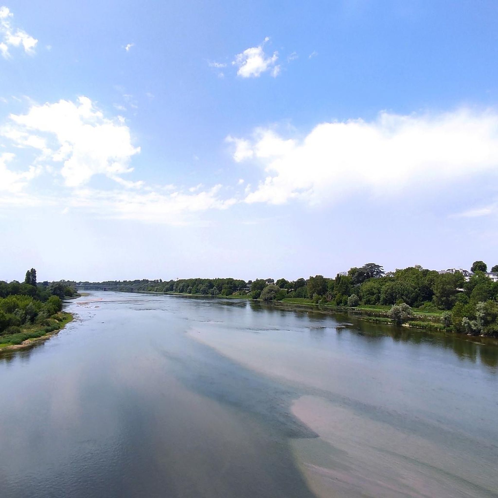
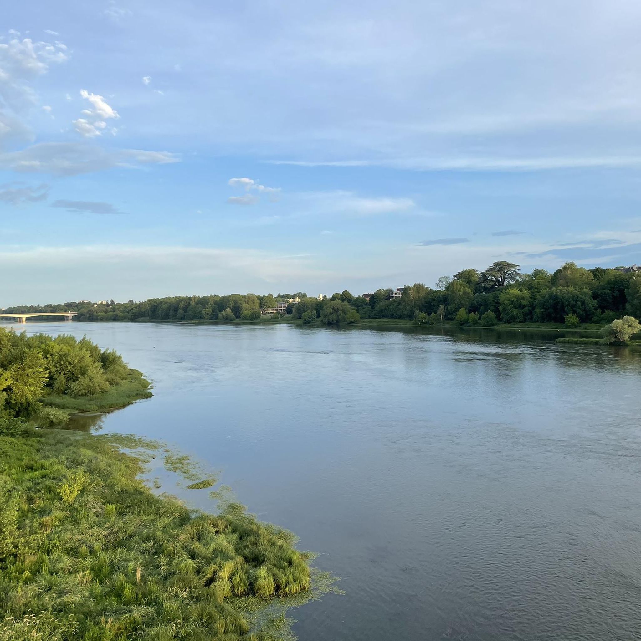
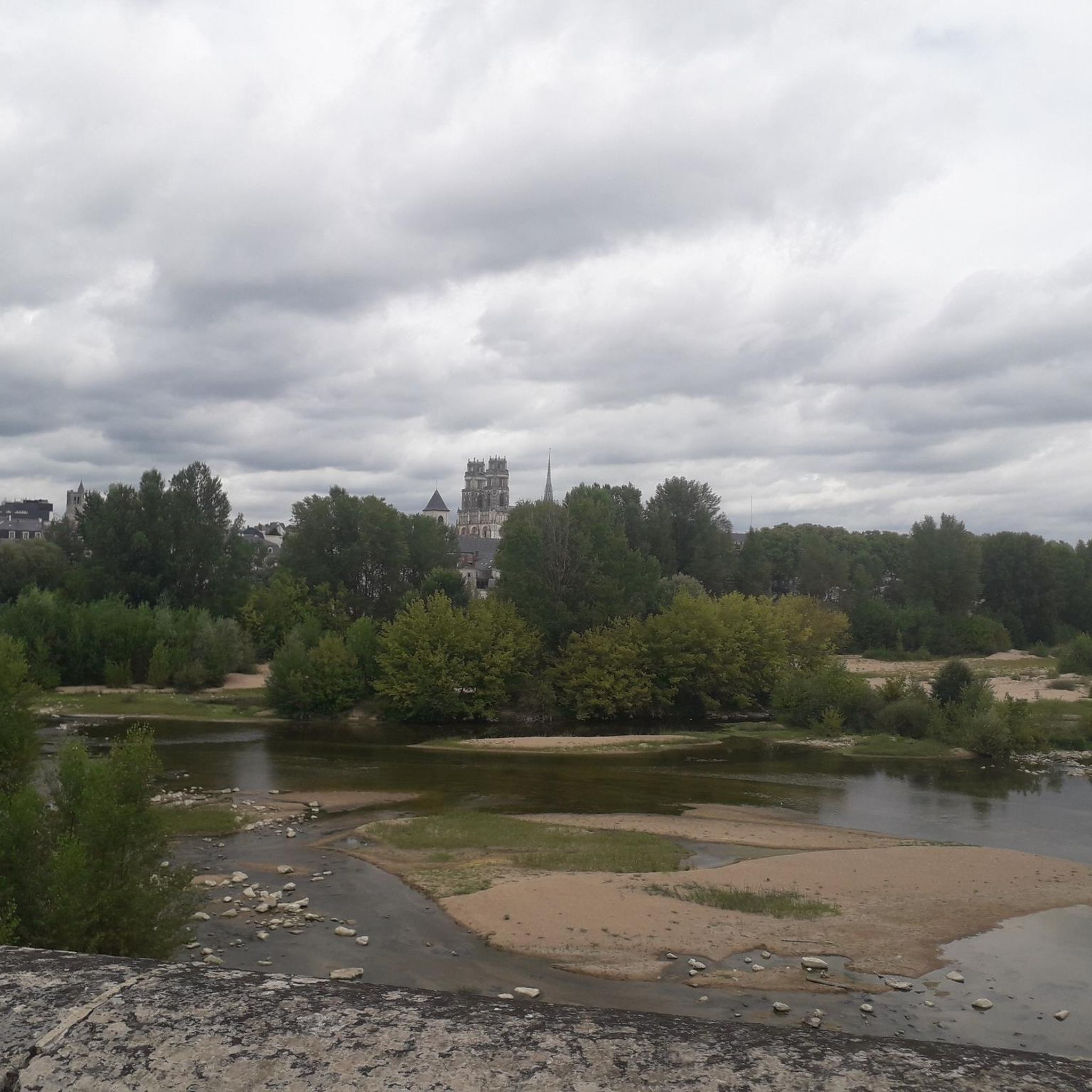
Jogging routes around Saint-Pryvé-Saint-Mesmin are primarily shaped by its location on the left bank of the Loire River, where the Loiret River converges at the Pointe de Courpain. The terrain is generally flat, characterized by riverbanks, alluvial forests, and islands within the National Natural Reserve of Saint-Mesmin. This area offers a mix of natural landscapes and dedicated paths suitable for running.
Best jogging routes around Saint-Pryvé-Saint-Mesmin
- The most popular jogging route is Europe Bridge – Europe Bridge loop from Saint-Jean-de-la-Ruelle…
Last updated: July 12, 2026
24
runners
Moderate run. Good fitness required. Mostly paved surfaces. Suitable for all skill levels.
23
runners
5.02km
00:31
10m
10m
Moderate run. Good fitness required. Mostly paved surfaces. Suitable for all skill levels.

Sign up for free
8
runners
14.2km
01:28
50m
50m
Moderate run. Good fitness required. Mostly paved surfaces. Suitable for all skill levels.
14
runners
3.76km
00:23
10m
10m
Easy run. Great for any fitness level. Mostly paved surfaces. Suitable for all skill levels.
5.0
(1)
8
runners
4.97km
00:33
10m
10m
Easy run. Great for any fitness level. Mostly paved surfaces. Suitable for all skill levels.
Get access to more routes and recommendations from other explorers.
Sign up for free
Already have an account?
Our route recommendations are based on thousands of hikes, rides, and runs completed by other people on komoot.
Start today with a free account
Your next adventure awaits.
Login or Signup

Tips from the Community

The main starting point for my hikes, nearby: Orléans Pont de l'Europe - Parking nearby, very practical!
0
0
Near this Bridge: *Why the km 96 marker in Orléans?* (Quai du Châtelet) The km 96 marker in Orléans *corresponds neither to the distance from the source nor from the mouth of the river. It is part of a **local marking system* related to river navigation and 19th-century cartography. These markers were used to: - *Measure navigable sections* between two ports or cities (e.g., Orléans-Blois, Orléans-Tours). - *Calculate transport tariffs* for goods, as was done by "water coach plates" (the fluvial equivalent of road markers for stagecoaches).
0
0

Nice for walking and strolling but also a good running route!
0
0
A place steeped in history, where the Tourelles fortress once stood, center of the English siege and surprisingly captured by Joan of Arc on 6 May 1429
0
0

Rivers and canals run through the country, and the latter were a very important part of the transport infrastructure in earlier times. When building artificial waterways, differences in height always had to be taken into account, and locks were often lined up along these structures. Shipping was only possible with their help. Later, first the railways and then again later the roads took over the task of transporting goods.
0
0

A beautiful design - impressive and a great view!
3
1

Magnificent bridge, the latest in the city of Orléans.
0
0
JEANNE d'ARC, known in German-speaking countries as JOHANNA von ORLEANS, is almost omnipresent here in the city.
1
0
Frequently Asked Questions
What kind of terrain can I expect on running routes in Saint-Pryvé-Saint-Mesmin?
The running routes in Saint-Pryvé-Saint-Mesmin are generally flat, shaped by its location on the left bank of the Loire River. You'll find paths along riverbanks, through alluvial forests, and around the islands within the National Natural Reserve of Saint-Mesmin, offering a mix of natural landscapes.
Are there any easy running routes for beginners or a quick jog?
Yes, for an easier run, consider the Europe Bridge – La Petite Loire loop from Saint-Pryvé-Saint-Mesmin. This route is approximately 3.7 km long and is rated as easy, perfect for a shorter, relaxed jog.
Where can I find longer running trails for a more challenging workout?
For a more challenging and longer run, the Europe Bridge – Europe Bridge loop from Saint-Jean-de-la-Ruelle offers a difficult 15.2 km trail with extensive river views. Another option is the George V Bridge – Canal d'Orléans Lock loop from Saint-Jean-de-la-Ruelle, a moderate 13.9 km route.
Are there any circular running routes in the area?
Many of the popular running routes in Saint-Pryvé-Saint-Mesmin are circular. For example, the La Petite Loire – The Saint-Charles duit loop from Saint-Pryvé-Saint-Mesmin is a moderate 7.5 km loop that takes you through riverine landscapes.
What natural features or landmarks can I see while running?
You can explore the Confluence of the Loire and the Loiret at the Pointe de Courpain, a protected natural site. Many routes also pass by the Europe Bridge, and you might even spot the Equestrian statue of Joan of Arc in nearby Orléans.
Are there any running routes that explore the National Natural Reserve of Saint-Mesmin?
Yes, the Courpain Point loop from Saint-Jean-de-la-Ruelle is a difficult 15.0 km path that specifically explores the natural reserve area where the Loiret meets the Loire, offering rich biodiversity and scenic views.
What do other runners say about the trails in Saint-Pryvé-Saint-Mesmin?
The running routes in Saint-Pryvé-Saint-Mesmin are highly rated by the komoot community, with an average score of 4.6 stars from over 60 reviews. Runners often praise the varied terrain, the beautiful river views, and the well-maintained paths suitable for different ability levels.
Are there any specific facilities for runners in Saint-Pryvé-Saint-Mesmin?
Beyond the numerous running routes, Saint-Pryvé-Saint-Mesmin offers an outdoor fitness trail around the Lac de Bel Air. This 1 km trail is equipped with eight educational workshops designed for motor skills and muscle strengthening, perfect for combining a run with a workout.
Can I combine my run with other outdoor activities in the area?
Absolutely! The region is great for combining activities. You can enjoy canoeing on the Loire, cycling along the 'Loire à Vélo' route, or picnicking within the natural reserve. The municipal swimming pool is also open seasonally for cooling down after a run.
How many running routes are available in Saint-Pryvé-Saint-Mesmin?
There are over 15 dedicated running routes around Saint-Pryvé-Saint-Mesmin listed on komoot, offering a wide range of options for different distances and difficulty levels.
Are there any historical sites or cultural points of interest near the running trails?
While jogging, you can encounter the historical significance of the Abbey of Saint-Mesmin de Micy and the imposing cross on the Loire levee. For more cultural exploration, the Sainte-Croix d'Orléans Cathedral is also nearby.
Most popular routes around Saint-Pryvé-Saint-Mesmin
Most popular attractions around Saint-Pryvé-Saint-Mesmin

Get inspired with the komoot mobile app


Explore more
Browse the best Running Trails & Routes in other regions.
