The best running trails around Augé
4.5
(145)
5,902
runners
396
runs
Jogging routes around Augé traverse a diverse landscape in the Deux-Sèvres department of France, characterized by hilly terrain and wooded undergrowth. The region offers varied running environments, from green meadows to shaded woodlands, with an altitude ranging from 49m to 189m. Specific trails, such as the "Trail des vallées du Tram," incorporate stairs and hills through valleys shaped by local rivers, providing dynamic running experiences.
Best jogging routes around Augé
- The most popular jogging route is Pont du Romain loop…
Last updated: July 11, 2026
5.0
(2)
74
runners
18.9km
02:11
300m
300m
Hard run. Very good fitness required. Mostly paved surfaces. Suitable for all skill levels.
4.0
(1)
51
runners
14.3km
01:39
170m
170m
Moderate run. Good fitness required. Mostly paved surfaces. Suitable for all skill levels.

Sign up for free
48
runners
Hard run. Very good fitness required. Mostly paved surfaces. Suitable for all skill levels.
5.0
(1)
8
runners
Hard run. Very good fitness required. Mostly paved surfaces. Suitable for all skill levels.
5
runners
11.2km
01:16
100m
100m
Moderate run. Good fitness required. Mostly paved surfaces. Suitable for all skill levels.
Get access to more routes and recommendations from other explorers.
Sign up for free
Already have an account?
Our route recommendations are based on thousands of hikes, rides, and runs completed by other people on komoot.
Start today with a free account
Your next adventure awaits.
Login or Signup

Tips from the Community

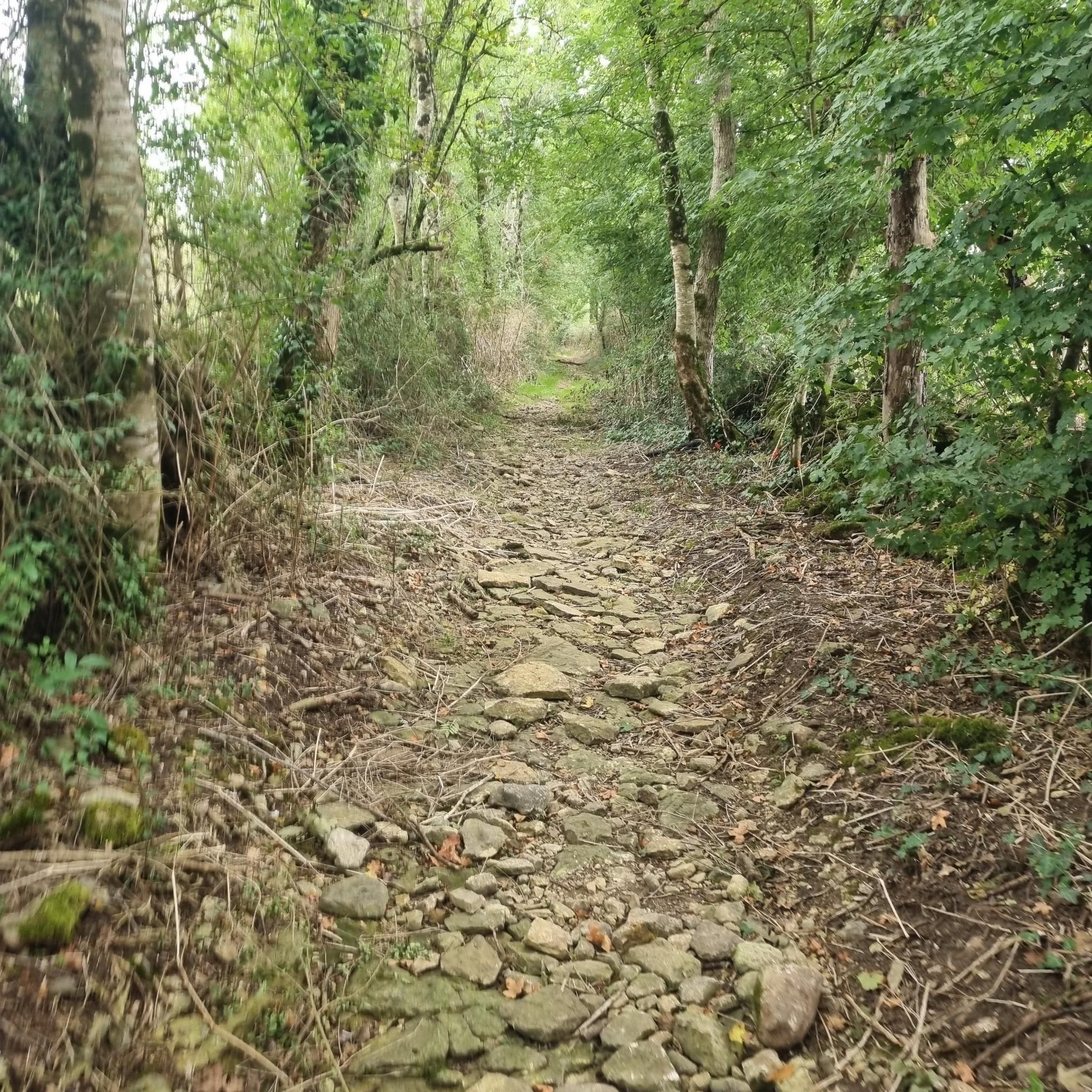
top on the pebble path that runs along the lambon. A must-do!
0
0

The old road called "Chemin Chevaleret" connected Poitiers to the sea. The Roman bridge is a witness to this trade route at the time of Roman Gaul. It is an idyllic place to take a break or cool off with your feet in the water.
1
0

When you cross this bridge, you can thank the Roman architecture, engineering and builders, because this bridge still resists today the incessant flow of the Chambon.
2
0
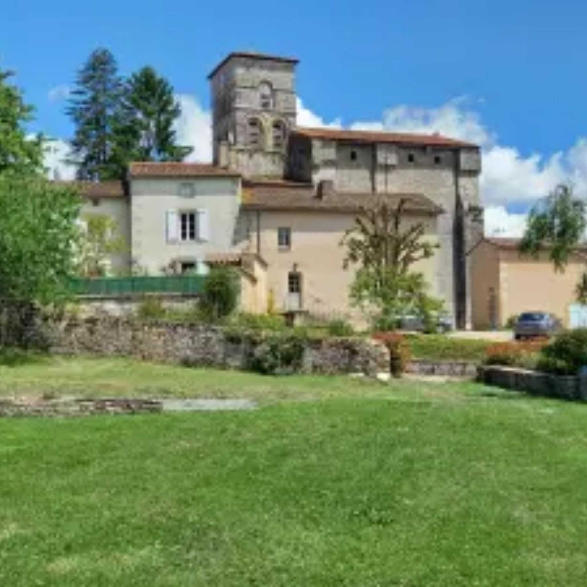
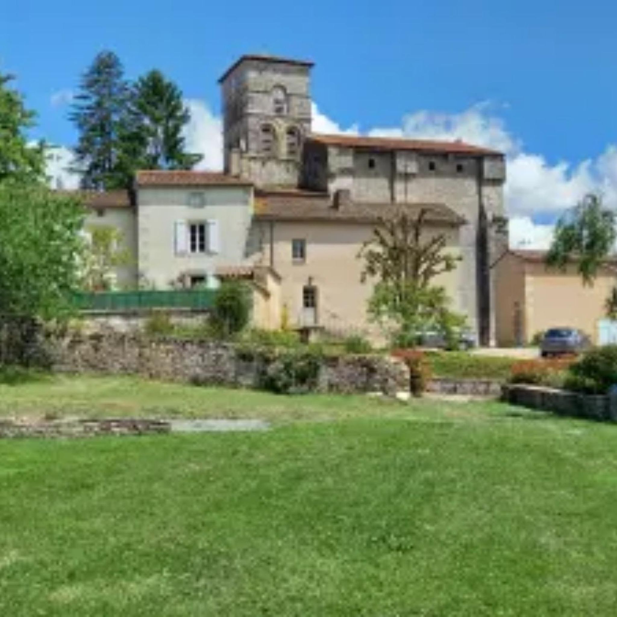
This 15th century castle, with its almost entirely intact moat, gives a real idea of its function as a fortress. Be sure to take a look as you pass by!
2
0
Testimony of Roman architecture, engineering and builders, this bridge still resists today the incessant flow of the Chambon.
4
0
This 15th century castle, with its almost entirely intact moat, gives a real idea of its function as a fortress. The castle is open to the public for visits.
2
0

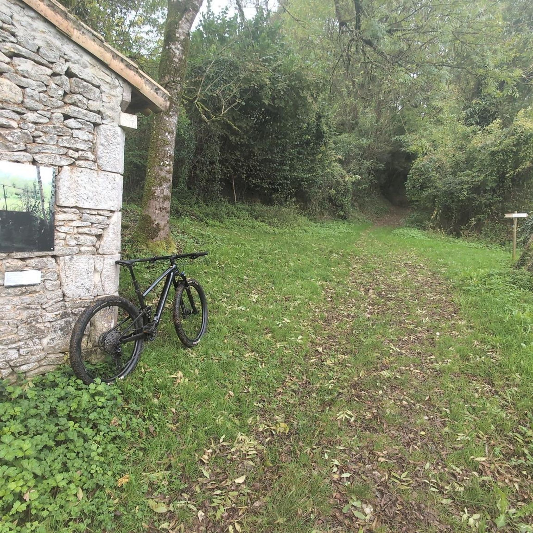
Body of water that can be cycled around, with authorized swimming and a small snack bar.
1
0
Frequently Asked Questions
What kind of terrain can I expect on running trails around Augé?
Jogging routes around Augé are characterized by a hilly landscape and wooded undergrowth. You'll find varied running environments, from green meadows to shaded woodlands, with elevation changes ranging from 49m to 189m. Some trails, like the "Trail des vallées du Tram", even incorporate stairs and hills through river valleys, offering a dynamic workout.
How many running routes are available in the Augé area?
There are over 400 running routes available around Augé, catering to various fitness levels. This includes 32 easy routes, over 300 moderate options, and nearly 70 more challenging trails.
Are there any easy or beginner-friendly jogging paths in Augé?
Yes, Augé offers 32 easy jogging routes perfect for beginners or those looking for a more relaxed run. While specific names aren't listed here, these paths generally feature less elevation gain and gentler terrain, often winding through meadows or shaded sections.
Can I find circular running routes around Augé?
Many of the running routes in Augé are designed as loops, allowing you to start and finish in the same location. For example, the Pont du Romain loop from Augé is a popular circular option, offering significant elevation changes.
What are some scenic points or landmarks I might see while jogging in Augé?
While running around Augé, you can encounter several interesting sights. The village itself is nestled around the historic 11th-13th century Église Saint-Grégoire. You might also pass historical remnants like the pillars of viaducts from the old Deux-Sèvres Tramway. For longer runs, consider routes that offer views of Roman Bridge Over the Chambon or even the distant Coudray-Salbart Castle.
Are there any running routes that pass by water features like lakes or rivers?
Absolutely. The region is shaped by rivers like the Ligueure and Chambon, and some routes follow their valleys. For a run near a larger body of water, consider the Cherveux Castle – Cherveux Lake loop from Villeneuve, which offers scenic views around Lac de Verruyes. You might also encounter the Le Puits d'Enfer, a waterfall, on some trails.
What do other runners say about the jogging experience in Augé?
The running routes in Augé are highly rated by the komoot community, with an average score of 4.4 stars from over 100 reviews. More than 5000 runners have explored Augé's varied terrain, often praising the diverse landscapes, from shaded woodlands to challenging hilly sections.
Are there any specific long-distance running trails for experienced joggers?
For experienced runners seeking a challenge, Augé offers several longer and more difficult routes. The Narrow path beside stream – Mousson Trail loop from Saint-Christophe-sur-Roc is a demanding 16.2-mile (26.0 km) trail through shaded woodlands and along streams, typically taking nearly 3 hours to complete.
Is there a good time of year to go running in Augé?
Augé's diverse landscape, with its wooded undergrowth and shaded paths, makes it enjoyable for running across multiple seasons. Spring and autumn offer pleasant temperatures and beautiful scenery. Even in summer, the shaded woodlands can provide a cooler environment for your run, while the hilly terrain can be invigorating year-round.
Are there any running routes that are particularly good for exploring the local history?
Yes, the region's history is woven into its landscape. The "Trail des vallées du Tram" circuit, starting from Augé, incorporates historical remnants such as the pillars of viaducts from the old Deux-Sèvres Tramway (TDS). Running through the village itself, with its winding streets and the Romanesque fortified Church of Saint-Grégoire, also offers a glimpse into Augé's past.
Where can I find more information about outdoor activities in the Haut Val de Sèvre region?
For more details on outdoor activities, including trail running and other sports in the broader Haut Val de Sèvre region where Augé is located, you can visit the official tourism website: tourisme-hautvaldesevre.fr.
Most popular attractions around Augé

Get inspired with the komoot mobile app


Explore more
Browse the best Running Trails & Routes in other regions.
