The best road cycling routes around Fremifontaine
4.5
(82)
1,593
riders
111
rides
Road cycling around Fremifontaine offers diverse landscapes at the entrance of the Vosges massif. The region is characterized by significant forest cover, natural springs, and an elevation of approximately 500 meters above sea level. Cyclists can expect varied terrain with gradients typically between 5-10%, providing both demanding climbs and rewarding descents within the broader Vosges mountains. This area is well-regarded for its road cycling opportunities, blending scenic beauty with challenging routes.
Best road cycling routes around Fremifontaine
- The most popular…
Last updated: October 8, 2026
15
riders
40.7km
01:58
300m
300m
Easy road ride. Great for any fitness level. Mostly well-paved surfaces and easy to ride.
4.0
(1)
13
riders
52.6km
02:35
480m
480m
Moderate road ride. Good fitness required. Mostly well-paved surfaces and easy to ride.

6
riders
55.1km
02:28
550m
550m
Moderate road ride. Good fitness required. Mostly well-paved surfaces and easy to ride.
8
riders
83.9km
03:52
760m
760m
Moderate road ride. Good fitness required. Mostly well-paved surfaces and easy to ride.
5.0
(1)
7
riders
32.6km
01:27
240m
240m
Easy road ride. Great for any fitness level. Mostly well-paved surfaces and easy to ride.
Get access to more routes and recommendations from other explorers.
Already have an account?
Our route recommendations are based on thousands of hikes, rides, and runs completed by other people on komoot.
Start today with a free account
Your next adventure awaits.
Tips from the Community

Beautiful road in the middle of the forest. Quite little traffic on the weekend.
0
0

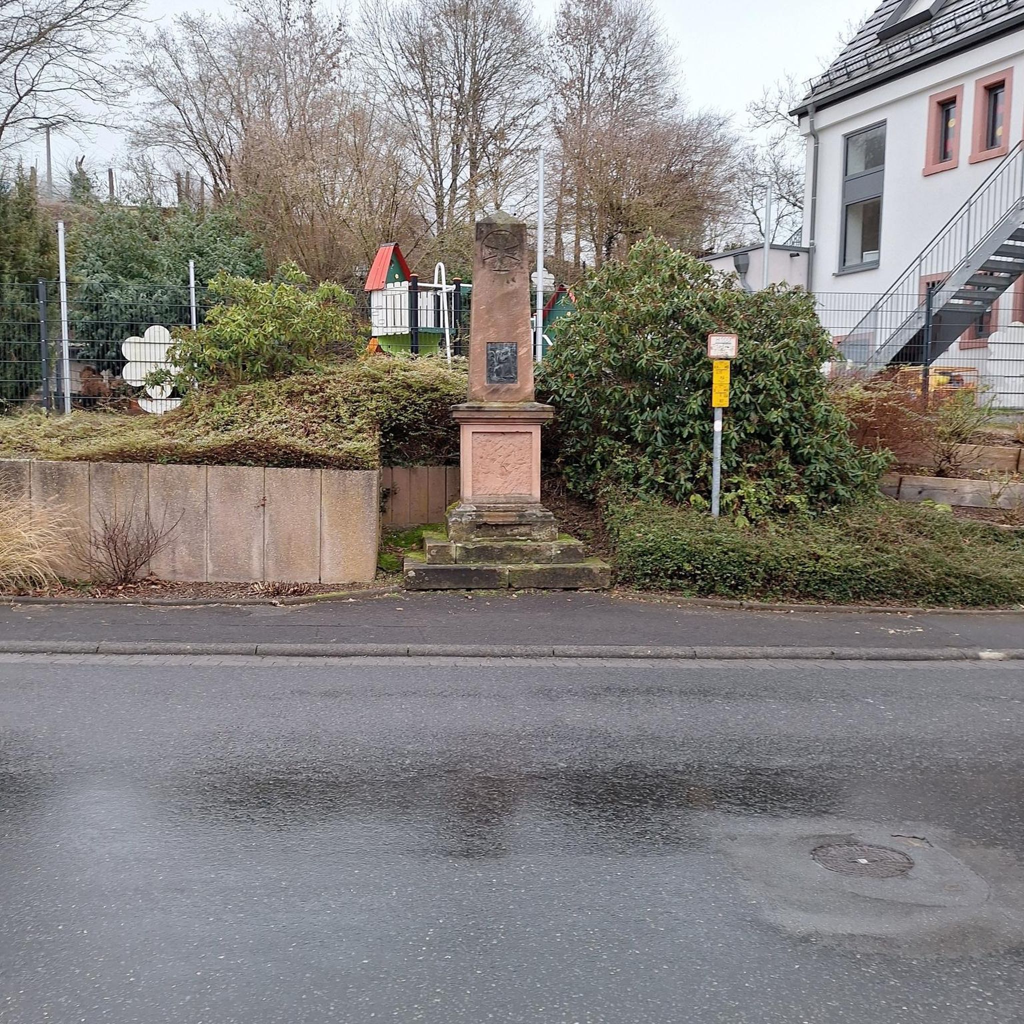
It is located on the left bank of the Meurthe, at number 14 rue Denfert-Rochereau. The Saint-Georges church is the church of La Neuveville-lès-Raon, which merged with Raon-l'Etape in 1947. It was built between 1835 and 1838 according to the plans of the district architect Boucher de Saint-Dié. The church was fitted out in 1894. In 1905 the dome was rebuilt. From 1973 to 1978, major restoration work was carried out, both interior and exterior. Inside, among other things, there is an old statue of Our Lady of Sorrows, a painting of Saint Nicholas, who is also the patron saint of wood-floaters, a painted wooden Christ, and a memorial chapel (1922).
0
0

Lac de la Plaine is a picturesque lake in the Vosges, located near Celles-sur-Plaine, near the larger Lac de Pierre-Percée. The lake is an artificial water reservoir of about 0.5 million m³ and serves as a supply basin for the reservoir above.
1
0
This impressive dam, located in the Vosges, forms an artificial water reservoir together with the Lac de Pierre-Percée. The dam is 69 metres high and 330 metres long, built with a clay core and lined with volcanic rock. It plays an important role in water management and energy production via an underground water connection with the Lac de la Plaine. The surrounding area offers beautiful views and is ideal for hiking along rocky paths, forests and viewpoints over the lake.
7
0


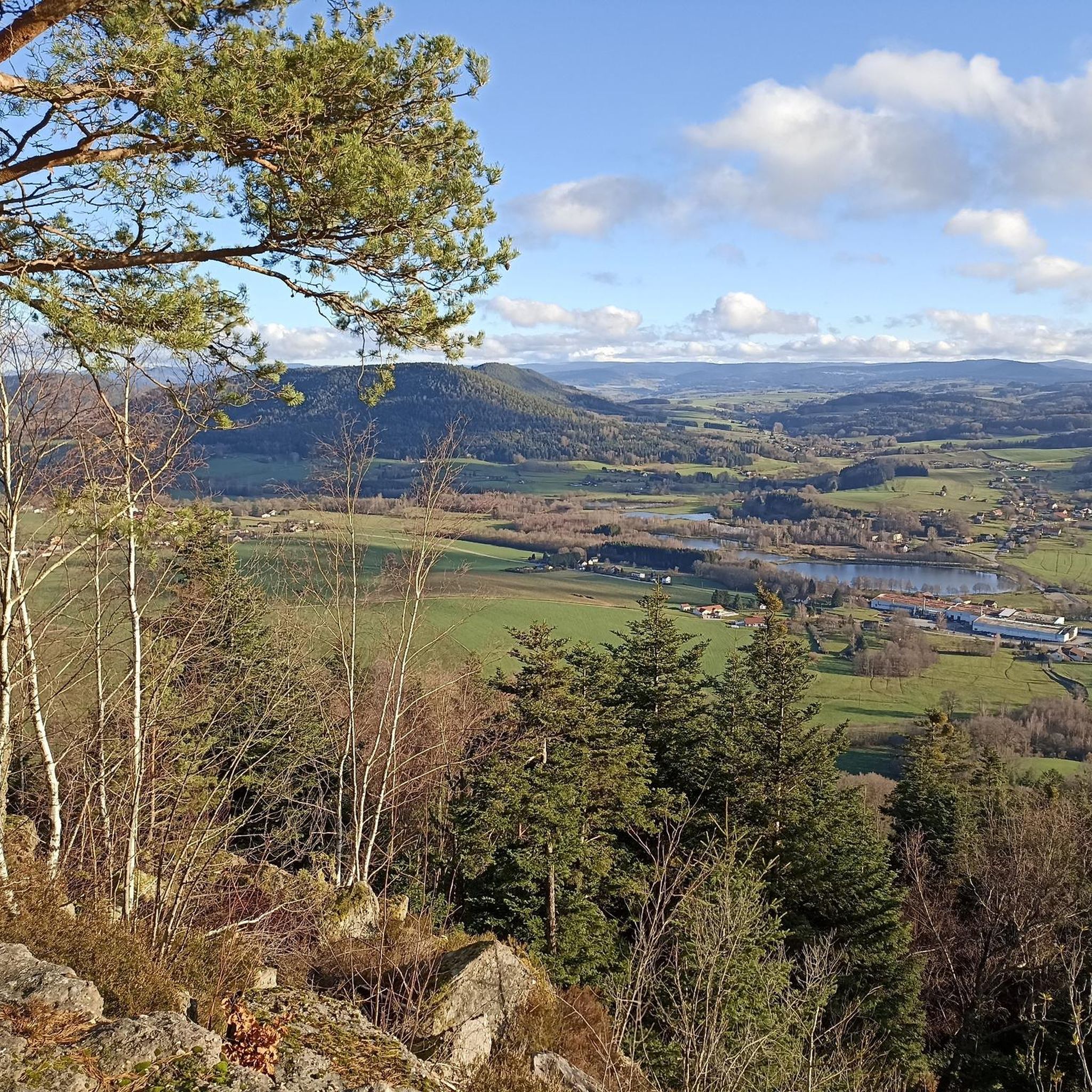
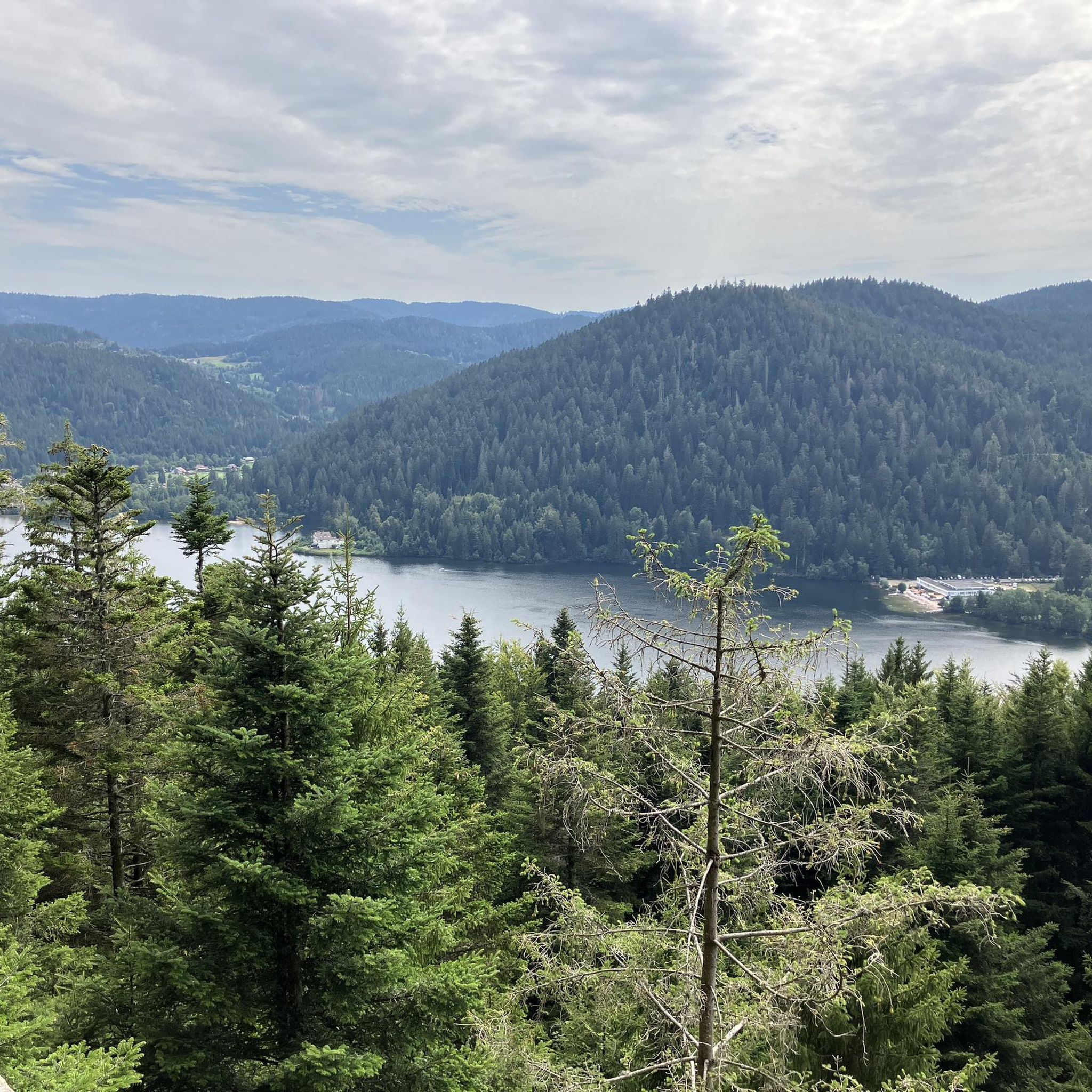
Very beautiful overall views of the lake from the dam, especially in autumn. Beautiful view also of the rear of the dam with the Vosges in the background. The adjoining parking lot allows you to start the hike from this point as well. Under a large shelter next to it, information on large panels tells the history of the dam.
1
0

Belvedere with information panels relating to the Pierre Percée lake, as well as an orientation table.
1
0
EDF dam built in the 1980s. The lake supplies the Meurthe then the Moselle in order to compensate for the water needs of the Cattenom power station.
1
0
Frequently Asked Questions
How many road cycling routes are available around Fremifontaine?
There are over 90 road cycling routes around Fremifontaine, offering a wide range of options for different preferences and skill levels. The komoot community has explored these routes over 1400 times.
What kind of terrain can I expect when road cycling around Fremifontaine?
Road cycling around Fremifontaine offers diverse landscapes at the entrance of the Vosges massif. You can expect significant forest cover, natural springs, and an elevation of approximately 500 meters above sea level. The terrain features varied gradients, typically between 5-10%, providing both demanding climbs and rewarding descents within the broader Vosges mountains.
Are there road cycling routes suitable for different skill levels?
Yes, the routes around Fremifontaine cater to various abilities. You'll find over 20 easy routes, more than 50 moderate paths, and 15 challenging routes for experienced cyclists, ensuring there's something for everyone.
What are some notable natural features or landmarks I might encounter on the routes?
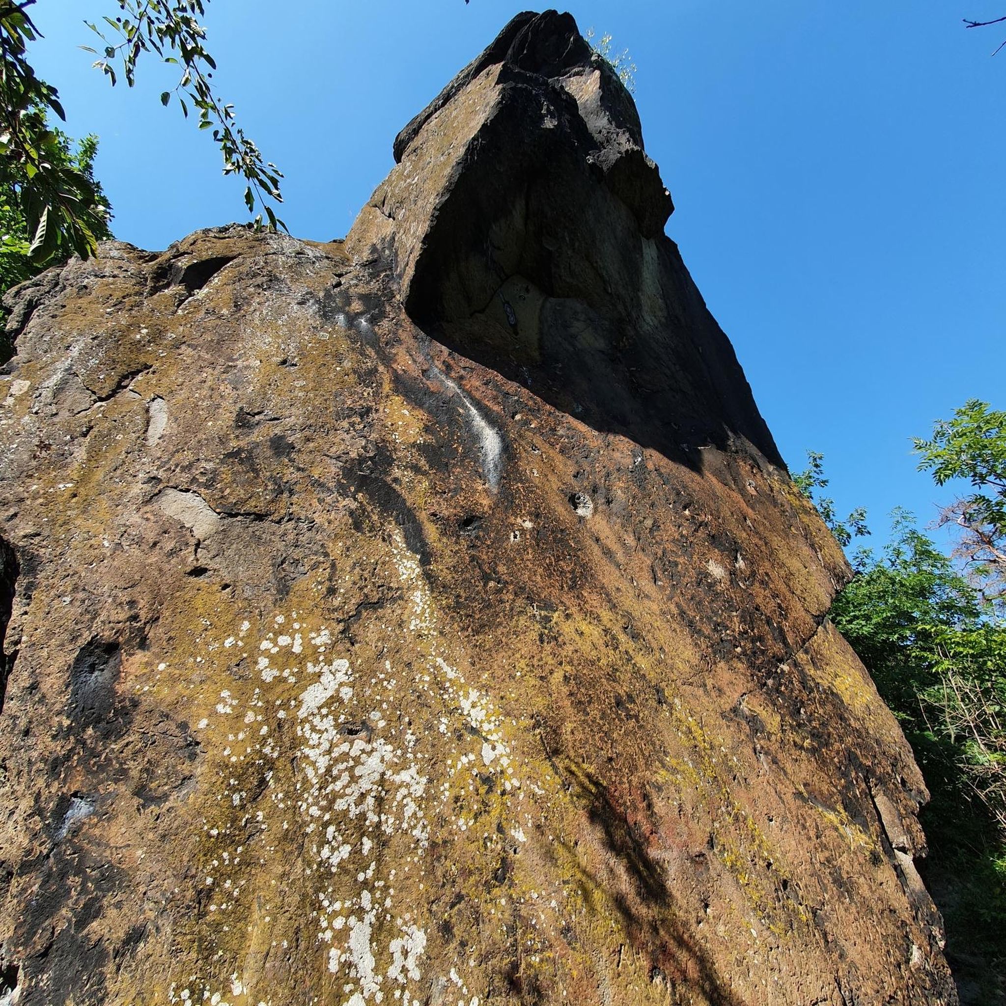
The region is rich in natural beauty. You might encounter deep forests, natural springs, and the distinctive 'ballons' (round peaks) of the Vosges mountains. Specific highlights include the Pointhaie Rocks and scenic forest roads like the Forest road between Brouvelieures and Autrey. The wider Vosges area is also known for its valleys and waterfalls, such as the Cascade de la Pissoire.
What do other road cyclists enjoy most about road cycling in Fremifontaine?
The area is highly rated by the komoot community, with an average score of 4.5 stars from over 40 reviews. Cyclists often praise the varied terrain, the scenic beauty of the Vosges mountains, and the blend of challenging climbs and rewarding descents.
Are there any circular road cycling routes available?
Yes, many routes around Fremifontaine are designed as loops. For example, the difficult Col du Wettstein – Wettstein Pass loop from Bruyères and the moderate Moulin Lake – Arrentes Pass loop from Bruyères are popular circular options that allow you to start and finish in the same location.
What is the best time of year for road cycling in Fremifontaine?
The Vosges region, including Fremifontaine, is generally best for road cycling from spring through autumn. During these seasons, the weather is more favorable, and the natural landscapes are at their most vibrant. While specific conditions vary, avoiding winter months is advisable due to potential snow and ice in higher elevations.
Are there any family-friendly road cycling options around Fremifontaine?
While many routes feature challenging gradients, there are over 20 easy routes that could be more suitable for families or those looking for a less strenuous ride. These routes often traverse less demanding terrain, allowing for a more relaxed cycling experience amidst the scenic surroundings.
Where can I find places to rest or refuel along the routes?
While Fremifontaine itself is a small commune, the surrounding towns and villages offer amenities. Some routes, like the Refill your bidon here! ☝ – Im Grünen loop from Bruyères, specifically highlight points where you can refill your water bottles. Larger towns nearby, such as Bruyères, will have cafes and restaurants.
What are some cultural or historical attractions near the cycling routes?
Beyond cycling, you can explore the Haut Fer de Brouaumont, a former hydraulic sawmill, or the Arboretum du Haut Jacques within Fremifontaine. For history enthusiasts, there are American monuments commemorating 1944 battles in the communal forest. The beautiful Jardins de l'Abbaye Notre-Dame d'Autrey, recognized as 'Jardin remarquable,' are also just 3.3 km away.
How accessible is Fremifontaine by public transport for cyclists?
Fremifontaine is a rural commune. While specific public transport links directly to trailheads for cyclists might be limited, the broader Vosges region is generally accessible. It's advisable to check local bus or train schedules for connections to nearby towns like Bruyères, from which many routes originate, and plan accordingly for bike transport.
Are there specific passes or climbs that are popular among road cyclists?
Yes, the Vosges mountains are known for their challenging passes. Routes like the Col du Wettstein – Wettstein Pass loop from Bruyères and the Col de la Schlucht – Col du Wettstein loop from Bruyères take you over significant mountain passes, offering substantial elevation gains and rewarding views. These passes have even featured in prestigious events like the Tour de France.
Most popular routes around Fremifontaine
Most popular attractions around Fremifontaine

Get inspired with the komoot mobile app


Explore more
Browse the best Road cycling routes in other regions.
