The best walks and hikes around Montgesoye
4.4
(886)
4,850
hikers
175
hikes
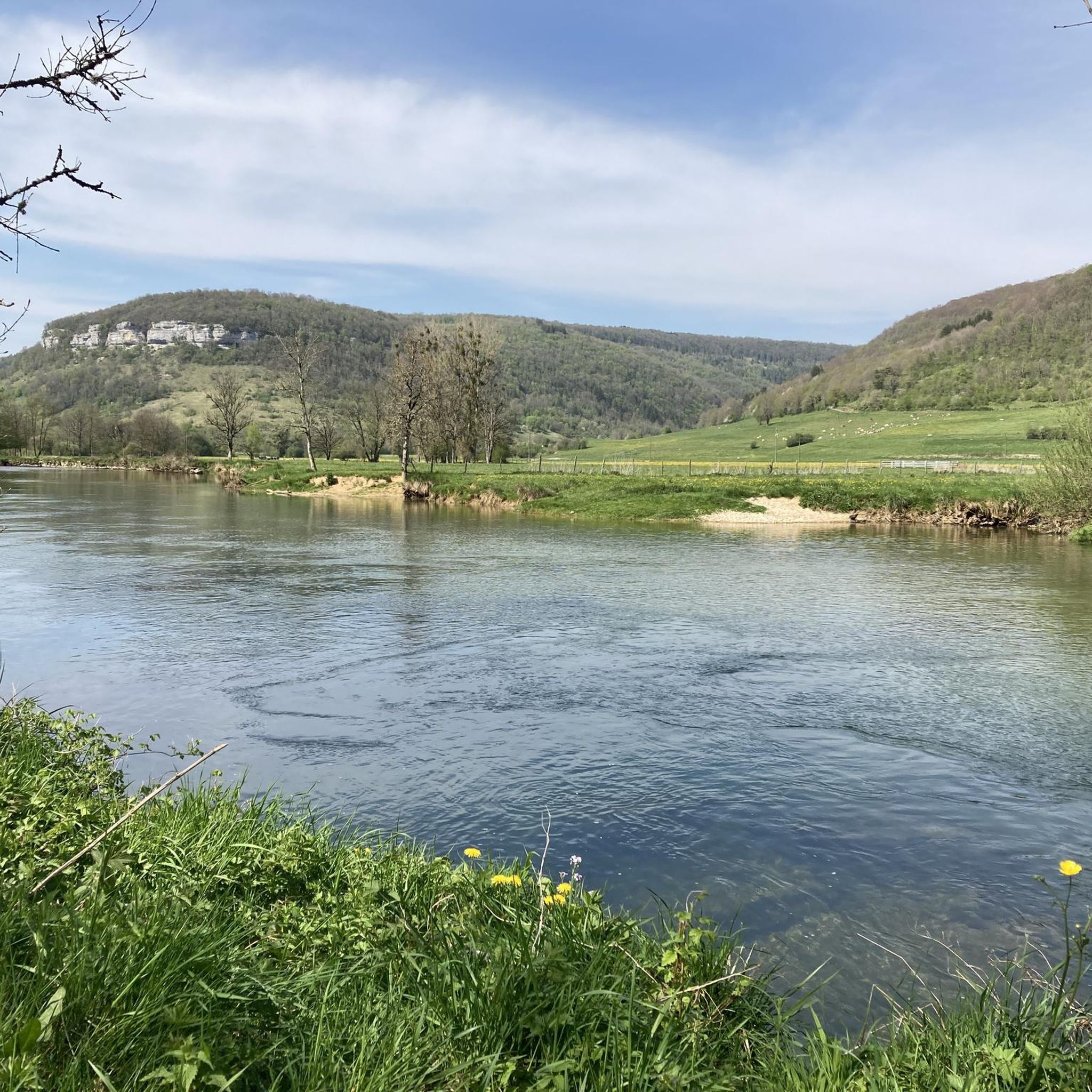
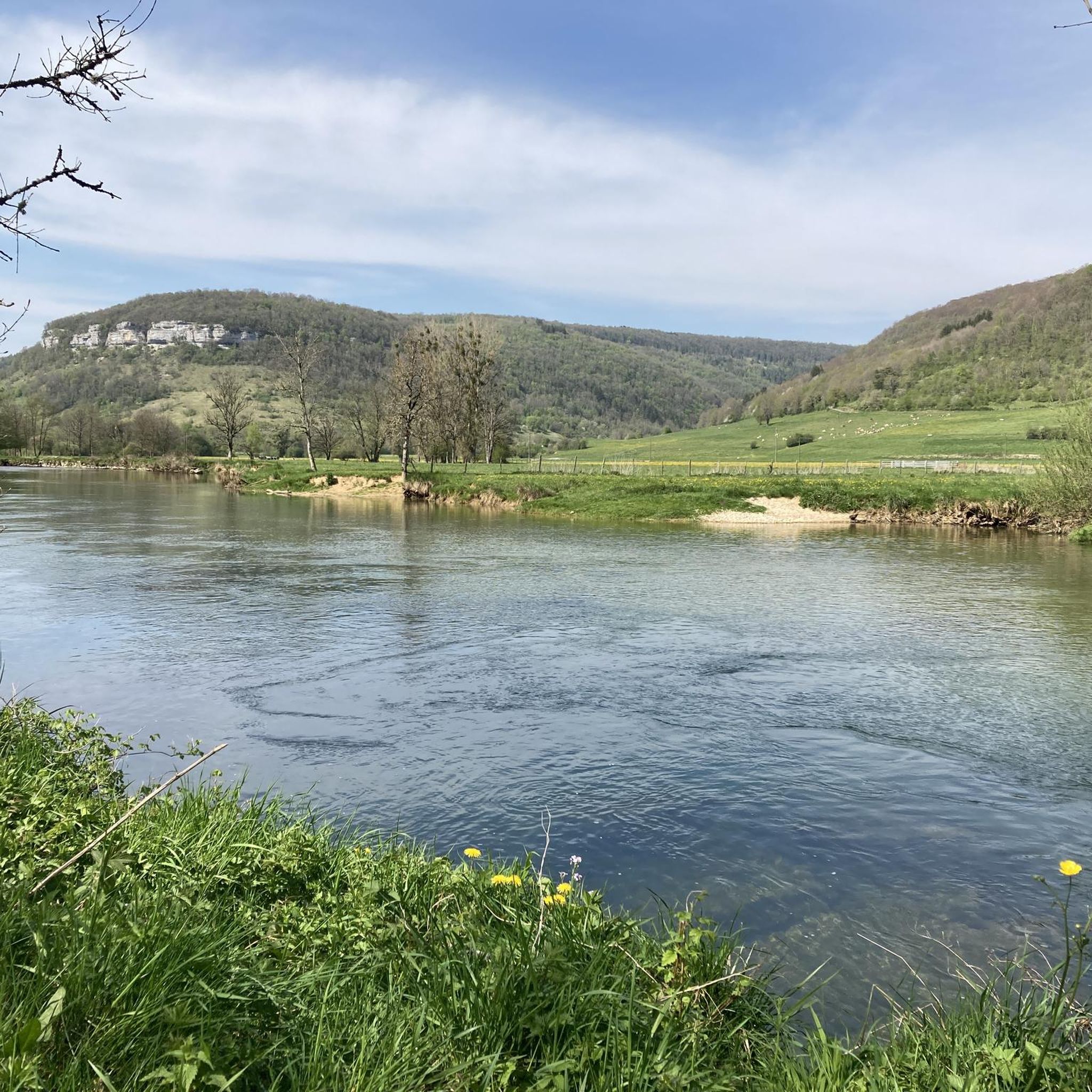
Hiking around Montgesoye offers trails through a landscape characterized by river valleys, forested areas, and elevated viewpoints. The region features the Loue River and its tributaries, with routes often incorporating natural features like waterfalls and historical elements such as old mills and bridges. Elevation changes provide opportunities for scenic vistas across the surrounding countryside.
Best hiking trails around Montgesoye
- The most popular hiking route is Old water mill – Old Bridge of Vuillafans loop from Montgesoye, a 7.9 miles…
Last updated: July 6, 2026
5.0
(8)
38
hikers
12.6km
03:44
340m
340m
Moderate hike. Good fitness required. Easily-accessible paths. Suitable for all skill levels.
4.6
(9)
48
hikers
10.0km
02:59
290m
290m
Moderate hike. Good fitness required. Easily-accessible paths. Suitable for all skill levels.

Sign up for free
4.7
(13)
32
hikers
5.49km
01:39
160m
160m
Easy hike. Great for any fitness level. Easily-accessible paths. Suitable for all skill levels.
3.3
(3)
25
hikers
5.06km
01:19
30m
30m
Easy hike. Great for any fitness level. Easily-accessible paths. Suitable for all skill levels.
4.7
(3)
13
hikers
10.4km
02:41
70m
70m
Moderate hike. Good fitness required. Easily-accessible paths. Suitable for all skill levels.
Get access to more routes and recommendations from other explorers.
Sign up for free
Already have an account?
Our route recommendations are based on thousands of hikes, rides, and runs completed by other people on komoot.
Start today with a free account
Your next adventure awaits.
Login or Signup

Tips from the Community

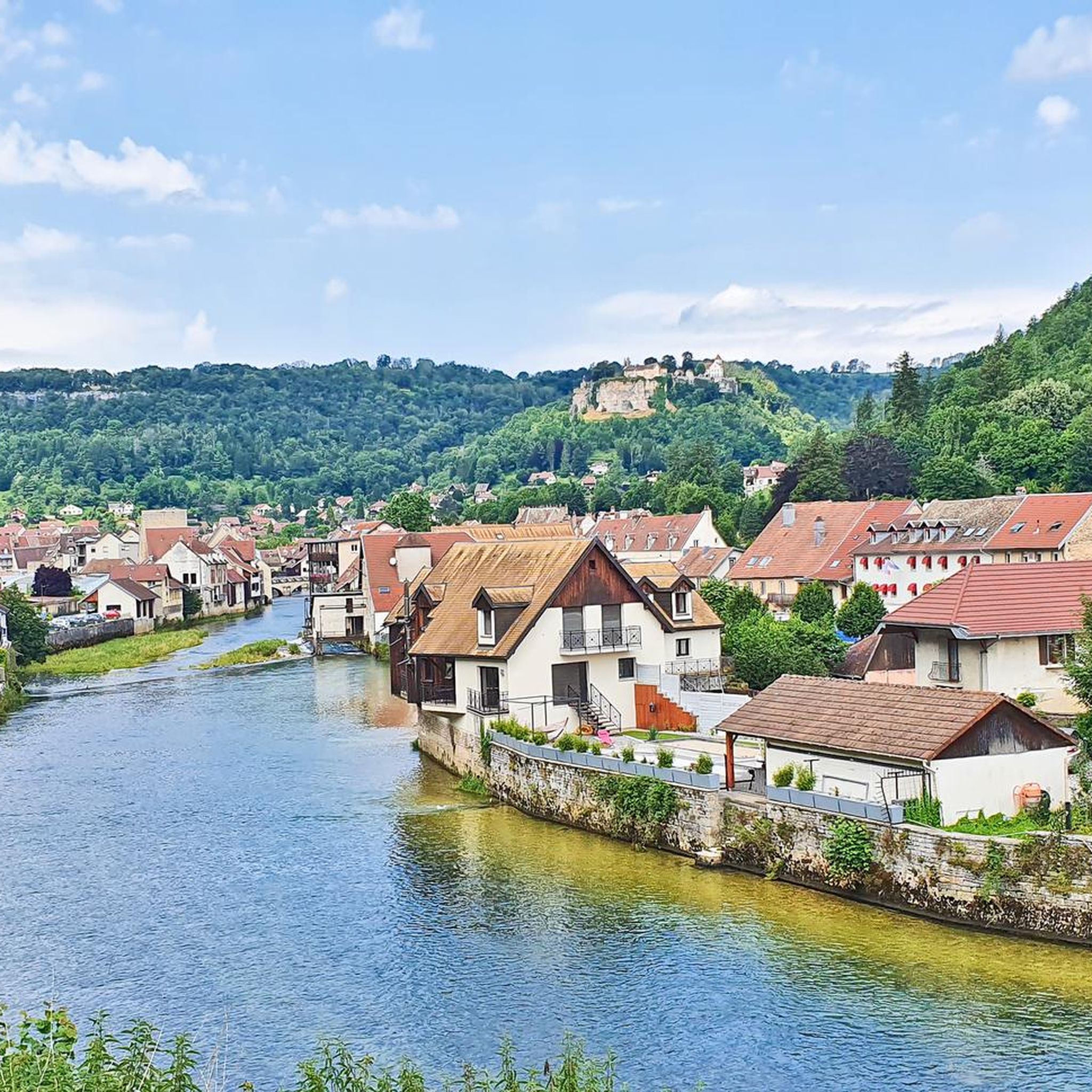
Typically picturesque, worth seeing French town
0
0

The "Danger Chevaux" sign doesn't mean you're not allowed to enter. Open the gate and close it properly.
0
0

beautiful view
0
0

Remarkable viewpoint over the Loue valley with Montgesoye in the foreground and Ornans revealed in the background, to the right.
0
0
A waterfall at the bottom of the Vau valley and petrifying streams will be your discovery at the bend of a pleasant forest path.
0
0

Vulliafans with around 700 inhabitants in the Doubs department in the Bourgogne-Franche-Comté region - a magical place with the Pont Vieux - this bridge with its 3 arches was built in the 17th century. Further into the town center there are numerous town and farm houses that were built in the characteristic style of Franche-Comté in the 16th to 18th centuries. One of the oldest houses is the former manor house La Forteresse from the 14th/15th century. The really beautiful thing is the authentic flair.
0
0
Frequently Asked Questions
How many hiking trails are available around Montgesoye?
Montgesoye offers a diverse network of over 170 hiking trails. These routes explore the region's river valleys, forested areas, and elevated viewpoints, catering to various preferences and skill levels.
What is the general difficulty level of hikes in Montgesoye?
The trails around Montgesoye range in difficulty. You'll find approximately 60 easy routes, over 90 moderate trails, and around 20 more challenging options, ensuring there's something for every hiker.
Are there any easy hiking trails suitable for beginners or families?
Yes, Montgesoye has numerous easy trails perfect for beginners or family outings. An example is the Belvedere de la roche botine – Horse pasture loop from Ornans, which is 3.4 miles (5.5 km) long and offers gentle terrain.
Can I find circular hiking routes in Montgesoye?
Many trails in Montgesoye are designed as circular routes, allowing you to start and end at the same point. A popular option is the Old water mill – Old Bridge of Vuillafans loop from Montgesoye, which is 7.9 miles (12.6 km) and explores local river landscapes and historical structures.
Are there trails with waterfalls or scenic viewpoints in the area?
Absolutely. The region is known for its natural beauty. You can explore trails featuring waterfalls, such as the Vau Waterfall – La Thuyère viewpoint loop from Montgesoye. For panoramic views, highlights like the Renédale Viewpoint and View of Roche Bottine offer stunning vistas.
What kind of natural attractions can I explore while hiking?
Beyond waterfalls and viewpoints, Montgesoye's natural attractions include geological formations like the Source du Pontet cave and the dramatic Gorges de Noailles. You'll also encounter impressive White Limestone Cliffs and unique rock formations like Column Rock.
Are there any historical sites or points of interest along the trails?
Yes, the Montgesoye area is rich in history. Many routes pass through charming settlements like Ornans and Vuillafans, and you might encounter historical structures such as old mills or bridges. The Ornans – View of the Loue River loop from Montgesoye is a good example of a trail that combines natural beauty with historical context.
What do other hikers say about the trails in Montgesoye?
The hiking trails in Montgesoye are highly regarded by the komoot community, boasting an average rating of 4.5 stars from over 700 reviews. Hikers often praise the diverse landscapes, well-maintained paths, and the scenic beauty of the river valleys and viewpoints.
What is the best time of year to go hiking in Montgesoye?
The best time for hiking in Montgesoye is generally from spring through autumn (April to October). During these months, the weather is mild, and the natural scenery, including the Loue River and surrounding forests, is at its most vibrant. Winter hiking is possible, but some trails may be slippery or require appropriate gear.
Are dogs allowed on the hiking trails in Montgesoye?
Most hiking trails in the Montgesoye region are dog-friendly, but it's always recommended to keep your dog on a leash, especially in nature reserves or areas with livestock. Be sure to carry water for your pet and clean up after them.
Where can I find parking for the trailheads in Montgesoye?
Parking is generally available in or near the villages and towns that serve as trailheads, such as Montgesoye itself or nearby Ornans. Look for designated parking areas, often close to public spaces or tourist information points. Specific parking details can sometimes be found within individual komoot Tour descriptions.
Are there cafes or places to eat near the trails?
Yes, the charming villages in the Montgesoye region, including Montgesoye and Ornans, offer cafes, restaurants, and bakeries where you can refuel before or after your hike. It's a good idea to check opening hours, especially outside of peak season.
Most popular routes around Montgesoye
Most popular attractions around Montgesoye

Get inspired with the komoot mobile app


Explore more
Browse the best Hikes in other regions.
