The best walks and hikes around Saint-Pardoux-La-Rivière
4.5
(229)
988
hikers
90
hikes
Hiking trails around Saint-Pardoux-La-Rivière traverse the Périgord-Limousin Regional Natural Park, characterized by rolling hills, meadows, and forested areas. The Dronne River flows through the commune, featuring fresh, flowing waters over granite and gneiss formations. Elevations in the area range from 132 to 332 meters, contributing to an undulating countryside landscape.
Best hiking trails around Saint-Pardoux-La-Rivière
- The most popular hiking route is Saut du Chalard – Parking & Trailhead loop from Champs-Romain, a 9.0 miles (14.4 km) trail that takes…
Last updated: July 9, 2026
4.9
(27)
92
hikers
4.69km
01:28
120m
120m
Hard hike. Great for any fitness level. Sure-footedness, sturdy shoes and alpine experience required.
4.8
(4)
13
hikers
9.98km
02:42
130m
130m
Moderate hike. Good fitness required. Easily-accessible paths. Suitable for all skill levels.

Sign up for free
4.5
(2)
7
hikers
12.6km
03:29
210m
210m
Moderate hike. Good fitness required. Mostly accessible paths. Sure-footedness required.
4.0
(3)
4
hikers
10.3km
03:04
160m
150m
Hard hike. Good fitness required. Sure-footedness, sturdy shoes and alpine experience required.
5.0
(1)
4
hikers
9.20km
02:29
120m
120m
Moderate hike. Good fitness required. Easily-accessible paths. Suitable for all skill levels.
Get access to more routes and recommendations from other explorers.
Sign up for free
Already have an account?
Our route recommendations are based on thousands of hikes, rides, and runs completed by other people on komoot.
Start today with a free account
Your next adventure awaits.
Login or Signup



Tips from the Community

Nice walk through woodland and roadway. Not an Expert level trail though and definitely no need for climbing experience!
1
0

Can be done as a short walk of about 2 km there and back. Or to walk around. Steep descent and eventually rise again. Good to do with children.
0
0

Very nice walk, goes through a piece of forest, clamber over stones near the river. Up the hill between the meadows and arrive in a typical old French village.
0
0

great route through the countryside and the forest.
1
0

Retirement
0
0
Saut du Chalard road - river road
0
0

There's a small waterfall here with an abundance of rocks and fallen trees to climb. The water is cool, clear and fresh. This is a great place for a picnic or a swim and to let the kids cool off.
0
0

Pure nature, simply wonderful 🤗
0
0
Frequently Asked Questions
What types of landscapes can I expect to see while hiking in Saint-Pardoux-La-Rivière?
Hiking in Saint-Pardoux-La-Rivière offers a diverse experience within the Périgord-Limousin Regional Natural Park. You'll traverse rolling hills, lush meadows, and extensive forested areas. The Dronne River, with its fresh, flowing waters, is a prominent natural feature, and routes often pass through charming hamlets and the undulating countryside of the Périgord Vert.
Are there any easy, family-friendly hiking options available?
Yes, Saint-Pardoux-La-Rivière offers several easy routes suitable for families. For instance, the Hiking loop from Saint-Pardoux-la-Rivière is an easy 5.1 km path with a gentle ascent of 78 meters, taking about 1 hour 25 minutes. Another easy option is the Spectacular loop from Saint-Pardoux-la-Rivière, which is 5 km long.
What interesting natural features or landmarks can I discover on the trails?
The region is rich in natural and historical points of interest. You can explore the Dronne River valley, which is part of the Natura 2000 network. The area also features the notable natural site of Le Saut du Chalard. Along various routes, you might encounter old lavoirs (washhouses) and the viaduct that is now part of the Voie Verte. For a cultural detour, consider visiting the medieval village of Saint-Jean-de-Côle, classified among the 'most beautiful villages of France'.
Are there any longer or more challenging hikes for experienced trekkers?
Absolutely. For those seeking a more demanding experience, the Nontron – Boucle du Puy, round of Nontron loop from Saint-Pardoux-la-Rivière is a challenging 21.7 km trail with a 336-meter elevation gain, typically completed in just under 6 hours. Another difficult option is the Saut du Chalard – Parking & Trailhead loop from Champs-Romain, a 14.4 km route with 242 meters of ascent.
What do other hikers say about the trails in Saint-Pardoux-La-Rivière?
The hiking trails around Saint-Pardoux-La-Rivière are highly regarded by the komoot community, holding an average rating of 4.5 stars from over 215 reviews. Hikers often praise the varied terrain, the tranquility of the forested paths, and the scenic beauty of the Dronne River valley.
Can I find circular hiking routes in the area?
Yes, many of the trails in Saint-Pardoux-La-Rivière are designed as circular loops, allowing you to start and end at the same point. Examples include the Hiking loop from Saint-Pardoux-la-Rivière and the Saut du Chalard – Parking & Trailhead loop from Champs-Romain, among many others.
Is there a greenway or dedicated cycling path that can also be used for walking?
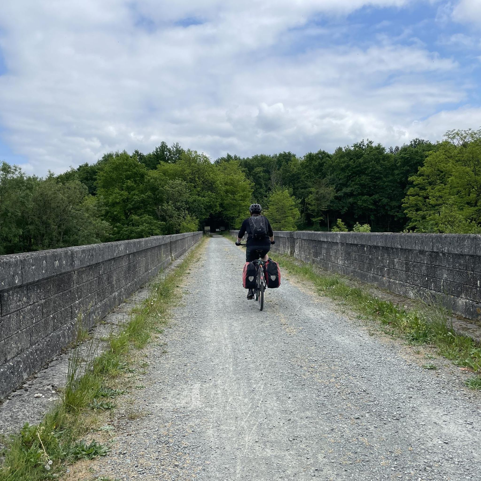
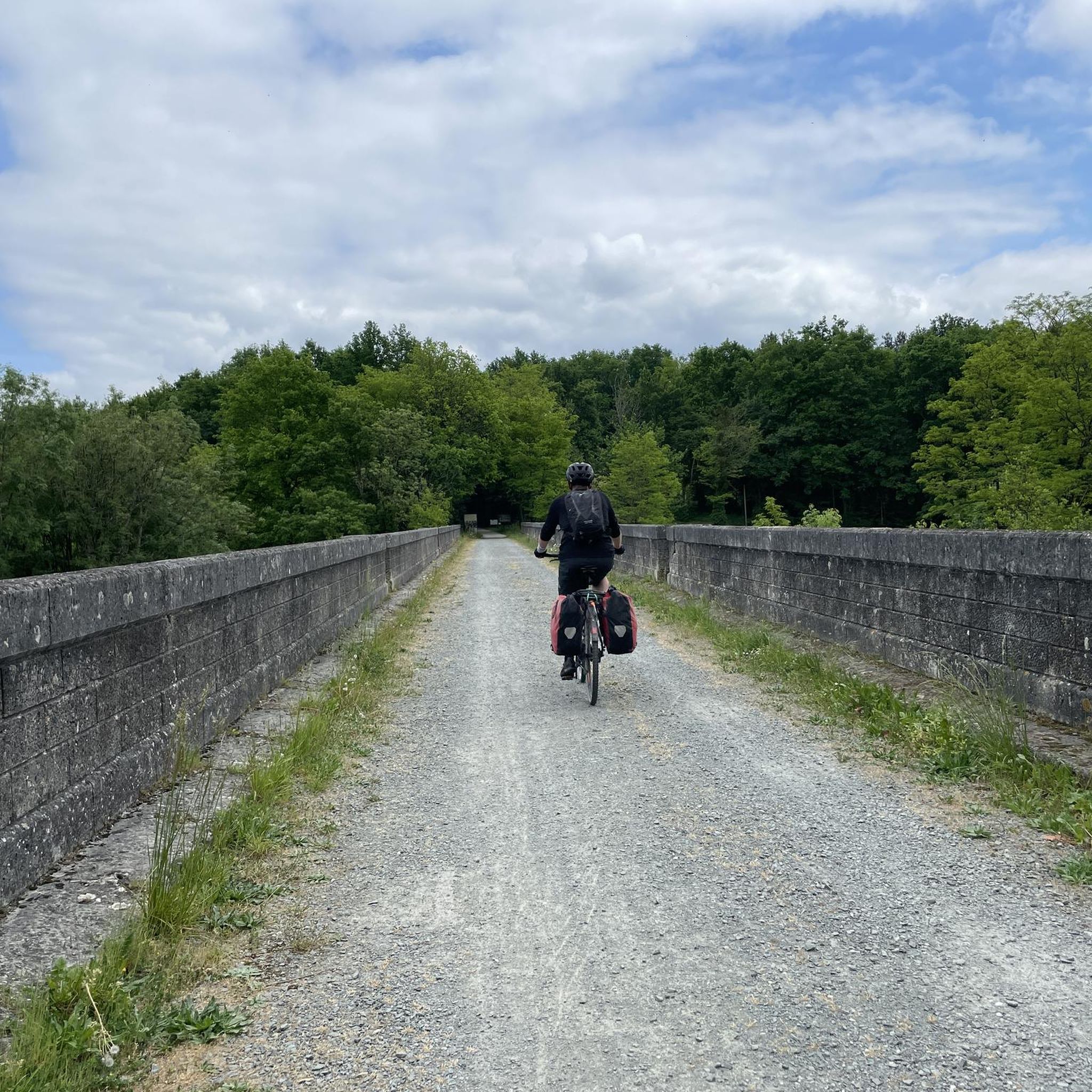
Yes, a significant feature is the 16-17 km 'Voie Verte' (greenway) that connects Saint-Pardoux-La-Rivière to Thiviers. This path, built on an old railway line, is mostly shaded and suitable for walking, cycling, and even horse riding, offering a pleasant way to explore the countryside.
Are there any historical sites or castles nearby that I can visit?
Beyond the trails, you can explore several historical sites. The medieval village of Saint-Jean-de-Côle is a must-see. Other notable historical sites include Boschaud Abbey and the impressive Château de Puyguilhem, offering a glimpse into the region's rich past.
What is the best time of year to go hiking in Saint-Pardoux-La-Rivière?
The region's diverse landscapes, with rolling hills and forested areas, make it enjoyable for hiking across multiple seasons. Spring and autumn generally offer pleasant temperatures and beautiful scenery, with spring bringing wildflowers and autumn showcasing vibrant foliage. Summer can also be good, especially on shaded trails.
Are there any places to eat or drink near the hiking trails?
Saint-Pardoux-La-Rivière itself has a pleasant square and local establishments where you can find refreshments. Many routes pass through or near charming hamlets, offering opportunities to discover local cafes or restaurants. The nearby town of Nontron also provides additional options.
How many hiking trails are available in the Saint-Pardoux-La-Rivière area?
There are over 90 hiking trails available around Saint-Pardoux-La-Rivière, catering to various fitness levels and preferences. This includes a good mix of easy, moderate, and difficult routes, ensuring there's something for everyone.
Most popular routes around Saint-Pardoux-La-Rivière
Most popular attractions around Saint-Pardoux-La-Rivière

Get inspired with the komoot mobile app


Explore more
Browse the best Hikes in other regions.
