The best running trails around Riotord
4.4
(62)
2,301
runners
23
runs
Jogging routes around Riotord are set in the Haute-Loire region, at the confluence of Ardèche and Loire, on the western flank of the Cévennes. The area features diverse landscapes, including river valleys, extensive forests, and cultivated plateaus, with the Dunières river providing pleasant, often flat terrain. Proximity to the Pilat Regional Natural Park contributes to a rich natural environment, offering varied running surfaces from paved paths to natural trails.
Best jogging routes around Riotord
- The most popular jogging route is Riotord – Grand Felletin loop from Riotord, a 20.1 miles (32.3 km) trail that takes 3 hours 51 minutes to complete. This difficult route features significant elevation gain through varied terrain.
- Another top favourite among local runners is Riotord – Sarcenas Viaduct loop from Riotord, a moderate 4.2 miles (6.7 km) path. This route offers scenic views, often crossing the Dunières river near the impressive Viaduc de Sarcenas.
- Local runners also love the Riotord loop from Riotord, a 9.0 miles (14.5 km) trail leading through rolling hills and wooded areas, often completed in about 1 hour 42 minutes.
- Jogging around Riotord is defined by river valleys, forests, and rolling hills, with the Via Fluvia offering accessible paths. The network provides options for different ability levels, from moderate runs to more challenging routes.
- The routes in Riotord are highly rated by the komoot community with an average score of 4.4 stars from over 60 reviews. More than 2000 runners have used komoot to explore Riotord's varied terrain.
Last updated: July 13, 2026
51
runners
32.3km
03:52
960m
960m
Hard run. Very good fitness required. Mostly paved surfaces. Suitable for all skill levels.
3.0
(1)
27
runners
6.65km
00:45
150m
150m
Moderate run. Good fitness required. Mostly paved surfaces. Suitable for all skill levels.

Sign up for free
13
runners
27.0km
02:53
360m
360m
Hard run. Very good fitness required. Mostly paved surfaces. Suitable for all skill levels.
9
runners
8.09km
00:51
100m
100m
Moderate run. Good fitness required. Mostly paved surfaces. Suitable for all skill levels.
7
runners
12.8km
01:21
150m
150m
Moderate run. Good fitness required. Mostly paved surfaces. Suitable for all skill levels.
Get access to more routes and recommendations from other explorers.
Sign up for free
Already have an account?
Our route recommendations are based on thousands of hikes, rides, and runs completed by other people on komoot.
Start today with a free account
Your next adventure awaits.
Login or Signup



Tips from the Community

This former train station offers a lovely setting for a stop on the Via Fluvia. The area is ideal for a picnic, thanks to its landscaped area.
0
0

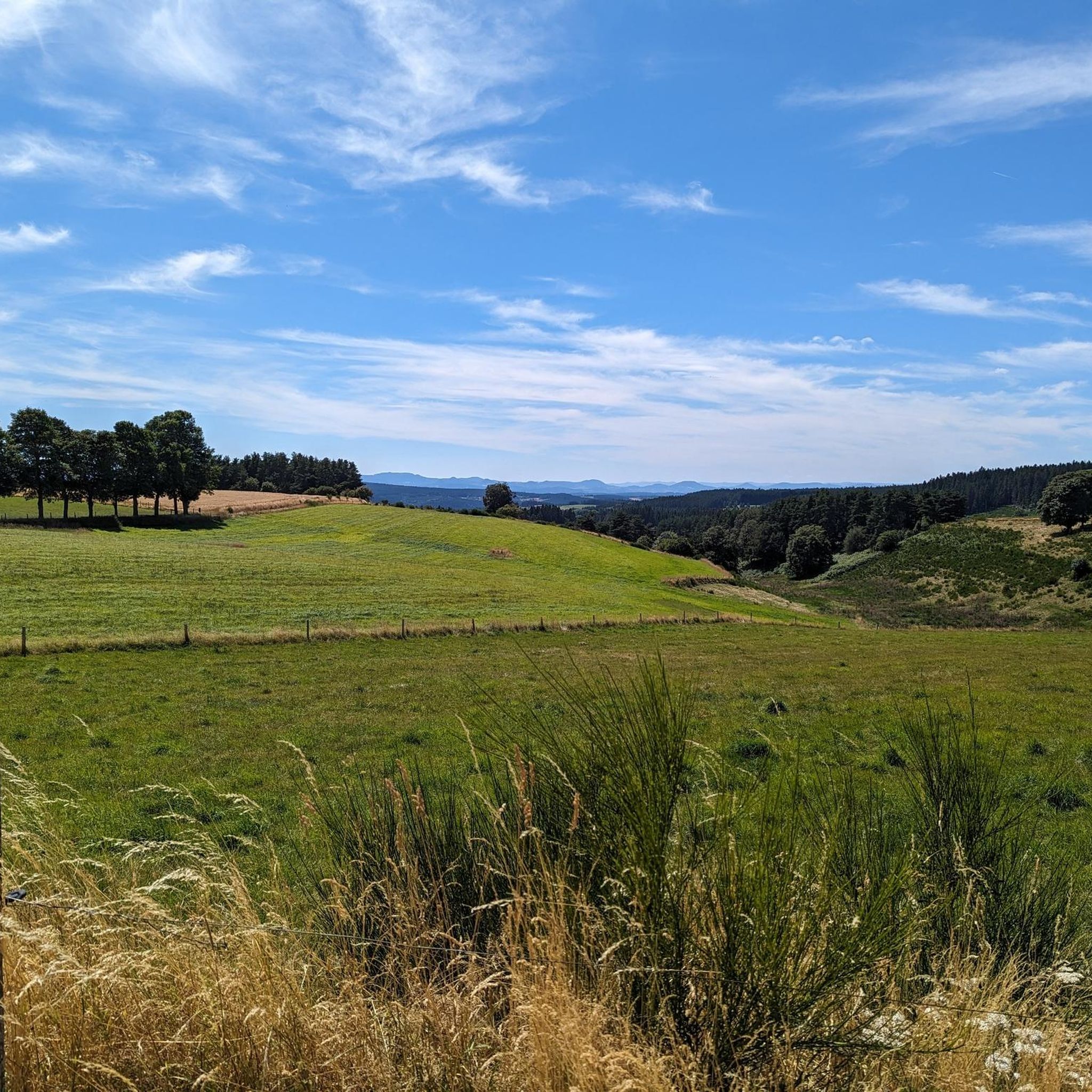
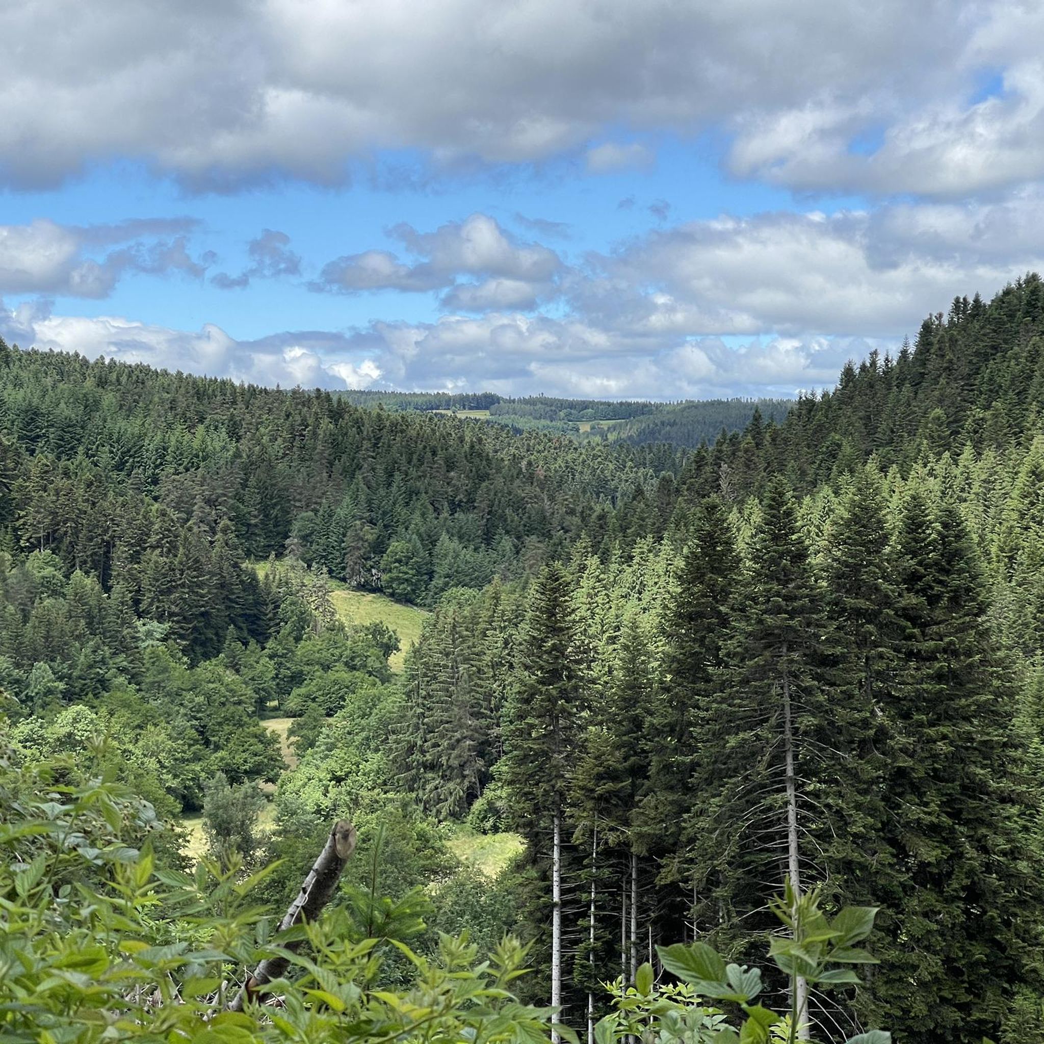
Very beautiful section from Montfaucon-en-Velay, towards Tence and Yssingeaux, with a view of all the Yssingelais peaks, and in the background, the Mézenc.
2
0

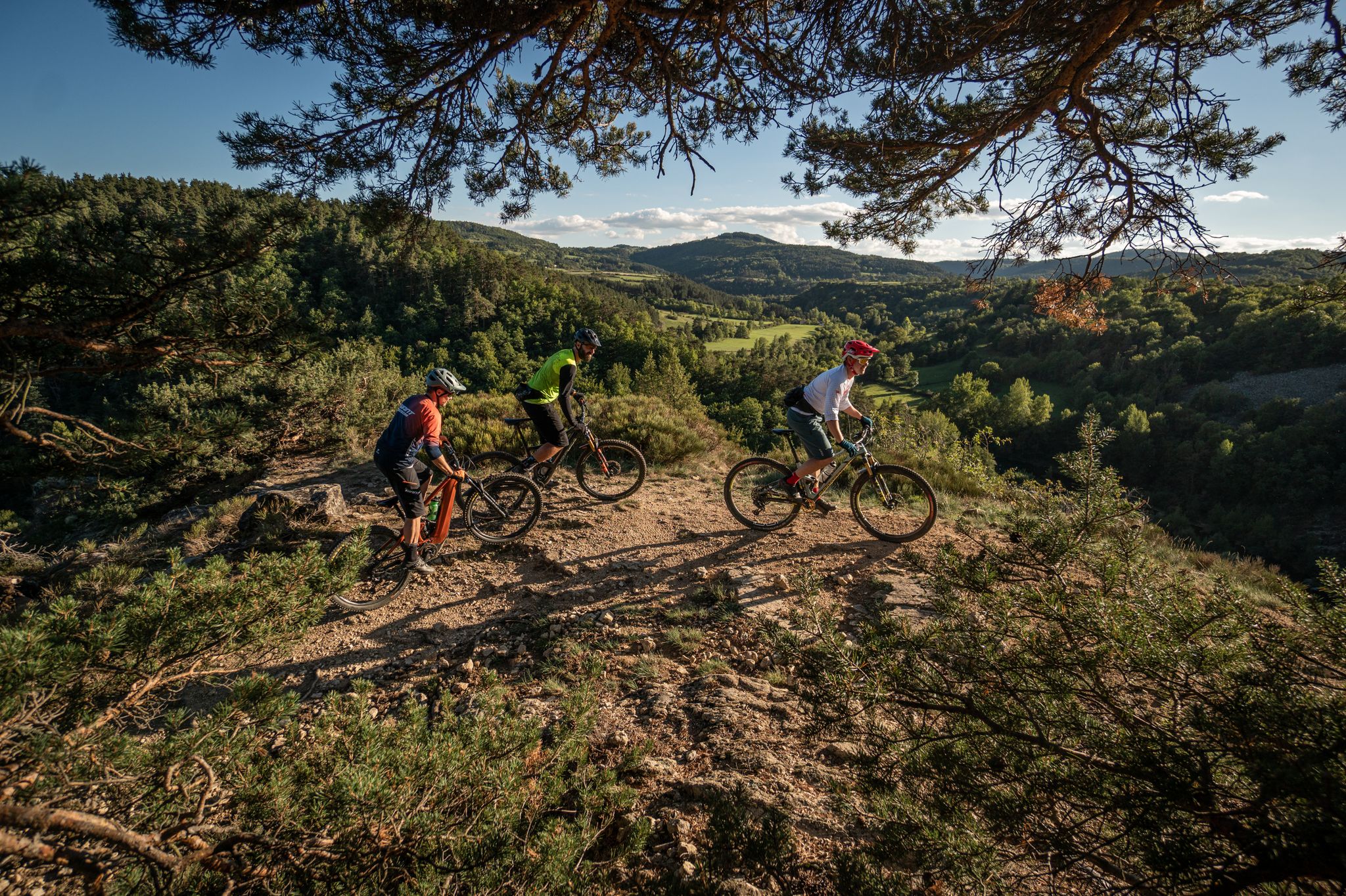
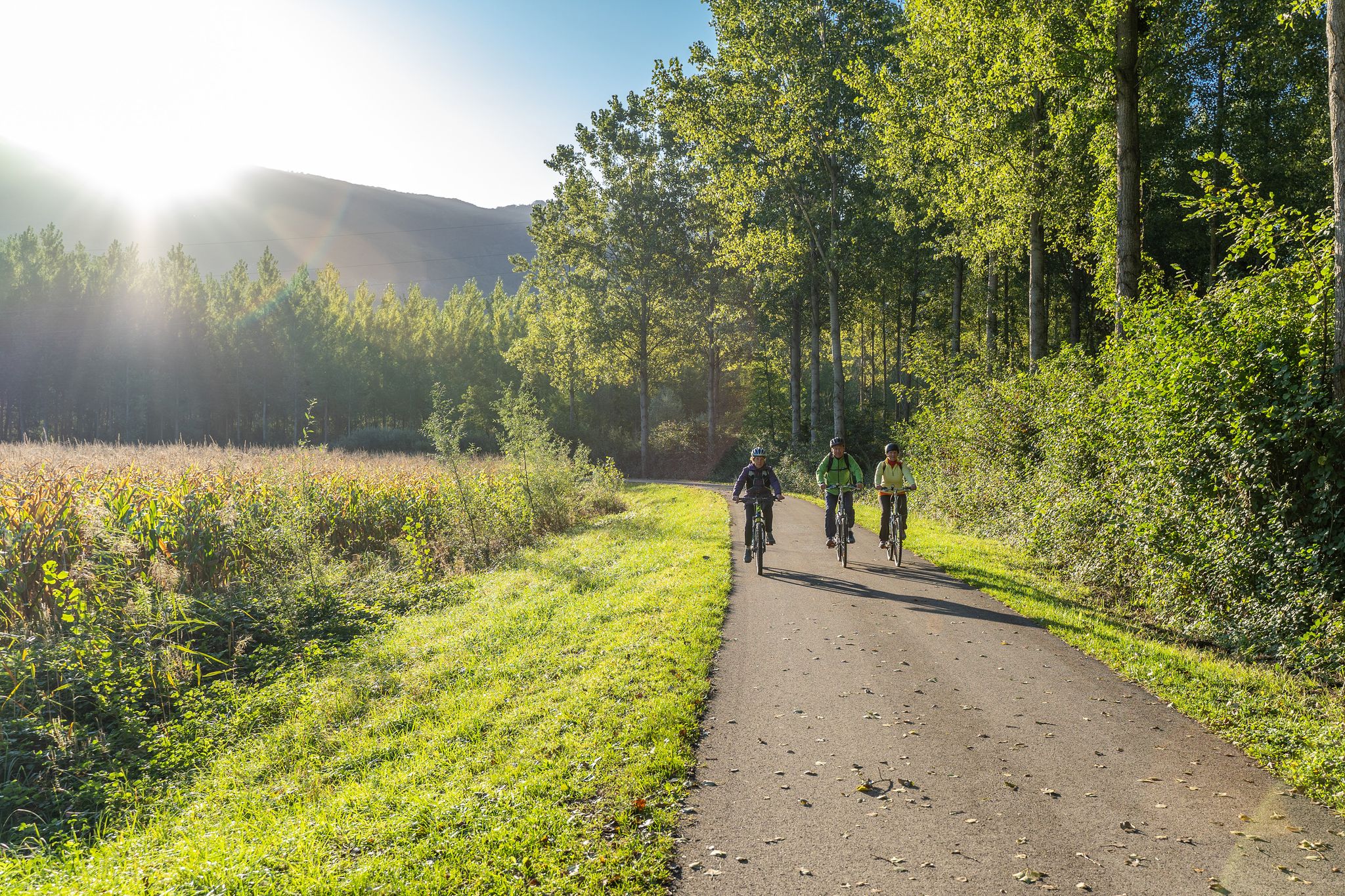
Le Riotord is a town full of assets located in the far east of Haute-Loire. It is at the crossroads of many well-marked and maintained hiking trails such as the GR 7 and the path to Saint-Jacques-de-Compostelle but also cycling routes such as the Via Fluvia and the Grande Traversée à VTT de la Haute-Loire. The town has a beautiful 11th century church or a pond ideal for a little nap by the water.
0
0

Impressive view of the Sarcenas Viaduct. It is possible to cross by bike via Via Fluvia.
0
0

View of the Sacrenas viaduct which crosses the Dunières. It is possible to take it by bike via the Via Fluvia.
1
0
Tower 25 meters high, remnant of the fortified castle of Joyeuse. Built in the 14th century, it is listed in the Supplementary Inventory of Historic Monuments
1
0

Isn't this part too much interrupted by barriers?
0
0

An old railway track that has been rebuilt into a cycle path, with small tunnels and bridges. Also very scenic.
2
0
Frequently Asked Questions
How many running routes are available around Riotord?
There are over 20 running routes around Riotord listed on komoot, offering a wide range of options for different fitness levels and preferences. These include moderate paths and more challenging trails with significant elevation gain.
Are there any easy or moderate jogging routes in Riotord suitable for beginners?
Yes, Riotord offers several moderate running paths ideal for beginners or those looking for a less strenuous run. A good option is the Riotord – Sarcenas Viaduct loop from Riotord, a 4.2-mile (6.7 km) path that offers scenic views and crosses the Dunières river. Another moderate choice is the Rétention incendie loop from Riotord, which is about 6 miles (9.7 km) long.
What kind of landscapes can I expect to see while jogging in Riotord?
Jogging routes in Riotord traverse diverse landscapes, including river valleys, extensive forests, and cultivated plateaus. You'll encounter the Dunières river, which often provides pleasant, flatter terrain, and enjoy views of rolling hills. The region's proximity to the Pilat Regional Natural Park ensures a rich natural environment with varied running surfaces.
Are there any circular running routes in Riotord?
Yes, many of the running routes in Riotord are circular, allowing you to start and end your run in the same location. For example, the Riotord loop from Riotord is a 9.0-mile (14.5 km) circular trail that takes you through rolling hills and wooded areas.
What are some notable landmarks or points of interest along the running trails?
Several routes offer views of impressive landmarks. The Riotord – Sarcenas Viaduct loop from Riotord takes you near the impressive Viaduc de Sarcenas. Other points of interest in the broader area include the Chirole Cross and the Crêt de Chaussître, which offer scenic viewpoints.
Is the Via Fluvia suitable for jogging in Riotord?
Yes, the Via Fluvia, a greenway built on an old railway line, is an excellent option for jogging. It provides long, relatively flat stretches through varied scenery, connecting the Loire, Haute-Loire, and Ardèche departments. It's ideal for those seeking accessible paths away from road traffic.
What do other runners say about the jogging routes in Riotord?
The running routes in Riotord are highly rated by the komoot community, with an average score of 4.4 stars from over 60 reviews. Runners often praise the diverse terrain, scenic views, and the peaceful atmosphere of the region's river valleys, forests, and rolling hills.
Are there any challenging running routes for experienced runners?
Absolutely. For experienced runners seeking a challenge, the Riotord – Grand Felletin loop from Riotord is a difficult 20.1-mile (32.3 km) trail with significant elevation gain, taking nearly 4 hours to complete. This route offers varied terrain and a rewarding experience.
What is the best time of year to go jogging in Riotord?
Riotord's diverse landscapes make it suitable for jogging throughout much of the year. Spring and autumn offer pleasant temperatures and beautiful scenery with changing foliage. Summer is also popular, with forests providing shade. While specific winter conditions vary, some routes may be accessible, but it's always advisable to check local conditions.
Are there any routes that offer expansive views or viewpoints?
Many routes in Riotord provide excellent viewpoints, especially those that ascend into the rolling hills or traverse plateaus. The region's natural beauty, including its 'pure, unspoilt beauty,' ensures scenic vistas. Specific highlights like the Chirole Cross are known for their panoramic views.
Can I find parking easily near the running trails in Riotord?
While specific parking details for each trail are best checked on individual route pages, Riotord is generally well-equipped for outdoor enthusiasts. As a rural area, parking is often available at trailheads or in the village center, providing convenient access to the various running routes.
Most popular attractions around Riotord

Get inspired with the komoot mobile app


Explore more
Browse the best Running Trails & Routes in other regions.
