The best walks and hikes around Davézieux
4.6
(309)
1,943
hikers
222
hikes
Hiking around Davézieux offers diverse landscapes within the Ardèche department, characterized by panoramic viewpoints, river valleys, and a mix of forested and agricultural terrain. The region features elevated points like Montmiandon and Croix de Chirole, providing extensive views of the Rhône Valley and beyond. Trails often traverse the Gorges et vallée de la Cance, offering riverside paths, and lead through woodlands and cultivated areas. This varied topography provides a range of hiking experiences for different abilities.
Best hiking trails around…
Last updated: July 1, 2026
5.0
(2)
13
hikers
8.23km
02:22
200m
200m
Moderate hike. Good fitness required. Easily-accessible paths. Suitable for all skill levels.
5.0
(2)
12
hikers
11.8km
03:21
260m
250m
Moderate hike. Good fitness required. Easily-accessible paths. Suitable for all skill levels.

Sign up for free
4.3
(3)
13
hikers
16.1km
04:56
560m
560m
Moderate hike. Good fitness required. Easily-accessible paths. Suitable for all skill levels.
5.0
(1)
7
hikers
8.10km
02:21
220m
220m
Moderate hike. Good fitness required. Easily-accessible paths. Suitable for all skill levels.
6
hikers
15.1km
04:41
570m
570m
Moderate hike. Good fitness required. Easily-accessible paths. Suitable for all skill levels.
Get access to more routes and recommendations from other explorers.
Sign up for free
Already have an account?
Our route recommendations are based on thousands of hikes, rides, and runs completed by other people on komoot.
Start today with a free account
Your next adventure awaits.
Login or Signup

Tips from the Community

A massive, stone-built base supports the "Croix de Chirole," a symbol commemorating the crucifixion and resurrection of Jesus Christ, crowning the summit plateau. The two wooden beams of this small sacred monument clearly show the effects of wind and weather. The large body of the crucified Christ, however, whose light color clearly stands out against the background of the dark beams, appears to have been relatively recently restored or perhaps even renewed.
0
0

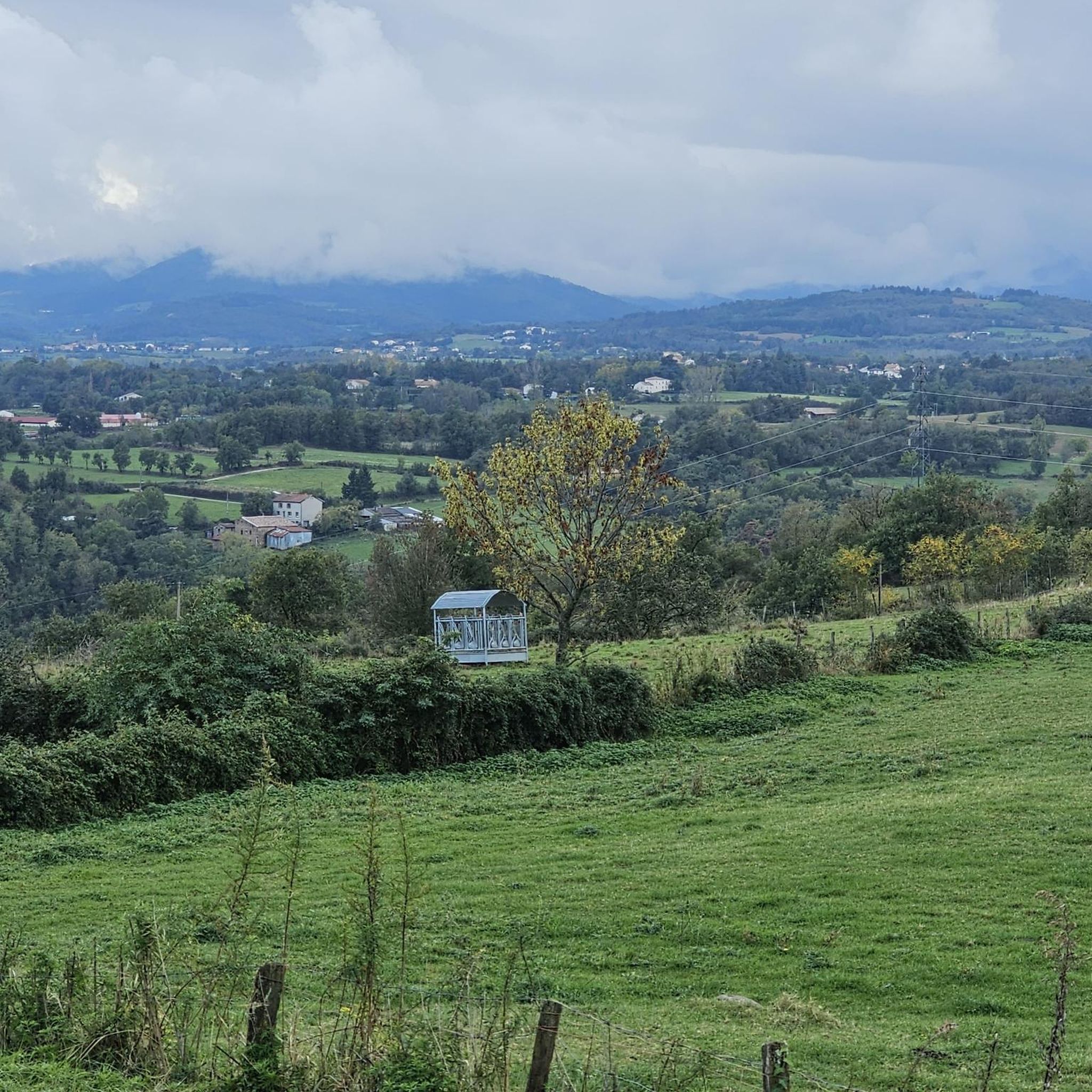
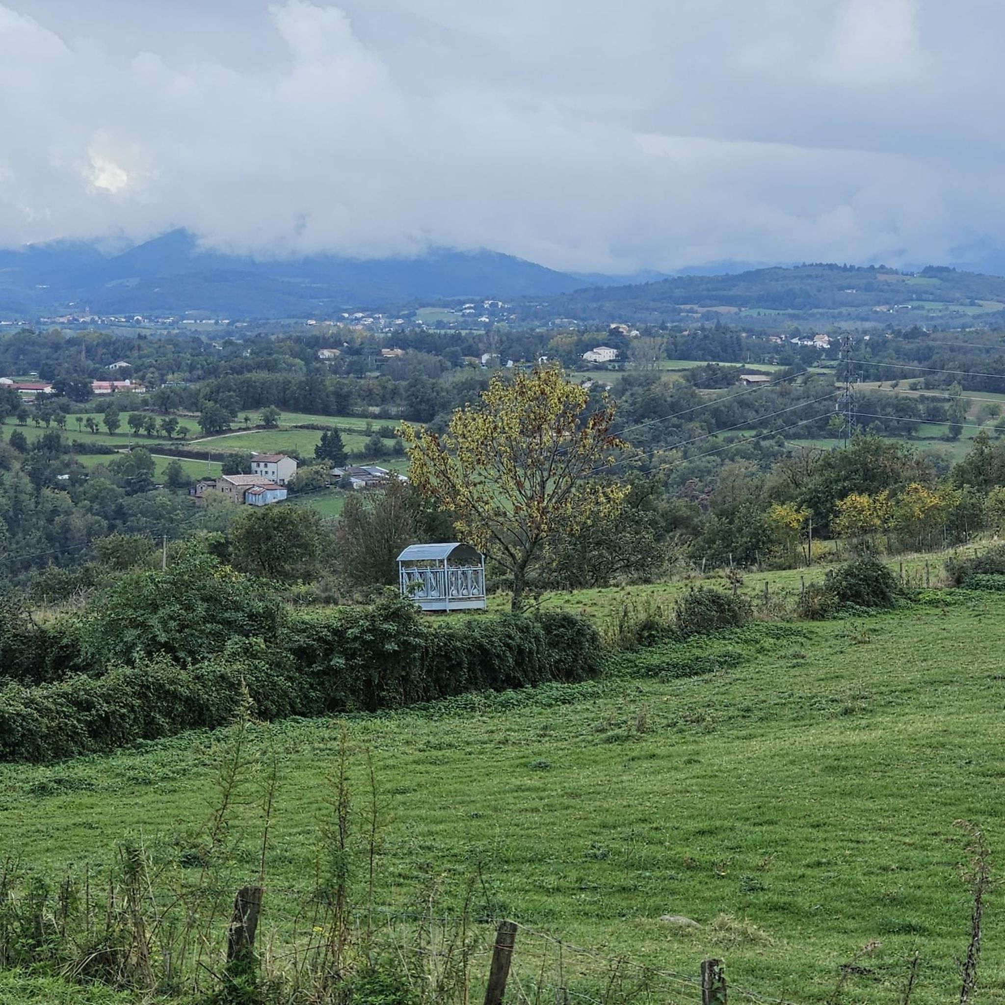
Superb view of Annonay and beyond!
0
0


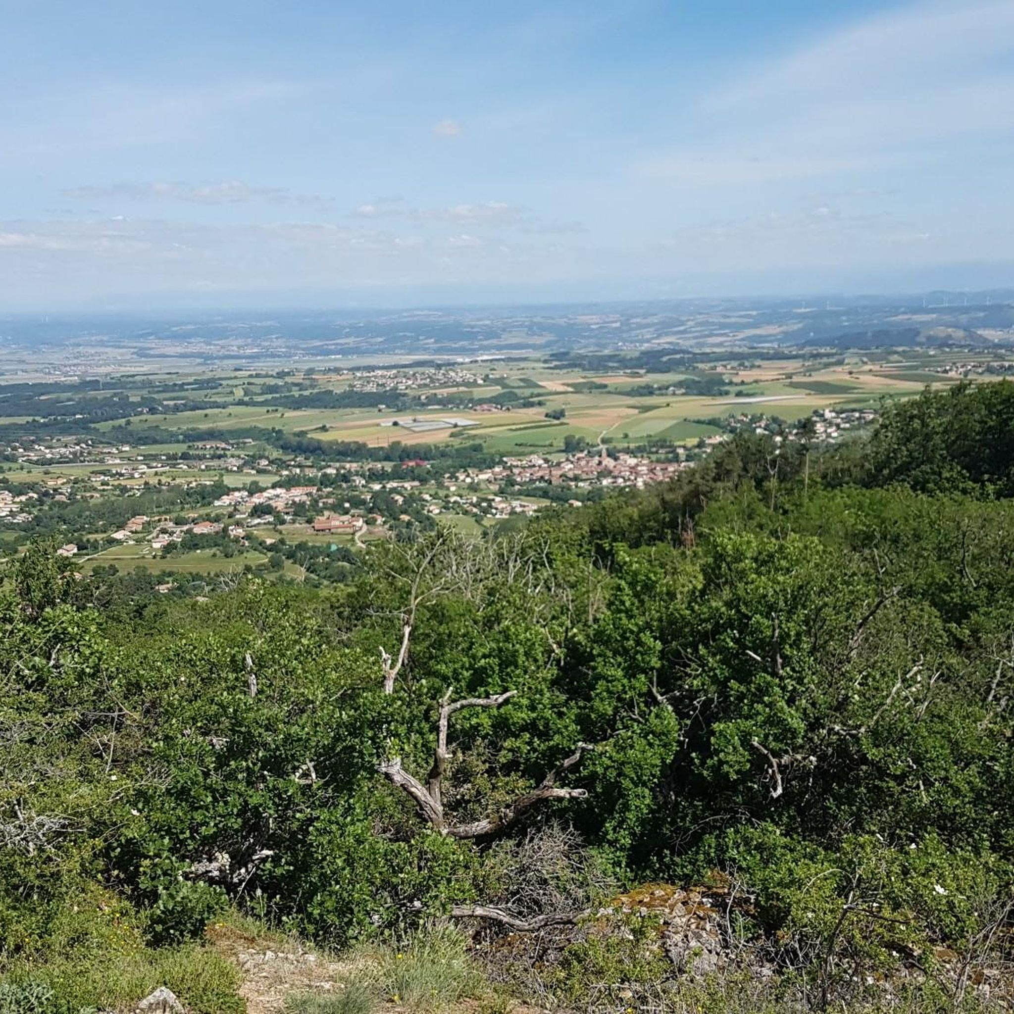
From its 915 meters, you can see through three valleys, the central massif and the Alps. Stunning panoramas.
3
0

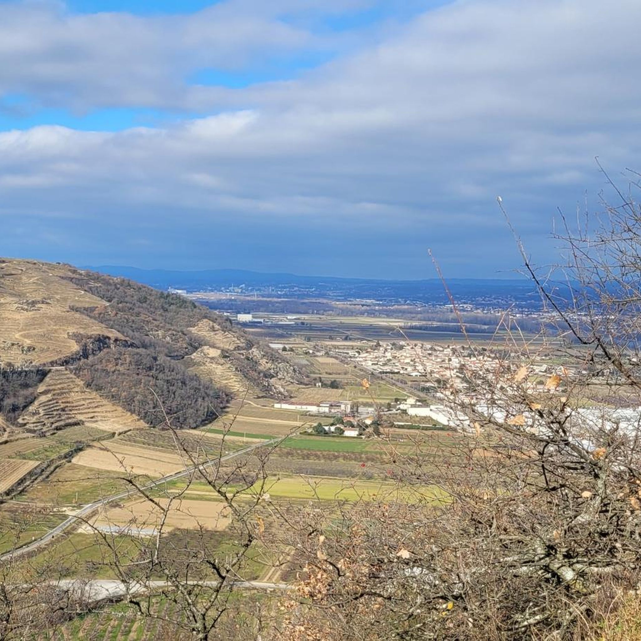
The Montmiandon towers over the city of Annonay at 679 meters above sea level. From this hill you have a fantastic view of the Annonay basin, the Rhone Valley and, if the visibility is good, the Vercors and the Alps.
2
0
Frequently Asked Questions
How many hiking trails are available around Davézieux?
Davézieux offers a comprehensive network of over 200 hiking routes. These trails cater to various fitness levels, ranging from easy strolls through agricultural landscapes to more challenging ascents with significant elevation gain.
What kind of landscapes can I expect to see while hiking in Davézieux?
Hiking around Davézieux provides a diverse experience, featuring panoramic viewpoints from elevated points like Montmiandon and Croix de Chirole, which offer extensive views of the Rhône Valley and even the Alps on clear days. You'll also find tranquil paths along river gorges, such as the Gorges et vallée de la Cance, and trails winding through a mix of forested areas and cultivated agricultural terrain.
Are there any family-friendly hiking options in Davézieux?
Yes, Davézieux has several routes suitable for families. The municipality itself has inaugurated local pedestrian routes, including two 5 km options, which are generally accessible. For a specific example, the "Boucle autour du Montmiandon avec vue sur Annonay" is an easy 6.34 km loop with moderate elevation, offering pleasant views and largely shaded paths, making it a good choice for families.
Are there any circular hiking routes in the Davézieux area?
Many of the hiking trails around Davézieux are circular, allowing you to start and end at the same point. For instance, the Hiking loop from Annonay is a popular 8.2 km moderate circular trail. Another option is the Boulieu-lès-Annonay – Boulieu loop from Boulieu-lès-Annonay, which is an 11.8 km moderate path.
What are the best trails for scenic viewpoints in Davézieux?
Davézieux is renowned for its panoramic views. The Chirole Cross – Railway Workers' Shelter loop from Boulieu-lès-Annonay is a challenging 17.6 km trail that leads to the Croix de Chirole, offering awe-inspiring panoramas across three valleys, the Massif Central, and potentially Mont Blanc. The Montmiandon also provides expansive views of the Annonay basin and the Rhône Valley.
What do other hikers say about the trails in Davézieux?
The hiking routes in Davézieux are highly regarded by the komoot community, holding an average rating of 4.6 stars from over 290 reviews. Hikers often praise the diverse landscapes, the rewarding panoramic views, and the well-maintained paths that traverse both forested and agricultural areas.
What interesting landmarks or natural attractions can I find near Davézieux while hiking?
While hiking near Davézieux, you can explore several notable attractions. The Gorges and the Cance Valley offer a beautiful river landscape with ancient bridges. The Chirole Cross is a significant viewpoint. Additionally, the Colline de Revirand features ruins of an ancient castle and historical terraces, adding a cultural dimension to your outdoor exploration.
Is it possible to access hiking trails in Davézieux using public transport?
While specific public transport connections directly to trailheads can vary, Davézieux is a local commune. It's advisable to check local bus schedules or regional transport options that connect to the main town or nearby villages like Annonay or Boulieu-lès-Annonay, from where many trails originate. Some local routes, like the Davez'Trail, start directly from the Church Square in Davézieux.
Are there designated parking areas for hikers in Davézieux?
Yes, many trailheads around Davézieux and its surrounding villages, such as Annonay and Boulieu-lès-Annonay, offer designated parking areas. For instance, the local Davez'Trail routes are accessible from the Church Square in Davézieux, where parking is typically available. When planning your hike, check the specific tour details on komoot for information on starting points and parking facilities.
What is the best time of year to go hiking in Davézieux?
The Davézieux region is enjoyable for hiking across multiple seasons. Spring and autumn offer pleasant temperatures and vibrant natural colors, making them ideal. Summer provides shaded options in forested areas, such as the undergrowth around Montmiandon, which can be a relief on warmer days. Winter hiking is also possible, though conditions may vary, especially at higher elevations like the Croix de Chirole.
Are dogs allowed on the hiking trails around Davézieux?
Generally, dogs are welcome on many hiking trails in the Davézieux region, especially on public footpaths. However, it's always recommended to keep them on a leash, particularly in agricultural areas with livestock or near protected natural sites. Specific regulations might apply in certain areas, so checking local signage or tour descriptions for any restrictions is advisable.
How long do hikes in Davézieux typically take?
Hiking durations in Davézieux vary significantly depending on the trail's length and difficulty. Easy walks, like the local 5 km Davez'Trail routes, can take around 1-1.5 hours. Moderate trails, such as the 8.2 km Hiking loop from Annonay, typically take about 2 hours 22 minutes. More challenging routes, like the 17.6 km Chirole Cross – Railway Workers' Shelter loop, can require over 5 hours to complete.
Most popular routes around Davézieux
Most popular attractions around Davézieux

Get inspired with the komoot mobile app


Explore more
Browse the best Hikes in other regions.
