The best running trails around Gugnécourt
4.0
(34)
675
runners
81
runs
Jogging around Gugnécourt offers a variety of routes through varied terrain. The region features a mix of rolling landscapes, including areas with notable rock formations and hills. Running routes often traverse woodlands and open country, providing diverse environments for runners.
Best jogging routes around Gugnécourt
- The most popular jogging route is Roches Charlot loop from Aydoilles, a 13.7 miles (22.1 km) trail that takes 2 hours 37 minutes to complete. This route features significant elevation gain, passing through the…
Last updated: July 18, 2026
33
runners
22.1km
02:37
270m
270m
Hard run. Very good fitness required. Mostly paved surfaces. Suitable for all skill levels.
4.0
(3)
10
runners
18.5km
02:11
250m
250m
Hard run. Very good fitness required. Mostly paved surfaces. Suitable for all skill levels.

Sign up for free
8
runners
10.4km
01:12
200m
200m
Moderate run. Good fitness required. Mostly paved surfaces. Suitable for all skill levels.
7
runners
6.66km
00:43
50m
50m
Moderate run. Good fitness required. Mostly paved surfaces. Suitable for all skill levels.
7
runners
8.41km
00:53
70m
70m
Moderate run. Good fitness required. Mostly paved surfaces. Suitable for all skill levels.
Get access to more routes and recommendations from other explorers.
Sign up for free
Already have an account?
Our route recommendations are based on thousands of hikes, rides, and runs completed by other people on komoot.
Start today with a free account
Your next adventure awaits.
Login or Signup



Tips from the Community

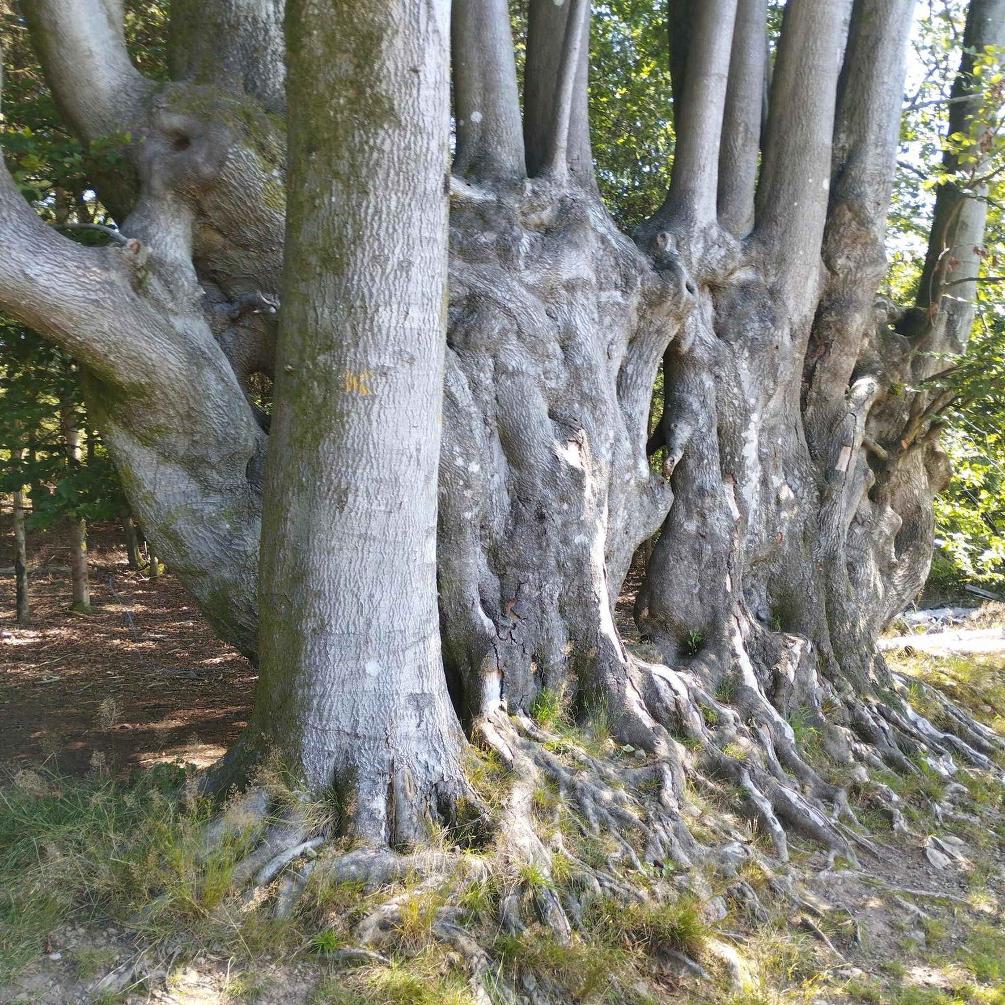
A great idea : having a forest path illustrated with big metal ants and short information about ants. Fun to do with kids, I imagine, and a nice forest walk if you stop by.
2
0
Frequently Asked Questions
How many running routes are available around Gugnécourt?
There are over 70 running routes in the Gugnécourt area, offering a wide range of options for different skill levels and preferences. These routes traverse varied terrain, including woodlands, open country, and areas with notable rock formations.
Are there easy or beginner-friendly jogging routes in Gugnécourt?
Yes, Gugnécourt offers several easier running options. For instance, the Running loop from Bult is a moderate 4.1-mile (6.6 km) trail, and the Running loop from Padoux is a moderate 4.9-mile (7.9 km) path, both suitable for those looking for less strenuous runs.
What kind of terrain can I expect on the running trails in Gugnécourt?
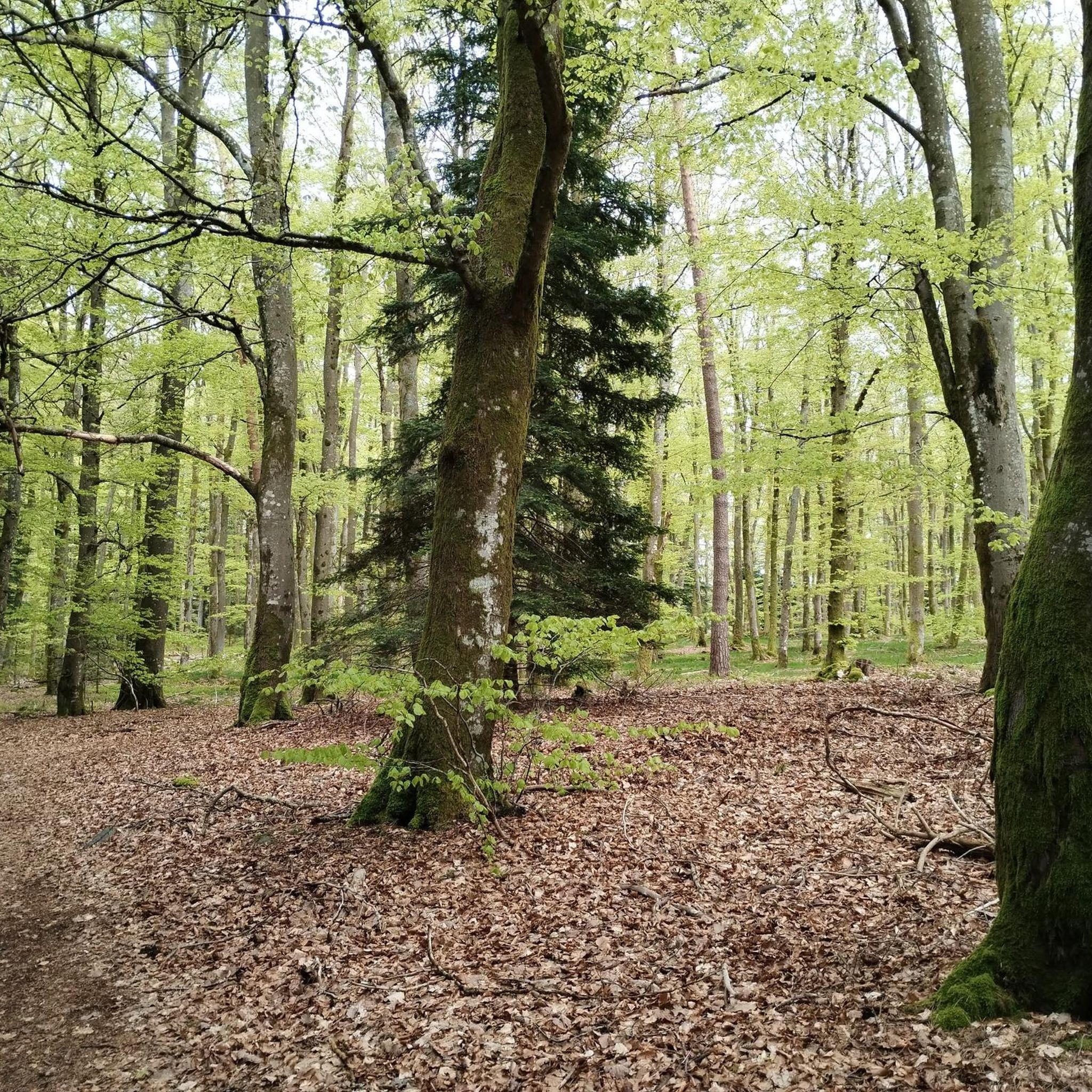
The running trails around Gugnécourt are characterized by varied terrain. You'll encounter rolling landscapes, significant rock formations like those near Roches Charlot, hills, woodlands, and open country. This diversity provides a dynamic and engaging experience for runners.
Are there any circular running routes in the Gugnécourt area?
Many of the running routes in Gugnécourt are circular, allowing you to start and finish at the same point. Examples include the challenging Roches Charlot loop from Aydoilles and the moderate Ant Mountain loop from Grandvillers.
What are the typical distances and durations for jogging routes in Gugnécourt?
Running routes in Gugnécourt vary significantly in length and duration. You can find shorter moderate loops like the 4.1-mile (6.6 km) Running loop from Bult which takes about 43 minutes, up to longer, more challenging trails such as the 13.7-mile (22.1 km) Roches Charlot loop from Aydoilles, which typically takes around 2 hours 37 minutes.
What do other runners say about the trails in Gugnécourt?
The running routes in Gugnécourt are highly rated by the komoot community, with an average score of 4.3 stars from over 20 reviews. Runners often praise the varied terrain, the scenic rock formations, and the opportunities to explore both woodlands and open country.
Are there any interesting landmarks or natural sights along the running routes?
Yes, the region around Gugnécourt offers several points of interest. You might encounter natural features like the Pointhaie Rocks or the Ant Mountain. Some routes also pass through areas with historical or cultural significance, such as near the Abbaye Notre-Dame d'Autrey.
Is Gugnécourt suitable for winter running?
While specific winter conditions can vary, the varied terrain of Gugnécourt, including woodlands and open country, can offer beautiful winter running experiences. It's always advisable to check local weather forecasts and trail conditions before heading out, especially after snowfall or during icy periods.
Are there any particularly challenging running routes for experienced runners?
Experienced runners will find several challenging options. The La Grenouille Rock Formation – Roches Charlot loop from Aydoilles is a difficult 11.5-mile (18.5 km) path that explores unique rock formations and features significant elevation changes, providing a demanding workout.
What is the best time of year to go running in Gugnécourt?
The diverse landscapes of Gugnécourt are enjoyable throughout the year. Spring and autumn offer pleasant temperatures and vibrant scenery, while summer provides longer daylight hours. Even winter can be beautiful, though conditions may require more preparation. Your preference for weather and foliage will determine the 'best' time for you.
Are there routes that offer good viewpoints or scenic vistas?
Given the rolling landscapes and hilly terrain, many routes in Gugnécourt offer scenic views. Trails that traverse areas like the Roches Charlot or Ant Mountain are likely to provide elevated perspectives of the surrounding countryside and woodlands.
Most popular routes around Gugnécourt
Most popular attractions around Gugnécourt

Get inspired with the komoot mobile app


Explore more
Browse the best Running Trails & Routes in other regions.
