The best walks and hikes around Viménil
4.5
(351)
1,568
hikers
78
hikes
Hiking around Viménil offers a landscape characterized by rolling hills and forested paths. The region features notable rocky outcrops, such as those found near Pointhaie, providing varied terrain for exploration. Moderate elevation changes are common, making the area accessible for different hiking abilities. Tranquil ponds and natural features contribute to the diverse scenery.
Best hiking trails around Viménil
- The most popular hiking route is The Rocks of Pointhaie Trail, a 3.8 miles (6.2 km) trail that takes 1 hour…
Last updated: October 8, 2026
4.5
(11)
61
hikers
2.63km
00:45
60m
60m
Easy hike. Great for any fitness level. Easily-accessible paths. Suitable for all skill levels.
5.0
(2)
24
hikers
6.10km
01:41
110m
100m
Easy hike. Great for any fitness level. Easily-accessible paths. Suitable for all skill levels.

4.5
(2)
16
hikers
4.34km
01:15
110m
110m
Easy hike. Great for any fitness level. Easily-accessible paths. Suitable for all skill levels.
5.0
(1)
16
hikers
2.59km
00:44
50m
50m
Easy hike. Great for any fitness level. Easily-accessible paths. Suitable for all skill levels.
4.0
(1)
14
hikers
13.6km
03:41
190m
190m
Moderate hike. Good fitness required. Easily-accessible paths. Suitable for all skill levels.
Get access to more routes and recommendations from other explorers.
Already have an account?
Our route recommendations are based on thousands of hikes, rides, and runs completed by other people on komoot.
Start today with a free account
Your next adventure awaits.

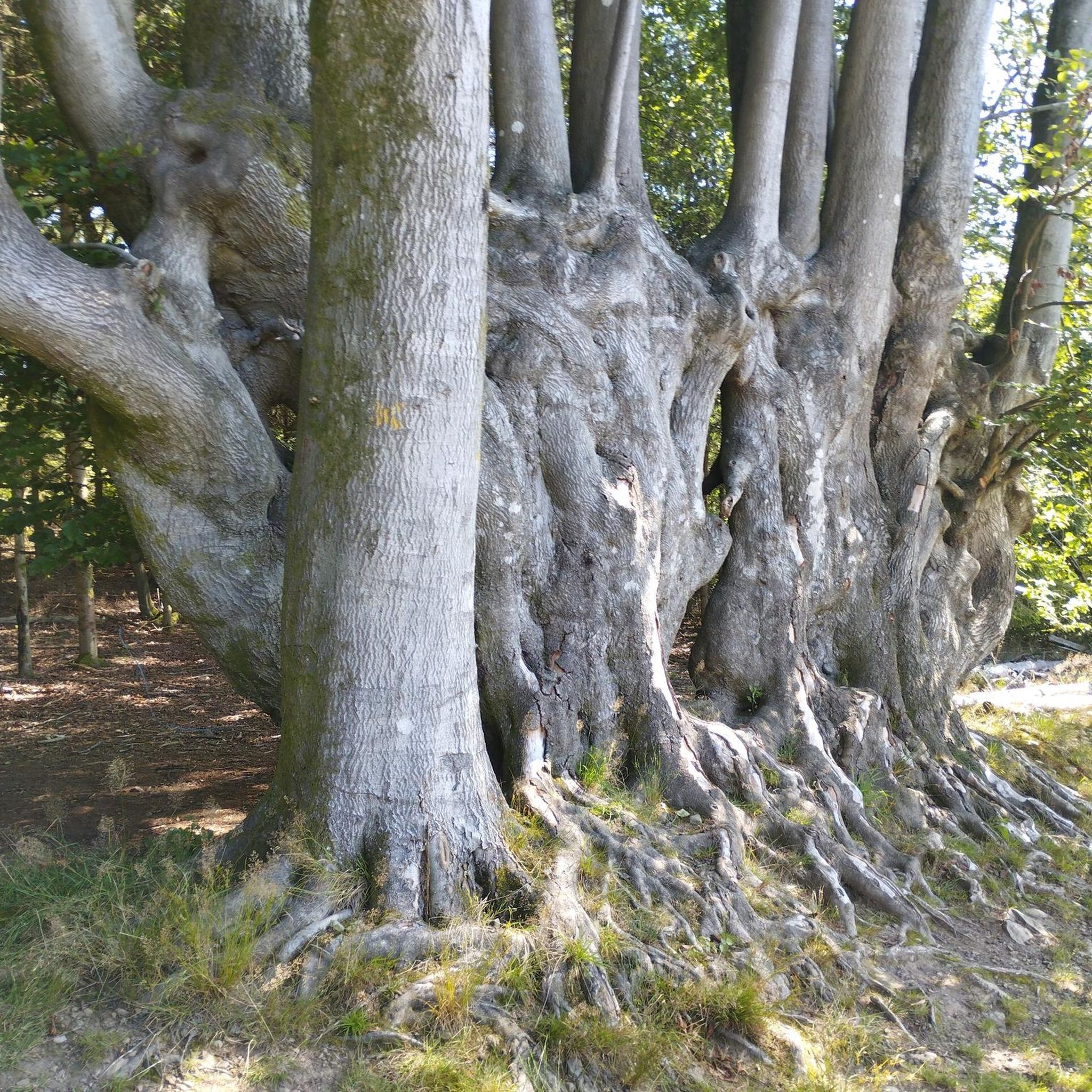
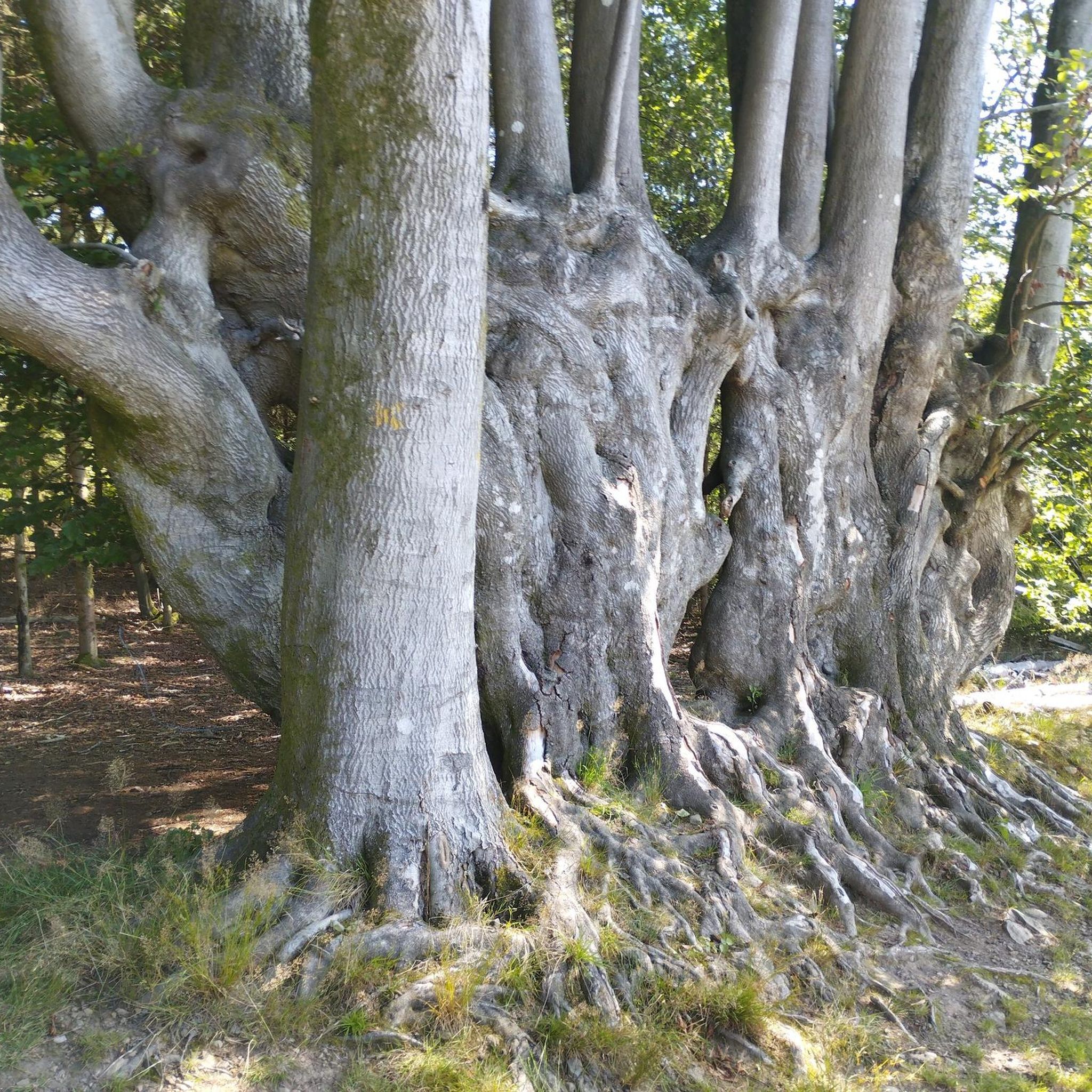
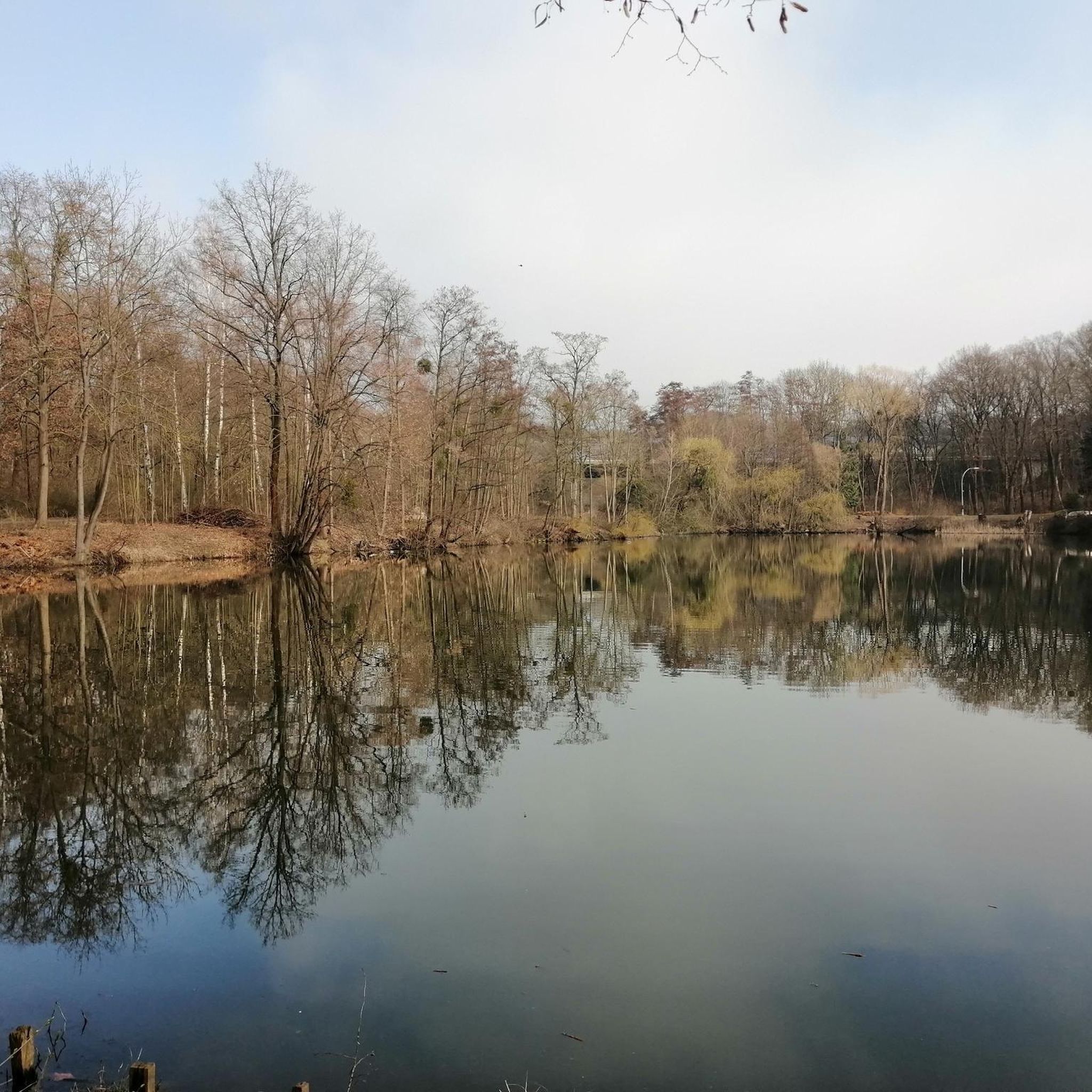
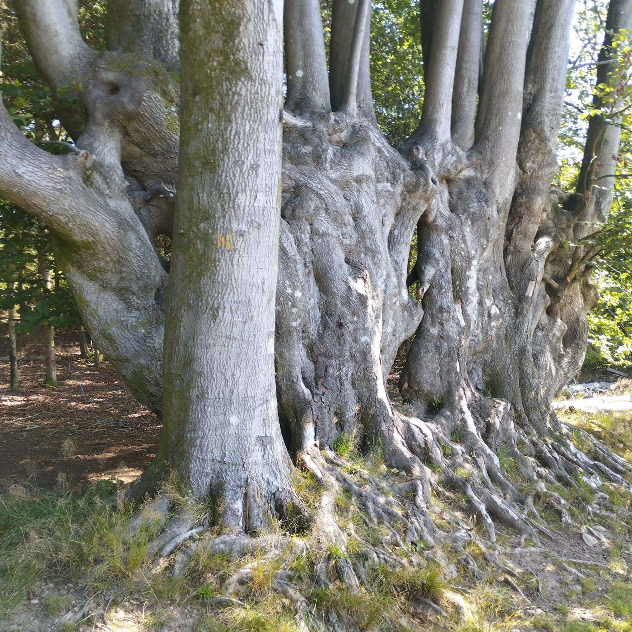
Tips from the Community

It is worth taking your picnic with you as there are many places with benches and beautiful views
1
0

Small fun trail of Bruyères ideal with children. But not accessible by stroller.
1
0

A great idea : having a forest path illustrated with big metal ants and short information about ants. Fun to do with kids, I imagine, and a nice forest walk if you stop by.
2
0
Frequently Asked Questions
How many hiking trails are available around Viménil?
Viménil offers a wide selection of hiking opportunities, with over 60 trails recorded. These routes cater to various preferences, from easy strolls to more challenging treks.
Are there easy hiking trails suitable for beginners in Viménil?
Yes, Viménil is very welcoming for beginners, with 24 easy trails available. An excellent option is The Rocks of Pointhaie Trail, which is 3.8 miles (6.2 km) long and explores the distinctive rocky landscape.
Can I find circular hiking routes in Viménil?
Absolutely. Many trails in Viménil are circular, allowing you to start and end at the same point. Consider the Pointhaie Rocks loop from Bruyères, an easy 2.9 miles (4.7 km) path offering views of the rock formations and woodlands.
Are the hiking trails around Viménil suitable for families with children?
Yes, the region's moderate elevation changes and numerous easy trails make it suitable for families. Routes like the Ant Mountain loop from Bruyères, at 3.3 miles (5.3 km), are generally well-suited for a family outing.
Are dogs allowed on the hiking trails in Viménil?
Generally, dogs are welcome on trails in the Viménil area, but it's always recommended to keep them on a leash, especially in forested areas or near wildlife. Please be mindful of local regulations and other hikers.
What kind of scenery can I expect on hikes around Viménil?
Hiking around Viménil offers a diverse landscape characterized by rolling hills, dense forested paths, and notable rocky outcrops, particularly near Pointhaie. You'll also encounter tranquil ponds and natural features that contribute to the varied scenery.
What are some interesting places to see or landmarks near the hiking trails?
Near the hiking trails, you can explore several interesting spots. The prominent Pointhaie Rocks are a natural monument, and the Abbaye Notre-Dame d'Autrey offers a historical point of interest.
What is the best time of year to go hiking in Viménil?
The spring and autumn months are generally ideal for hiking in Viménil, offering pleasant temperatures and beautiful natural colors. Summer is also popular, though some trails might be busier. Winter hiking is possible, but conditions can vary, so check local weather forecasts.
Are there options for less crowded hikes in Viménil?
While popular spots like Pointhaie can see more visitors, Viménil has over 60 trails, so it's possible to find quieter routes. Exploring some of the less-trafficked forest paths or visiting during off-peak hours can lead to a more serene experience.
What do other hikers say about the trails in Viménil?
The trails in Viménil are highly regarded by the komoot community, boasting an average rating of 4.6 stars from around 250 reviews. Hikers frequently praise the well-maintained paths, the scenic variety, and the distinctive rocky landscapes.
Are there any moderate or more challenging routes for experienced hikers?
Yes, for those seeking a bit more challenge, Viménil offers 37 moderate trails and 3 difficult ones. A moderate option is the The seven brothers – Ant Trail loop from Bruyères, an 8.9 km route with over 160 meters of elevation gain.
Is there parking available near the trailheads in Viménil?
Parking is generally available at or near the starting points of many popular trails and in nearby villages like Bruyères. It's advisable to check specific route details on komoot for parking information, especially for less-known trailheads.
What should I wear or bring for hiking in Viménil?
For hiking in Viménil, wear comfortable, layered clothing suitable for the weather conditions. Sturdy hiking shoes are recommended due to varied terrain, including rocky sections. Always bring water, snacks, a map or GPS device, and sun protection.
Most popular attractions around Viménil

Get inspired with the komoot mobile app


Explore more
Browse the best Hikes in other regions.
