The best walks and hikes around Saint-Loup
4.2
(119)
764
hikers
42
hikes
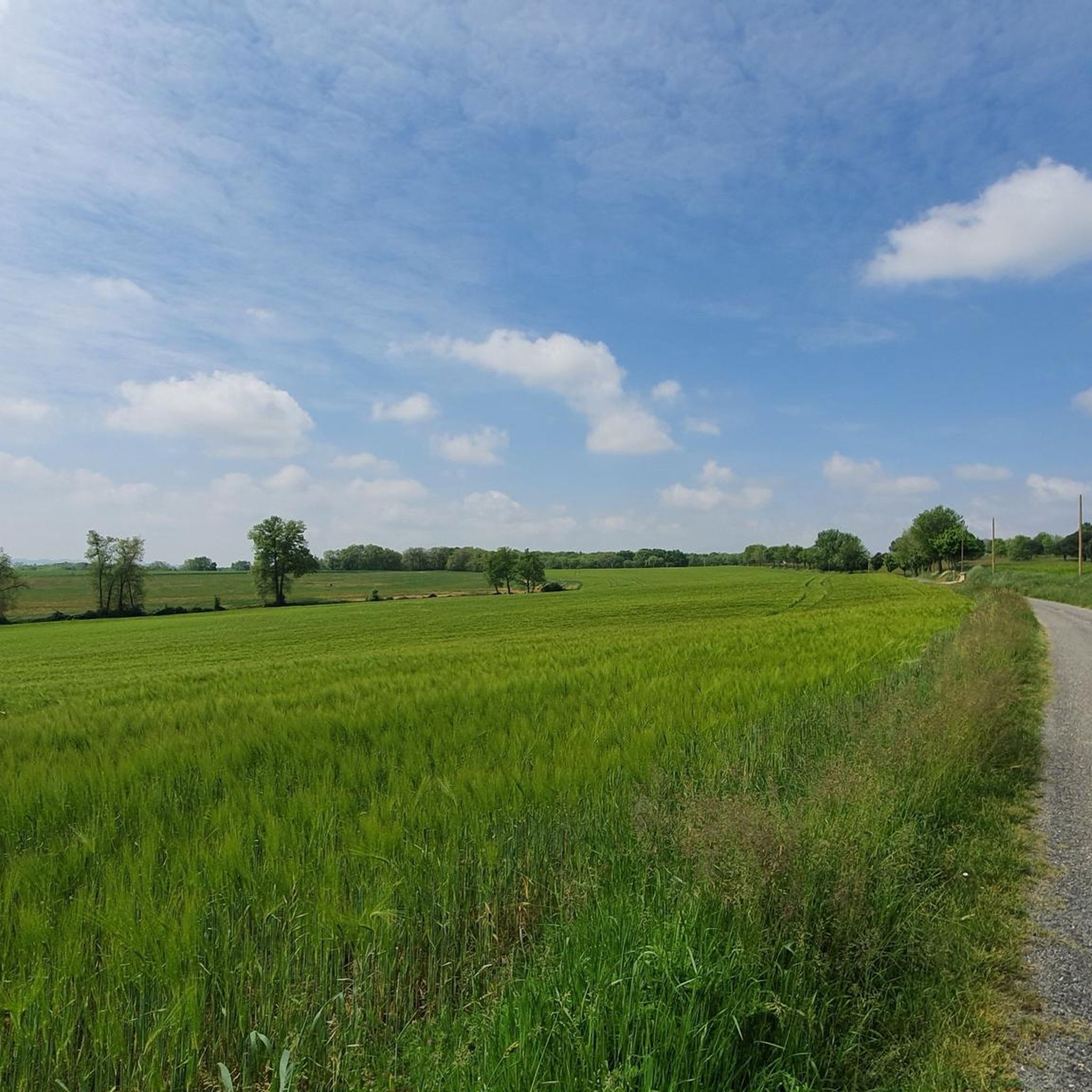
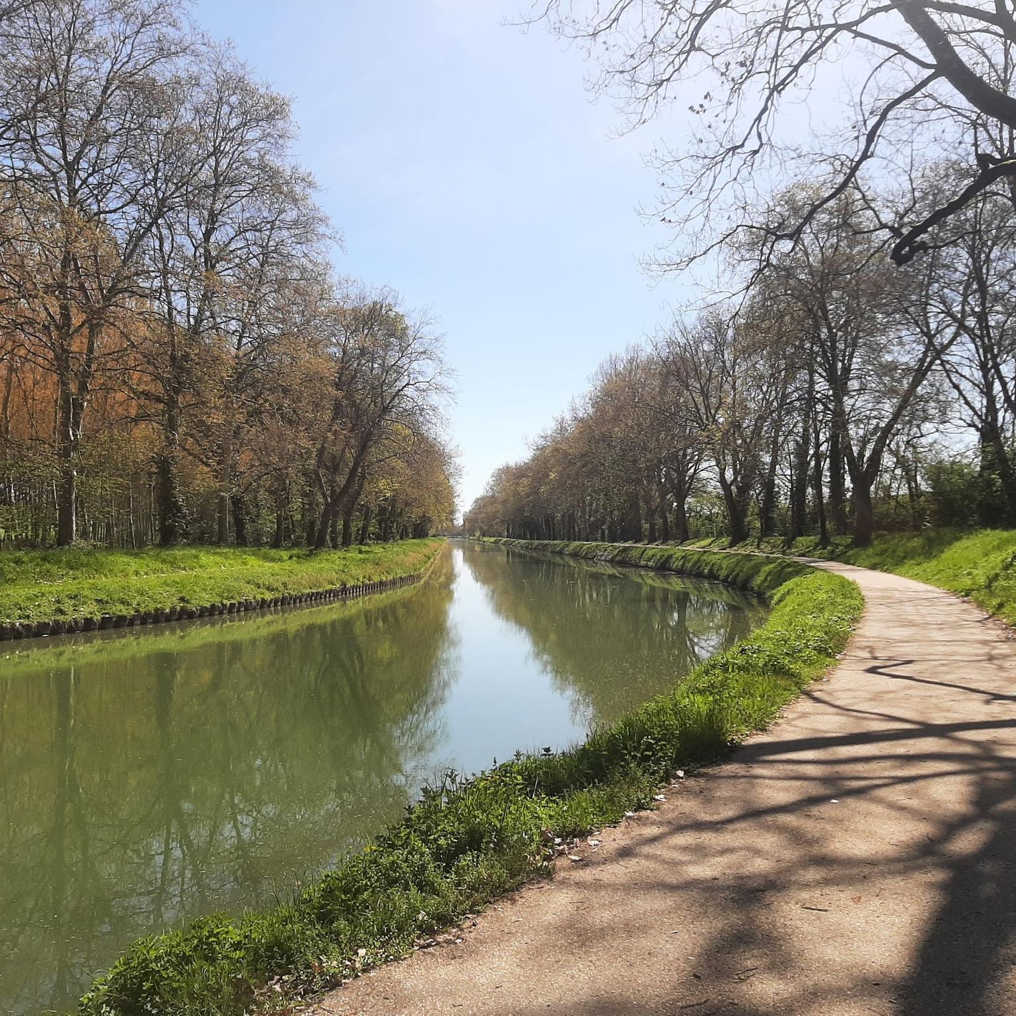
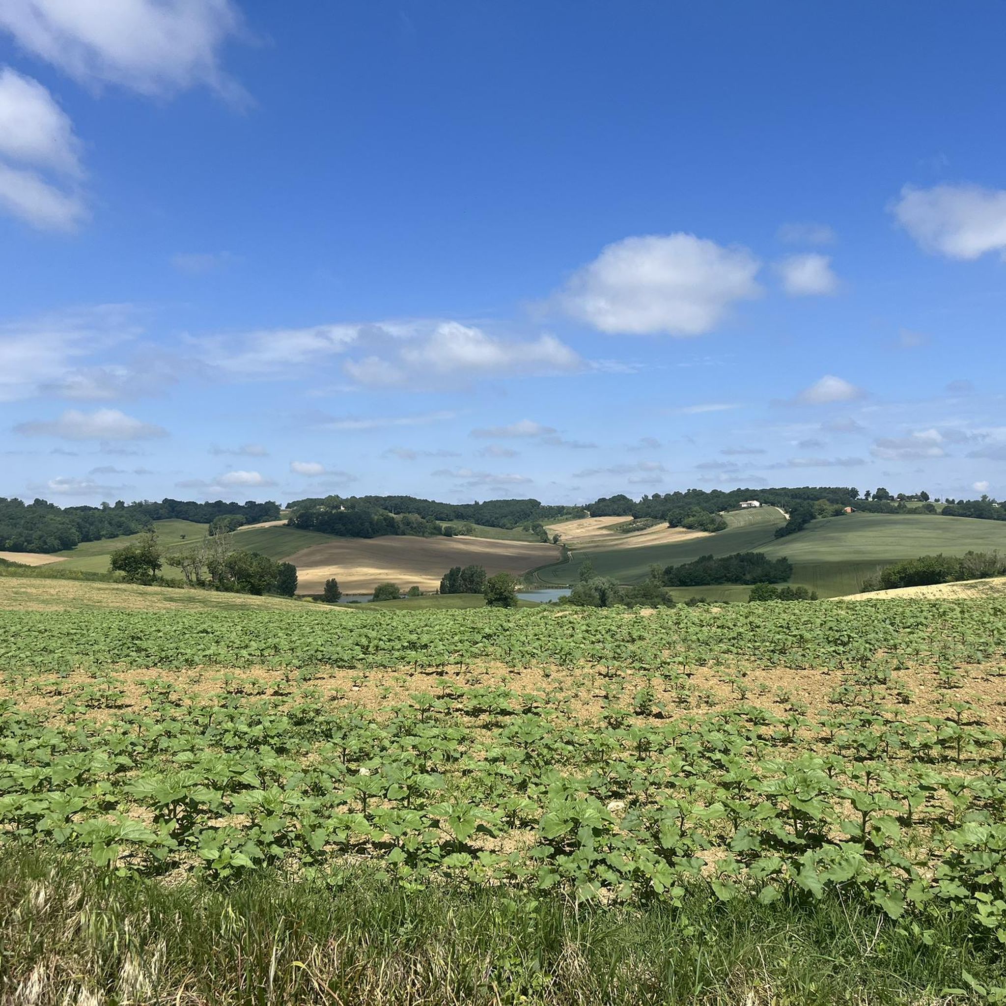
Hiking around Saint-Loup explores the rolling landscapes of southwestern France, characterized by river valleys, agricultural plains, and gentle hills. The region features a mix of open fields, vineyards, and woodlands, often following the course of the Garonne river. Trails frequently connect charming villages and offer views of the surrounding countryside.
Best hiking trails around Saint-Loup
- The most popular hiking route is Auvillar – Auvillar Circular Market Hall loop from Auvillar, a 6.7 miles (10.7 km) trail that takes 2…
Last updated: July 9, 2026
5.0
(2)
20
hikers
10.7km
02:58
200m
200m
Moderate hike. Good fitness required. Easily-accessible paths. Suitable for all skill levels.
4.0
(5)
23
hikers
29.0km
07:49
370m
370m
Hard hike. Very good fitness required. Easily-accessible paths. Suitable for all skill levels.

Sign up for free
4.0
(1)
9
hikers
4.98km
01:25
110m
110m
Easy hike. Great for any fitness level. Easily-accessible paths. Suitable for all skill levels.
4.0
(2)
4
hikers
5.80km
01:36
100m
100m
Easy hike. Great for any fitness level. Easily-accessible paths. Suitable for all skill levels.
3
hikers
10.3km
02:37
30m
30m
Moderate hike. Good fitness required. Easily-accessible paths. Suitable for all skill levels.
Get access to more routes and recommendations from other explorers.
Sign up for free
Already have an account?
Our route recommendations are based on thousands of hikes, rides, and runs completed by other people on komoot.
Start today with a free account
Your next adventure awaits.
Login or Signup
Tips from the Community

On the entrance gates of Lamotte Castle, look for the coat of arms of the Esparbès family. Interestingly, these same motifs can also be found on the radiator caps of American Cadillac cars. This coat of arms was, in fact, borrowed from Antoine Laumet, a native of Saint-Nicolas-de-la-Grave and founder of the city of Detroit in 1701, who usurped his title of nobility by calling himself Antoine de la Motte de Cadillac. Two and a half centuries later, the American company based in Detroit used the coat of arms of its city's founder, along with part of his name.
0
0


For lovers of regional products, a farmers' market takes place every Sunday morning under the market hall!
3
0
The village of Auvillar, which overlooks the Garonne valley from its hill, is a stopping point on the road to Santiago de Compostella and has the special feature of being included on the list of most beautiful villages in France.
3
0
The area of Auvillar is 15.6 km², the population density is 63.7 inhabitants per km².
3
0
Auvillar is a municipality in the French department of Tarn-et-Garonne (region Occitanie) and has 994 inhabitants (2004). The town is part of the arrondissement of Castelsarrasin. Auvillar has been recognized by Les Plus Beaux Villages de France as one of the most beautiful villages in France
3
0

Auvillar is classified among the Most Beautiful Villages of France. The village offers many accommodations and several restaurants.
0
0
Auvillar is classified among the Most Beautiful Villages of France. The village offers many accommodations and several restaurants.
0
1
Frequently Asked Questions
How many hiking trails are available around Saint-Loup?
There are over 40 hiking routes available around Saint-Loup, offering a variety of experiences for different skill levels. These trails explore the region's river valleys, agricultural plains, and charming villages.
What kind of terrain can I expect on hikes in Saint-Loup?
The terrain around Saint-Loup is characterized by rolling landscapes, gentle hills, and river paths, often following the course of the Garonne river. You'll encounter a mix of open fields, vineyards, and woodlands, with trails connecting various villages.
Are there easy hiking trails suitable for beginners in Saint-Loup?
Yes, Saint-Loup offers a good selection of easy hiking trails. Approximately 11 of the available routes are classified as easy, perfect for beginners or those looking for a relaxed stroll. An example is the Saint Peter's Church – Auvillar loop from Auvillar, which is under 5 km.
Can I find longer, more challenging hikes in the Saint-Loup area?
Absolutely. For experienced hikers seeking a challenge, Saint-Loup features 6 difficult routes. One notable long-distance option is the Auvillar Circular Market Hall – View of the Garonne loop from Auvillar, which spans over 29 km and offers extensive views of the Garonne river valley.
Are there any circular walking routes in Saint-Loup?
Yes, many of the trails in Saint-Loup are designed as circular routes, allowing you to start and end in the same location. A popular moderate circular route is the Auvillar – Auvillar Circular Market Hall loop from Auvillar, covering about 10.7 km.
What interesting landmarks or attractions can I see along the hiking trails?
The hiking trails often connect charming villages and pass by historical sites. You can explore landmarks such as the Auvillar Circular Market Hall, Saint-Saturnin Church, or the Saint-Antoine Chapel of Saint-Antoine. Many routes also offer views of the Suspension bridge over the Garonne.
What do other hikers enjoy most about hiking in Saint-Loup?
The hiking experience in Saint-Loup is highly rated by the komoot community, with an average score of 4.3 stars from over 120 reviews. Hikers often praise the region's diverse terrain, the peaceful river paths, and the opportunity to connect between charming villages.
Is Saint-Loup a good destination for family-friendly walks?
Given the presence of numerous easy and moderate trails, Saint-Loup is suitable for family-friendly walks. The rolling landscapes and village connections provide pleasant and accessible options for families to explore together.
What is the best season for hiking in Saint-Loup?
As Saint-Loup is located in southwestern France, spring and autumn generally offer the most pleasant hiking conditions with mild temperatures and beautiful scenery. Summer can be warm, especially in open agricultural areas, while winter offers cooler, quieter walks.
Are there options for parking when accessing hiking trails in Saint-Loup?
While specific parking information for each trailhead isn't detailed, trails often start from or pass through villages like Auvillar. It's generally advisable to look for public parking areas within these villages, which typically cater to visitors.
Can I access hiking trails in Saint-Loup using public transport?
Information on specific public transport links directly to trailheads is not provided. However, many routes connect villages, suggesting that local bus services might offer access to some starting points. Planning your route in advance and checking local transport schedules is recommended.
Most popular attractions around Saint-Loup

Get inspired with the komoot mobile app


Explore more
Browse the best Hikes in other regions.
