The best walks and hikes around Thuré
4.3
(174)
906
hikers
71
hikes
Hiking around Thuré offers a diverse landscape characterized by forests, rivers, and rolling hills within the Vienne department. The region features varied terrain, including paths along the Vienne River and around local lakes such as Saint-Cyr Lake. Elevation changes are generally gentle, making many routes accessible for different fitness levels.
Best hiking trails around Thuré
- The most popular hiking route is Châtellerault Forest and Forest, a 7.5 miles (12.0 km) trail that takes about 3 hours 7 minutes to…
Last updated: August 31, 2026
4.4
(9)
36
hikers
12.0km
03:07
70m
70m
Hike a moderate 7.5-mile (12.0 km) loop through Forêt Domaniale de Châtellerault and around the scenic Lac de la Forêt.
3.2
(5)
3
hikers
8.94km
02:22
90m
90m
Hike the moderate 5.6-mile Donjon du Haut Clairvaux loop for historical insights and panoramic views from the ancient keep.

Sign up for free
8
hikers
5.02km
01:17
20m
20m
Easy hike. Great for any fitness level. Easily-accessible paths. Suitable for all skill levels.
3.0
(1)
4
hikers
4.94km
01:19
50m
50m
Easy hike. Great for any fitness level. Easily-accessible paths. Suitable for all skill levels.
4
hikers
7.80km
02:08
110m
110m
Moderate hike. Good fitness required. Easily-accessible paths. Suitable for all skill levels.
Get access to more routes and recommendations from other explorers.
Sign up for free
Already have an account?
Our route recommendations are based on thousands of hikes, rides, and runs completed by other people on komoot.
Start today with a free account
Your next adventure awaits.
Login or Signup

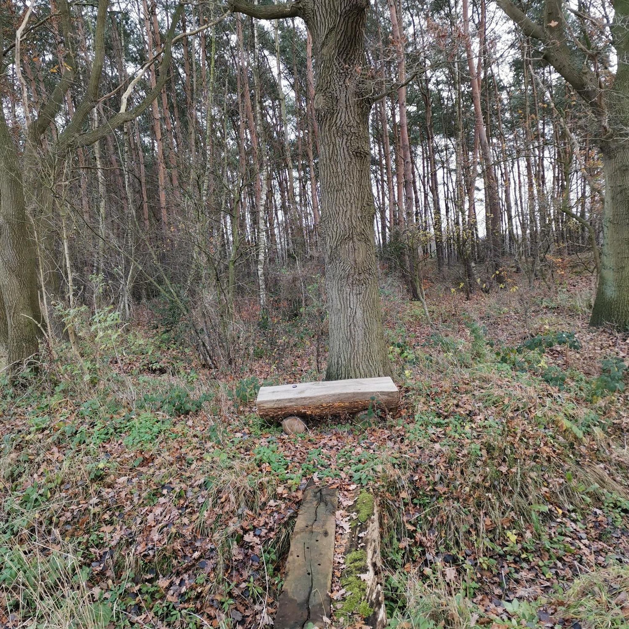



Tips from the Community

The history of the Châtellerault dam on the Vienne river, located at the site of the former weapons factory (Manufacture d’armes), is particularly interesting as it is directly linked to the industrialization of the town. 1. A first dam for the Manufacture The first structure was built around 1824, shortly after the creation of the Châtellerault weapons factory in 1819-1822. Its primary objective was not to produce electricity: it was to provide hydraulic power to the Manufacture and to regulate the level of the Vienne necessary for its installations. Administrative sources do indicate a dam built in 1824, intended to supply the Manufacture. The presence of this dam is therefore closely linked to the spectacular industrial development of Châtellerault in the 19th century. 2. The dam then plays a role in water supply The dam also gained importance for the town's water supply. After 1864, when the Manufacture no longer opposed the use of the Vienne's water, the town installed a pumping station near the dam. Hydraulic rams and then, from 1879, a steam engine, made it possible to pump water to the reservoirs and fountains of Châtellerault. It is therefore a site where three stories intersect: - the weapons factory; - water supply; - and then electricity production. 3. Transformation into a hydroelectric power plant The major turning point occurred at the beginning of the 20th century. A hydroelectric power plant was built from 1918 and commissioned in 1921, for the Société des Forces Motrices de la Vienne. The associated dam measures approximately 207 m and creates a head of 11.50 m. The power reached about 10,000 hp in 1926. There are also plans preserved at the Defence Historical Service (Service historique de la Défense) concerning precisely the dam, the spillway, the gates, and the hydroelectric power plant, dated notably from 1916 to 1928. 4. Destruction in 1944 The dam and hydroelectric installations were destroyed in 1944, during the fighting and the withdrawal of German forces. They were then rebuilt in 1952. This reconstruction partly explains why the structure we see today does not exactly correspond to the dam of the 1920s. 5. Since 1967: EDF In 1967, EDF took over the operation of the hydraulic power plant. Since then, the dam has mainly served the function of hydroelectric power production. A point of interest: this dam is not a flood control structure Despite its presence on the Vienne, it should not be equated with a large dam intended to protect Châtellerault against floods. Its storage capacity is relatively small and its role is essentially linked to electricity production and maintaining a water level. PPRI (Flood Risk Prevention Plan) documents specify that its influence is negligible during very large floods, such as those of 1913 or 1944. Simplified chronology -1824: Construction of the first dam for the Manufacture -1864-1879: Use for the water supply of Châtellerault -1918: Start of construction of the hydroelectric power plant -1920-1921: Commissioning of the hydroelectric installation -1926: power of approximately 10,000 hp -1944: The history of the Châtellerault dam on the Vienne river, located at the site of the former weapons factory, is particularly interesting as it is directly linked to the industrialization of the town.
0
0

The forest lake is an ideal place for walkers. With its beaches and picnic areas, it is a highlight of the national forest.
3
0
Dungeon and castle chapel which are the remains of a castle fortified by Richard Coeur de Lion. The site is the place of archaeological excavations.
2
0

Dungeon and castle chapel which are the remains of a castle fortified by Richard Coeur de Lion. The site is the place of archaeological excavations.
1
0

Beautifully landscaped bathing lake with park-like grounds.
1
0
Frequently Asked Questions
How many hiking trails are available around Thuré?
Thuré offers a good selection of routes for hikers, with over 70 marked trails. These range from easy strolls to more moderate excursions, ensuring options for various fitness levels.
What is the general terrain like for hiking near Thuré?
The hiking terrain around Thuré is characterized by diverse landscapes, including peaceful forests, paths along the Vienne River, and routes around local lakes such as Saint-Cyr Lake. The area features rolling hills with generally gentle elevation changes, making many routes accessible and enjoyable.
What do other hikers say about the trails around Thuré?
The trails around Thuré are highly regarded by the komoot community, boasting an average rating of 4.4 out of 5 stars from over 120 reviews. More than 500 hikers have explored the area using komoot, often praising the blend of natural scenery and cultural points of interest.
Are there any circular hiking routes near Thuré?
Yes, Thuré offers several excellent circular routes. A popular choice is the Lac de la Forêt loop from Grand Châtellerault, which takes you through forest and lakeside scenery. Another option is the Haut-Clairvaux Keep Loop, which combines natural beauty with historical elements.
Are there easy hiking options suitable for beginners or families in Thuré?
Absolutely. Approximately half of the trails around Thuré are rated as easy, making them ideal for beginners, families, or those seeking a relaxed walk. An example is the Chatellerault dam loop from Châtellerault, which is a shorter, gentle route.
What natural features can I expect to see while hiking near Thuré?
Hikers in Thuré can enjoy a variety of natural features, including dense forests, the meandering Vienne River, and tranquil lakes like Saint-Cyr Lake. The region's rolling green hills provide picturesque backdrops for your outdoor adventures.
Are there any interesting landmarks or historical sites along the hiking trails?
Yes, many trails near Thuré blend natural beauty with cultural discovery. You might encounter charming villages, medieval castles, and other historical elements. For instance, the Haut-Clairvaux Keep is a notable historical landmark that can be explored on certain routes.
Are there any specific attractions or points of interest near Thuré that I can visit?
Beyond the trails, Thuré is close to several interesting attractions. You can explore historical sites like the Gallo-Roman Theatre of Old Poitiers or the unique Troglodytes. The town of Châtellerault also offers cultural insights, and the St-Cyr Lake provides a pleasant natural setting.
Are the hiking trails around Thuré suitable for dogs?
Many trails in the Thuré region, particularly those through forests and along riverbanks, are generally dog-friendly. However, it's always recommended to keep your dog on a leash, especially in areas with wildlife or near agricultural land, and to check specific trail regulations if available.
Is there parking available at the trailheads around Thuré?
While specific parking information for every trailhead isn't always detailed, many popular hiking areas and starting points in the Thuré region, especially near towns or attractions like Saint-Cyr Lake, typically offer designated parking facilities. It's advisable to check local signage upon arrival.
What is the best time of year to go hiking in Thuré?
The best time to hike in Thuré is generally during spring, summer, and early autumn. These seasons offer pleasant temperatures and lush scenery, making for comfortable and enjoyable walks through forests and along waterways. Winter hiking is possible but can be cooler and potentially muddy.
Are there any challenging hikes around Thuré?
While Thuré offers a good number of moderate trails, such as the Châtellerault Forest and Forest route, the region is primarily known for its accessible and gentle terrain. There are no trails classified as difficult, making it more suitable for those seeking enjoyable walks rather than strenuous climbs.
Most popular attractions around Thuré

Get inspired with the komoot mobile app


Explore more
Browse the best Hikes in other regions.
