The best walks and hikes around Merles
4.2
(142)
947
hikers
36
hikes
Hiking trails around Merles are primarily situated within the Tarn-et-Garonne department in southern France, characterized by a landscape shaped by the Garonne River and its tributaries. The region features a generally low average elevation, with routes often traversing agricultural lands, riverbanks, and small village areas. While not mountainous, the terrain includes gentle ascents and descents, offering varied perspectives of the rural environment. The area provides opportunities for exploring the local hydrography and the historical context of towns like Castelsarrasin and…
Last updated: June 29, 2026
4.5
(13)
113
hikers
29.2km
07:24
70m
70m
Hard hike. Very good fitness required. Easily-accessible paths. Suitable for all skill levels.
5.0
(3)
32
hikers
11.5km
03:10
190m
190m
Moderate hike. Good fitness required. Easily-accessible paths. Suitable for all skill levels.

Sign up for free
5.0
(2)
20
hikers
10.7km
02:58
200m
200m
Moderate hike. Good fitness required. Easily-accessible paths. Suitable for all skill levels.
3.0
(1)
22
hikers
11.1km
02:49
30m
30m
Moderate hike. Good fitness required. Easily-accessible paths. Suitable for all skill levels.
4.3
(3)
30
hikers
24.2km
06:33
310m
310m
Hard hike. Very good fitness required. Easily-accessible paths. Suitable for all skill levels.
Get access to more routes and recommendations from other explorers.
Sign up for free
Already have an account?
Our route recommendations are based on thousands of hikes, rides, and runs completed by other people on komoot.
Start today with a free account
Your next adventure awaits.
Login or Signup
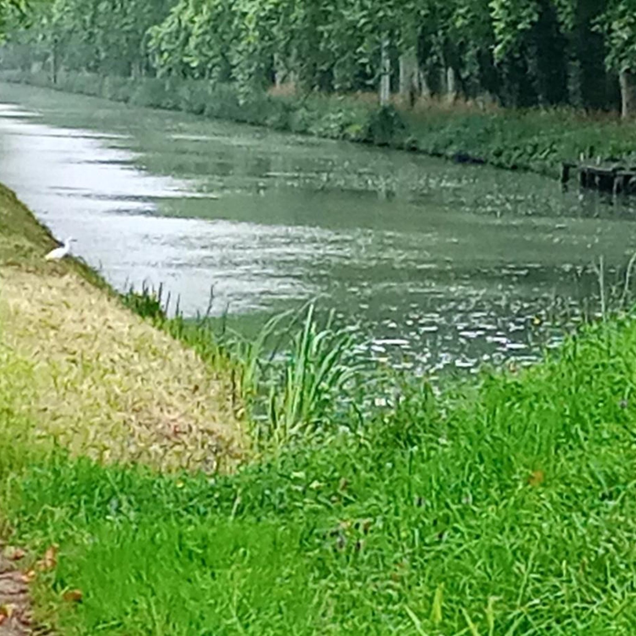
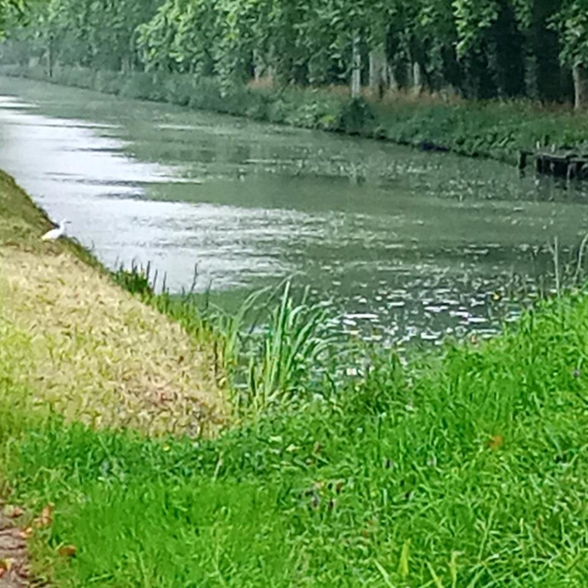

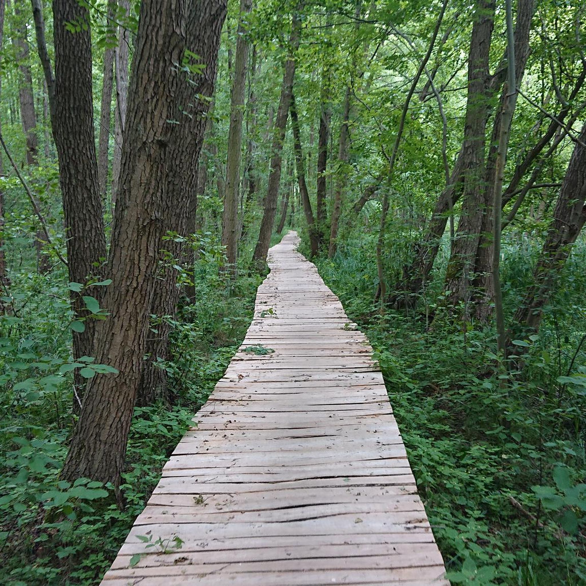
Tips from the Community

Are you a fan of bridges? No? It doesn't matter, go see it anyway, it's very beautiful.
0
0

A very nice route with varied landscapes. Possibility of leaving from Moissac center to exceed 20km.
1
0

Great medieval frescoes and a unique cloister
0
0

Beautiful abbey. There is also a hostel for pilgrims attached, where you can also find the stamp to put on your credentials.
4
0


For lovers of regional products, a farmers' market takes place every Sunday morning under the market hall!
3
0
The village of Auvillar, which overlooks the Garonne valley from its hill, is a stopping point on the road to Santiago de Compostella and has the special feature of being included on the list of most beautiful villages in France.
3
0
The area of Auvillar is 15.6 km², the population density is 63.7 inhabitants per km².
3
0
Frequently Asked Questions
How many hiking trails are available around Merles?
There are nearly 40 hiking trails available around Merles, offering a variety of options for different skill levels and preferences. The komoot community has explored these routes over 700 times.
Are there easy hiking trails suitable for beginners in Merles?
Yes, Merles offers 10 easy hiking trails, perfect for beginners or those looking for a relaxed walk. These routes typically feature gentle terrain, often following riverbanks or agricultural paths, making them accessible for most.
What kind of terrain can I expect on hikes around Merles?
The terrain around Merles is primarily characterized by a low average elevation, with routes often traversing agricultural lands, riverbanks of the Garonne River and its tributaries, and small village areas. While not mountainous, you'll find gentle ascents and descents, providing varied perspectives of the rural environment.
Are there any circular walks available in Merles?
Yes, many routes around Merles are designed as circular walks. For example, the Auvillar – Auvillar Circular Market Hall loop from Auvillar is a popular moderate trail that brings you back to your starting point after exploring rural landscapes and the historic village of Auvillar.
What interesting places can I see along the hiking trails in Merles?
Hiking around Merles offers opportunities to explore local history and charming villages. You can discover landmarks such as the Cacor Canal Bridge, the historic town of Moissac with its renowned Saint Peter's Abbey Church and Cloister, and the unique Auvillar Circular Market Hall.
What do other hikers enjoy most about hiking in Merles?
The hiking routes in Merles are highly rated by the komoot community, with an average score of 4.2 stars. Hikers often praise the blend of natural riverine paths, peaceful agricultural fields, and the charm of small village circuits, offering a balanced experience of nature and culture.
Are there any longer, more challenging hikes in the Merles region?
Yes, for those seeking a greater challenge, Merles offers several difficult routes. An example is the Moissac Canal – Moissac loop from Castelsarrasin, which covers a significant distance and elevation, providing a more strenuous experience.
Is it possible to access hiking trails in Merles using public transport?
While specific public transport links directly to trailheads can vary, many routes start from towns like Castelsarrasin and Auvillar, which may have regional bus or train connections. It's advisable to check local transport schedules for these towns to plan your access.
Are there any hikes that follow the Garonne River or canals?
Absolutely. The region's hydrography, including the Garonne River and its tributaries, is a defining feature. Routes like the Moissac – Moissac Canal loop from Castelsarrasin specifically follow the historic canal, offering scenic views along the waterways.
What is the best time of year to go hiking in Merles?
Given the generally low elevation and rural landscape, spring and autumn are often ideal for hiking in Merles. The weather is typically mild, and the natural scenery is vibrant, with blooming flowers in spring or colorful foliage in autumn. Summers can be warm, so early morning or late afternoon hikes are recommended then.
Are there any moderate hikes that offer good views of the countryside?
Yes, a popular moderate route is the Boudou Bridge loop from Castelsarrasin. This path offers excellent views of the Garonne River and the surrounding countryside, providing a rewarding experience without being overly strenuous.
Can I find cafes or places to eat along the hiking routes in Merles?
Many hiking routes in Merles pass through or near small villages and towns like Auvillar and Castelsarrasin. These locations often have local cafes, bakeries, or restaurants where you can stop for refreshments or a meal, especially in the village centers.
Most popular attractions around Merles

Get inspired with the komoot mobile app


Explore more
Browse the best Hikes in other regions.
