The best MTB trails around Champrenault
4.2
(8)
116
riders
28
rides
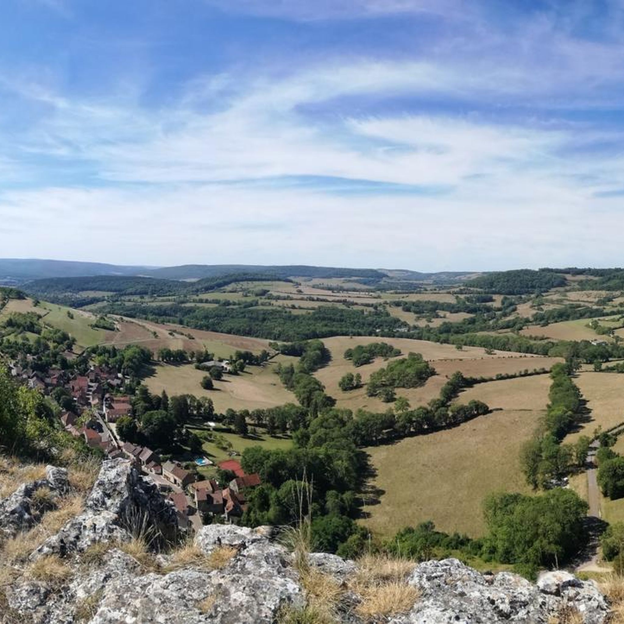
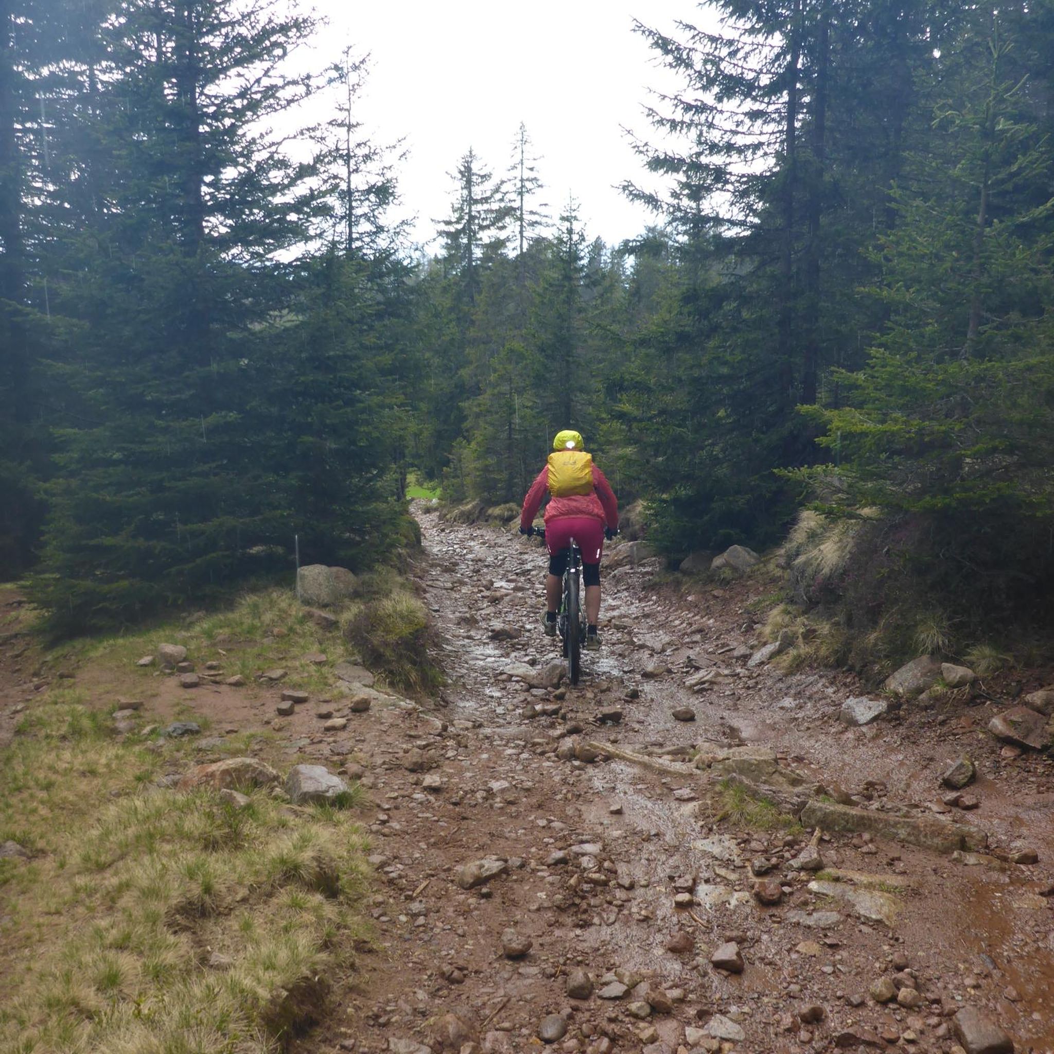
Mountain biking around Champrenault features a diverse landscape, characterized by limestone cliffs, river valleys, and dense woodlands. The region offers varied terrain, including routes that follow historical waterways like the Burgundy Canal and paths leading to natural springs. Elevations range from gentle slopes along rivers to more challenging climbs through forested areas.
Best mountain bike trails around Champrenault
- The most popular mountain bike trail is La Roche Virante – Baulme-la-Roche Cliff loop from Blaisy-Haut, a difficult 27.9 miles (44.8…
Last updated: July 3, 2026
3.0
(2)
23
riders
33.7km
03:22
780m
780m
Moderate mountain bike ride. Good fitness required. Advanced riding skills necessary.
5.0
(2)
18
riders
40.2km
03:23
550m
550m
Moderate mountain bike ride. Good fitness required. Advanced riding skills necessary.

Sign up for free
5.0
(1)
11
riders
162km
10:35
1,380m
1,380m
Hard mountain bike ride. Very good fitness required. Suitable for all skill levels.
6
riders
18.1km
01:37
410m
410m
Moderate mountain bike ride. Good fitness required. Suitable for all skill levels.
5
riders
24.6km
02:20
560m
560m
Moderate mountain bike ride. Good fitness required. Advanced riding skills necessary.
Get access to more routes and recommendations from other explorers.
Sign up for free
Already have an account?
Our route recommendations are based on thousands of hikes, rides, and runs completed by other people on komoot.
Start today with a free account
Your next adventure awaits.
Login or Signup



Tips from the Community

I highly recommend visiting the abbey church of St Thibault in St Thibault! A pure marvel!
0
0

me puits 1, whose remains are located in the crossing of the high-voltage line, was filled with backfill after the construction of the Blaisy railway tunnel. It is not worked. Today, traces of a hole in the exposed rock remain in the middle of the brush. It is still visible in winter when the vegetation is dormant.
0
0

Step into the Middle Ages - another incredible place (incidentally, the film set of the movie “Chocolat” with Johnny Depp)
0
0

A bucolic, clean, well-maintained, and shaded spot, with tables and trash cans for picnicking. It's officially a Paris commune, but it looks nothing like Paris.
0
0

There's a signposted and very beautiful circular trail that includes the source of the Seine. Learn more on the official website here: https://www.cotedor-randonnee.com/
1
0

In addition to strolling around the village, you can freely visit (and for free) the anise museum, discover the old workshops, the crypt of the abbey, and end up in the shop and buy small anise candies with different flavors.
0
0

Wikipedia reports: "The source of the Seine is located on the plateau of Langres, 25 km north-west of Dijon in the Côte-d'Or department in the Bourgogne-Franche-Comté region, 470 m above sea level. A special feature is that the sources of the Seine were the property of the city of Paris from 1864 onwards. An artificial grotto was built a year later to protect the main source and a statue of a nymph was erected to symbolize the river. Paris has since returned the property to the region. Near the source are the remains of a Gallo-Roman temple in which a Dea Sequana (Latin goddess of the Seine) was worshipped. The archaeological finds from this are now in the archaeological department of the Musée des Beaux-Arts in Dijon."
2
1

At this point, you exit the D9 and follow the road which runs along the Canal de Bourgogne. This cycle path is very long and famous. There are several places to picnic along the canal.
1
0
Frequently Asked Questions
How many mountain bike trails are available around Champrenault?
There are over 25 mountain bike trails around Champrenault, offering a diverse range of experiences from easy rides to challenging routes through varied terrain.
Are there easy mountain bike trails suitable for beginners in Champrenault?
Yes, Champrenault offers 4 easy mountain bike trails. These routes are generally flatter and shorter, ideal for those new to mountain biking or looking for a relaxed ride. You can find options that follow river valleys or gentle slopes.
What kind of terrain can I expect on mountain bike trails in Champrenault?
The terrain around Champrenault is diverse, featuring limestone cliffs, scenic river valleys, and dense woodlands. You'll encounter a mix of gentle slopes along rivers, historical waterways like the Burgundy Canal, and more challenging climbs through forested areas.
Are there any challenging mountain bike trails for experienced riders?
Absolutely. Champrenault has 4 difficult mountain bike trails designed for experienced riders. An example is La Roche Virante – Baulme-la-Roche Cliff loop from Blaisy-Haut, which is 27.9 miles (44.8 km) long with significant elevation gain and takes approximately 4 hours 15 minutes to complete.
What are some scenic highlights or attractions I can see while mountain biking in Champrenault?
Many trails offer scenic views and pass by notable attractions. You might encounter the Panorama of the Baulme‑la‑Roche Rocks, the historic Source of the Seine, or even the impressive Château de Blaisy-Haut. The region's limestone cliffs and river valleys also provide beautiful natural backdrops.
Are there mountain bike trails that follow the Burgundy Canal?
Yes, some routes incorporate historical waterways like the Burgundy Canal. For instance, the challenging Velars-sur-Ouche Viaduct – Burgundy Canal loop from Blaisy-Bas is a long route that features sections along the canal.
What do other mountain bikers say about the trails in Champrenault?
The mountain bike trails in Champrenault are highly rated by the komoot community, with an average score of 4.0 stars from more than 6 reviews. Riders often praise the varied terrain, from river valleys to forested hills, and the scenic views of the region's natural and historical landmarks.
Are there any loop trails for mountain biking in Champrenault?
Many of the mountain bike routes in Champrenault are designed as loops, allowing you to start and finish at the same point. Examples include La Roche Virante – Lantenay Castle loop from Blaisy-Haut and Le Haut des Lavières – Source of the Seine loop from Côte-d'Or.
What is the best time of year to go mountain biking in Champrenault?
Spring, summer, and early autumn are generally the best times for mountain biking in Champrenault. The weather is typically milder, and the natural landscapes, including the dense woodlands and river valleys, are at their most vibrant. Always check local weather conditions before heading out.
Are there any shorter mountain bike routes suitable for a quick ride?
Yes, there are several shorter routes available. For example, the Baulme-la-Roche Stream – Baulme-la-Roche Cliff loop from Blaisy-Bas is a moderate 11.2 miles (18.1 km) trail that can be completed in under 2 hours, offering a good option for a quicker outing.
Most popular routes around Champrenault
Most popular attractions around Champrenault

Get inspired with the komoot mobile app


Explore more
Browse the best MTB trails in other regions.
