The best running trails around Savas
4.4
(142)
2,546
runners
18
runs
Jogging routes around Savas are characterized by varied terrain, including paths through rural landscapes and ascents to local hills. The region offers a mix of easy, moderate, and challenging running trails. Elevation changes are common, with some routes featuring significant climbs. The landscape is defined by rural paths and local hills.
Best jogging routes around Savas
- The most popular jogging route is Chemin de Ronde loop from Auvergne-Rhône-Alpes, a 2.9 miles (4.6 km) trail that takes 29 minutes to…
Last updated: July 1, 2026
5.0
(1)
46
runners
18.7km
02:18
530m
530m
Hard run. Very good fitness required. Mostly paved surfaces. Suitable for all skill levels.
4.8
(4)
30
runners
4.63km
00:29
40m
40m
Easy run. Great for any fitness level. Mostly paved surfaces. Suitable for all skill levels.

Sign up for free
5.0
(1)
18
runners
11.3km
01:22
320m
320m
Hard run. Very good fitness required. Mostly paved surfaces. Suitable for all skill levels.
7
runners
4.89km
00:34
80m
80m
Easy run. Great for any fitness level. Mostly paved surfaces. Suitable for all skill levels.
3
runners
9.11km
01:08
260m
260m
Moderate run. Good fitness required. Mostly paved surfaces. Suitable for all skill levels.
Get access to more routes and recommendations from other explorers.
Sign up for free
Already have an account?
Our route recommendations are based on thousands of hikes, rides, and runs completed by other people on komoot.
Start today with a free account
Your next adventure awaits.
Login or Signup

Tips from the Community

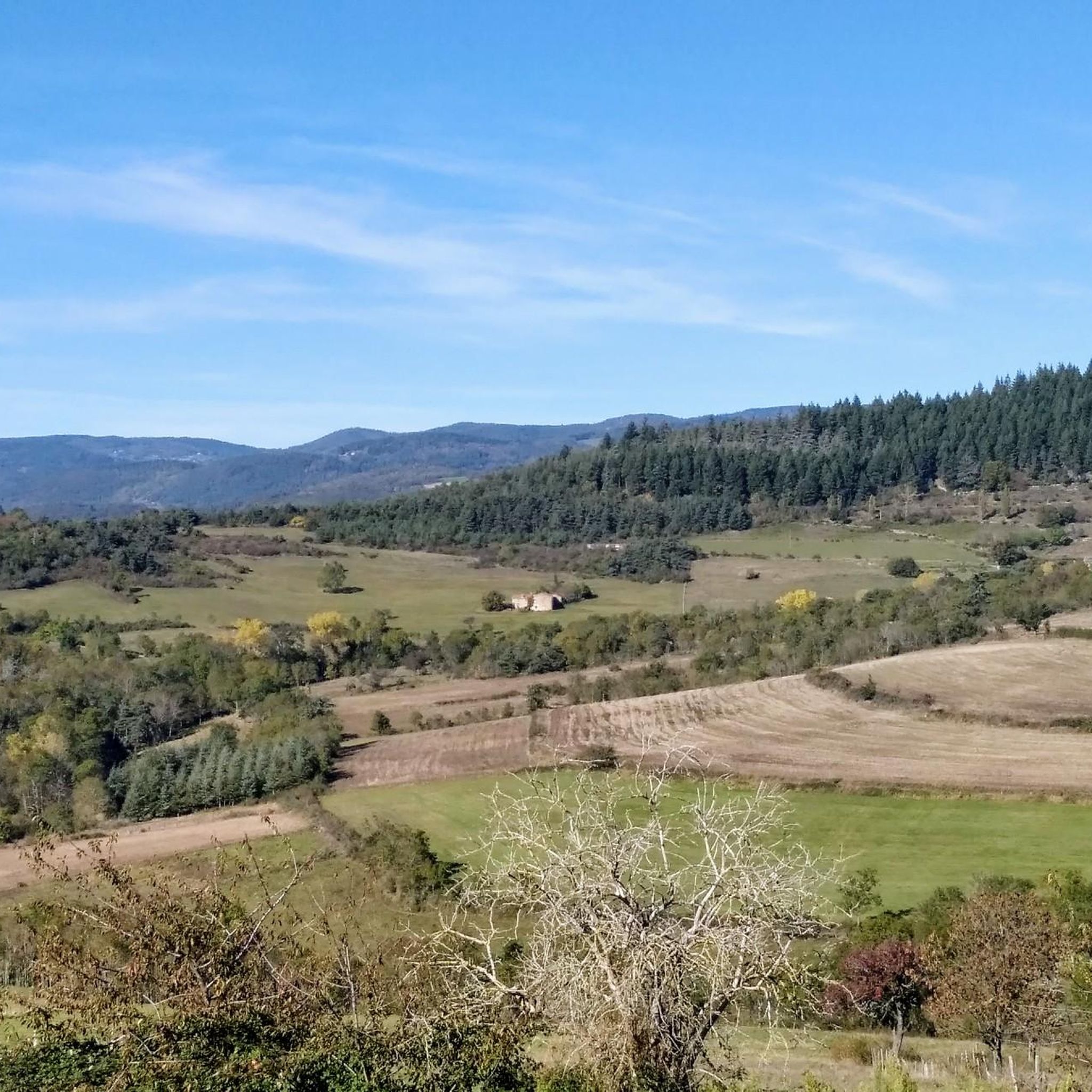
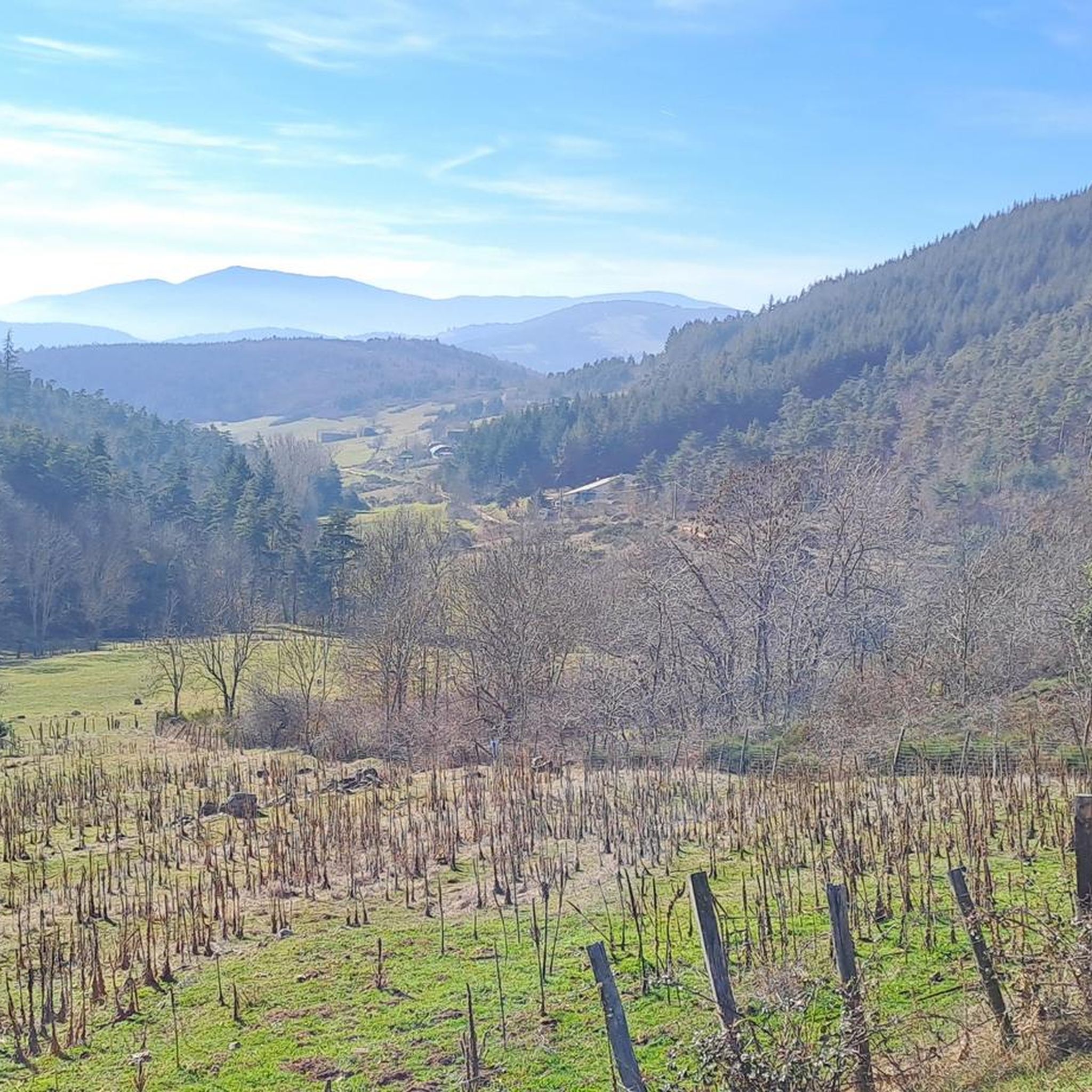
Climbed from Serrières, passing through the vineyards to avoid the main road. A real pleasure to climb, the road is not very busy.
0
0

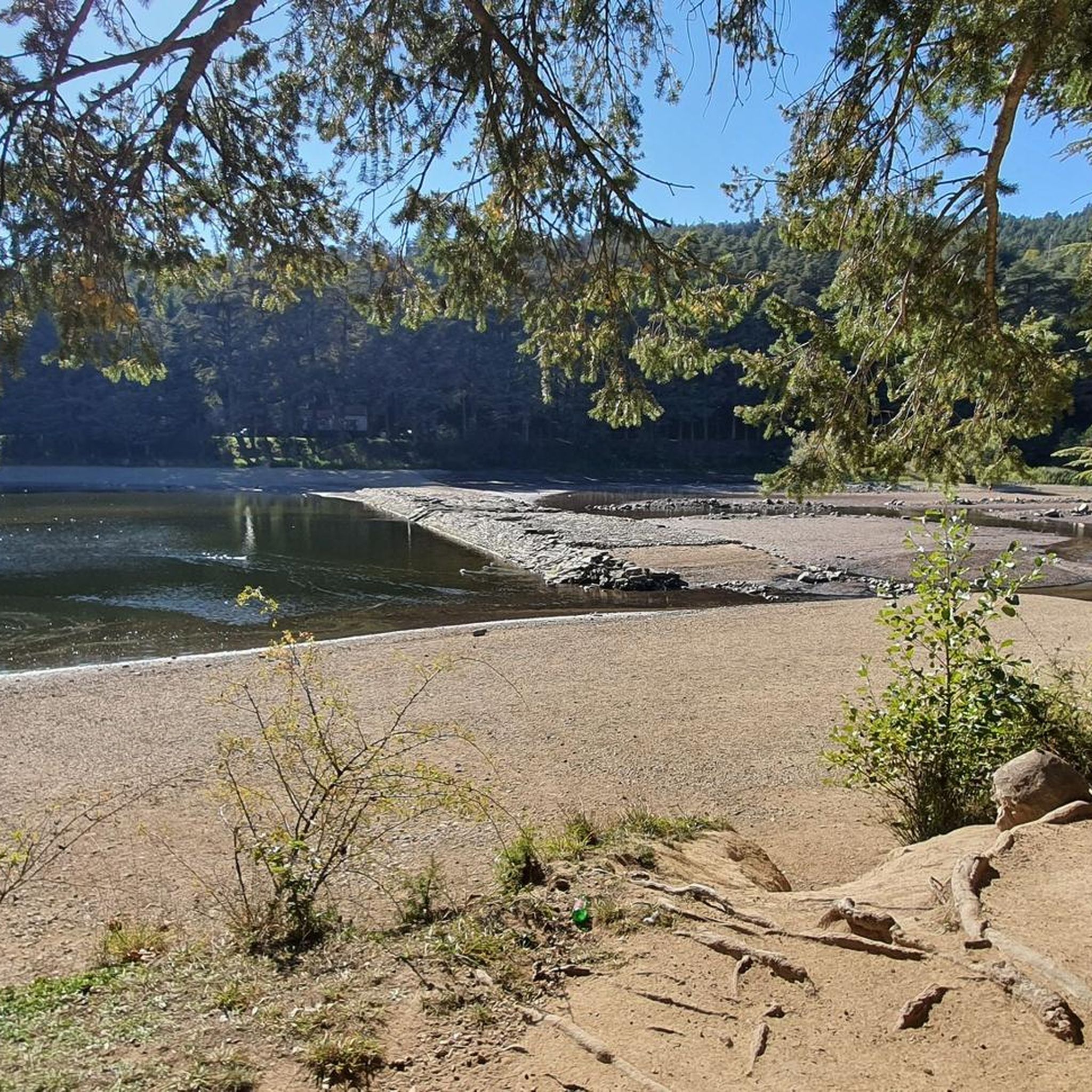
A pleasant path of about 4 kilometers, called the "Chemin de Ronde", lined with Cedars of Lebanon and a few sequoias, goes around this 30-hectare lake.
0
0

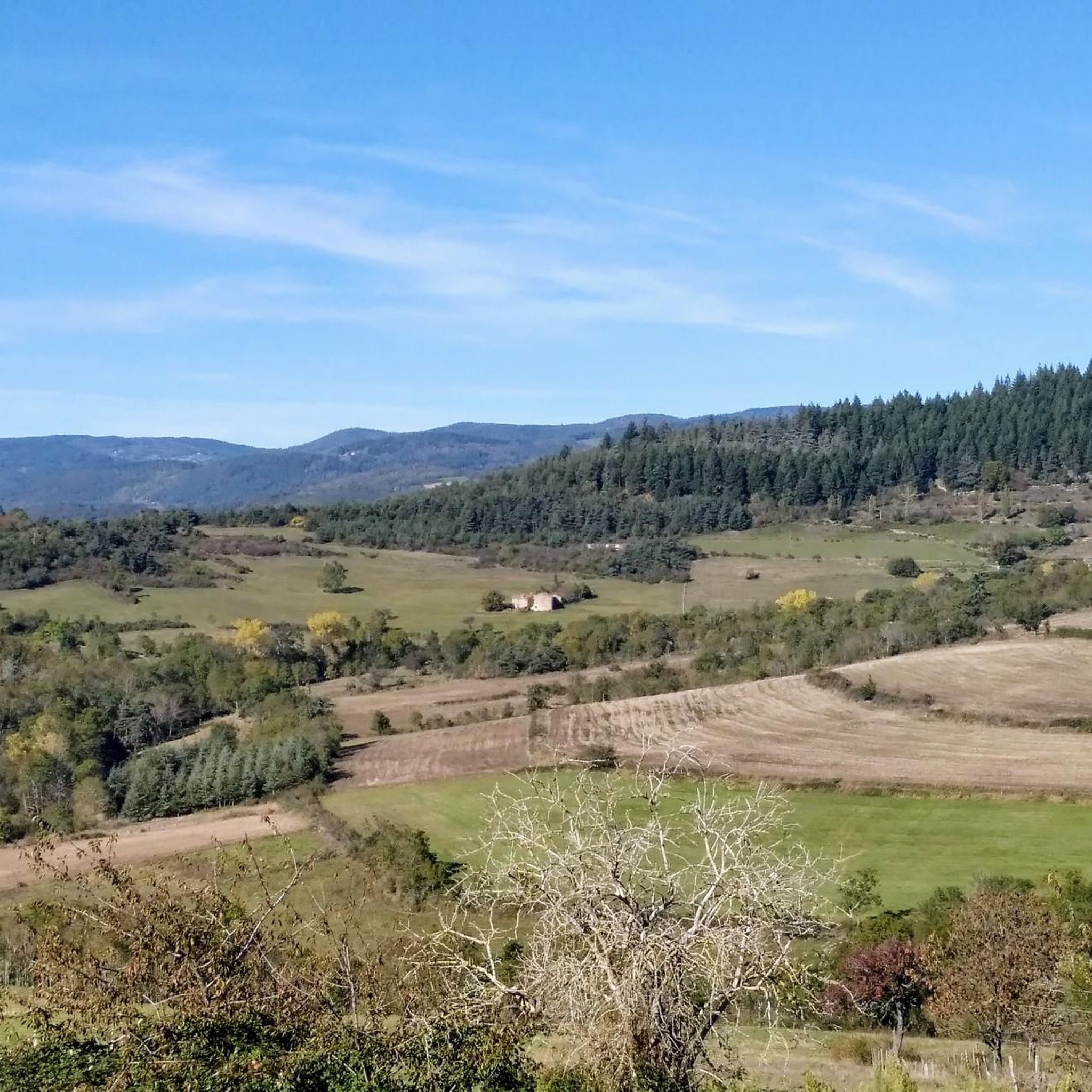
The Col du Fayet is 9.68m long with a total drop of 470m. The average gradient is 4.86% with maximum gradients of 7.1%.
1
0

Frequently Asked Questions
How many running routes are available around Savas?
There are over 20 dedicated running routes around Savas, offering a diverse range of experiences for all skill levels. These include easy, moderate, and challenging trails through varied terrain.
What kind of terrain can I expect on jogging routes in Savas?
Jogging routes in Savas are characterized by varied terrain, including rural paths, ascents to local hills, and trails through forested sections. You'll encounter a mix of gentle slopes and significant climbs, providing options for different preferences.
Are there any easy running routes suitable for beginners or a relaxed jog?
Yes, Savas offers several easy running routes. A popular choice is the Chemin de Ronde loop from Auvergne-Rhône-Alpes, which is about 4.6 km (2.9 miles) with gentle elevation changes, typically completed in under 30 minutes. Another great option is the Running loop from Savas, a 4.9 km (3.0 miles) trail through local paths.
What are some challenging running trails in the Savas area?
For those seeking a challenge, Savas has several routes with notable climbs. The Col du Fayet – Col du Fayet (611 m) loop from Auvergne-Rhône-Alpes is a difficult 10.8 km (6.7 miles) trail with over 300 meters of elevation gain, offering a rewarding workout and scenic views.
Are there any running routes with scenic viewpoints or natural attractions?
Many routes in Savas offer scenic views, particularly those that ascend local hills. The region is known for its beautiful landscapes, including the Gorges and the Cance Valley. You can also find routes that pass near peaks like Crêt de l'Œillon or offer panoramic vistas from Chirole Cross.
What do other runners say about the trails in Savas?
The running routes in Savas are highly regarded by the komoot community, with an average rating of 4.4 stars from over 130 reviews. More than 2700 runners have explored the area, often praising the varied terrain, the mix of rural paths, and the rewarding climbs that offer great views.
Can I find circular running routes in Savas?
Yes, many of the running routes in Savas are circular, allowing you to start and finish at the same point. Examples include the popular La Madone de Savas loop from Vinzieux, a moderate 9.9 km (6.1 miles) route, and the Chemin de Ronde loop from Auvergne-Rhône-Alpes.
Are there any specific landmarks or points of interest to look out for while running in Savas?
Beyond the natural beauty, you might encounter interesting landmarks. The region features several notable peaks such as Crêt de l'Œillon and The Three Teeth. The charming Town of Andance is also nearby, offering a glimpse into local life.
Are there any moderate running trails for those looking for a balanced workout?
Absolutely. Savas offers a good selection of moderate running trails. The La Madone de Savas loop from Vinzieux is a great example, spanning 9.9 km (6.1 miles) with notable climbs, providing a balanced challenge and scenic rewards. Another option is the Col du Fayet (611 m) – Col du Fayet loop from Auvergne-Rhône-Alpes, which is 8.9 km (5.5 miles) long.
What is the typical elevation gain on running routes in Savas?
Elevation changes are common in Savas. While easy routes like the Chemin de Ronde loop have minimal gain (around 44 meters), more challenging trails like the Col du Fayet loop can feature over 300 meters of ascent, providing a good workout for runners.
Are there running routes that pass through forested areas?
Yes, the region around Savas is rich with forested sections. Many trails, especially those in the alpine foothills, wind through lush greenery and pine forests, offering a refreshing and shaded running experience.
What kind of natural features define the Savas running landscape?
The Savas running landscape is defined by its diverse natural features, including rural paths, local hills, and varied elevation. You'll find trails that traverse forested areas, offer views of gorges like the Gorges and the Cance Valley, and provide access to several mountain peaks.
Most popular attractions around Savas

Get inspired with the komoot mobile app


Explore more
Browse the best Running Trails & Routes in other regions.
