The best walks and hikes around Villechenève
4.7
(280)
1,574
hikers
240
hikes
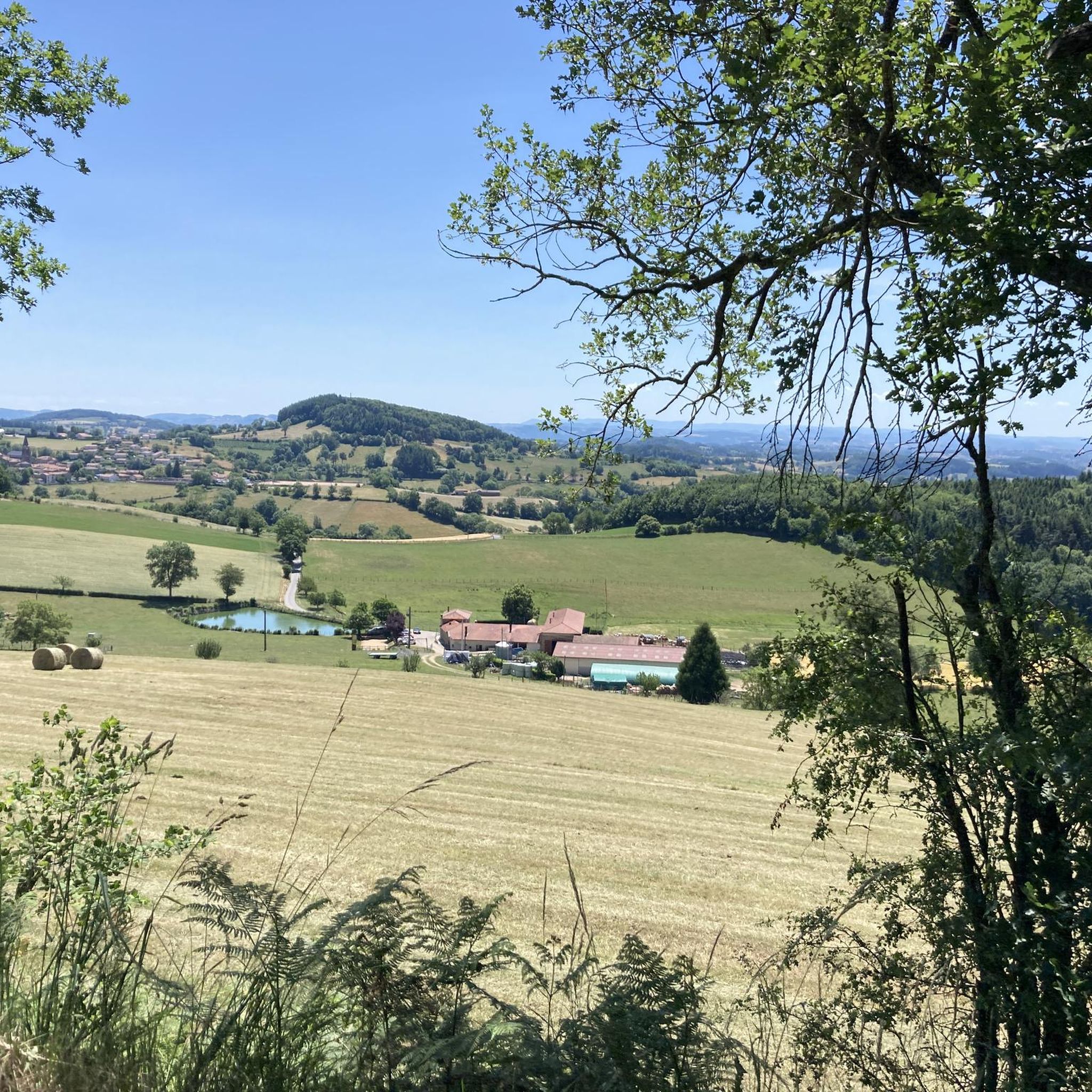
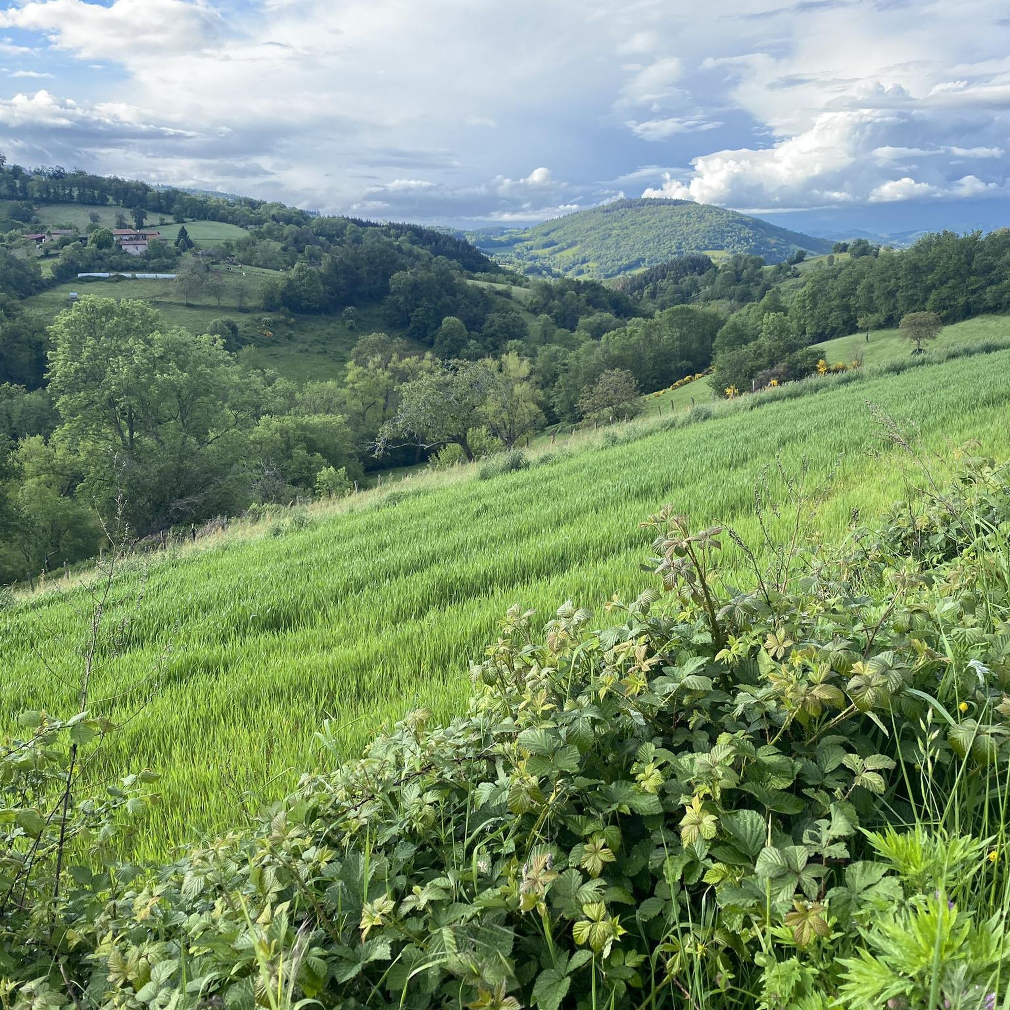
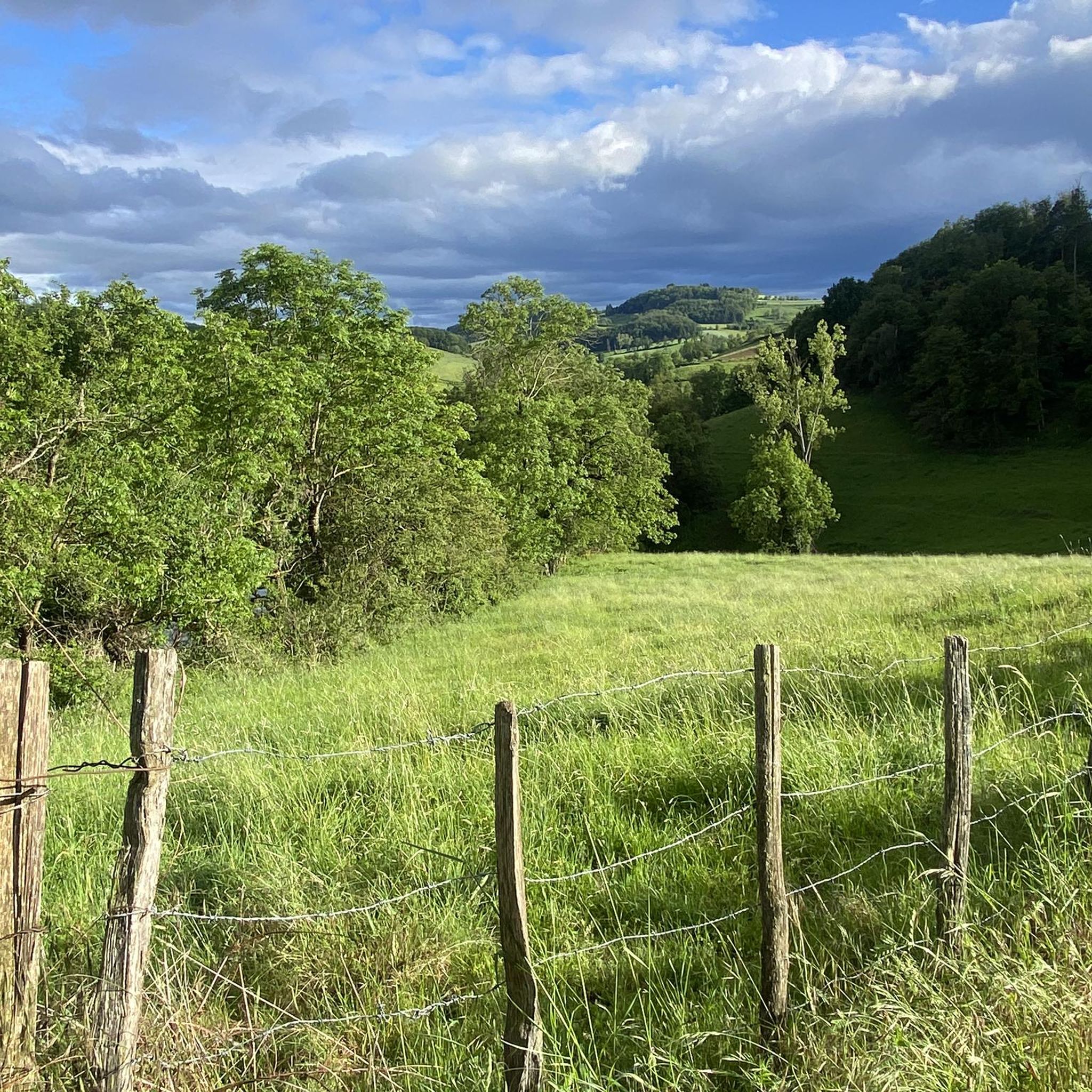
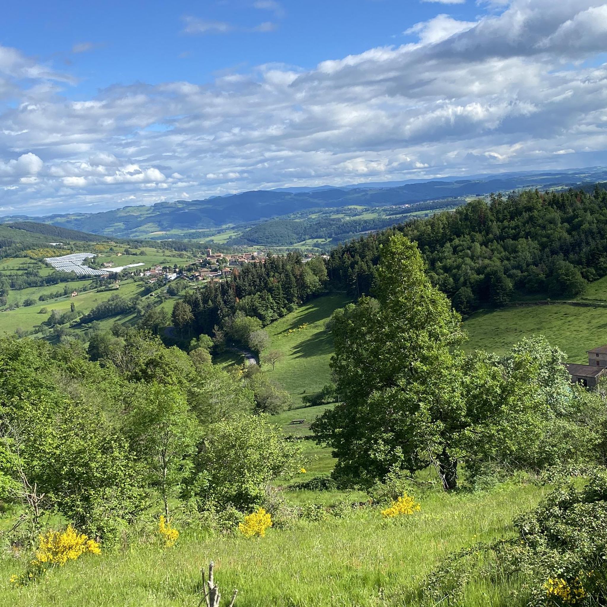
Hiking around Villechenève offers diverse landscapes within the Monts du Lyonnais, part of the broader Massif Central region. The terrain features volcanic reliefs, extensive forests, and open pastures, providing varied scenery for hikers. Elevations reach up to 767 meters, contributing to significant changes in views and effort. The area is characterized by a network of trails winding through wooded areas and past historical hamlets.
Best hiking trails around Villechenève
- The most popular hiking route is Croix des Mollières – Matagrin…
Last updated: July 9, 2026
4.7
(3)
14
hikers
5.61km
01:42
190m
190m
Easy hike. Great for any fitness level. Easily-accessible paths. Suitable for all skill levels.
4.6
(5)
33
hikers
14.3km
04:15
440m
440m
Moderate hike. Good fitness required. Easily-accessible paths. Suitable for all skill levels.

Sign up for free
5.0
(2)
12
hikers
10.9km
03:11
290m
290m
Moderate hike. Good fitness required. Easily-accessible paths. Suitable for all skill levels.
4.7
(3)
11
hikers
13.7km
03:57
350m
350m
Moderate hike. Good fitness required. Easily-accessible paths. Suitable for all skill levels.
5.0
(1)
5
hikers
9.96km
03:00
330m
330m
Moderate hike. Good fitness required. Easily-accessible paths. Suitable for all skill levels.
Get access to more routes and recommendations from other explorers.
Sign up for free
Already have an account?
Our route recommendations are based on thousands of hikes, rides, and runs completed by other people on komoot.
Start today with a free account
Your next adventure awaits.
Login or Signup
Tips from the Community


Pretty church in the middle of Violay
0
0

Pretty long pass on the Tarare side with a constant slope around 5%. Delimits the watershed line between the Rhône and the Loire. Do not hesitate to climb to Mont Boussuivre by extending a few hundred meters and climb to the top of the Matagrin tower to enjoy a magnificent view of the whole region.
1
0

Small village of Affoux, with a very beautiful view of the Monts du Lyonnais and Mont Blanc on a clear day.
1
0

Built in 1876, the tower was topped with a pointed roof. At the time, it served as a hunting meeting place for a local notary, Master Matagrin, then became a drinking establishment and even welcomed dance enthusiasts. A Napoleonic terminal was inserted next to the entrance door with the inscription: "Point trigo Napoléon Empereur Nov 1812".
0
0
A great place with the magnificent Matagrin tower from which we have a magnificent 360° view of all the surrounding mountains. You can climb it from the Col de la Croix Casard by taking a fairly steep gravel path for 300 m which is best done with slightly wider tires or on foot. A little effort that is worth it with the superb view at the top.
0
0

This small village located in the Rhône department and at the extreme south of the Monts du Beaujolais is the final stage of the GR 76.
0
0
Frequently Asked Questions
How many hiking trails are available around Villechenève?
There are over 215 hiking trails around Villechenève, offering a wide range of options for all skill levels. This includes 56 easy routes, 125 moderate trails, and 35 more challenging itineraries.
What kind of landscapes can I expect to see while hiking in Villechenève?
Hikers in Villechenève will experience diverse landscapes, including volcanic reliefs, dense forests, open pastures, and marshes. The trails often wind through wooded areas, offering shelter and an immersive nature experience, with elevations reaching up to 767 meters providing varied scenery.
Are there easy hiking options in Villechenève?
Yes, Villechenève offers 56 easy hiking routes suitable for all levels. An example is the Matagrin Tower loop from Affoux, an easy 5.7 km path that provides a mix of wooded sections and open views.
What landmarks or viewpoints can I discover on a hike in Villechenève?
Many trails lead to significant landmarks and offer panoramic views. A major highlight is the 360° panorama from the site of the Madone. The Croix des Mollières – Matagrin Tower loop from Villechenève will take you to the Matagrin Tower, a prominent landmark on the highest peak in the Monts du Lyonnais. You can also pass by the Col de la Croix de Mazieux or the Col des Cassettes (622 m).
Are there any circular hiking routes in Villechenève?
Yes, many of the trails in Villechenève are circular, allowing you to start and end at the same point. Examples include the Matagrin Tower – Affoux loop from Villechenève, a moderate 13.7 km route, or the Affoux – Matagrin Tower loop from Affoux, which is 10 km long.
Can I hike with my dog in Villechenève?
Generally, dogs are welcome on hiking trails in Villechenève. However, it's always recommended to keep them on a leash, especially when passing through pastures with livestock or in areas with wildlife. Please ensure you clean up after your pet to maintain the natural environment.
Are there family-friendly hiking trails in Villechenève?
Yes, Villechenève offers several easy loops suitable for families. These trails are generally shorter with less elevation gain, making them enjoyable for all ages. Look for routes marked as 'easy' on komoot for suitable options.
What do other hikers say about the trails in Villechenève?
The trails in Villechenève are highly rated by the komoot community, with an average score of 4.8 stars from over 200 reviews. More than 1300 hikers have explored the varied terrain, often praising the diverse landscapes and well-maintained paths.
When is the best time of year to go hiking in Villechenève?
Villechenève is suitable for hiking throughout much of the year. Spring and autumn offer pleasant temperatures and vibrant scenery, with spring bringing blooming flora and autumn showcasing colorful foliage. Summer is also popular, though some trails might be more exposed to the sun. Winter hiking is possible, but conditions can vary, especially at higher elevations.
Are there any historical or cultural sites to see while hiking?
Yes, hiking in Villechenève often allows you to discover local heritage. Trails frequently pass through quaint hamlets such as Le Lafay or la Parollière. You can also find renovated lavoirs (washhouses) and several of the fourteen crosses scattered throughout the commune, adding a touch of local history to your journey. The Montrottier settlement and the Saint-Clément-sur-Valsonne Church are also nearby.
Is public transport available to access hiking trails in Villechenève?
Public transport options directly to trailheads in Villechenève may be limited. It is generally recommended to travel by car to access the starting points of most hiking routes. Check local bus schedules for connections to the main village if you plan to rely on public transport.
Where can I park when hiking in Villechenève?
Parking is typically available in or near the village center of Villechenève, as well as at designated starting points for popular trails. Look for small parking areas near trailheads or in hamlets along the routes. Always ensure you park responsibly and do not obstruct local access.
Most popular routes around Villechenève
Most popular attractions around Villechenève

Get inspired with the komoot mobile app


Explore more
Browse the best Hikes in other regions.
