The best walks and hikes around Charvieu-Chavagneux
4.5
(282)
1,612
hikers
19
hikes
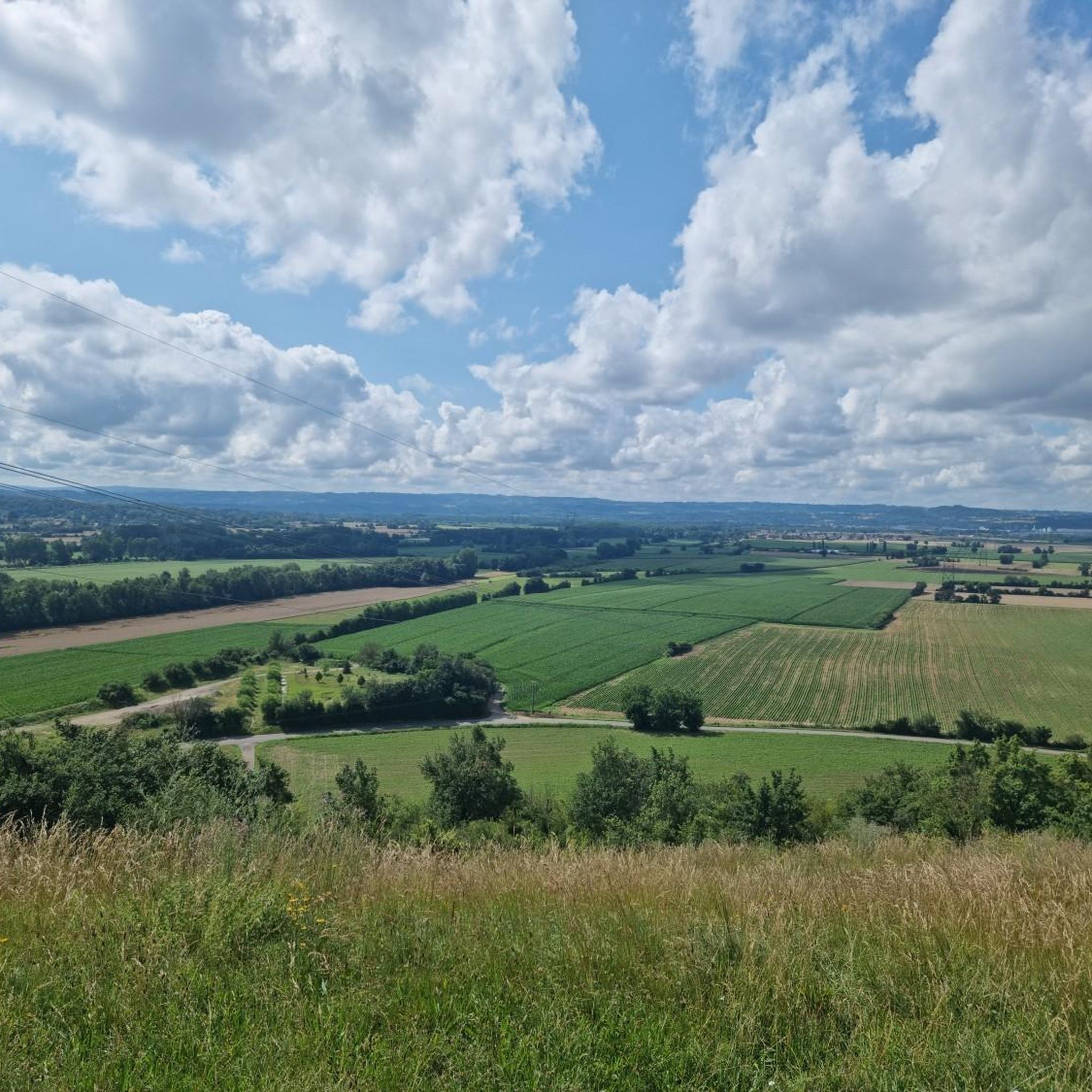
Hiking around Charvieu-Chavagneux offers diverse landscapes, characterized by woodlands, lakes, and plains. The region features well-documented hiking trails that provide views of the Ain plain and, on clear days, distant glimpses of the Alps. The terrain includes natural woodlands like the Bois des Franchises and several small lakes such as Lac de Fréminville, making it suitable for various hiking routes.
Best hiking trails around Charvieu-Chavagneux
- The most popular hiking route is Bois des Franchises loop from Charvieu, a 5.0 miles (8.1 km) trail that takes 2 hours 4 minutes to complete. This route explores the shaded woodland of Bois des Franchises.
- Another top favourite among local hikers is Bois des Franchises loop from Le Piarday, a moderate 5.0 miles (8.0 km) path. This trail also navigates through the Bois des Franchises, offering pleasant woodland scenery.
- Local hikers also love the Lac de Fréminville loop from Chavagneux, a 4.9 miles (7.8 km) trail leading through varied landscapes around the lake, often completed in about 2 hours 5 minutes.
- Hiking around Charvieu-Chavagneux is defined by woodlands, lakes, and expansive views over the Ain plain. The network offers options for easy strolls and more moderate circuits.
- The routes in Charvieu-Chavagneux are highly rated by the komoot community with an average score of 4.5 stars from over 250 reviews. More than 1500 hikers have used komoot to explore Charvieu-Chavagneux's varied terrain.
Last updated: July 9, 2026
4.4
(5)
21
hikers
8.52km
02:12
40m
40m
Moderate hike. Good fitness required. Easily-accessible paths. Suitable for all skill levels.
5.0
(2)
9
hikers
7.90km
02:03
50m
50m
Moderate hike. Good fitness required. Easily-accessible paths. Suitable for all skill levels.

Sign up for free
4.5
(2)
6
hikers
7.83km
02:05
80m
80m
Moderate hike. Good fitness required. Easily-accessible paths. Suitable for all skill levels.
6
hikers
Moderate hike. Good fitness required. Easily-accessible paths. Suitable for all skill levels.
3
hikers
12.6km
03:20
120m
120m
Moderate hike. Good fitness required. Easily-accessible paths. Suitable for all skill levels.
Get access to more routes and recommendations from other explorers.
Sign up for free
Already have an account?
Our route recommendations are based on thousands of hikes, rides, and runs completed by other people on komoot.
Start today with a free account
Your next adventure awaits.
Login or Signup

Tips from the Community

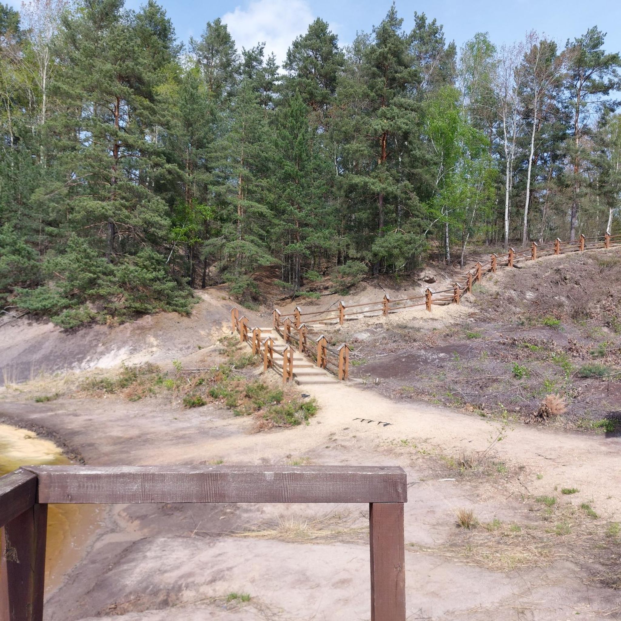
With its 4.5 hectares of surface area, this enchanting lake is surrounded by breathtaking green landscapes. Renowned for its peaceful atmosphere and rich biodiversity, it is the ideal place to escape the hustle and bustle of daily life and reconnect with nature.
0
0

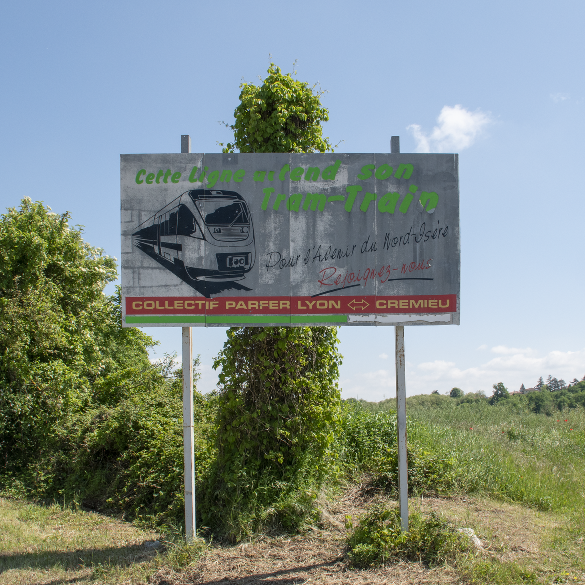
Venturing here allows you to go quite straight between Pont-de-Chéruy and Jonage. Good to know: (only) suitable for road bikes.
0
0

The water level this year has been sufficient, which makes the lake more pleasant to look at 😉
0
0
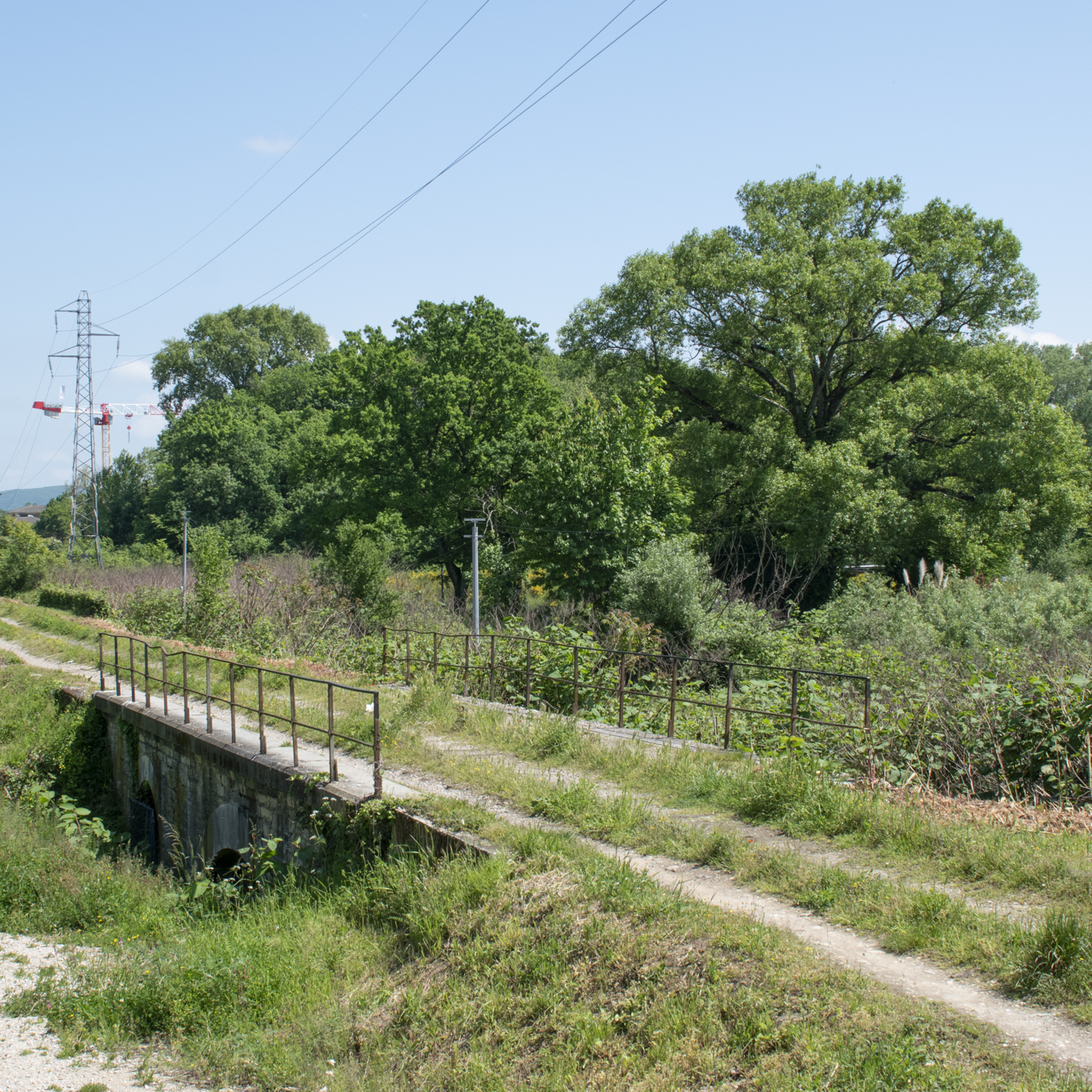
Nice walk as soon as you cross the first small bridge. The path towards Jameyzieu is pleasant and was passable (because it is well maintained). After crossing the departmental road (crossing the bridge) the path is a little less good but it is still possible to continue the walk to the next small bridge. Return on the other bank to Jameyzieu. But, there, you have to return on the same bank as on the way there. Apparently, the municipality or municipalities in charge of maintaining the path on the opposite bank do not take care of it. I had to turn around to take the same bank as on the way there. Too bad, but a nice walk when it's hot 😉
0
0

The Bois des Franchises offers pleasant walks through the undergrowth. Well known to the inhabitants of Chavanoz, it is not uncommon to come across onlookers and cyclists on weekends.
0
0
Frequently Asked Questions
How many hiking trails are available around Charvieu-Chavagneux?
There are over 15 hiking routes available around Charvieu-Chavagneux, offering a variety of experiences. These trails range from easy strolls to more moderate circuits, ensuring options for different fitness levels.
What kind of terrain can I expect on hikes in Charvieu-Chavagneux?
The terrain around Charvieu-Chavagneux is diverse, featuring natural woodlands like the Bois des Franchises, several small lakes such as the Étang de Moras and Lac de Fréminville, and expansive views over the Ain plain. You'll find paths through shaded forests, along tranquil waters, and occasionally elevated points offering panoramic vistas.
Are there any easy hiking trails suitable for beginners or families?
Yes, Charvieu-Chavagneux offers several easy hiking options. For a relaxed afternoon, consider a walk around the Étang de Moras. The region has 3 routes classified as easy, perfect for those seeking a gentle introduction to hiking or a leisurely family outing.
What are some notable natural features or viewpoints to look out for?
Hikers can enjoy superb panoramas from various points, including the cemetery of Moras, which offers views of the Alps and surrounding lakes. The Chapelle de Leyrieu circuit provides vistas over the Lyon plains and the Pilat massif, with the Alps and Vercors massif visible on clear days. The Ruisseau de Vaud and its Gorges de la Fusa also offer picturesque natural waterways.
Are there any historical or cultural sites along the hiking routes?
Yes, some circuits incorporate historical and cultural elements. For example, the historical trail Bois des Franchises loop from Charvieu leads past the site of the 1430 Battle of Anthon. Other routes might include visits to local hamlets with ancient stone houses or archaeological sites like the Villa du Vernai.
Are there any circular hiking routes in the area?
Many of the trails around Charvieu-Chavagneux are circular, allowing you to start and end at the same point. Popular loop trails include the Lac de Fréminville loop from Chavagneux, which takes you around the lake, and the Bridge over the Bourbre – Bridge over the Bourbre loop from Chavagneux, a longer option for a more extensive circular walk.
What do other hikers say about the trails in Charvieu-Chavagneux?
The hiking routes in Charvieu-Chavagneux are highly rated by the komoot community, with an average score of 4.5 stars from over 250 reviews. Hikers often praise the diverse landscapes, the tranquility of the woodlands, and the well-maintained paths that offer a mix of natural beauty and historical interest.
Can I bring my dog on the hiking trails?
Many trails in the Charvieu-Chavagneux region are dog-friendly, allowing you to enjoy the outdoors with your canine companion. It's generally recommended to keep dogs on a leash, especially in natural areas or near wildlife, to ensure their safety and respect for other hikers and the environment.
Are there any places to explore nearby after a hike?
Absolutely! The region offers several interesting places to visit. You could explore the medieval town of Crémieu, or discover historical castles like Château de Bienassis or Cingle Castle, which are located nearby.
What is the best time of year to go hiking in Charvieu-Chavagneux?
Charvieu-Chavagneux is enjoyable for hiking throughout much of the year. Spring and autumn offer pleasant temperatures and beautiful scenery with changing foliage. Summer provides warm weather for exploring the lakes and shaded woodlands, while clear winter days can offer crisp air and unique views, especially of the distant Alps.
Are there any long-distance hiking options?
While many routes are moderate in length, there are options for longer excursions. The Bridge over the Bourbre – Bridge over the Bourbre loop from Chavagneux is a more extensive trail, covering over 18 kilometers, suitable for those looking for a longer day hike.
Is public transport available to reach the trailheads?
Information on specific public transport routes directly to all trailheads is limited. However, Charvieu-Chavagneux itself is accessible by local transport, and some trailheads may be within walking distance or a short taxi ride from central points. Planning your route in advance is recommended.
Are there facilities like cafes or restaurants near the trails?
Charvieu-Chavagneux and its surrounding villages offer various amenities, including cafes and restaurants where you can refuel after your hike. While not directly on every trailhead, you'll find options in the local towns to enjoy a meal or a refreshing drink.
Most popular routes around Charvieu-Chavagneux
Most popular attractions around Charvieu-Chavagneux

Get inspired with the komoot mobile app


Explore more
Browse the best Hikes in other regions.
