The best walks and hikes around Saint-Clair
4.5
(24)
79
hikers
19
hikes
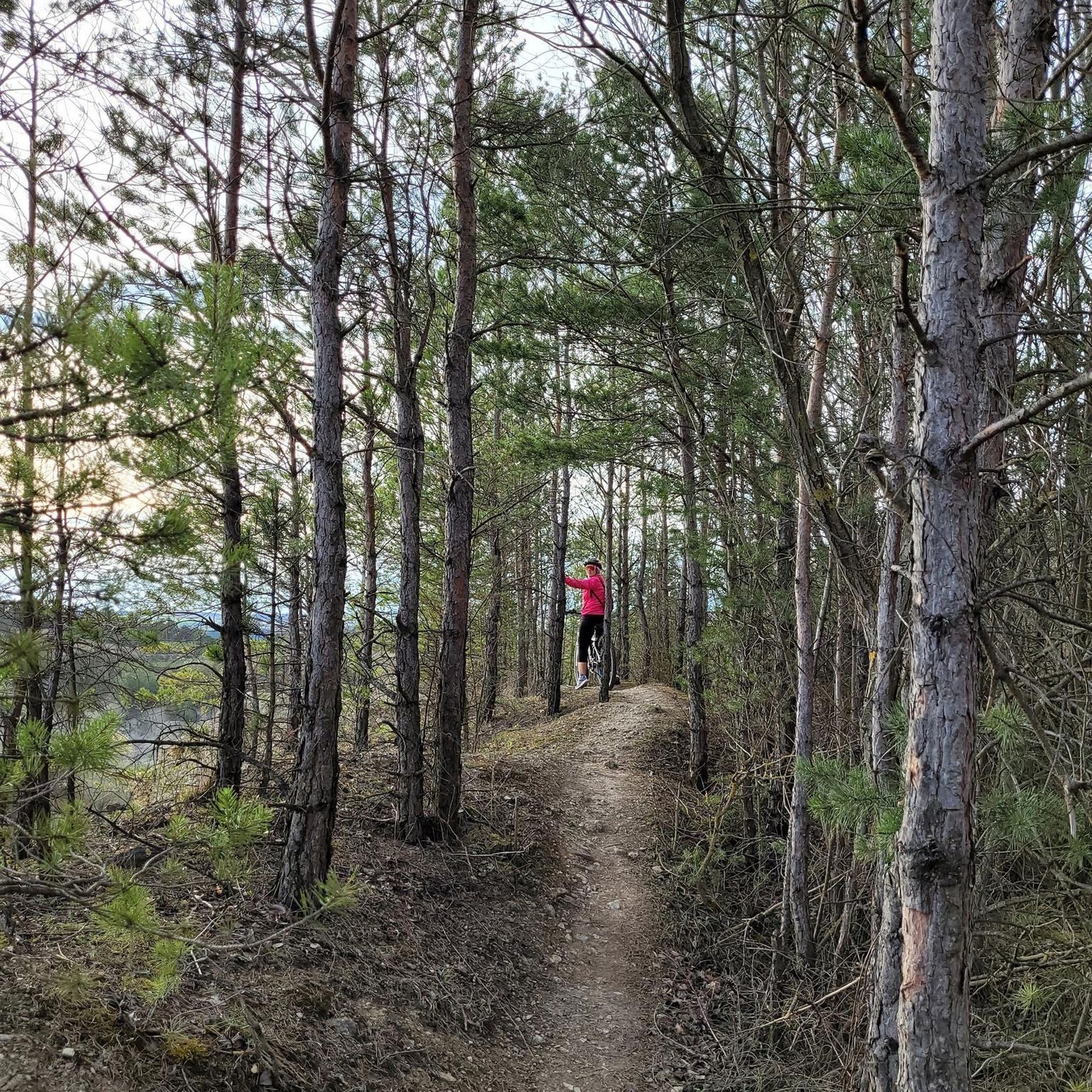
Hiking around Saint-Clair offers routes through a landscape characterized by woodlands and the serene waters of Lake Guesnes. The terrain generally features gentle elevation changes, making it accessible for various activity levels. Trails often traverse forested areas and provide views of the lake, with some routes passing by historical points of interest like Moncontour Keep. The region's natural setting provides opportunities for tranquil walks amidst varied flora.
Best hiking trails around Saint-Clair
- The most popular hiking route is Bois de…
Last updated: July 5, 2026
4.3
(6)
11
hikers
8.38km
02:09
40m
40m
Moderate hike. Good fitness required. Easily-accessible paths. Suitable for all skill levels.
4.7
(6)
20
hikers
12.3km
03:10
60m
60m
Moderate hike. Good fitness required. Easily-accessible paths. Suitable for all skill levels.

Sign up for free
4.3
(3)
8
hikers
6.73km
01:43
20m
20m
Easy hike. Great for any fitness level. Easily-accessible paths. Suitable for all skill levels.
5.0
(1)
8
hikers
12.2km
03:07
50m
50m
Moderate hike. Good fitness required. Easily-accessible paths. Suitable for all skill levels.
7
hikers
7.82km
02:00
30m
30m
Easy hike. Great for any fitness level. Easily-accessible paths. Suitable for all skill levels.
Get access to more routes and recommendations from other explorers.
Sign up for free
Already have an account?
Our route recommendations are based on thousands of hikes, rides, and runs completed by other people on komoot.
Start today with a free account
Your next adventure awaits.
Login or Signup


Tips from the Community

Location: 46.907001, -0.002937 http://www.thegreenwichmeridian.org/tgm/location.php?i_latitude=46.907001
0
0

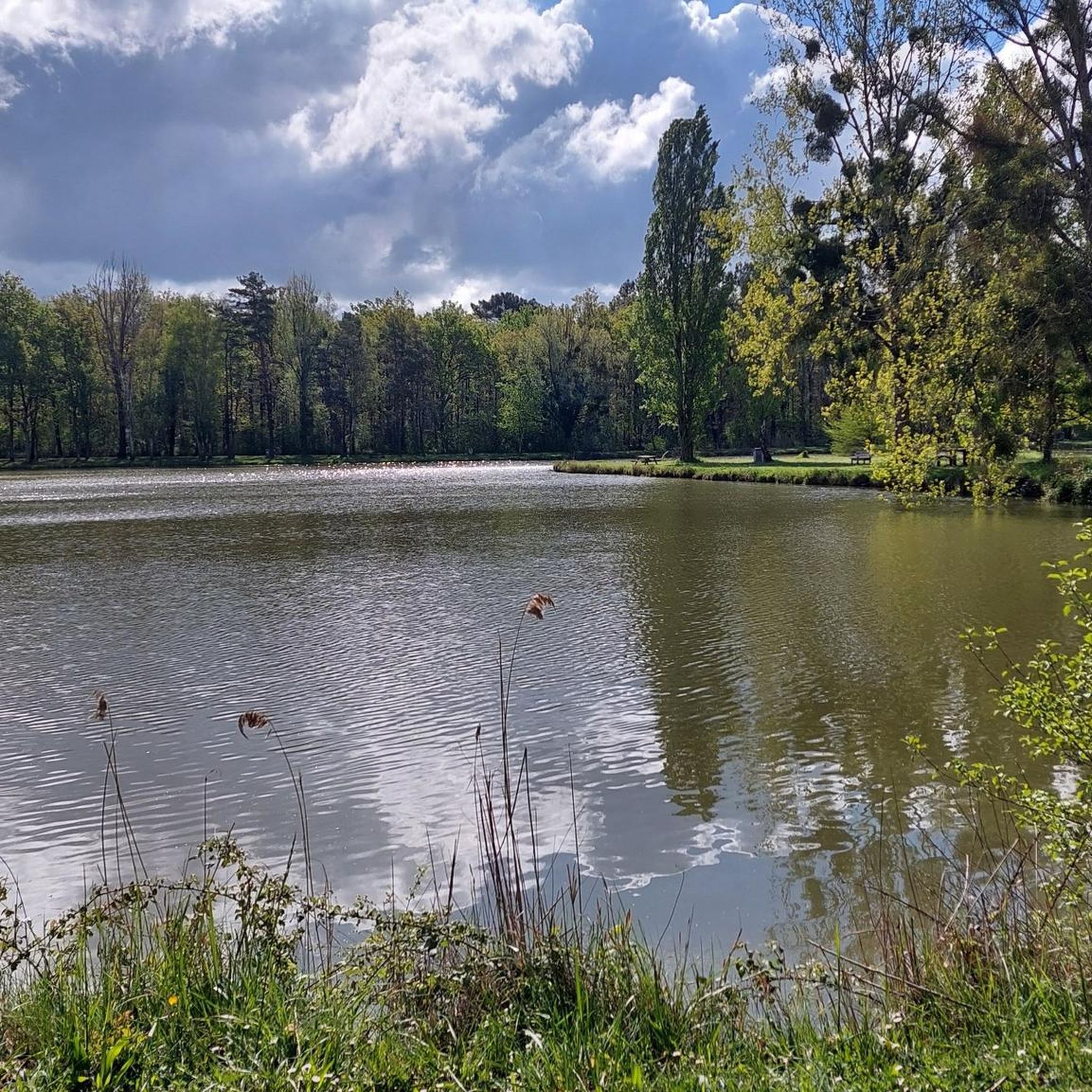
Guesnes Lake is a 4 hectare fishing pond in the heart of the forest. The Guesnes leisure park allows you to enjoy nature in a green setting. It covers 16 hectares with many marked hiking trails for exploring nature.
1
0

Small pond in the heart of the forest of Scévolles, which is accessed by a forest path. There is a small campsite and picnic tables. Wooden sculptures line the paths around the lake.
1
0
Old fortress from the 9th century. Very nice view from the esplanade.
1
0

Try to climb the hill to the foot of the tower from the village, or from the other side.
0
0
Frequently Asked Questions
How many hiking trails are available around Saint-Clair?
There are nearly 20 hiking trails around Saint-Clair, offering a variety of options for exploring the region's woodlands and the serene waters of Lake Guesnes. These routes cater to different skill levels, from easy strolls to more moderate excursions.
What types of terrain can I expect on hikes in Saint-Clair?
Hiking in Saint-Clair is characterized by tranquil lake paths, mature woodlands, and gentle, rolling terrain. The routes often traverse forested areas and provide scenic views of Lake Guesnes, with minimal elevation changes.
Are there any easy hiking trails suitable for beginners or families?
Yes, Saint-Clair offers several easy trails. For instance, the Lake Guesnes loop from La Gare is an easy 4.2-mile (6.7 km) trail that takes about 1 hour 42 minutes, leading through pleasant lakeside scenery.
Are there any circular walks in the Saint-Clair area?
Many of the trails around Saint-Clair are circular, allowing you to start and end at the same point. A popular option is the Bois de la Guérinière et l'étang de Guesnes – loop, a moderate 5.2-mile (8.4 km) route exploring woodlands and the edge of Lake Guesnes.
What is the best way to experience Lake Guesnes on a hike?
To fully experience Lake Guesnes, consider the Lake Guesnes loop from Guesnes. This moderate 7.7-mile (12.3 km) path offers extensive views around the lake and takes approximately 3 hours 10 minutes to complete.
Are there any historical landmarks or points of interest along the trails?
Yes, some routes pass by historical points of interest. For example, the Meridian marker – Moncontour Keep loop from Moncontour is a moderate 7.6-mile (12.2 km) trail that includes the historic Moncontour Keep.
What do other hikers say about the trails in Saint-Clair?
The routes in Saint-Clair are highly rated by the komoot community, with an average score of 4.3 stars from over 20 reviews. Hikers often praise the tranquil atmosphere, the beautiful lake views, and the well-maintained paths through the woodlands.
What is the typical duration for hikes in Saint-Clair?
Hikes in Saint-Clair vary in duration depending on the route and your pace. Easy trails like the Lake Guesnes loop from La Gare can be completed in under two hours, while longer, moderate routes such as the Lake Guesnes loop from Guesnes can take over three hours.
Is there wildlife to observe on the trails around Saint-Clair?
While specific wildlife sightings are not guaranteed, the forested areas and lakeside environments of Saint-Clair provide habitats for various local flora and fauna. Hikers may encounter common woodland birds and small mammals, especially during quieter times of day.
Are there any particularly scenic routes for photography?
The trails around Lake Guesnes offer excellent photographic opportunities, especially during sunrise or sunset when the light reflects beautifully on the water. The Bois de la Guérinière et l'étang de Guesnes – loop provides a mix of woodland and lakeside vistas perfect for capturing the region's natural beauty.
What is the difficulty level of most trails in Saint-Clair?
The majority of trails in Saint-Clair are classified as easy to moderate. Out of nearly 20 routes, 7 are easy and 9 are moderate, making the area accessible for a wide range of hikers. Only a few routes are considered difficult.

Get inspired with the komoot mobile app


Explore more
Browse the best Hikes in other regions.
