The best walks and hikes around Grand'Combe-Châteleu
4.4
(417)
3,013
hikers
174
hikes
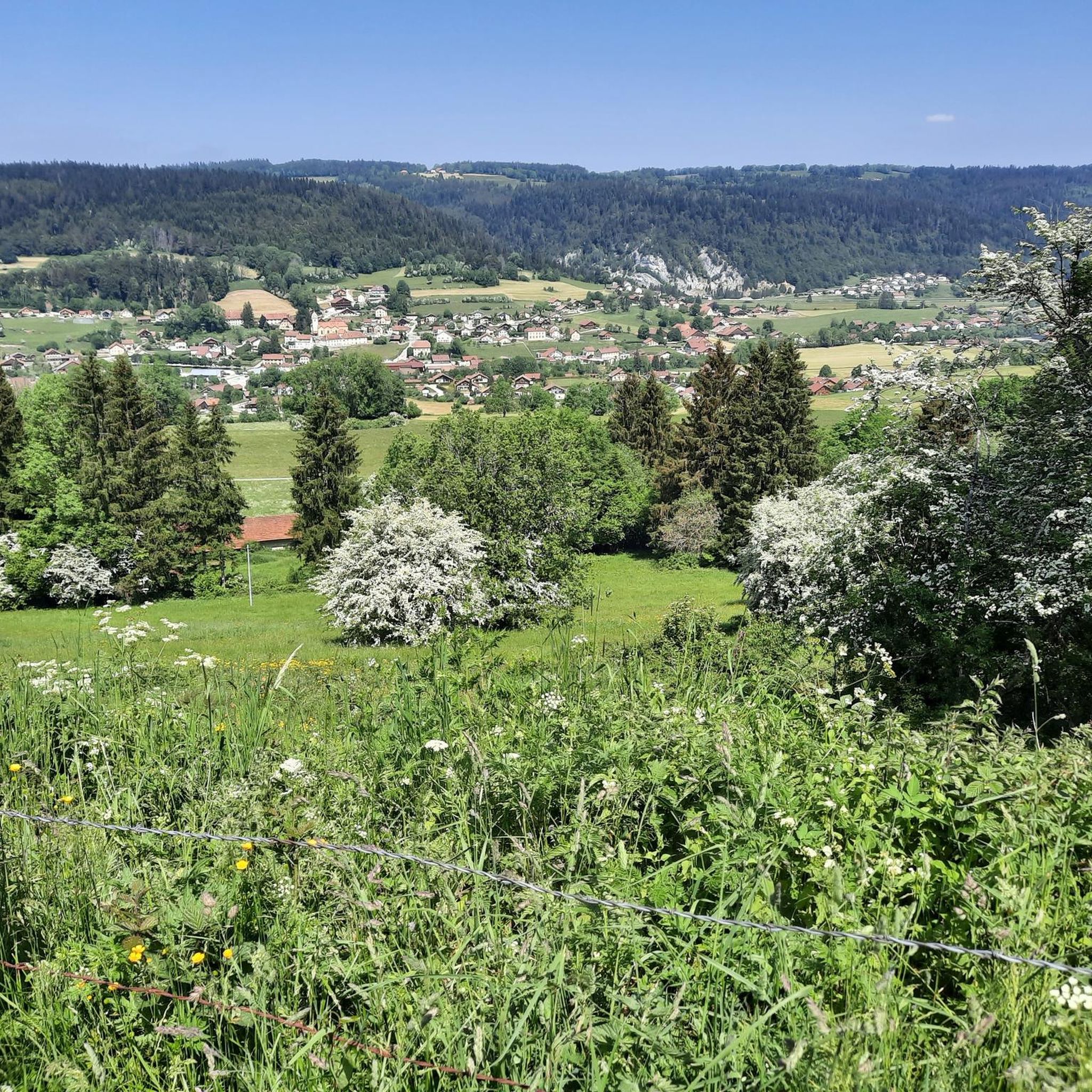
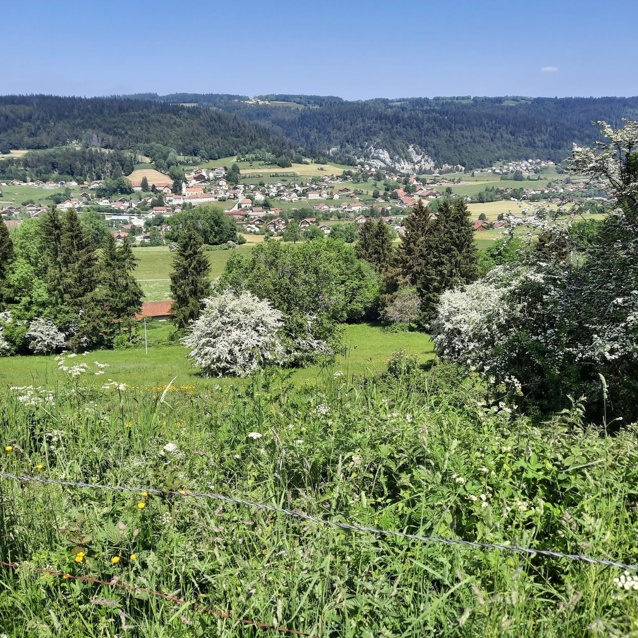
Hiking around Grand'Combe-Châteleu offers diverse terrain within the Parc naturel régional du Doubs Horloger, characterized by its valleys, forests, and waterways. The region features notable landmarks such as Mont Châteleu and the Cascade des Chaudières, providing varied elevation changes and scenic views. Trails often follow river courses and ascend to viewpoints, showcasing the natural beauty of the French-Swiss border area. This landscape provides opportunities for both gentle walks and more challenging ascents.
Best hiking trails around Grand'Combe-Châteleu
- The most popular…
Last updated: July 9, 2026
4.4
(24)
89
hikers
Moderate hike. Good fitness required. Mostly accessible paths. Sure-footedness required.
3.8
(8)
50
hikers
5.74km
01:43
180m
180m
Easy hike. Great for any fitness level. Easily-accessible paths. Suitable for all skill levels.

Sign up for free
3.3
(3)
52
hikers
6.05km
01:37
70m
70m
Easy hike. Great for any fitness level. Easily-accessible paths. Suitable for all skill levels.
3.0
(2)
28
hikers
Moderate hike. Good fitness required. Mostly accessible paths. Sure-footedness required.
4.0
(2)
30
hikers
3.22km
00:57
90m
90m
Easy hike. Great for any fitness level. Easily-accessible paths. Suitable for all skill levels.
Get access to more routes and recommendations from other explorers.
Sign up for free
Already have an account?
Our route recommendations are based on thousands of hikes, rides, and runs completed by other people on komoot.
Start today with a free account
Your next adventure awaits.
Login or Signup
Tips from the Community

Hiking trail only. No mountain biking
0
0

Well-deserved arrival at 1200m at Vieux Châteleu and its typical inn of the region, especially when coming from Grand-Combe Châteleu via Les Gras because it climbs steeply. It is possible to climb (on foot) to Mont Châteleu which peaks at 1301m and offers an incredible panorama of the surrounding area. History has also marked this place, because it was the starting point of the numerous crossings of the Franco-Swiss border by the resistance fighter Michel Hollard with the aim of bringing information to the Allies.
0
0
From the road, the bell tower of the Saint-Anne chapel stands out behind a few fir trees and next to a typical Comtoise farm. A chapel located at an altitude of 1088m, in an incredible natural setting, and where an association rings the bell (in the name of Anne Marie Joséphine Adelaïde) every year on July 24 for a traditional open-air mass.
0
0

In this typical Franche-Comté inn of the region, perched at an altitude of 1,200 metres, you can taste Franche-Comté specialities, seasonal menus and vegetarian dishes. The cuisine is homemade, based on raw, local and/or organic products.
0
0
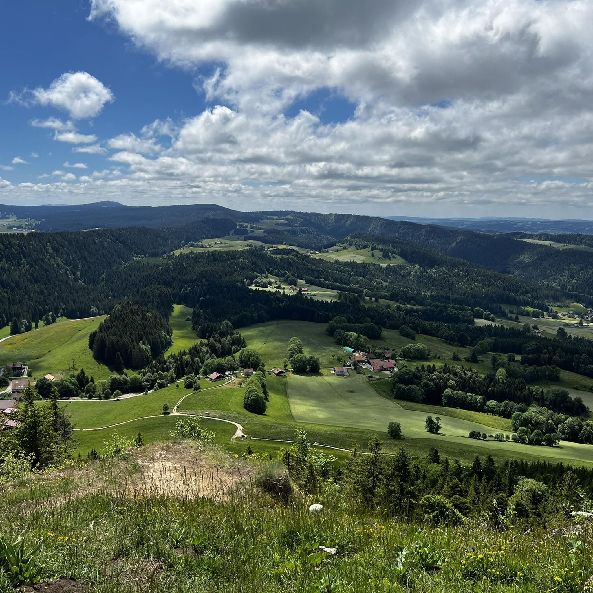
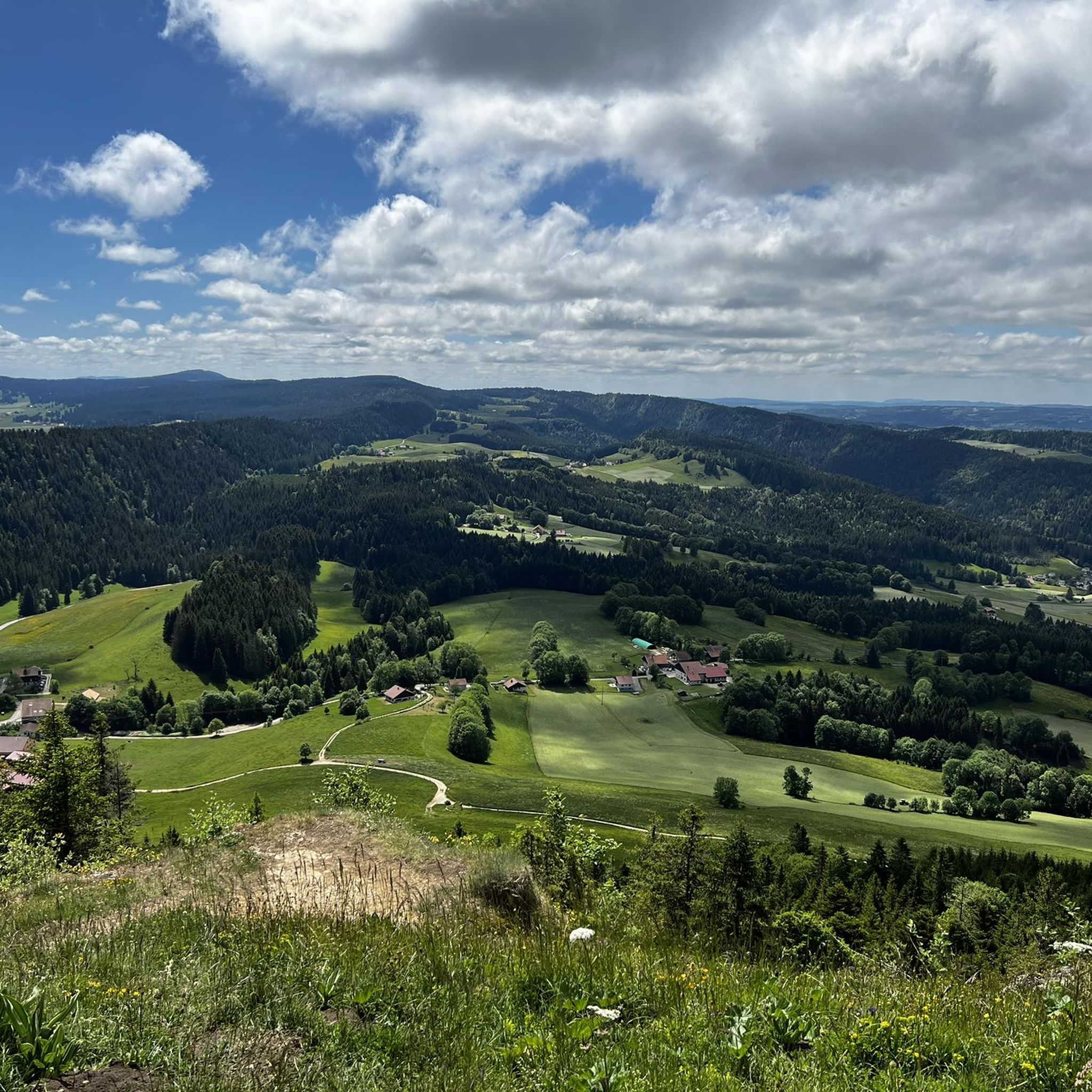
Mont Châteleu is located on a line of Jura ridges facing south-west/north-east. It is located on the watershed line between the Mediterranean Sea and the North Sea. This is the highest point in the sector at 1,300 meters above sea level. On the southern slope of the mountain, a splendid belvedere offers an incomparable view at more than 180° and allows paragliders to take off from this place.
1
1
This small bridge offers a nice view of the Doubs.
0
0

Inn with Restaurant and Gîte d'Étape, the resistance fighter Michel Hollard crossed the Swiss border here 49 times with information for the Allies.
0
0

The cave of the Grande Cave is a special cavity for the piece of history to which it bears witness. On several occasions, during the warlike episode of the Ten Years' War (1634-1644), the inhabitants in exile took refuge in the woods and the caves lost in the mountains, including the Grande Cave. Today, the cellar is accessible to the public. Note, however, that a cable attached to the wall allows you to travel the last 100 meters.
1
0
Frequently Asked Questions
How many hiking trails are available around Grand'Combe-Châteleu?
There are over 160 hiking routes in the Grand'Combe-Châteleu area, offering a wide range of options from easy strolls to more challenging moderate trails. Nearly 2,800 hikers have explored these paths using komoot.
Are there easy hiking trails suitable for beginners or families in Grand'Combe-Châteleu?
Yes, Grand'Combe-Châteleu offers 56 easy hiking trails perfect for beginners or families. An excellent option is the Chaudières Falls – Wooden Bridge Over the Stream loop from Les Gras, an easy 5.7 km path that follows a stream and passes the scenic Chaudières Falls.
Are there any hiking routes that feature waterfalls in the Grand'Combe-Châteleu region?
Absolutely. The region is known for its waterways, and several trails lead to waterfalls. The Cascade des Chaudières et mont Châteleu loop is a popular moderate route that includes a visit to the impressive Cascade des Chaudières. You can also find the Cascade and Cave of Môtiers nearby.
What kind of natural landmarks or attractions can I explore while hiking in Grand'Combe-Châteleu?
The area is rich in natural beauty. Besides Mont Châteleu and the Cascade des Chaudières, you can discover various caves such as the Bear Cave or the Grotte de la Grande Cave. The Brenets Lake is also a prominent feature of the landscape.
Are there circular hiking routes available in Grand'Combe-Châteleu?
Yes, many of the trails in Grand'Combe-Châteleu are circular, allowing you to start and end at the same point. For example, the Le Pont Rouge loop from Montlebon is a 6 km trail that takes you through varied landscapes.
What do other hikers enjoy the most about hiking in Grand'Combe-Châteleu?
The area is highly rated by the komoot community, with an average score of 4.4 stars from over 350 reviews. Hikers often praise the diverse terrain, from forested valleys to ascents like Mont Châteleu, and the scenic beauty of the Doubs river system.
Are there any historical or cultural sites to visit near the hiking trails?
Yes, the region offers interesting historical sites. You can explore the Underground Mills of Col-des-Roches or the Asphalt Mines of La Presta, which provide a glimpse into the area's industrial heritage.
Are there any short, easy hikes to viewpoints in Grand'Combe-Châteleu?
For a relatively short and easy hike with views, consider the Mont Châteleu – Mont Châteleu loop from La Brévine. This 3.2 km trail offers an ascent to Mont Châteleu, providing scenic vistas of the surrounding landscape.
What is the typical duration for moderate hikes in this region?
Moderate hikes in Grand'Combe-Châteleu typically range from 3 to 5 hours. For instance, the Grotte de la Grande Cave – Great Cliff Cross loop is a moderate 13 km route that takes approximately 4 hours and 5 minutes to complete.
Can I find trails that combine natural features like caves and cliffs?
Yes, the varied terrain often combines different natural features. The Grotte de la Grande Cave – Great Cliff Cross loop is a good example, offering a route that explores both a cave and impressive cliff formations.
Are there any specific trails that highlight the unique geology of the Parc naturel régional du Doubs Horloger?
Many trails showcase the region's geology, characterized by valleys, forests, and the Doubs river system. Routes that ascend Mont Châteleu, such as the Cascade des Chaudières et mont Châteleu loop, offer excellent examples of the varied elevation changes and rock formations typical of the French-Swiss border area.
Most popular routes around Grand'Combe-Châteleu
Most popular attractions around Grand'Combe-Châteleu

Get inspired with the komoot mobile app


Explore more
Browse the best Hikes in other regions.
