The best walks and hikes around Saint-Marcel-L'Éclairé
4.6
(322)
1,806
hikers
232
hikes
Hiking around Saint-Marcel-L'Éclairé offers diverse landscapes within the Beaujolais Vert and Monts de Tarare. The region features varied topography, with elevations ranging from 360 to 843 meters, providing both climbs and descents. Hikers encounter extensive woodlands, including the departmental forest of Brou, alongside tranquil sections of the Turdine river and the Henri Debourg pond. Panoramic views over the Lyonnais and Beaujolais areas are common, with distant glimpses of the Alpine mountain range possible from higher points.
Best hiking trails around…
Last updated: July 11, 2026
4.7
(3)
14
hikers
5.61km
01:42
190m
190m
Easy hike. Great for any fitness level. Easily-accessible paths. Suitable for all skill levels.
4.6
(5)
33
hikers
14.3km
04:15
440m
440m
Moderate hike. Good fitness required. Easily-accessible paths. Suitable for all skill levels.

Sign up for free
5.0
(3)
9
hikers
11.2km
03:18
320m
320m
Moderate hike. Good fitness required. Easily-accessible paths. Suitable for all skill levels.
4.3
(4)
19
hikers
13.4km
03:59
390m
390m
Moderate hike. Good fitness required. Easily-accessible paths. Suitable for all skill levels.
5.0
(1)
5
hikers
9.96km
03:00
330m
330m
Moderate hike. Good fitness required. Easily-accessible paths. Suitable for all skill levels.
Get access to more routes and recommendations from other explorers.
Sign up for free
Already have an account?
Our route recommendations are based on thousands of hikes, rides, and runs completed by other people on komoot.
Start today with a free account
Your next adventure awaits.
Login or Signup
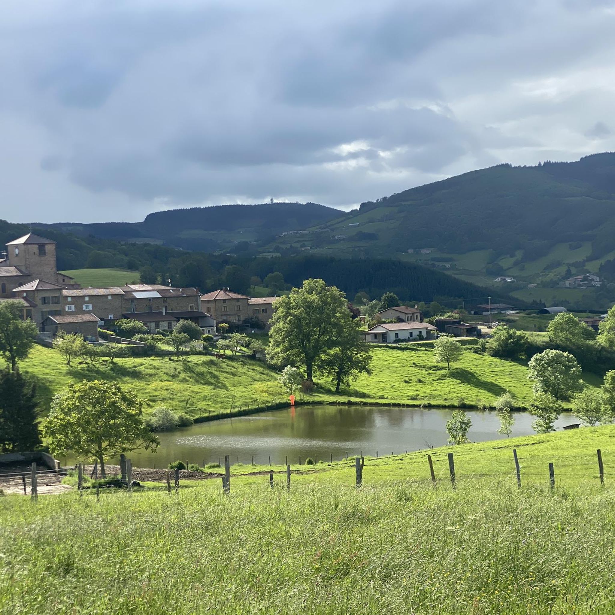
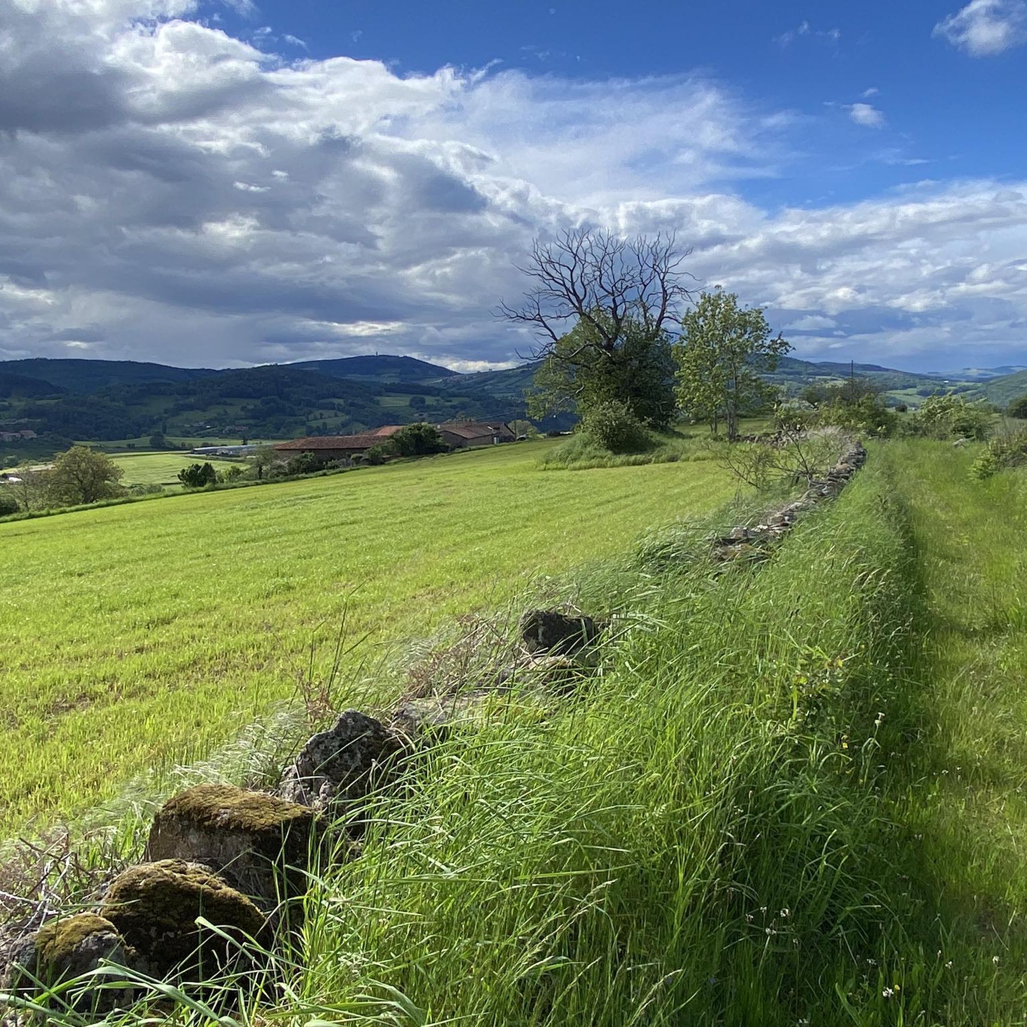
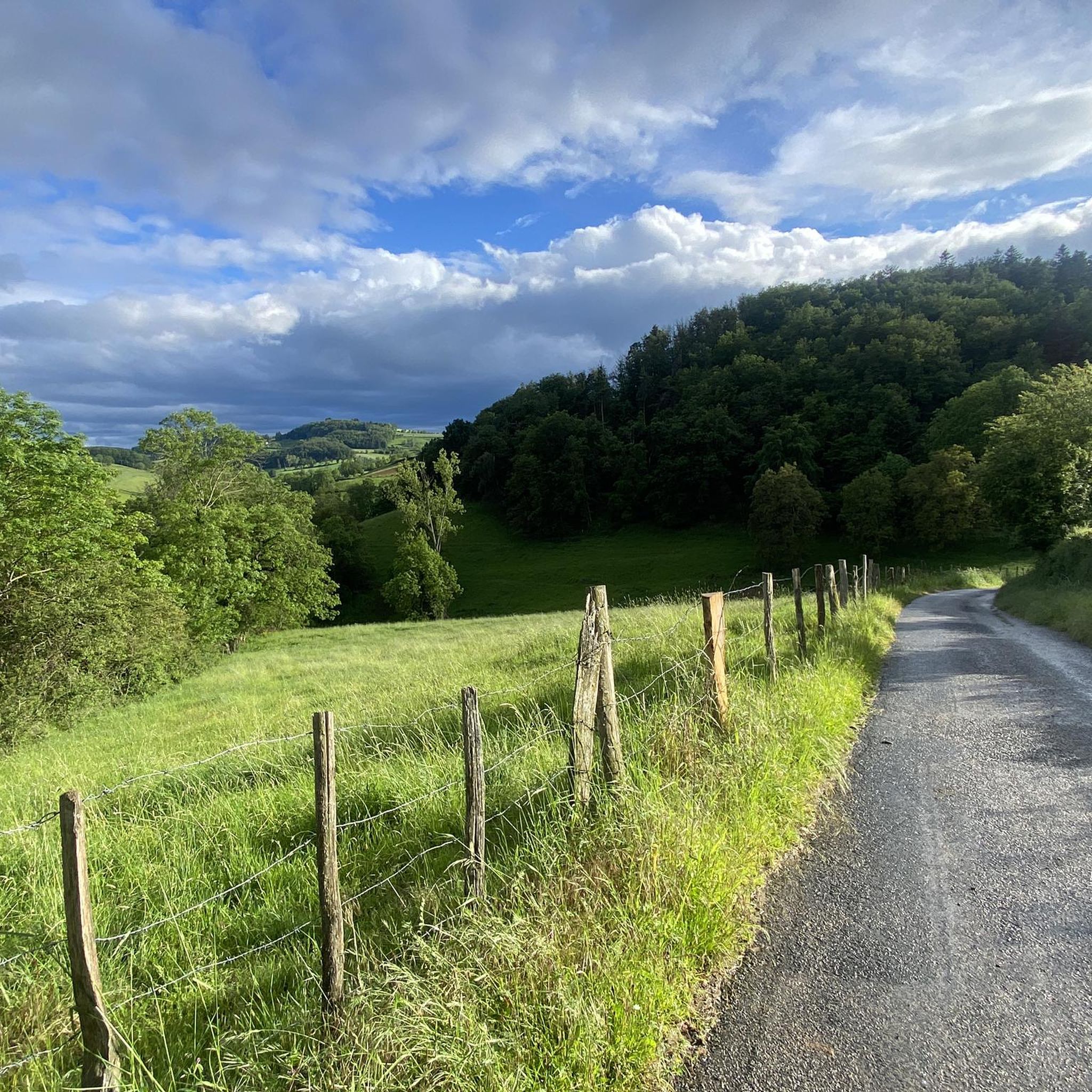
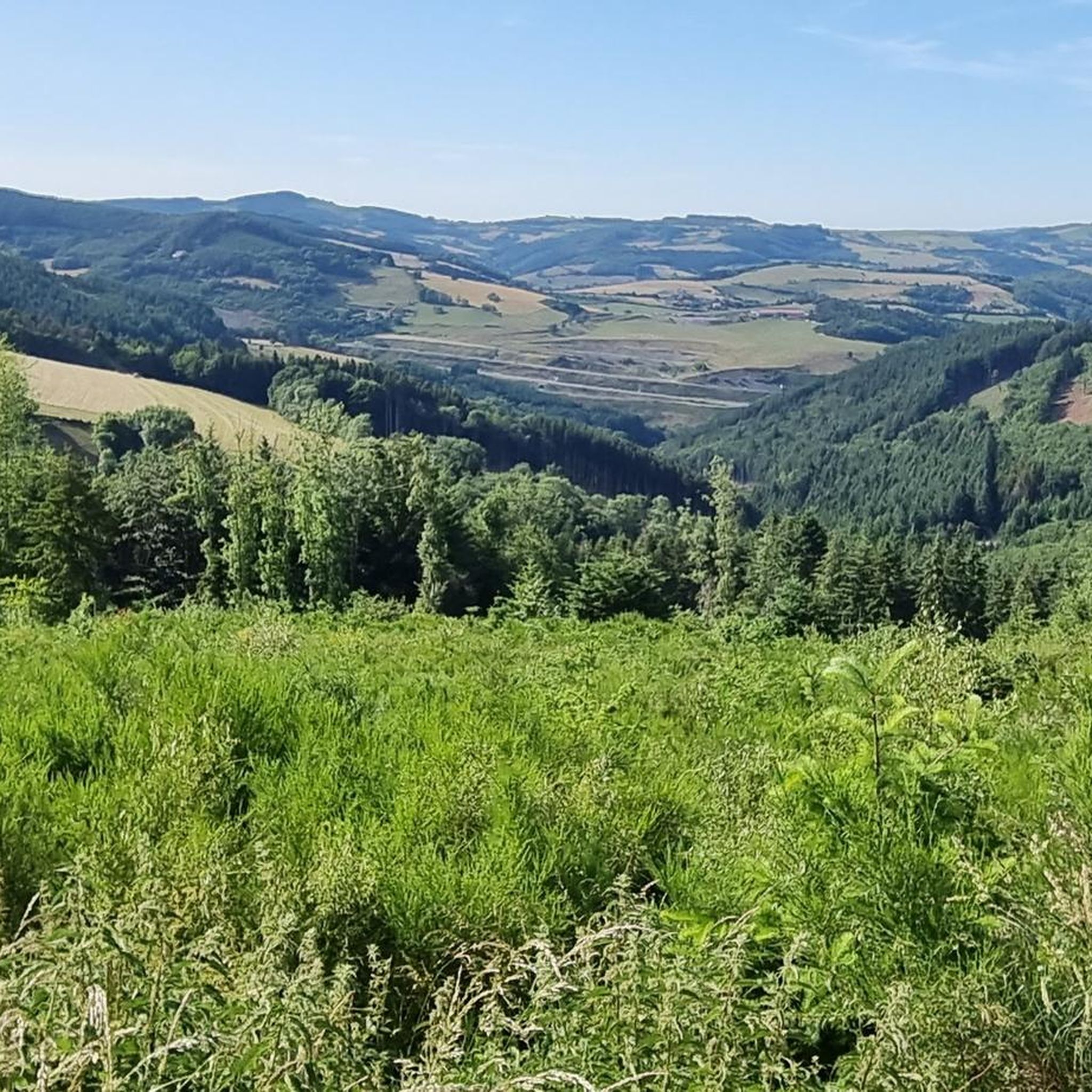
Tips from the Community


Pretty church in the middle of Violay
0
0

Former factory halls for the treatment of fabrics.
1
0
Nice location with a good street food menu and all Ninkasi beers on tap and including a small sales outlet with the entire range of gin, vodka, whiskey and beers that the brewery has at the second location in town (on the road towards Clermont- located in Ferrand).
1
0

Pretty long pass on the Tarare side with a constant slope around 5%. Delimits the watershed line between the Rhône and the Loire. Do not hesitate to climb to Mont Boussuivre by extending a few hundred meters and climb to the top of the Matagrin tower to enjoy a magnificent view of the whole region.
0
0

Pretty 360 degree view of the Montagne de Tarare and the vineyards.
3
0
Small village of Affoux, with a very beautiful view of the Monts du Lyonnais and Mont Blanc on a clear day.
1
0

Built in 1876, the tower was topped with a pointed roof. At the time, it served as a hunting meeting place for a local notary, Master Matagrin, then became a drinking establishment and even welcomed dance enthusiasts. A Napoleonic terminal was inserted next to the entrance door with the inscription: "Point trigo Napoléon Empereur Nov 1812".
0
0
Frequently Asked Questions
How many hiking trails are available around Saint-Marcel-l'Éclairé?
There are over 220 hiking routes in the Saint-Marcel-l'Éclairé area, catering to various skill levels. This includes 58 easy routes, 130 moderate routes, and 33 difficult trails, ensuring options for everyone from beginners to experienced hikers.
What kind of natural landscapes will I encounter on hikes in Saint-Marcel-l'Éclairé?
Hikers in Saint-Marcel-l'Éclairé will experience diverse landscapes, from extensive woodlands like the departmental forest of Brou to varied hilly terrain with elevations ranging from 360 to 843 meters. You can also find tranquil sections along the Turdine river and the peaceful Henri Debourg pond.
Are there any notable viewpoints or panoramic vistas in the region?
Yes, the region is known for its stunning panoramic views. From higher points like the Table d'orientation du Loup and the Tour Matagrin, you can enjoy magnificent vistas over the Lyonnais and Beaujolais areas. On clear days, distant glimpses of Mont Blanc and the entire Alpine mountain range are possible.
What do other hikers enjoy most about the trails in Saint-Marcel-l'Éclairé?
The trails in Saint-Marcel-l'Éclairé are highly rated by the komoot community, with an average score of 4.7 stars from over 250 reviews. Hikers frequently praise the diverse terrain, the beautiful panoramic views, and the well-maintained paths that offer a rewarding outdoor experience.
Are there any family-friendly hiking options in Saint-Marcel-l'Éclairé?
Yes, Saint-Marcel-l'Éclairé offers family-friendly trails. Some routes are specifically designed to be accessible for families, including a 5 km loop that takes approximately 1 hour and 50 minutes, which can feature engaging activities like 'Randoland' with riddles for children.
Can I find circular hiking routes in Saint-Marcel-l'Éclairé?
Many of the hiking routes in Saint-Marcel-l'Éclairé are circular, allowing you to start and end at the same point. An example is the moderate Affoux – Matagrin Tower loop from Affoux, which covers nearly 10 km.
What are some interesting landmarks or attractions I can see while hiking?
Beyond natural beauty, you can incorporate cultural and historical sites into your hikes. The superb fortified medieval village of Ternand is a significant attraction. You might also encounter the old Chapelle de Ronzière along some circuits, or visit the Croix de Paisselay.
Are dogs allowed on the hiking trails in Saint-Marcel-l'Éclairé?
Generally, dogs are welcome on most hiking trails in the Saint-Marcel-l'Éclairé area, provided they are kept under control, especially around livestock or in populated areas. Always ensure to follow local regulations and clean up after your pet.
Are there any easy trails suitable for beginners?
Yes, there are 58 easy routes available, perfect for beginners or those looking for a relaxed walk. An example is the Matagrin Tower loop from Affoux, an easy 5.7 km trail that offers views from the Matagrin Tower.
What is the typical duration for hikes in this region?
Hike durations vary widely depending on the route and your pace. Easy trails like the Matagrin Tower loop from Affoux can take around 1 hour 43 minutes. Moderate routes, such as the View of the Hills Above Tarare – Chez Bardin loop from Tarare, typically take about 3 hours 19 minutes to complete.
Are there places to rest or have a picnic along the trails?
Yes, the Henri Debourg pond (L'étang Henri Debourg) is a tranquil spot equipped with picnic tables and benches, making it an ideal place for a break or a leisurely stroll during your hike.
What is the best time of year to go hiking in Saint-Marcel-l'Éclairé?
Saint-Marcel-l'Éclairé, with its 'l'Éclairé' (enlightened/brightened) name, often enjoys a sunny climate. Spring and autumn generally offer pleasant temperatures and beautiful scenery for hiking. Summer is also suitable, with many trails traversing shaded forest edges.
Most popular routes around Saint-Marcel-L'Éclairé
Most popular attractions around Saint-Marcel-L'Éclairé

Get inspired with the komoot mobile app


Explore more
Browse the best Hikes in other regions.
