The best walks and hikes around Marcellois
4.3
(38)
261
hikers
13
hikes
Hiking around Marcellois offers varied terrain, characterized by rock formations, woodlands, and open landscapes. The region features a mix of gentle paths and more challenging ascents, providing diverse experiences for hikers. Trails often lead through natural areas, including features like the Saffres Rocks and local reservoirs. The landscape provides opportunities for both short walks and longer routes.
Best hiking trails around Marcellois
- The most popular hiking route is Tour of the Saffres Rocks, a 12.5 miles (20.1 km) trail…
Last updated: July 6, 2026
4.0
(3)
12
hikers
20.1km
05:37
380m
380m
Hike the difficult 12.5-mile Tour of the Saffres Rocks, featuring dramatic limestone cliffs and panoramic views near Vitteaux.
5.0
(3)
6
hikers
10.7km
03:01
220m
220m
Moderate hike. Good fitness required. Easily-accessible paths. Suitable for all skill levels.

Sign up for free
5.0
(1)
7
hikers
16.5km
04:42
350m
350m
Moderate hike. Good fitness required. Easily-accessible paths. Suitable for all skill levels.
3.0
(1)
5
hikers
4.47km
01:13
60m
60m
Easy hike. Great for any fitness level. Easily-accessible paths. Suitable for all skill levels.
8
hikers
1.56km
00:24
0m
0m
Easy hike. Great for any fitness level. Easily-accessible paths. Suitable for all skill levels.
Get access to more routes and recommendations from other explorers.
Sign up for free
Already have an account?
Our route recommendations are based on thousands of hikes, rides, and runs completed by other people on komoot.
Start today with a free account
Your next adventure awaits.
Login or Signup



Tips from the Community

Vitteaux is the starting point for two signposted circular hikes: to the archaeological site of “Camp de Myard” or to the rocks of Saffres.
1
0

Great view over the surrounding landscape and many smaller and larger caves to explore at the base of the cliff.
3
0

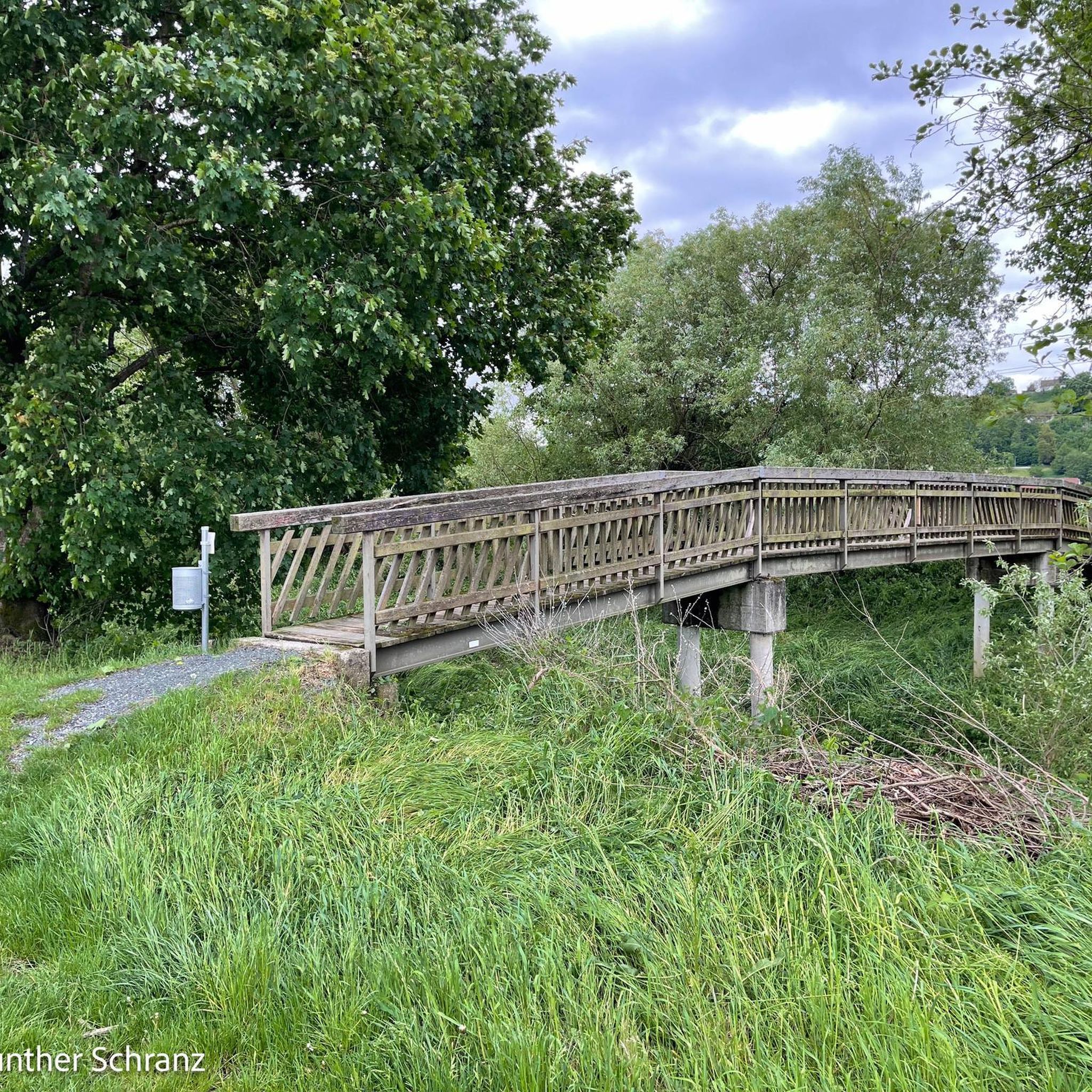
This reservoir supplies the Burgundy Canal. Its construction was completed in 1838. The site is classified in the National Inventory of Natural Heritage as a type 1 natural zone of ecological, fauna and flora interest.
0
0

Very nice place for campsite while bikepacking. The location is quite used by locals. But Beware water at the graveyard next to it is not drinkable!
1
0

A popular site for rock climbers, but these cliffs and rocks have something to offer hikers too - magnificent views as far as the eye can see.
4
0

Vitteaux is a municipality with about 1000 inhabitants (as of January 1, 2019) in the Côte-d'Or department in the Burgundy region and is the capital of the canton of Semur-en-Auxoi. The beautiful Brenne river flows through the village. In a one-hour tour, starting at the tourist information - where there are also flyers - you can visit the sights (market hall, octagonal tower, several half-timbered houses from the 15th-17th century, Hospital Saint-Nicolas).
2
0

Nice trail with a view of Massingy
2
0

It is one of the supply reservoirs of the Canal de Bourgogne. Located in the town of Grosbois-en-Montagne. It is a place for fishing and also for swimming in the summer, with an equipped beach.
1
1
Frequently Asked Questions
How many hiking trails are available around Marcellois?
There are over 15 hiking trails around Marcellois, offering a variety of experiences from easy strolls to more challenging ascents. The region's landscape is characterized by rock formations, woodlands, and open areas.
Are there easy hiking trails suitable for beginners in Marcellois?
Yes, Marcellois offers several easy hiking trails perfect for beginners. For instance, the Falaise de Saffres loop from Saffres is an easy 3.2-mile (5.1 km) path with gentle gradients and views of the Saffres cliffs.
What are the typical distances of hiking trails around Marcellois?
Hiking trails in Marcellois vary significantly in length. You can find shorter routes like the 3.2-mile (5.1 km) Falaise de Saffres loop, up to longer, more demanding trails such as the Tour of the Saffres Rocks, which spans 12.5 miles (20.1 km).
Are there any family-friendly hiking options in Marcellois?
Many of the easier trails around Marcellois are suitable for families. The region's gentle paths through woodlands and open landscapes provide pleasant walks for all ages. Consider routes with less elevation gain for younger children.
What kind of terrain can I expect on hikes in Marcellois?
The terrain around Marcellois is varied, featuring rock formations, dense woodlands, and open landscapes. Trails can range from gentle paths to more challenging ascents, often leading through natural areas and sometimes near reservoirs.
Are there any circular hiking routes in Marcellois?
Yes, Marcellois has several circular hiking routes. A popular option is the Vitteaux 🏡🏛 loop from Vitteaux, a 6.6-mile (10.7 km) trail that takes you through varied countryside. Another is the Historic dam loop from Grosbois-en-Montagne, which is 5.8 miles (9.4 km).
What can I see along the hiking trails in Marcellois?
Along the hiking trails, you can explore various points of interest. Notable attractions include the dramatic Falaise de Saffres, the historic Historic dam, and the natural beauty of Les Roches de Beaume. Some routes also pass by the Entrance to the Tunnel of the Burgundy Canal.
What do other hikers enjoy the most about hiking in Marcellois?
The area is highly rated by the komoot community, with an average score of 4.3 stars from over 40 reviews. Hikers often praise the varied terrain, which includes impressive rock formations and tranquil woodlands, offering diverse experiences for all ability levels.
Is public transport available to reach hiking trailheads in Marcellois?
Public transport options directly to specific trailheads in the rural Marcellois region may be limited. It is generally recommended to use a car for convenient access to most starting points. Always check local transport schedules in advance if planning to rely on public services.
Are there any advanced or difficult hiking routes in Marcellois?
Yes, for experienced hikers seeking a challenge, Marcellois offers difficult routes with significant elevation changes. The Tour of the Saffres Rocks is a prime example, covering 12.5 miles (20.1 km) with notable ascents and descents, providing expansive views of the rock formations.
What is the best time of year for hiking in Marcellois?
Spring and autumn generally offer the most pleasant hiking conditions in Marcellois, with mild temperatures and beautiful scenery. Summer can also be enjoyable, though it's advisable to start early to avoid the midday heat. Winter hiking is possible but requires appropriate gear for potentially colder and wetter conditions.
Are dogs allowed on the hiking trails in Marcellois?
Most hiking trails in Marcellois are dog-friendly, but it's always recommended to keep your dog on a leash, especially in areas with livestock or wildlife. Please ensure you clean up after your pet to maintain the natural environment for everyone.
Most popular routes around Marcellois
Most popular attractions around Marcellois

Get inspired with the komoot mobile app


Explore more
Browse the best Hikes in other regions.
