The best mountain hikes around Tavera
5.0
(5)
25
hikers
5
hikes
Mountaineering routes around Tavera are situated in the mountainous heart of Corsica, characterized by rugged landscapes and diverse natural features. The region is dominated by high mountain massifs and extensive chestnut forests, providing a challenging environment for mountaineers. Peaks exceeding 2,000 meters are common, with Monte Cintu being the highest at 2,710 meters, all protected within the Parc Naturel Régional de Corse. This area offers a variety of terrain, from deep gorges to alpine lakes, suitable for demanding ascents.
Best…
Last updated: June 28, 2026
5.0
(1)
7
hikers
9.74km
04:31
620m
620m
Moderate mountaineering route. Good fitness required. Mostly accessible paths. Sure-footedness required.
5.0
(2)
11
hikers
Hard mountaineering route. Good fitness required. Sure-footedness, sturdy shoes and alpine experience required.

Sign up for free
5.0
(1)
4
hikers
3.82km
01:15
120m
120m
Moderate mountaineering route. Great for any fitness level. Mostly accessible paths. Sure-footedness required.
5.0
(1)
1
hikers
6.00km
02:59
450m
450m
Hard mountaineering route. Good fitness required. Sure-footedness, sturdy shoes and alpine experience required.
2
hikers
25.2km
10:37
1,470m
1,470m
Hard mountaineering route. Very good fitness required. Sure-footedness, sturdy shoes and alpine experience required.
Our route recommendations are based on thousands of hikes, rides, and runs completed by other people on komoot.
Start today with a free account
Your next adventure awaits.
Login or Signup
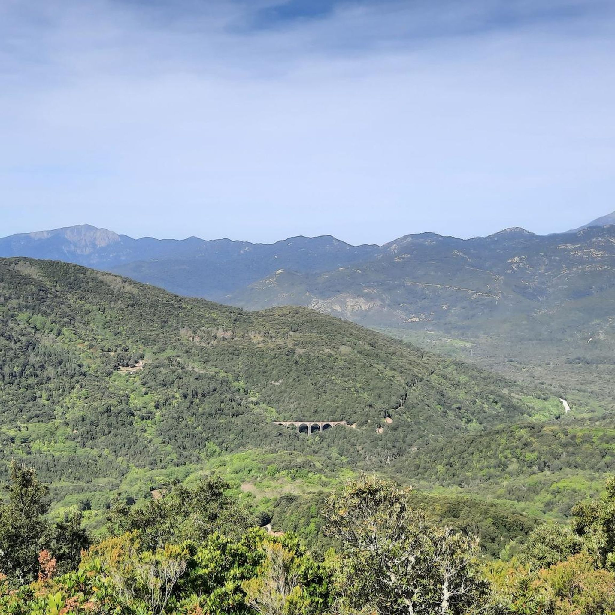
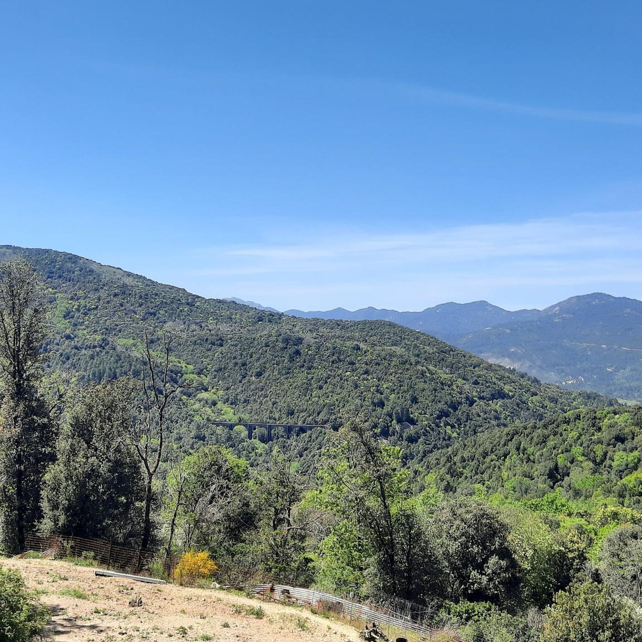
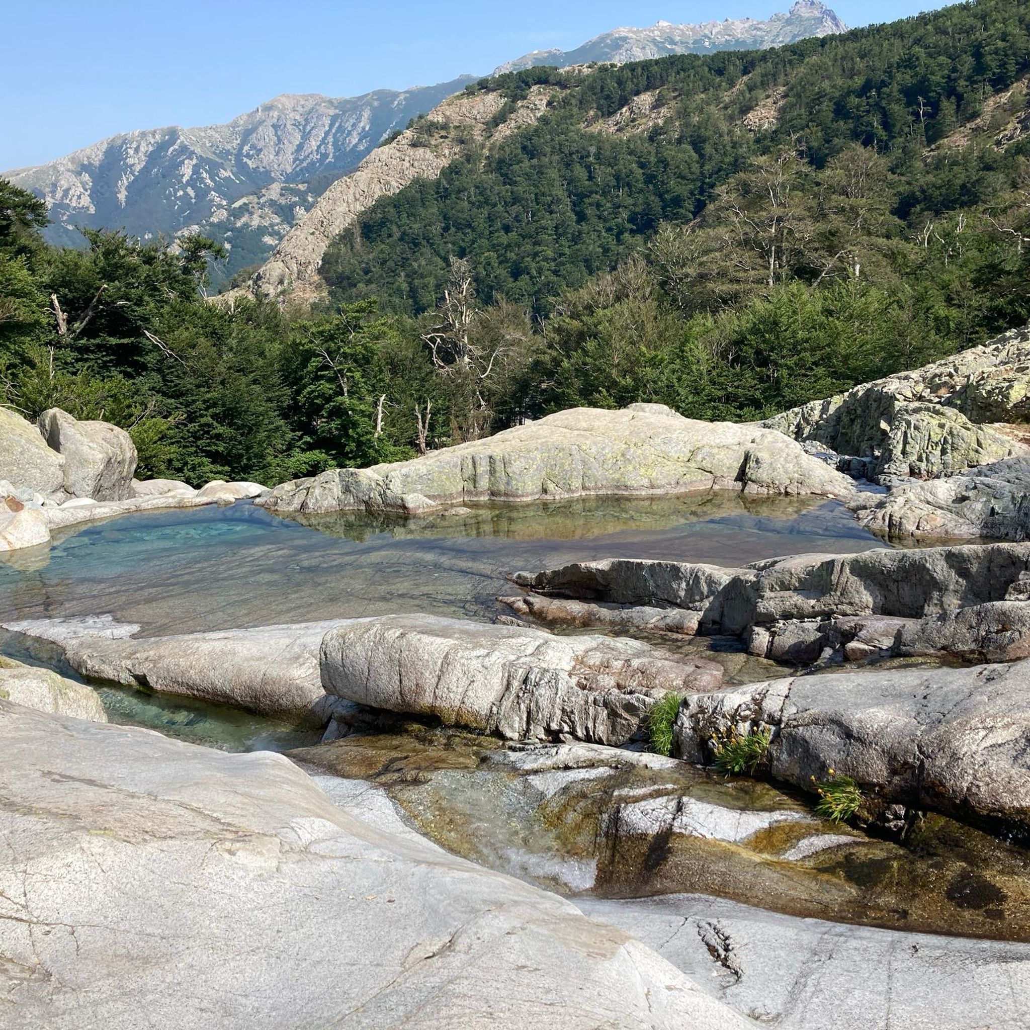
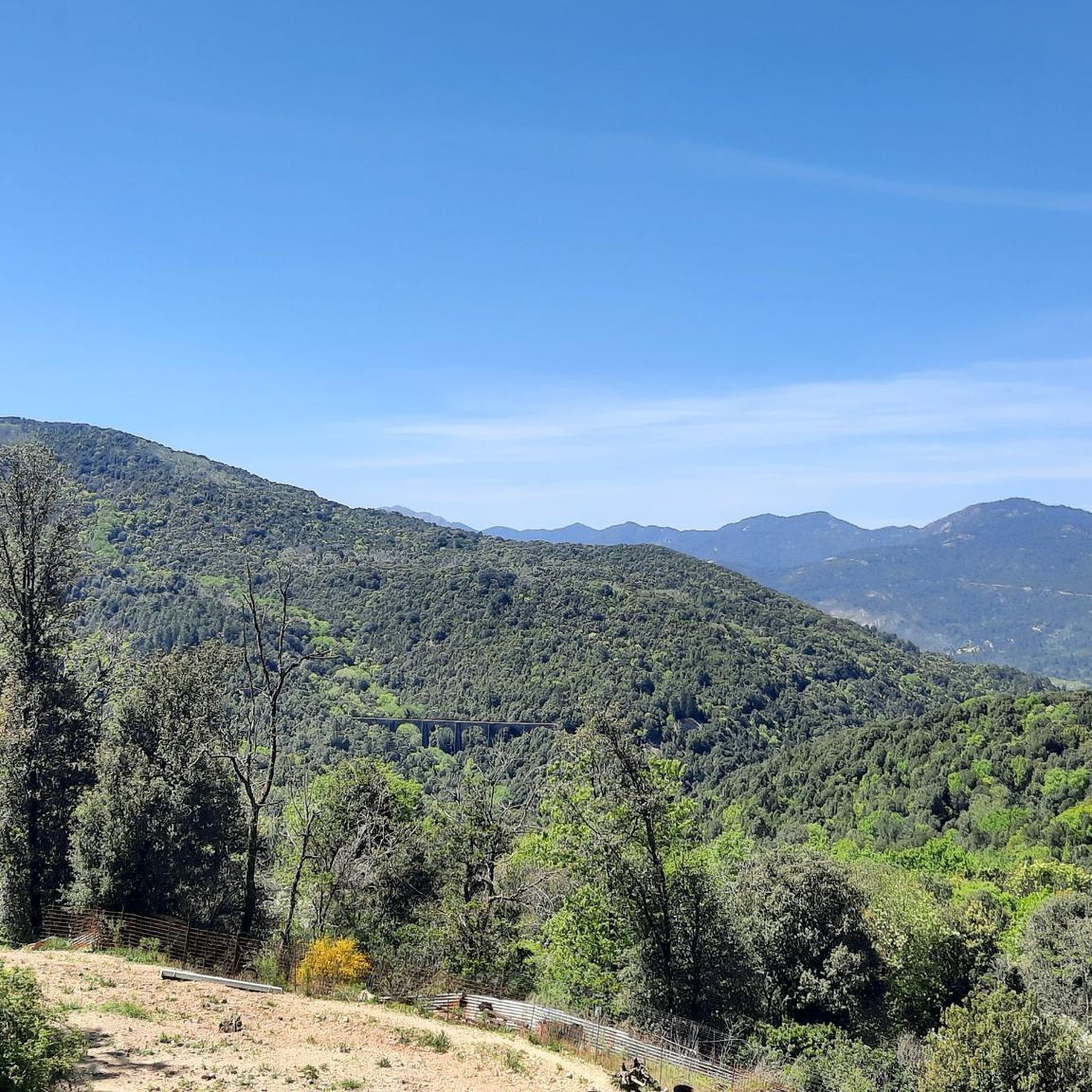
Tips from the Community


wonderfully beautiful here, simply magical
0
0

The cheese tastes super delicious here 😋 If you ask nicely, you can get a private tour of the cheese dairy. There is a drinking water source. Since it was already late, we were allowed to pitch our tents nearby, sheltered from the wind (see photo of tent in the cave)
0
0


Bring your swimming gear. There is a deep pool in front of the waterfall.
0
0

Instead of pasta, paninis, and cakes, they serve entrecôte and salad. Not for cyclists or hikers.
0
0

Frequently Asked Questions
What makes Tavera a unique destination for mountaineering?
Tavera is nestled in the mountainous heart of Corsica, offering a truly rugged and diverse landscape for mountaineers. The region is characterized by high mountain massifs, extensive chestnut forests, and peaks exceeding 2,000 meters, including Monte Cintu. It's all protected within the Parc Naturel Régional de Corse, providing a challenging environment with deep gorges and pristine alpine lakes.
Are there any mountaineering routes suitable for beginners or those looking for a moderate challenge?
Yes, while many routes are difficult, there are options for moderate challenges. For instance, the Refuge Col de Verde – Bocca d'Oro loop from Col de Verde is a moderate 4.6-mile path traversing forested slopes with panoramic views. Another moderate option is the Vizzavona Forest – Vizzavona Fort ruins loop from Col de Vizzavona, which is shorter at 3.8 miles and offers a less strenuous ascent.
What kind of scenic viewpoints or natural attractions can I expect along the mountaineering routes near Tavera?
The routes around Tavera offer breathtaking natural beauty. You can expect stunning views of high mountain terrain, especially around areas like Lac de Bastani and Punta Bacinello. Many trails also lead through alpine meadows and past natural pools, such as those found on the Les Pozzi de Bastelica – Pozzi Seen loop. The region is also known for its dramatic rock formations like the Aiguilles de Bavella, though not directly on these specific routes, they are characteristic of Corsica's mountainous landscape.
Are there any circular mountaineering routes available around Tavera?
Yes, several routes are designed as loops, allowing you to start and end at the same point. Examples include the challenging Punta Bacinello – Lac du Bastani loop from Ghisoni, the moderate Refuge Col de Verde – Bocca d'Oro loop from Col de Verde, and the Les Pozzi de Bastelica – Pozzi Seen loop from Réserve biologique intégrale de Punteniellu. These circular paths offer varied scenery without retracing your steps.
What is the best time of year for mountaineering in Tavera?
The best time for mountaineering in Tavera is typically from late spring to early autumn (May to October). During these months, the weather is generally more stable, and trails are free of snow at lower to mid-altitudes. Higher peaks might retain snow into early summer. For winter mountaineering, specialized gear and experience are essential due to snow and ice conditions.
Are there any facilities like huts or places to rest along the mountaineering trails?
Yes, the region offers several huts and shelters that can be useful for longer treks or as resting points. Notable options include the Refuge of Capannelle, Bivouac / L'Onda Shelter, and Pozzi mountain huts. These can provide a welcome break or overnight accommodation, depending on your route and planning.
What do other mountaineers enjoy most about the routes around Tavera?
The mountaineering routes around Tavera are highly rated by the komoot community, with an average score of 5.0 stars from 16 reviews. Users frequently praise the challenging yet rewarding terrain, the stunning views of alpine lakes and mountain peaks, and the sense of immersion in Corsica's wild natural beauty. The variety of routes, from moderate to difficult, is also appreciated.
How long do the mountaineering routes typically take to complete?
The duration of mountaineering routes around Tavera varies significantly based on difficulty and distance. For example, the moderate Vizzavona Forest – Vizzavona Fort ruins loop can be completed in about 1 hour 15 minutes. More challenging routes like the Punta Bacinello – Lac du Bastani loop typically take around 4 hours, while the Les Pozzi de Bastelica – Pozzi Seen loop can take nearly 5 hours. Always check the estimated duration for your chosen route.
Are there any specific recommendations for multi-day mountaineering trips in the Tavera area?
While the provided routes are primarily day trips, Tavera's location within the Corsican mountains makes it an excellent base for multi-day expeditions. The renowned GR20 trail, considered one of Europe's toughest long-distance hikes, traverses the Corsican mountains and passes through areas like the Bavella Needles. You can plan sections of this trail or link several local routes, utilizing the mountain huts for overnight stays, to create a multi-day adventure.
What kind of gear should I bring for mountaineering in Tavera?
Given the rugged and often challenging terrain, essential gear includes sturdy hiking boots with good ankle support, appropriate layers of clothing for varying weather conditions (even in summer, mountain weather can change quickly), a waterproof jacket, sufficient water and snacks, a map and compass or GPS device, and a first-aid kit. For more difficult or winter routes, additional gear like trekking poles, crampons, or an ice axe may be necessary.
Can I find routes that involve water features like lakes or rivers?
Absolutely. The region is rich in water features. The Punta Bacinello – Lac du Bastani loop offers views of Lac de Bastani. The Les Pozzi de Bastelica – Pozzi Seen loop leads past natural pools known as 'Pozzi'. Additionally, the Gravona River – New bridge loop from Bocognano follows the Gravona River, providing a different kind of water-centric experience.
Most popular routes around Tavera
Most popular attractions around Tavera

Get inspired with the komoot mobile app


Explore more
Browse the best Mountain Hikes & Routes in other regions.
