The best walks and hikes around Brianny
4.5
(207)
1,050
hikers
59
hikes
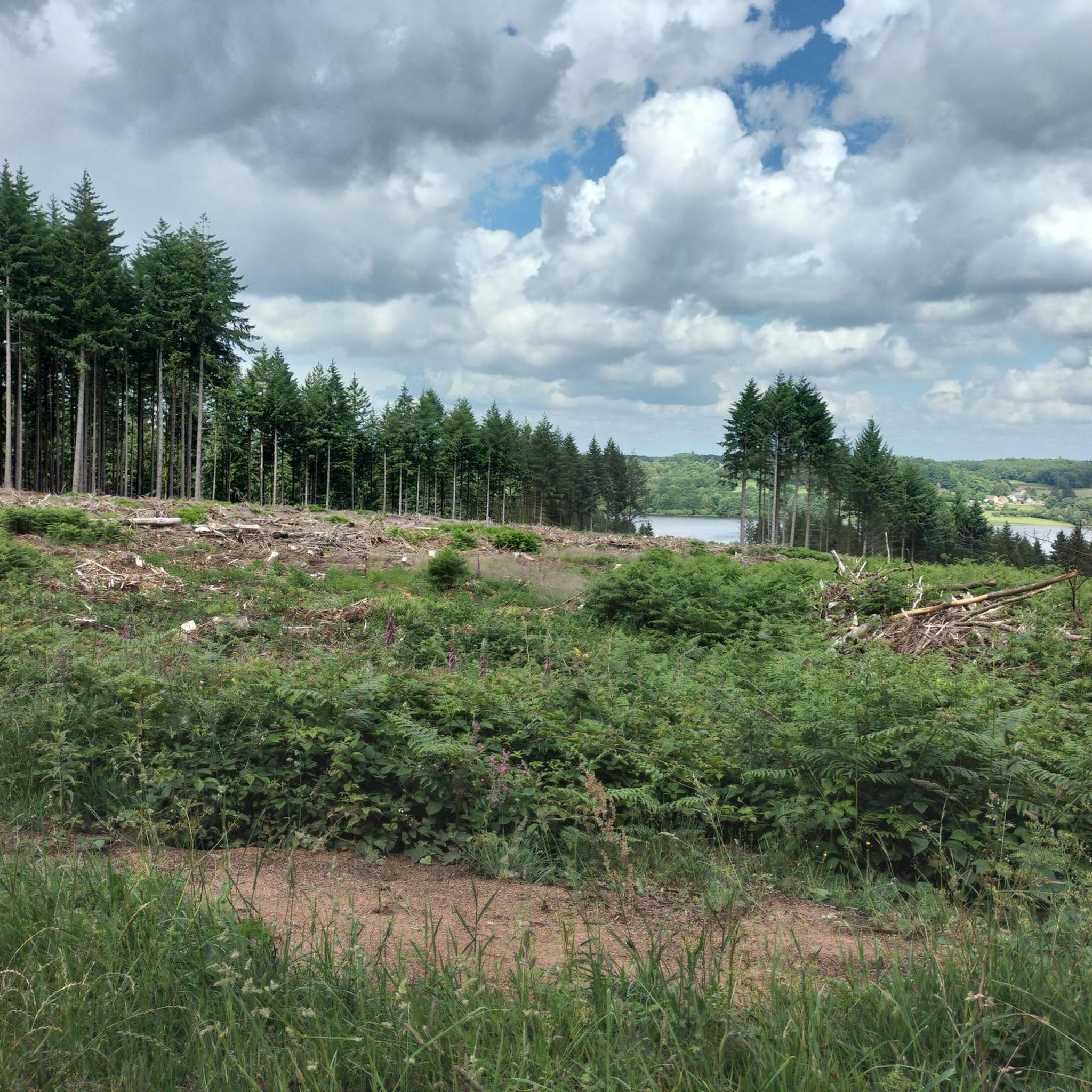
Hiking around Brianny offers access to the varied landscapes of the region, including parts of the Parc naturel régional du Morvan. The terrain features rolling hills, with routes often incorporating historical sites and natural water features. Elevations are generally moderate, making the area suitable for a range of hiking abilities. The region is characterized by a mix of woodlands and open countryside.
Best hiking trails around Brianny
- The most popular hiking route is Le château de Thil — loop from…
Last updated: November 2, 2026
4.6
(9)
20
hikers
Moderate hike. Good fitness required. Easily walkable paths.
4.8
(10)
42
hikers
7.56km
02:01
80m
80m
Moderate hike. Good fitness required. Easily walkable paths.

4.0
(3)
27
hikers
6.64km
01:47
80m
80m
Easy hike. Easily walkable paths.
4.6
(5)
22
hikers
9.50km
02:32
100m
100m
Moderate hike. Good fitness required. Easily walkable paths.
19
hikers
3.79km
00:59
20m
20m
Easy hike. Easily walkable paths.
Get access to more routes and recommendations from other explorers.
Already have an account?
Our route recommendations are based on thousands of hikes, rides, and runs completed by other people on komoot.
Start today with a free account
Your next adventure awaits.




Tips from the Community

Semur-en-Auxois can be reached by a cycle path and also by the Burgundy Canal.
0
0

Small cute village with access to Lake Armançon, There is a beach and a nautical base where you can rent a boat or a kayak. There is also a small park in front of the lake where you can take a short break.
0
0

Beautiful view of the 3 sunken bridges (only visible when the reservoir is not full)
0
0

Unfortunately the chateau is closed. Lt. Signage throughout 2023
0
0

The Armancon dam is a truly amazing work of architecture and the trek to the top is a pleasure.
2
0
Thil Castle is not open at the moment, but it is still a sight to enjoy while strolling around. Although in ruins, it remains impressive.
2
0

Just three kilometers from Semur-en-Auxois, the L'Armancon dam is located above Pont-et-Massène. The dam wall is accessible, offers a beautiful view of the lake and you can include it in a hiking tour around the lake. The dam serves to regulate the water flow and as a reservoir for the Canal de Bourgogne.
1
0
Small nice sandy beach, directly at the dam. There are changing rooms, a small restaurant on the beach 🏖 and a mobile snack sale at the entrance.
1
0
Frequently Asked Questions
How many hiking trails are available around Brianny?
Brianny offers a diverse network of over 60 hiking trails. These routes explore the varied landscapes of the Parc naturel régional du Morvan, featuring rolling hills, woodlands, and open countryside.
Are there hiking trails for all skill levels in Brianny?
Yes, the hiking trails around Brianny cater to a range of abilities. You'll find approximately 30 easy routes for leisurely strolls, 28 moderate trails for those seeking a bit more challenge, and a couple of more difficult options for experienced hikers. The elevations are generally moderate, making the area accessible.
What kind of natural features and landmarks can I expect to see on hikes in Brianny?
Hikes in Brianny often feature a mix of natural beauty and historical interest. You can explore areas around the Pont-et-Massène Dam and the tranquil Lac de Pont. Historical sites like Saint-Thibault and the ancient Pont Pinard are also accessible along various routes, offering glimpses into the region's past.
Are there many circular hiking routes in Brianny?
Yes, many of the trails around Brianny are designed as loops, allowing you to start and finish at the same point. For example, the Hiking loop from Villeneuve-sous-Charigny is a moderate 9.5 km route, and the Pont-et-Massène Dam – Pont Lake Beach loop from Pont-et-Massène offers an easy 3.8 km option.
What do other hikers enjoy most about hiking in Brianny?
The area is highly rated by the komoot community, with an average score of 4.5 stars from over 150 reviews. Hikers often praise the region for its varied terrain, the presence of historical sites, and the tranquil lake and river paths that make for enjoyable and scenic walks.
Are there any family-friendly hiking options in Brianny?
Yes, Brianny offers several easy trails suitable for families. The Pont-et-Massène Dam – Pont Lake Beach loop from Flée is an easy 6.6 km trail that takes about 1 hour 47 minutes, perfect for a family outing near the water.
Can I bring my dog on the hiking trails in Brianny?
While specific regulations for each trail can vary, the Parc naturel régional du Morvan generally welcomes dogs on trails, often requiring them to be on a leash to protect wildlife and ensure the comfort of other hikers. It's always a good idea to check local signage at trailheads.
What is the best time of year to go hiking in Brianny?
The region's moderate elevations and mix of woodlands and open countryside make it enjoyable for hiking across multiple seasons. Spring and autumn offer pleasant temperatures and beautiful scenery, while summer is ideal for enjoying the water features. Winter hiking is possible, but conditions may vary.
Are there any historical sites to explore while hiking in Brianny?
Absolutely. Many routes incorporate historical sites. For instance, the Le château de Thil — loop from Précy-sous-Thil passes by the historic Château de Thil. Another trail, the Washhouse – Old Forges of the Serein loop from Précy-sous-Thil, features historical washhouses and old forges along the Serein river.
Are there any places to eat or stay near the hiking trails in Brianny?
While specific establishments aren't detailed for each trail, the region around Brianny, being part of the Parc naturel régional du Morvan, offers various local villages and towns where you can find cafes, pubs, and accommodation options. It's advisable to check in nearby towns like Précy-sous-Thil or Flée for amenities.
Most popular attractions around Brianny

Get inspired with the komoot mobile app


Explore more
Browse the best Hikes in other regions.
