The best running trails around Saint-Bénigne
4.6
(21)
868
runners
149
runs
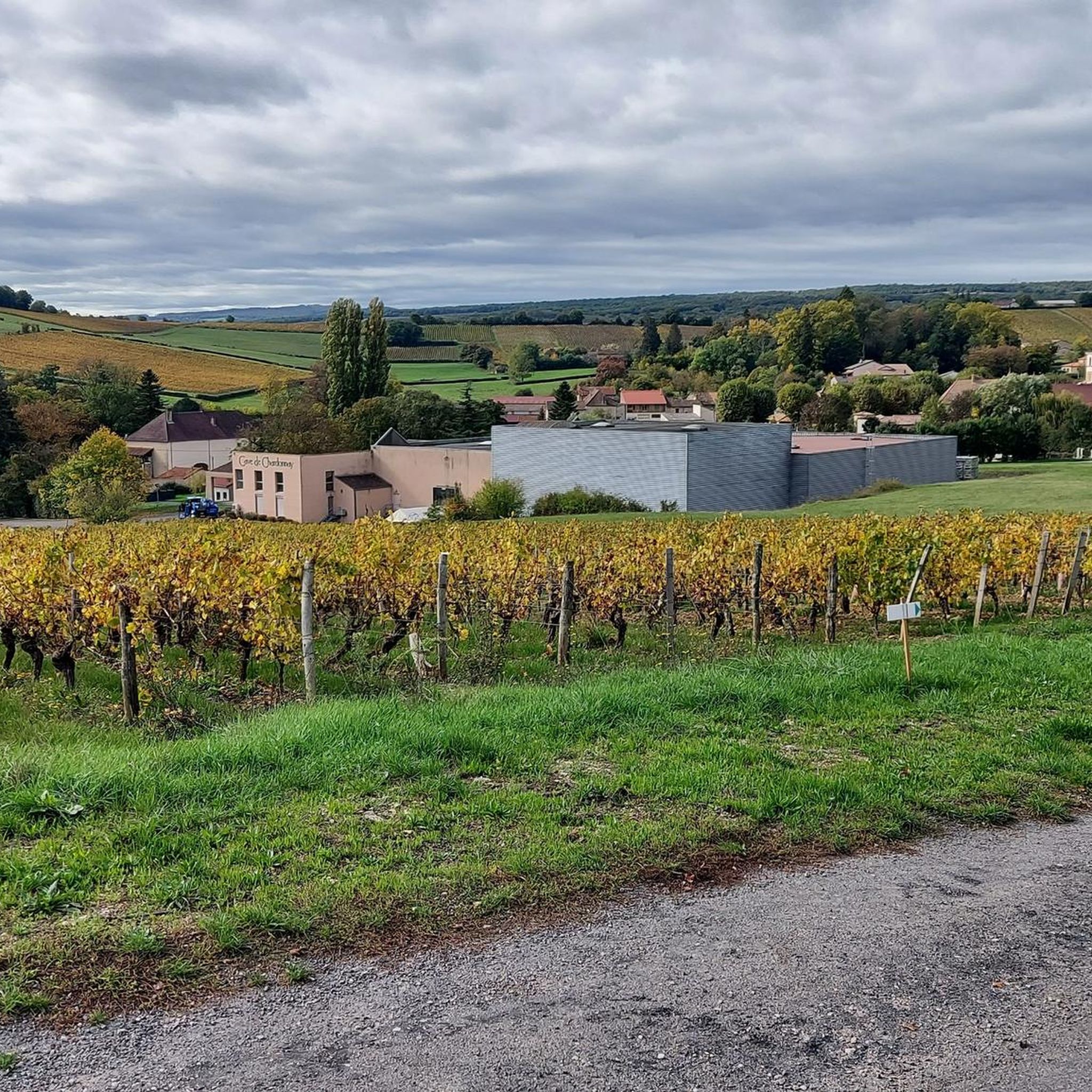
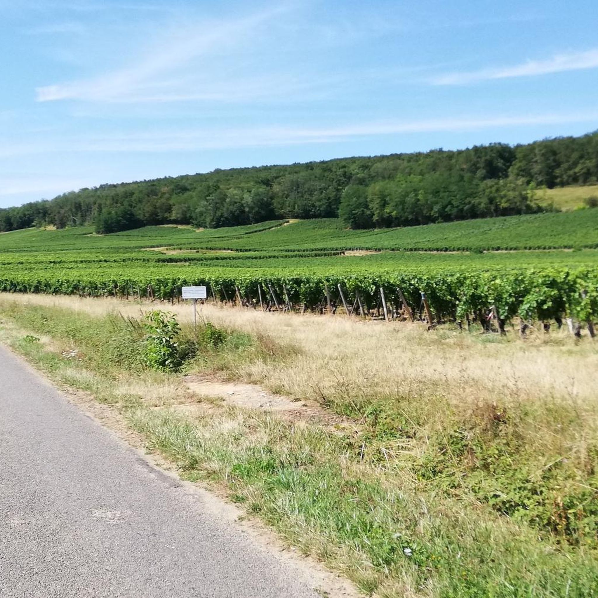
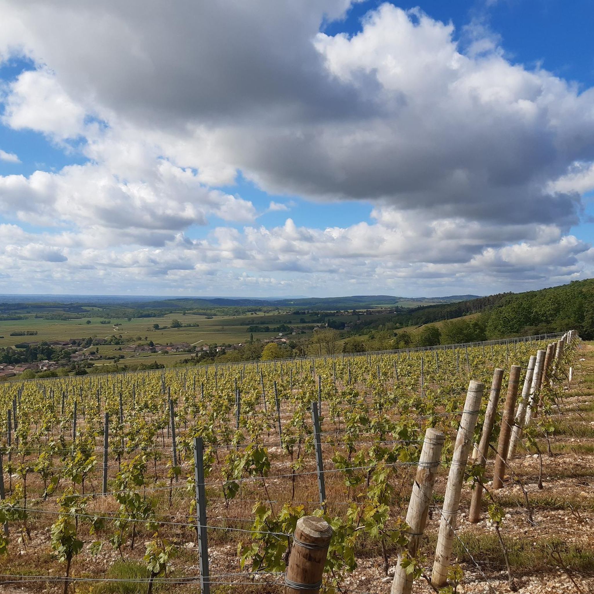
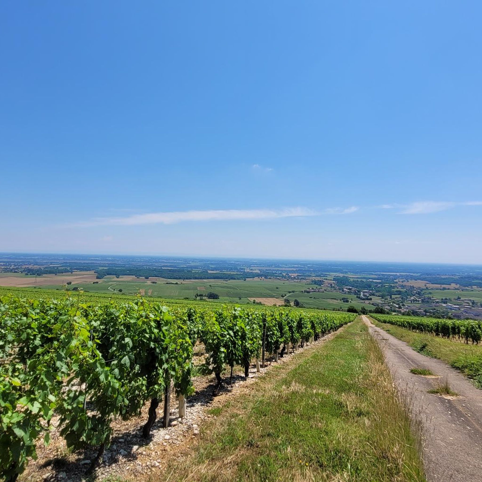
Jogging around Saint-Bénigne offers routes primarily through flat, agricultural landscapes and along waterways. The region is characterized by its network of canals and rivers, providing level paths suitable for running. Elevation changes are minimal, making for accessible running experiences. These routes often traverse open fields and follow the banks of the Saône River or local canals.
Best jogging routes around Saint-Bénigne
- The most popular jogging route is Canal de Pont-de-Vaux loop from Pont-de-Vaux, a 4.4 miles (7.1 km) trail…
Last updated: July 1, 2026
5.0
(2)
33
runners
13.4km
01:25
40m
40m
Moderate run. Good fitness required. Mostly paved surfaces. Suitable for all skill levels.
9
runners
10.4km
01:05
50m
50m
Moderate run. Good fitness required. Mostly paved surfaces. Suitable for all skill levels.

Sign up for free
8
runners
10.3km
01:04
50m
50m
Moderate run. Good fitness required. Mostly paved surfaces. Suitable for all skill levels.
11
runners
Hard run. Very good fitness required. Mostly paved surfaces. Suitable for all skill levels.
6
runners
10.5km
01:05
40m
40m
Moderate run. Good fitness required. Mostly paved surfaces. Suitable for all skill levels.
Get access to more routes and recommendations from other explorers.
Sign up for free
Already have an account?
Our route recommendations are based on thousands of hikes, rides, and runs completed by other people on komoot.
Start today with a free account
Your next adventure awaits.
Login or Signup

Tips from the Community

An idyllic, paved cycle path directly on the riverbank. It is a section of the well-known French long-distance cycle route „La Voie Bleue - Moselle-Saône Radweg" (Route V50) along the Saône. The entire long-distance cycle route covers around 700 kilometers from the Luxembourg border town of Apach (near the tripoint) to Lyon. The Saône section follows the natural meanders of the Saône, passing meadows, historic villages, and well-known wine-growing regions such as Mâcon. The route is mostly flat on former towpaths.
0
0
An idyllic, asphalted cycle path right on the riverbank. This is a section of the well-known French long-distance cycle route "La Voie Bleue - Moselle-Saône Radweg" (Route V50) along the Saône. The entire long-distance cycle route runs for around 700 kilometers from the French border town of Apach (near the tripoint) to Lyon. The Saône section follows the natural meanders of the Saône, passing meadows, historic villages, and well-known wine-growing regions such as Mâcon. The route runs mostly flat on former towpaths.
0
0
The Plan d'Eau de Fleurville (also known as Gravière de Fleurville) is a beautiful recreational and natural lake in the Saône-et-Loire department. The body of water is located directly on the border of the municipalities of Saint-Albain and Fleurville on the Saône. It is a former gravel pit that has been renatured and is today an important refuge for biodiversity as well as a popular excursion destination. The lake is equipped with picnic tables, fishing piers, and observation points. It is an excellent place for hiking, cycling (near the Voie Bleue cycle path), and birdwatching (e.g. for storks and migratory birds).
0
0

Along the Saône runs the unfortunately often unpaved, patchy Voie Bleu ("Blue Way"). Incidentally, there is only one Voie Bleu, unlike the Voies Vertes. From Wikivoyage.
1
0

Very flat, easy, although a little monotonous...
2
0

Watching the locks is always interesting.
3
0

From this passage of the Voie Bleue, we have a lovely view of the Saône. Depending on the weather, the color of the water alternates between blue and green.
3
0
At this point on the Voie Bleue, the Mouge flows into the Saône. The low water level favors vegetation and the places are known to fishermen for their fish-rich waters. It is a pleasant site for a break with a beautiful view of the river.
3
0
Frequently Asked Questions
How many running routes are available in Saint-Bénigne?
Saint-Bénigne offers a wide selection of running routes, with over 140 trails available. These include options for various fitness levels, from easy jogs to more challenging runs.
Are there easy running routes for beginners in Saint-Bénigne?
Yes, Saint-Bénigne has several easy running routes suitable for beginners. The region's flat, agricultural landscapes and canal paths make for accessible running experiences. You can find around 10 easy routes to get started.
Can I find circular running routes in Saint-Bénigne?
Absolutely. Many of the running routes in Saint-Bénigne are circular, allowing you to start and finish in the same location. An example is the Canal de Pont-de-Vaux loop from Pont-de-Vaux, which offers a flat, scenic path along the canal.
What are the typical lengths of running routes in Saint-Bénigne?
Running routes in Saint-Bénigne vary in length. You'll find shorter options, such as the 4.4-mile (7.1 km) Canal de Pont-de-Vaux loop from Pont-de-Vaux, as well as longer trails like the 8.3-mile (13.4 km) Fleurville Lock loop from Arbigny, catering to different preferences and fitness levels.
Are there scenic running routes with viewpoints in Saint-Bénigne?
While Saint-Bénigne is characterized by flat terrain, many routes offer scenic views along the Saône River and local canals, as well as through open fields. The Fleurville Lock loop from Arbigny, for instance, provides views of the river and surrounding countryside.
What kind of terrain can I expect on running trails around Saint-Bénigne?
The running trails around Saint-Bénigne are predominantly flat, traversing agricultural landscapes and following the banks of the Saône River or local canals. Elevation changes are minimal, making for generally easy and accessible running experiences on varied surfaces, often including paved paths and compacted dirt trails.
Are the running routes in Saint-Bénigne suitable for families?
Yes, many of the flat and well-maintained paths along the canals and rivers are suitable for families, especially those with younger runners or those looking for a leisurely jog. The minimal elevation makes them less strenuous.
Can I bring my dog on the running trails in Saint-Bénigne?
Many of the outdoor trails in Saint-Bénigne, particularly those along canals and through open fields, are generally dog-friendly. However, it's always recommended to keep your dog on a leash and be mindful of local regulations, especially when passing through agricultural areas or near wildlife.
Are there any interesting sights or landmarks along the running routes?
Yes, you can discover several interesting sights while running in the area. For example, the Fleurville Lock loop from Arbigny passes by the Fleurville Lock. Other nearby attractions include Fleurville Lake and sections of the Voie Bleue along the Saône River.
Is parking available near the running trails in Saint-Bénigne?
Parking is generally available in the towns and villages that serve as starting points for many routes, such as Pont-de-Vaux or Arbigny. Look for public parking areas near canal access points or village centers.
What do other runners say about the trails in Saint-Bénigne?
The running routes in Saint-Bénigne are highly rated by the komoot community, with an average score of 4.4 stars from over 15 reviews. Runners often praise the quiet, flat paths along the waterways and through the countryside, making for enjoyable and accessible runs.
Are there options for longer running challenges in the area?
Yes, while many routes are moderate, you can combine sections or choose longer loops for a greater challenge. For instance, the Fleurville Lock loop from Pont-de-Vaux covers over 7.8 miles (12.5 km), offering a good distance for a longer run.
What is the best time of year for running in Saint-Bénigne?
The flat terrain of Saint-Bénigne makes it suitable for running for much of the year. Spring and autumn offer pleasant temperatures and beautiful scenery. Summer can be warm, so early morning or late evening runs are ideal. Winter running is also possible, though paths might be damp.
Are there any hidden gem running trails in Saint-Bénigne?
While popular routes like the canal loops are well-loved, exploring the smaller, less-trafficked paths along the various waterways and through the agricultural fields can reveal quieter, less-known sections. The La Reyssouze loop from Pont-de-Vaux offers a pleasant run slightly off the main routes.
Most popular routes around Saint-Bénigne
Most popular attractions around Saint-Bénigne

Get inspired with the komoot mobile app


Explore more
Browse the best Running Trails & Routes in other regions.
