The best road cycling routes around Graye-Sur-Mer
4.5
(80)
3,110
riders
15
rides
Road cycling routes around Graye-sur-Mer are located along the Normandy coastline, offering a mix of historical sites and diverse natural landscapes. The terrain primarily features paved surfaces, ranging from coastal paths to the "bocage" countryside characterized by rolling hills, hedgerows, and small woods. While generally manageable, routes vary in difficulty, with some offering greater elevation gain. The region is integrated into major cycling itineraries like the Vélomaritime and D-Day Beaches Cycling Routes.
Best road cycling routes around Graye-sur-Mer
- The most popular road cycling route is D-Day Museum – View of Arromanches loop from Graye-sur-Mer, a 14.3 miles (22.9 km) trail that takes 56 minutes to complete. This easy route connects historical D-Day sites with coastal views.
- Another top favourite among local road cyclists is Pegasus Bridge – Rade de Port-en-Bessin loop from Graye-sur-Mer, a difficult 87.0 miles (140.1 km) path. This extensive route explores significant D-Day landmarks and stretches along the Normandy coast.
- Local road cyclists also love the Artificial harbour end – Quai du Canada loop from Courseulles-sur-Mer, a 26.8 miles (43.1 km) trail leading through coastal areas and historical points, often completed in about 1 hour 51 minutes.
- Road cycling around Graye-sur-Mer is defined by coastal paths, D-Day beaches, and the bocage countryside. The network offers options for different ability levels, from easy coastal rides to more challenging routes with varied elevation.
- The routes in Graye-sur-Mer are highly rated by the komoot community with an average score of 4.6 stars from over 70 reviews. More than 3000 road cyclists have used komoot to explore Graye-sur-Mer's varied terrain.
Last updated: July 18, 2026
18
riders
Hard road ride. Very good fitness required. Some segments of this route may be unpaved and difficult to ride.
12
riders
17.9km
00:43
110m
120m
Easy road ride. Great for any fitness level. Mostly well-paved surfaces and easy to ride.

Sign up for free
17
riders
39.3km
01:38
210m
210m
Easy road ride. Great for any fitness level. Mostly well-paved surfaces and easy to ride.
6
riders
47.9km
01:59
250m
250m
Moderate road ride. Great for any fitness level. Some segments of this route may be unpaved and difficult to ride.
7
riders
25.6km
01:04
170m
170m
Easy road ride. Great for any fitness level. Mostly well-paved surfaces and easy to ride.
Get access to more routes and recommendations from other explorers.
Sign up for free
Already have an account?
Our route recommendations are based on thousands of hikes, rides, and runs completed by other people on komoot.
Start today with a free account
Your next adventure awaits.
Login or Signup
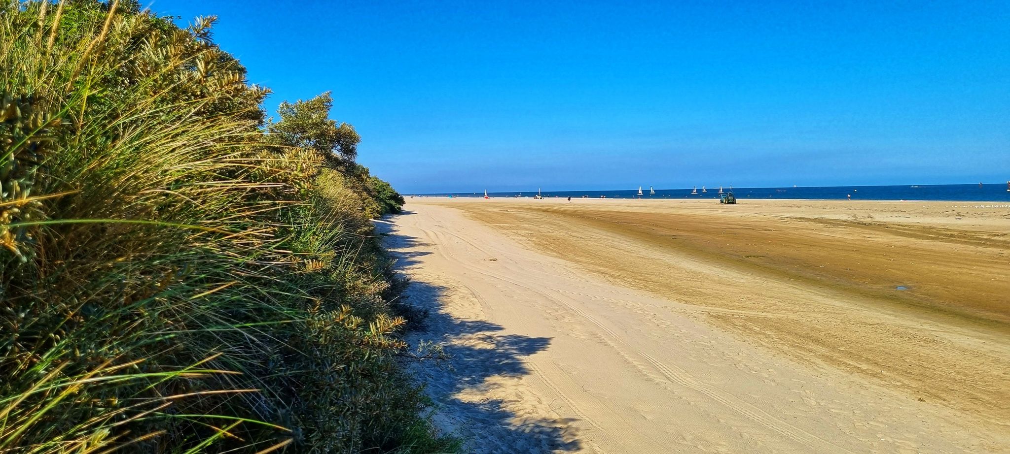
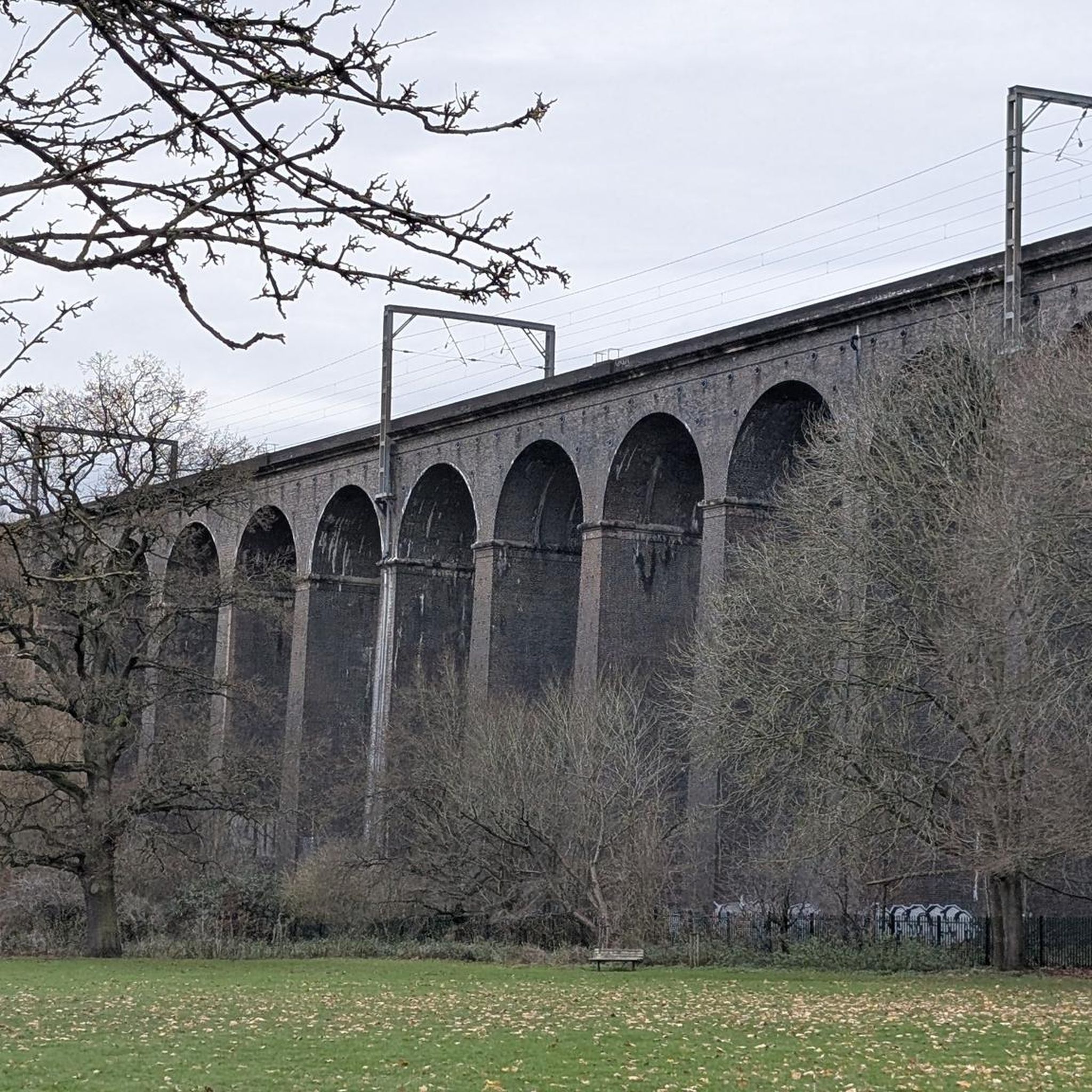
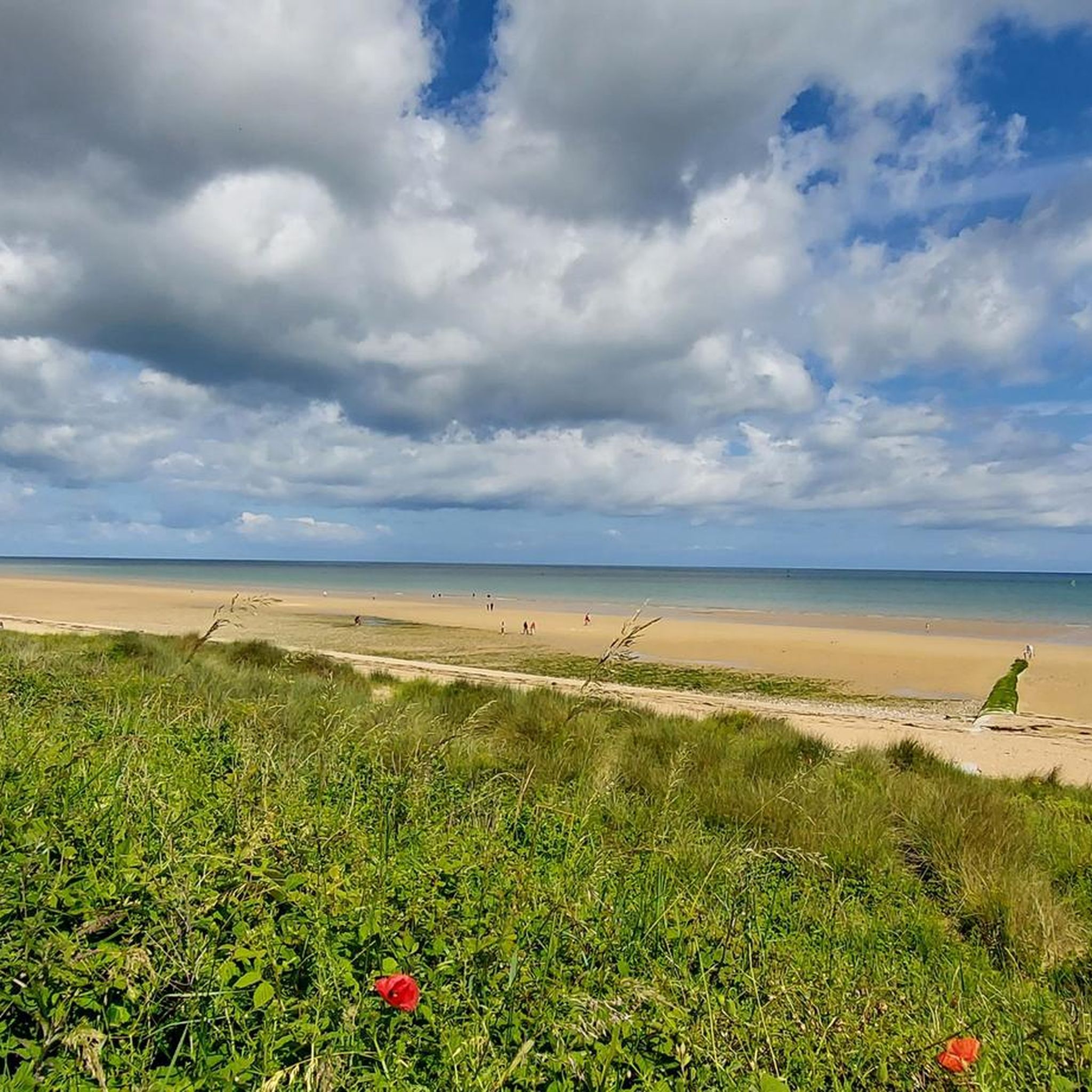
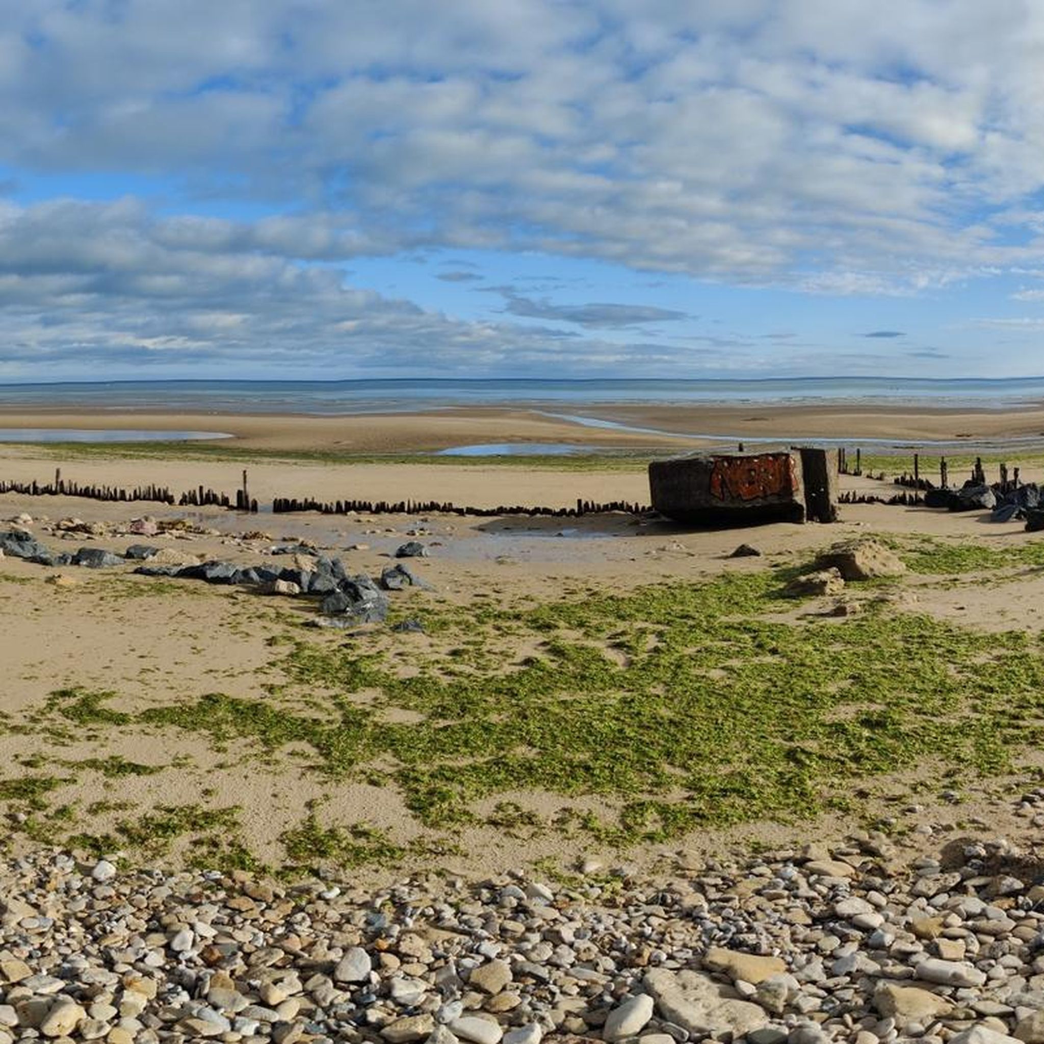

Other adventures around Graye-Sur-Mer

Tips from the Community

Very pretty little road that winds between Reviers and Fontaine-Henry, bordered in places by the river "La Mue". Very beautiful bucolic place with the arrival in Fontaine-Henry and its old stones including the castle.
0
0

Wonderful section to drive through beautiful nature
0
0
Writings on the facade, dating from the Second World War, indicating a depot and Division HQs
0
0

Here, right at the harbor, you can buy the best fish and mussels and crabs
0
0

Kleiner Fischerort an der Steilküste der Normandie in der Region Calvados. Mit schmucker Hafenpromenade und kleinem Hafen mit Werft.
4
0
Pleasant little fishing village with port facilities and a small shipyard. Beautiful harbor promenade with a few restaurants.
6
0
On the ramp from the town up to the memorial site with the monument stands the battle tank from the Second World War.
2
0

A beautiful place here. Picturesquely embedded in the cliffs and steep coast.
3
0
Frequently Asked Questions
How many road cycling routes are available around Graye-sur-Mer?
There are over 10 dedicated road cycling routes around Graye-sur-Mer, offering a variety of experiences for different skill levels. These routes are highly rated by the komoot community, with an average score of 4.6 stars.
What kind of terrain can I expect when road cycling near Graye-sur-Mer?
The region around Graye-sur-Mer features mostly paved surfaces, making it ideal for road bikes. You'll encounter diverse landscapes, from flat coastal paths along the D-Day beaches to the gently rolling hills of the 'bocage' countryside, characterized by hedgerows and small woods. While generally manageable, some routes offer greater elevation gain, typically not exceeding 500-1500 feet.
Are there road cycling routes suitable for beginners or families in Graye-sur-Mer?
Yes, Graye-sur-Mer offers several easy road cycling routes perfect for beginners and families. For instance, the D-Day Museum – View of Arromanches loop from Graye-sur-Mer is an easy 14.3-mile (22.9 km) trail that connects historical D-Day sites with scenic coastal views. Another easy option is the Lion- arromanches – Coastal panorama loop from Courseulles-sur-Mer, which is 29.8 miles (47.9 km) long.
What historical landmarks can I see along the road cycling routes?
The region is rich in history. Many routes incorporate significant D-Day sites. You can cycle past the Gold Beach - Arromanches, visit the Arromanches-les-Bains 360° Memorial and Museum, or explore the area around the Graye-sur-Mer Memorial. The Route des Marais – Graye-sur-Mer Memorial loop from Graye-sur-Mer is a great option to explore these historical points.
Are there any challenging road cycling routes for experienced cyclists?
Yes, for experienced cyclists seeking a challenge, the Pegasus Bridge – Rade de Port-en-Bessin loop from Graye-sur-Mer is a difficult 87.0-mile (140.1 km) path. This extensive route explores significant D-Day landmarks and stretches along the Normandy coast, offering substantial elevation gain and distance.
What is the best time of year for road cycling in Graye-sur-Mer?
The best time for road cycling in Graye-sur-Mer is generally from spring through early autumn. During these months, the weather is typically mild and pleasant, making for comfortable riding conditions. The coastal scenery and historical sites are particularly enjoyable under sunny skies.
Are there circular road cycling routes available?
Yes, many of the road cycling routes around Graye-sur-Mer are designed as loops, allowing you to start and end at the same point. Examples include the D-Day Museum – View of Arromanches loop from Graye-sur-Mer and the Artificial harbour end – Quai du Canada loop from Courseulles-sur-Mer, which is a moderate 26.8-mile (43.1 km) trail.
Where can I find parking for road cycling routes in Graye-sur-Mer?
Graye-sur-Mer and nearby seaside resorts like Courseulles-sur-Mer offer various parking options, often near the starting points of popular cycling routes. Look for public parking areas in the towns, especially near the beaches or tourist information centers, which are typically well-situated for accessing the coastal paths and D-Day cycling routes.
Are there cafes or places to stop for refreshments along the routes?
Yes, the road cycling routes often pass through or near charming seaside resorts such as Courseulles-sur-Mer, Bernières-sur-Mer, and Saint-Aubin-sur-Mer. These towns offer numerous cafes, restaurants, and shops where you can stop for refreshments, meals, or to simply enjoy the local atmosphere.
What are the notable natural features or viewpoints along the cycling paths?
Cyclists can enjoy stunning coastal scenery, including the long sandy D-Day beaches like Juno Beach. Inland, the 'bocage' countryside offers lush, green environments with hedgerows and woodlands. For panoramic views, consider routes that pass by viewpoints such as Cap Manvieux.
Can I connect to longer cycling itineraries from Graye-sur-Mer?
Absolutely. Graye-sur-Mer is an integral part of the Vélomaritime (EuroVelo 4), a significant coastal cycling route that traverses the Normandy coast. This allows for seamless connection to longer-distance cycling adventures. You can find more information about cycling in Normandy on France Vélo Tourisme or explore the local network via Cœur de Nacre Tourisme.
Most popular routes around Graye-Sur-Mer
Most popular attractions around Graye-Sur-Mer

Get inspired with the komoot mobile app


Explore more
Browse the best Road cycling routes in other regions.
