The best walks and hikes around Lopigna
4.1
(231)
1,303
hikers
47
hikes
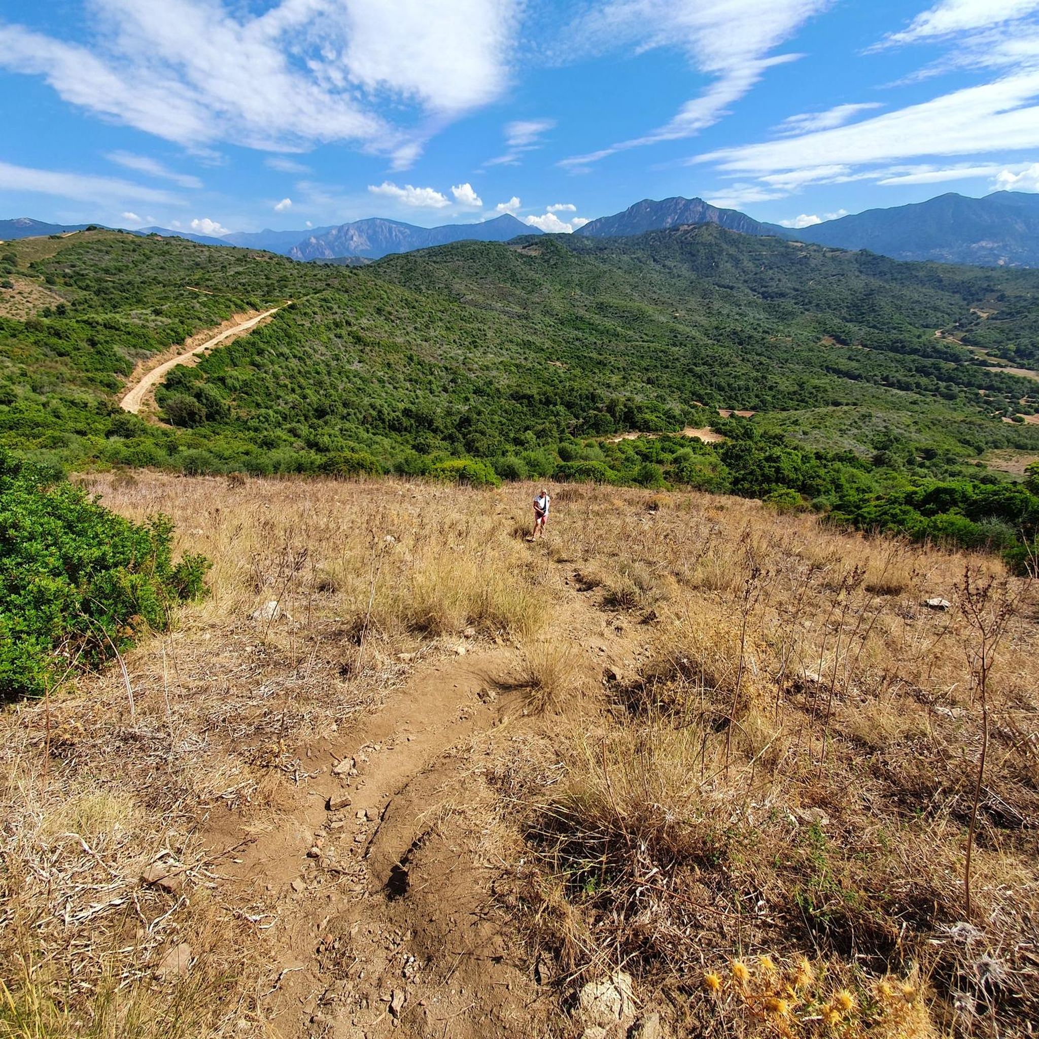
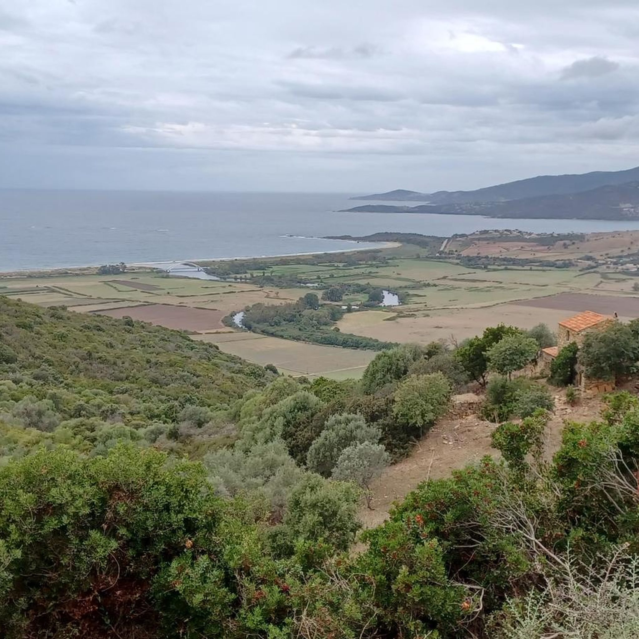
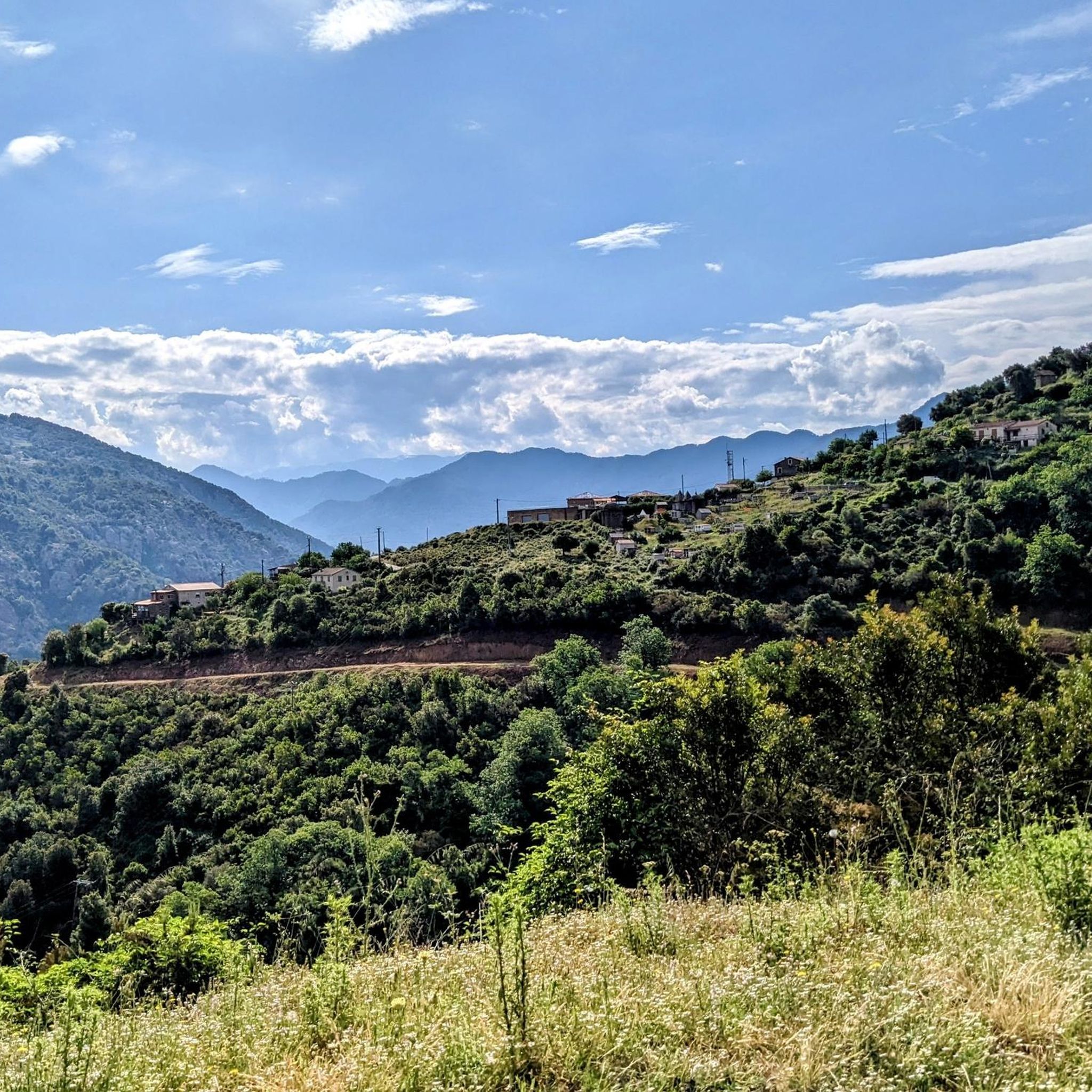
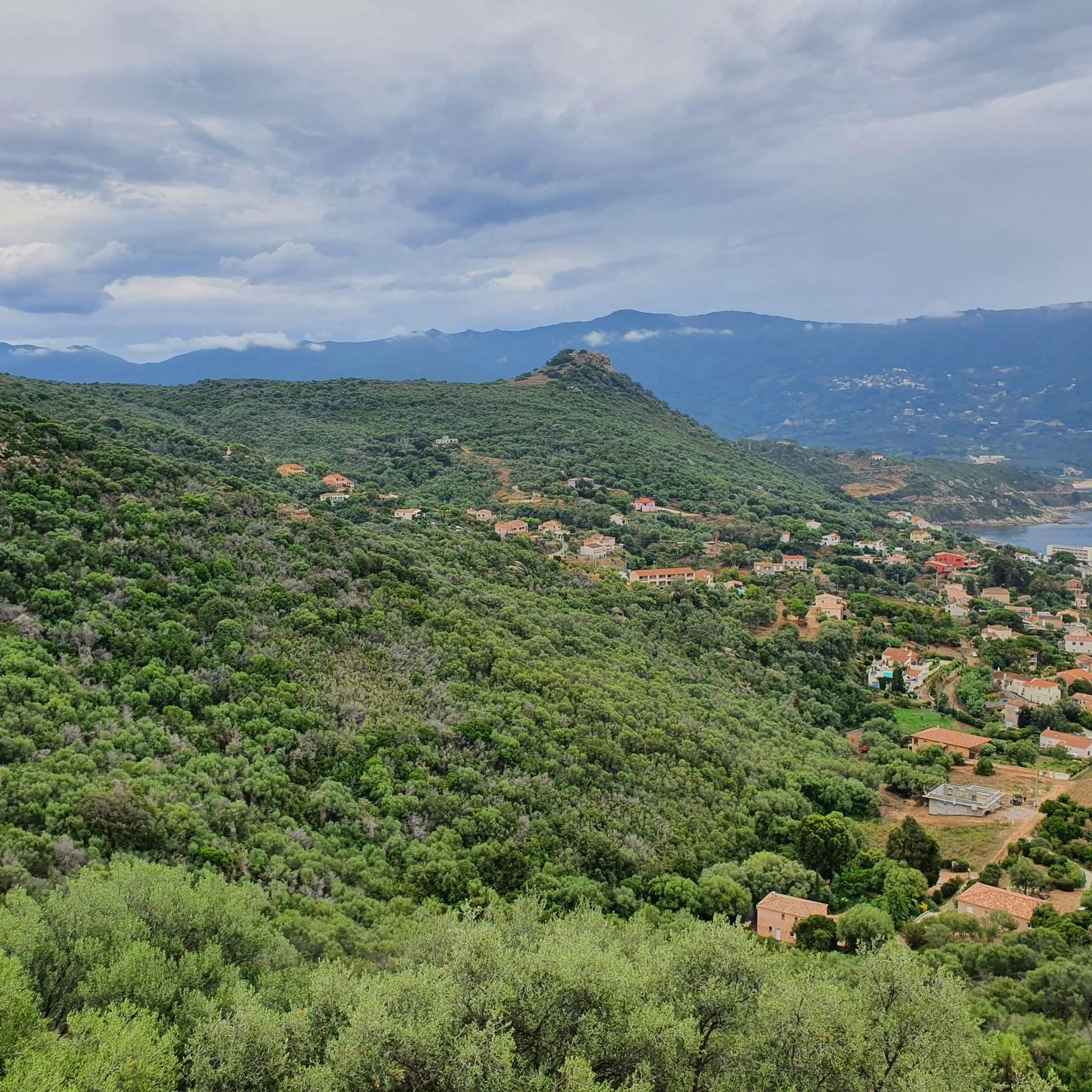
Hiking around Lopigna offers access to the diverse landscapes of the Parc Naturel Régional de Corse, a vast area characterized by mountainous terrain and dense Mediterranean scrubland known as maquis. The region features pine forests at higher altitudes and gorges carved by clear rivers. While inland, some elevated points provide views towards the Gulf of Ajaccio and the Mediterranean Sea.
Best hiking trails around Lopigna
- The most popular hiking route is Punte St Eliseo — loop from Tavaco in the…
Last updated: August 22, 2026
4.5
(10)
76
hikers
7.93km
03:28
750m
750m
Hard hike. Good fitness required. Sure-footedness, sturdy shoes and alpine experience required.
4.6
(5)
24
hikers
4.51km
01:24
180m
180m
Easy hike. Great for any fitness level. Easily-accessible paths. Suitable for all skill levels.

Sign up for free
2.5
(2)
5
hikers
3.29km
01:02
140m
140m
Easy hike. Great for any fitness level. Easily-accessible paths. Suitable for all skill levels.
3.6
(7)
33
hikers
4.33km
01:17
120m
130m
Easy hike. Great for any fitness level. Easily-accessible paths. Suitable for all skill levels.
4.3
(3)
58
hikers
6.82km
03:36
370m
370m
Hard hike. Good fitness required. Sure-footedness, sturdy shoes and alpine experience required.
Get access to more routes and recommendations from other explorers.
Sign up for free
Already have an account?
Our route recommendations are based on thousands of hikes, rides, and runs completed by other people on komoot.
Start today with a free account
Your next adventure awaits.
Login or Signup
Tips from the Community

At this point, the Valle di Mezzana Heritage Trail splits in two. Going straight, you pass over the ridges after a steep climb. To the left, the flat terrain is much more accessible. Whichever you choose, just follow the signs.
0
0
Walking through the Tavacu forest, it is possible to come across several charcoal kilns, flat surfaces surrounded by stone walls that were once used to make charcoal.
1
0
Starting from Valle di Mezzana, this old municipal path is today marked to offer a beautiful walk. It is bordered by walls which demarcated the paths of yesteryear.
0
0
This Tinturaggio passage is a pretty part of the Valle di Mezzana path, with its beautiful wooden bridge. In the past, the waters of the stream were also used to control the combustion of nearby coal mines.
0
0
Charcoal pits are old places of charcoal production that can be found on several Corsican trails. You can find an example here.
0
0
The Vignola stream is a charming little stream that runs through the Tavaco forest. Its mill has been restored, notably reinforcing its surrounding walls.
0
0
The Tavaco forest extends over 125 hectares between 210 and 1,040 meters above sea level. Mainly composed of beautiful green oaks, it is also covered with scrub born after the 2009 fire.
0
0
In the past, this fountain served as a gathering place for the inhabitants of Tavaco who came to cool off there. After being invaded by vegetation, it came back to life thanks to the development of the Tavaco heritage trail.
0
0
Frequently Asked Questions
How many hiking trails are available around Lopigna?
Lopigna and its surrounding area offer a wide variety of hiking experiences, with over 45 trails documented on komoot. These routes cater to different skill levels, ensuring there's something for everyone, from leisurely strolls to more demanding ascents.
What kind of terrain can I expect when hiking near Lopigna?
The terrain around Lopigna is incredibly diverse, reflecting its location within or near the Parc Naturel Régional de Corse. You'll encounter dense Mediterranean scrubland, known as maquis, fragrant with herbs, and pine forests at higher altitudes. The landscape also features mountainous vistas, steep gorges carved by clear rivers, and impressive granite formations. Some elevated points even offer panoramic views towards the Gulf of Ajaccio and the Mediterranean Sea.
Are there easy hiking options suitable for beginners or casual walkers?
Yes, Lopigna offers several easy hiking options perfect for beginners or those seeking a relaxed walk. For instance, the Valle di Mezzana Trail is an easy 4.5 km path that winds through the Valle di Mezzana, showcasing local natural features. Another accessible option is the Schöner Weg – Casaglione loop from Casaglione, an easy 4.3 km route.
Can I find challenging hikes around Lopigna?
Absolutely. For experienced hikers looking for a challenge, Lopigna provides several difficult routes. One such trail is the Punte St Eliseo — loop from Tavaco in the Parc Naturel Régional de Corse, a demanding 7.9 km route with significant elevation gain, offering panoramic views within the regional park. Another challenging option is the Punta Peccuraghja – Punta Sant'Eliseu loop from Col de Tartavello.
Are there any circular hiking routes in the area?
Yes, many trails around Lopigna are designed as circular routes, allowing you to start and end at the same point. Examples include the challenging Punte St Eliseo — loop from Tavaco and the easier Schöner Weg – Casaglione loop from Casaglione. These loops are ideal for exploring the diverse landscapes without retracing your steps.
What natural features or landmarks can I see while hiking near Lopigna?
Hiking near Lopigna offers opportunities to discover various natural features and landmarks. You can visit the historic Pont de Baccu di a Sarra, or enjoy breathtaking vistas from summits like Rocher des Gozzi or Punta Sant'Eliseu. The region is also known for its dramatic gorges and natural pools, perfect for a refreshing stop.
Is Lopigna a good destination for family-friendly hikes?
Lopigna is a great choice for family-friendly hikes, especially with its selection of easy trails. The varied landscape, from fragrant maquis to shaded pine forests, provides an engaging environment for children. Many trails are well-suited for families looking to enjoy nature together at a comfortable pace.
What is the best time of year to go hiking in Lopigna?
The best time for hiking in Lopigna, and Corsica in general, is typically during the spring (April to June) and autumn (September to October). During these seasons, the weather is pleasantly mild, the landscapes are vibrant, and the intense summer heat is avoided. Spring brings blooming wildflowers, while autumn offers beautiful colors and cooler temperatures.
Are there any hikes that offer panoramic views of the coast or mountains?
Yes, many trails around Lopigna provide spectacular panoramic views. From higher vantage points, particularly those accessible from nearby villages like Sari-d'Orcino or Salice, you can often enjoy 360-degree vistas that stretch across the surrounding mountain ranges and extend towards the Gulf of Ajaccio and the Mediterranean Sea. Punta Sant'Eliseu, for example, is renowned for its fantastic views.
What do other hikers enjoy the most about hiking in Lopigna?
The hiking trails around Lopigna are highly rated by the komoot community, with an average score of 4.2 stars. Reviewers often praise the diverse and dramatic landscapes, from the fragrant maquis to the stunning mountain and coastal views. Hikers particularly appreciate the variety of routes available, catering to all skill levels, and the sense of immersion in the Parc Naturel Régional de Corse.
Are there any historical trails or pathways to explore near Lopigna?
Yes, the region around Lopigna has a rich history reflected in its pathways. The Tavacu Heritage Trail is a notable example, leading you through historical pathways that offer a glimpse into the area's past. Nearby Salice also features paved mule tracks, demonstrating its historical routes suitable for hiking.
Most popular attractions around Lopigna

Get inspired with the komoot mobile app


Explore more
Browse the best Hikes in other regions.
