The best walks and hikes around Dunières
4.6
(293)
1,684
hikers
232
hikes
Hiking around Dunières offers diverse landscapes shaped by ancient volcanic activity, providing varied terrain for outdoor enthusiasts. The region features a mosaic of natural environments, including daffodil meadows, dense broom forests, and expansive fir and beech forests. Prominent natural features like Pic du Lizieux and panoramic viewpoints such as Crêt de Chaussître enhance the hiking experience. Additionally, the substantial Lac de Lavalette provides a scenic backdrop for many routes.
Best hiking trails around Dunières
- The most popular hiking route is ULMET loop from Raucoules, a 4.5 miles (7.2 km) trail that takes 2 hours 5 minutes to complete. This moderate route explores the varied forest and meadow landscapes characteristic of the Dunières area.
- Another top favourite among local hikers is Le Prège loop from Lichemiaille, a moderate 7.6 miles (12.3 km) path. This trail offers views of the surrounding volcanic terrain and passes through diverse ecosystems.
- Local hikers also love the Hiking loop from Saint-Romain-Lachalm, a 10.0 miles (16.1 km) trail leading through forests and open countryside, often completed in about 4 hours 33 minutes.
- Hiking around Dunières is defined by ancient volcanic terrain, extensive fir and beech forests, and panoramic views from elevated points. The network of trails offers options for various ability levels, from easy family walks to more challenging paths.
- The routes in Dunières are highly rated by the komoot community with an average score of 4.6 stars from over 250 reviews. More than 1500 hikers have used komoot to explore Dunières's varied terrain.
Last updated: July 9, 2026
5.0
(2)
7
hikers
7.18km
02:06
190m
190m
Moderate hike. Good fitness required. Easily-accessible paths. Suitable for all skill levels.
3.0
(1)
11
hikers
12.3km
03:29
280m
280m
Moderate hike. Good fitness required. Easily-accessible paths. Suitable for all skill levels.

Sign up for free
9
hikers
16.3km
04:37
360m
360m
Moderate hike. Good fitness required. Easily-accessible paths. Suitable for all skill levels.
4
hikers
8.85km
02:28
170m
170m
Moderate hike. Good fitness required. Easily-accessible paths. Suitable for all skill levels.
5.0
(1)
15
hikers
12.0km
03:15
150m
150m
Moderate hike. Good fitness required. Easily-accessible paths. Suitable for all skill levels.
Get access to more routes and recommendations from other explorers.
Sign up for free
Already have an account?
Our route recommendations are based on thousands of hikes, rides, and runs completed by other people on komoot.
Start today with a free account
Your next adventure awaits.
Login or Signup

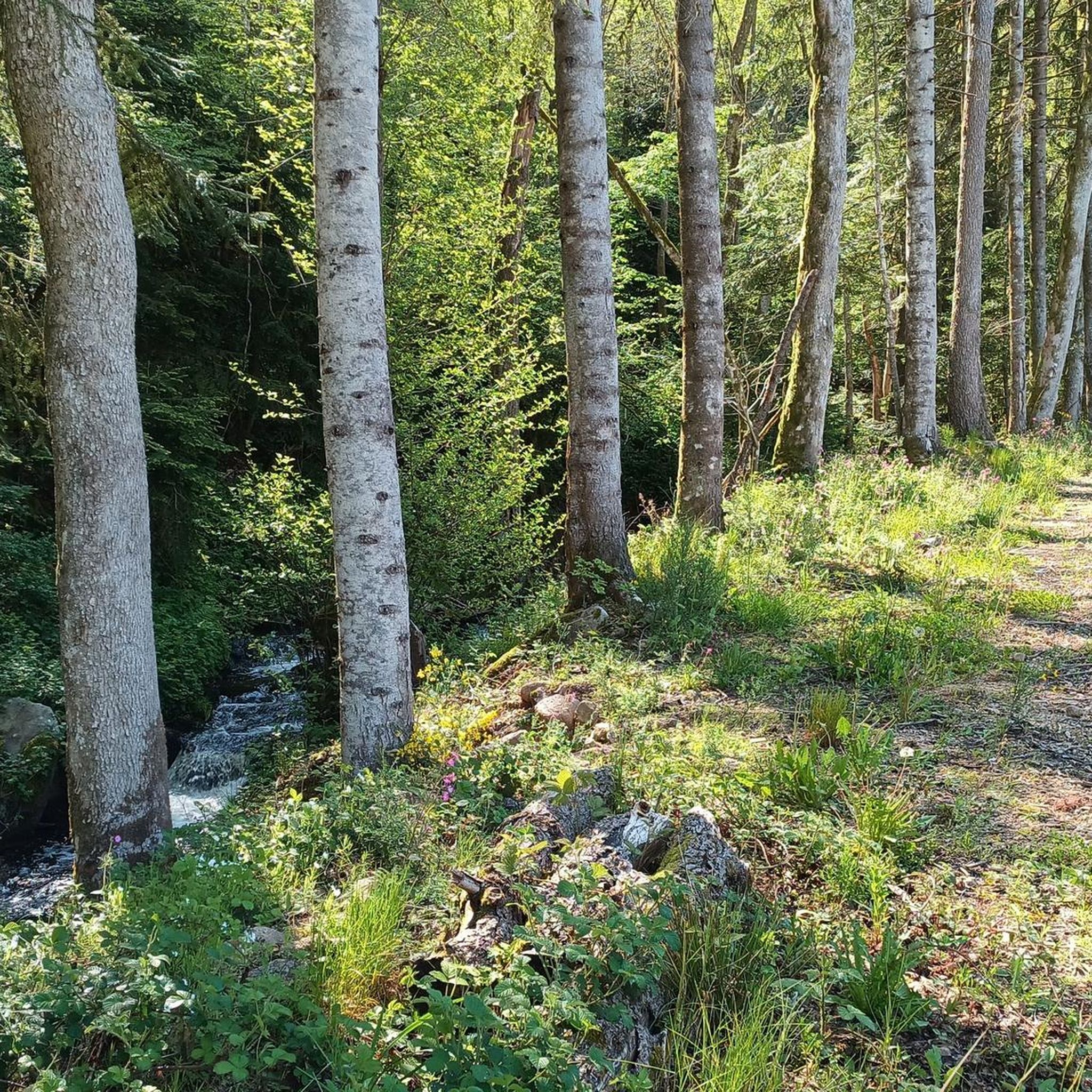
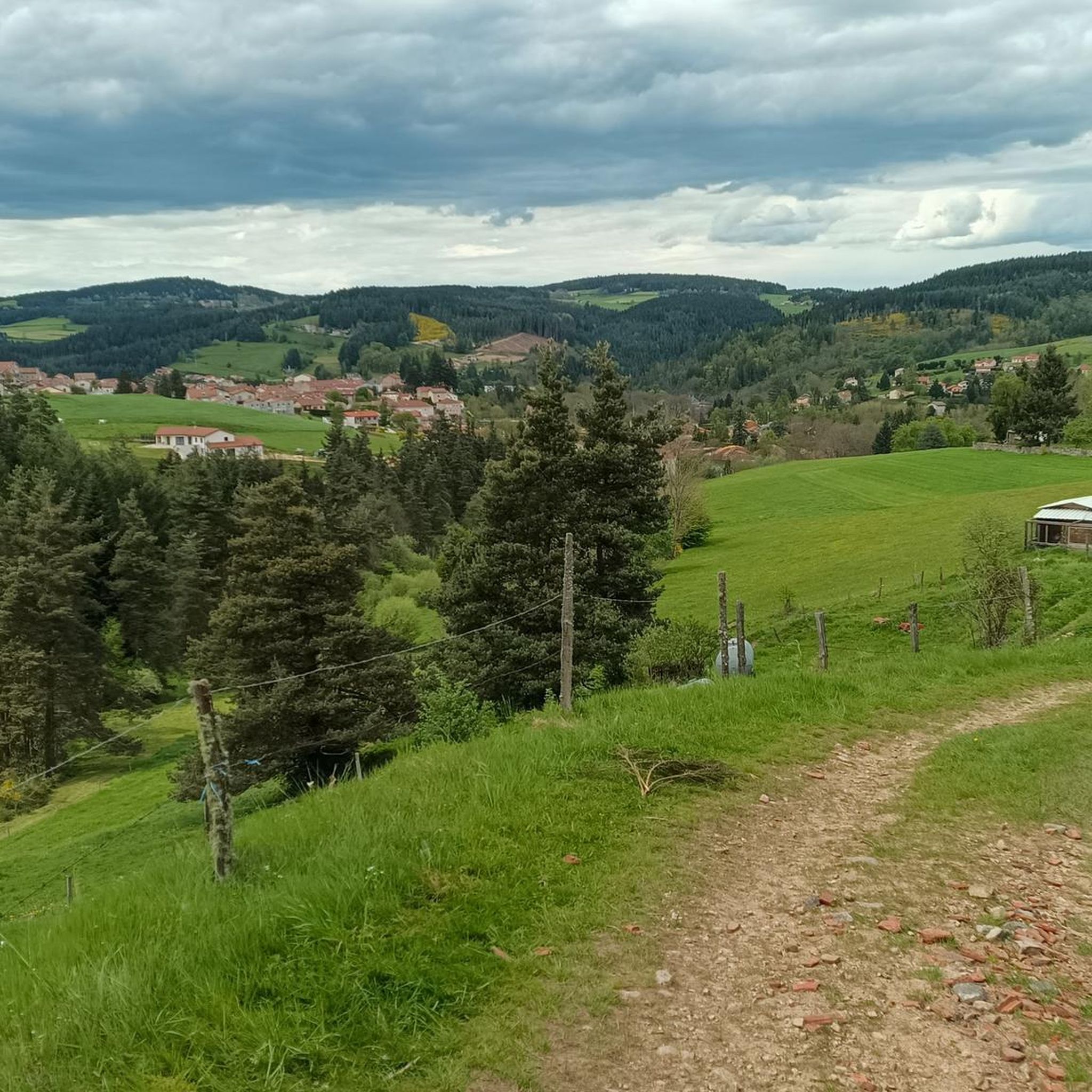
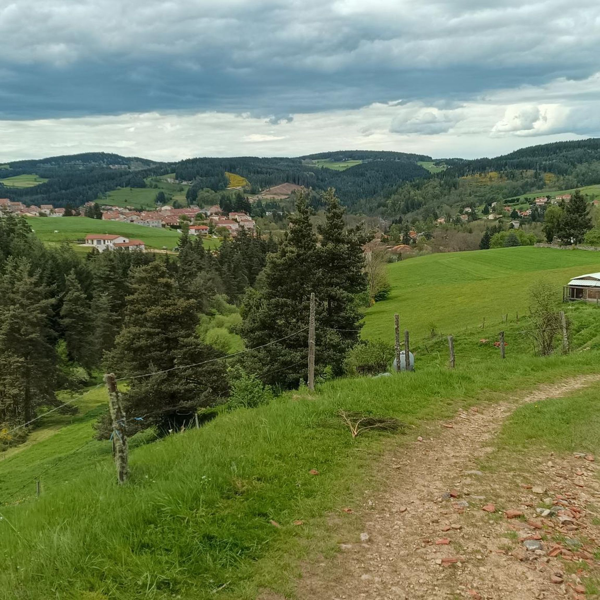
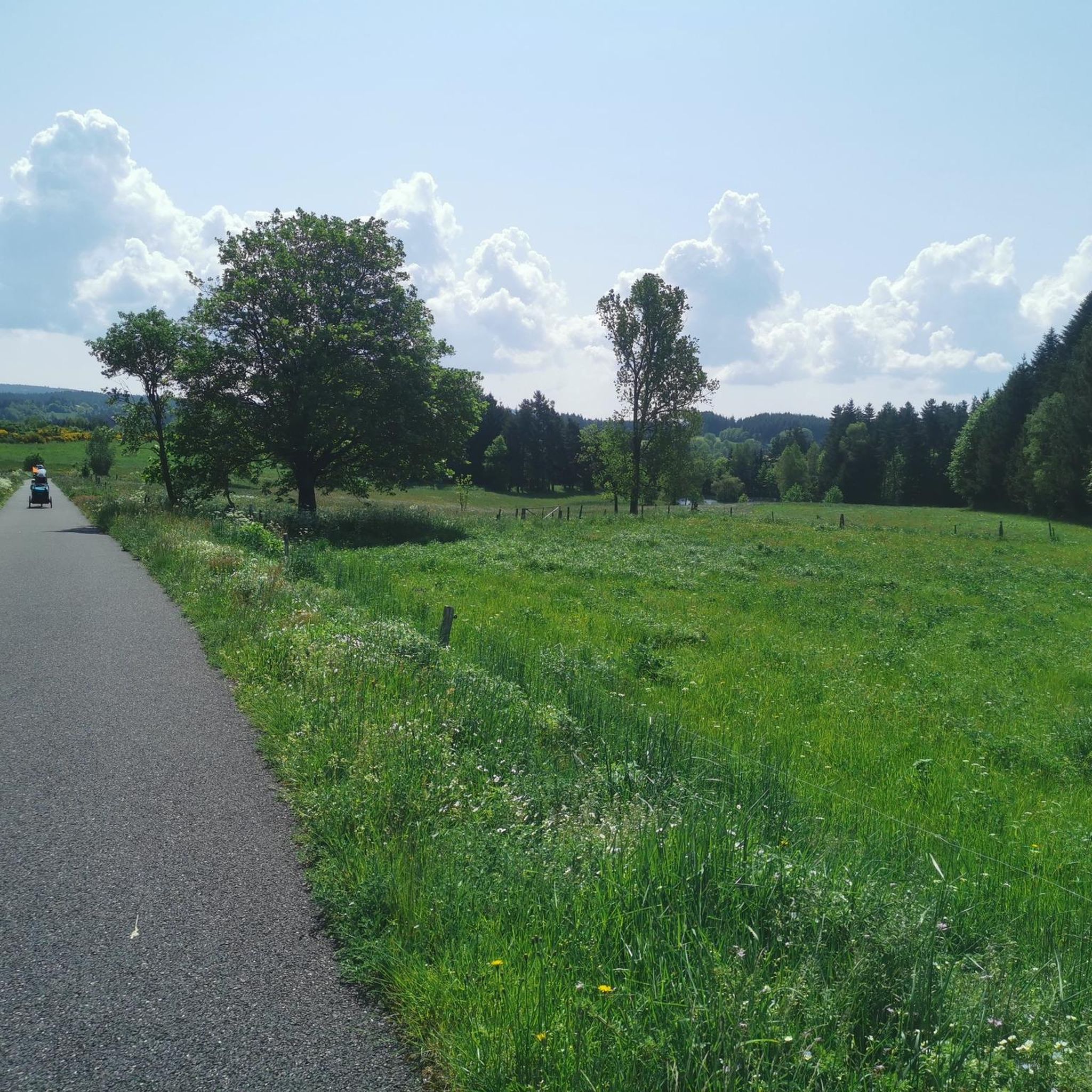

Other adventures around Dunières

Tips from the Community

Pretty little place, easy to access for a family walk along the forest path from Bronac.
0
0

Le Riotord is a town full of assets located in the far east of Haute-Loire. It is at the crossroads of many well-marked and maintained hiking trails such as the GR 7 and the path to Saint-Jacques-de-Compostelle but also cycling routes such as the Via Fluvia and the Grande Traversée à VTT de la Haute-Loire. The town has a beautiful 11th century church or a pond ideal for a little nap by the water.
0
0

Departures with friends and beautiful walks for fans.
0
0

Impressive view of the Sarcenas Viaduct. It is possible to cross by bike via Via Fluvia.
0
0

View of the Sacrenas viaduct which crosses the Dunières. It is possible to take it by bike via the Via Fluvia.
1
0
Private castle of medieval origin, inhabited by the same family since the 14th century.
2
0
Frequently Asked Questions
How many hiking trails are available around Dunières?
There are over 200 hiking routes available around Dunières, catering to various skill levels. The region boasts approximately 240 kilometers of signposted trails, ensuring a wide range of options for exploration.
Are there easy hiking trails suitable for beginners or families in Dunières?
Yes, Dunières offers many easy trails perfect for beginners and families. Out of the over 200 routes, 62 are classified as easy. These trails are well-maintained and adhere to the standards of the French Hiking Federation, making them accessible for all. For example, the region's trails include 'very easy' routes suitable for families.
Can I find circular hiking routes in the Dunières area?
Many of the trails around Dunières are designed as circular routes, allowing you to start and end at the same point. An example is the ULMET loop from Raucoules, a moderate 4.5-mile (7.2 km) trail that explores varied forest and meadow landscapes.
What kind of landscapes can I expect to see while hiking around Dunières?
Hiking around Dunières offers a diverse range of landscapes shaped by ancient volcanic activity. You'll traverse through vibrant daffodil meadows, dense broom forests, and expansive fir and beech forests. Prominent features include the majestic Pic du Lizieux and unique geological formations, providing a rich mosaic of natural environments.
Are there any hikes that offer panoramic views?
Absolutely. For breathtaking panoramas, consider routes that lead to elevated points like the Crêt de Chaussître. From here, you can enjoy expansive views of the Monts du Velay, Mont Mezenc, the sucs d'Yssingeaux, and the Hauts Plateaux du Forez. The region's volcanic terrain often provides natural viewpoints.
Are there any trails that pass by water features or lakes?
Yes, the substantial Lac de Lavalette is a prominent water feature in the area. This 220-hectare dam lake is fed by the Lignon River and offers a scenic backdrop for many routes. While not directly on a specific hiking trail listed in the guide, many routes are in its vicinity, and it's a hub for water-based activities.
What historical or cultural attractions can I explore near the hiking trails?
Beyond natural beauty, Dunières offers cultural points of interest. You can explore the historic La Papeterie Mill, an old paper mill with a rich history. The Crêt de Chaussître, besides its panoramic views, is also a significant landmark. The town of Dunières itself has charming streets and local markets to discover.
What do other hikers say about the trails in Dunières?
The trails in Dunières are highly rated by the komoot community, with an average score of 4.6 stars from over 250 reviews. Hikers often praise the varied terrain, the well-maintained paths, and the stunning natural beauty, particularly the mix of forests and open landscapes.
Are there options for more challenging hikes around Dunières?
Yes, for experienced hikers seeking a challenge, Dunières offers 18 difficult routes. These trails often feature greater elevation changes and longer distances. An example of a moderate to challenging route is the Hiking loop from Saint-Romain-Lachalm, a 10.0-mile (16.1 km) trail that takes about 4 hours 33 minutes to complete.
Is it possible to access hiking trails around Dunières using public transport?
Dunières is a stop on the Via Gebennensis, a continuation of the Swiss Way of St. James, indicating some regional connectivity. While specific public transport links directly to trailheads are not detailed, Dunières itself is a town with local amenities. It's advisable to check local bus schedules or regional transport options for connections to specific starting points.
Are there any trails that are particularly good for exploring the volcanic terrain?
To experience the region's distinct volcanic terrain, consider routes like Le Prège loop from Lichemiaille. This moderate 7.6-mile (12.3 km) path offers views of the surrounding volcanic formations and passes through diverse ecosystems characteristic of the area's geological history.
Where can I find parking for hiking trails in Dunières?
While specific parking locations for every trailhead are not listed, Dunières and its surrounding villages are generally well-equipped for visitors. Most trailheads in rural French areas typically have designated parking areas or allow roadside parking where safe and permitted. It's recommended to check local signage upon arrival at your chosen starting point.
What is the best time of year to hike in Dunières?
The diverse ecosystems around Dunières, including daffodil meadows and dense forests, suggest that spring and autumn are particularly beautiful. Spring brings blooming flowers, while autumn offers vibrant foliage. Summer is also popular, especially for activities around Lac de Lavalette, but can be warmer. Winter hiking is possible, but conditions may vary, especially at higher elevations.
Most popular attractions around Dunières

Get inspired with the komoot mobile app


Explore more
Browse the best Hikes in other regions.
