The best running trails around Fleurey-Sur-Ouche
4.5
(79)
4,867
runners
16
runs
Jogging routes around Fleurey-Sur-Ouche are set within the Ouche Valley, where the Ouche River and Burgundy Canal provide flat towpaths ideal for running. The region extends onto a limestone plateau, offering varied topography with altitudes ranging from 260 to 601 meters. This diverse landscape includes numerous combes, such as Combe aux Mammouths, and features significant elevation changes, particularly towards Mont Afrique.
Best jogging routes around Fleurey-Sur-Ouche
- The most popular jogging route is Tour du Mont Afrique loop from Ferme du…
Last updated: July 3, 2026
53
runners
10.7km
01:06
30m
30m
Moderate run. Good fitness required. Mostly paved surfaces. Suitable for all skill levels.
19
runners
10.8km
01:27
360m
360m
Hard run. Very good fitness required. Mostly paved surfaces. Suitable for all skill levels.

Sign up for free
13
runners
14.5km
01:49
320m
320m
Hard run. Very good fitness required. Mostly paved surfaces. Suitable for all skill levels.
5
runners
7.58km
00:54
110m
110m
Moderate run. Good fitness required. Mostly paved surfaces. Suitable for all skill levels.
6
runners
17.1km
02:04
300m
300m
Hard run. Very good fitness required. Mostly paved surfaces. Suitable for all skill levels.
Get access to more routes and recommendations from other explorers.
Sign up for free
Already have an account?
Our route recommendations are based on thousands of hikes, rides, and runs completed by other people on komoot.
Start today with a free account
Your next adventure awaits.
Login or Signup
Tips from the Community

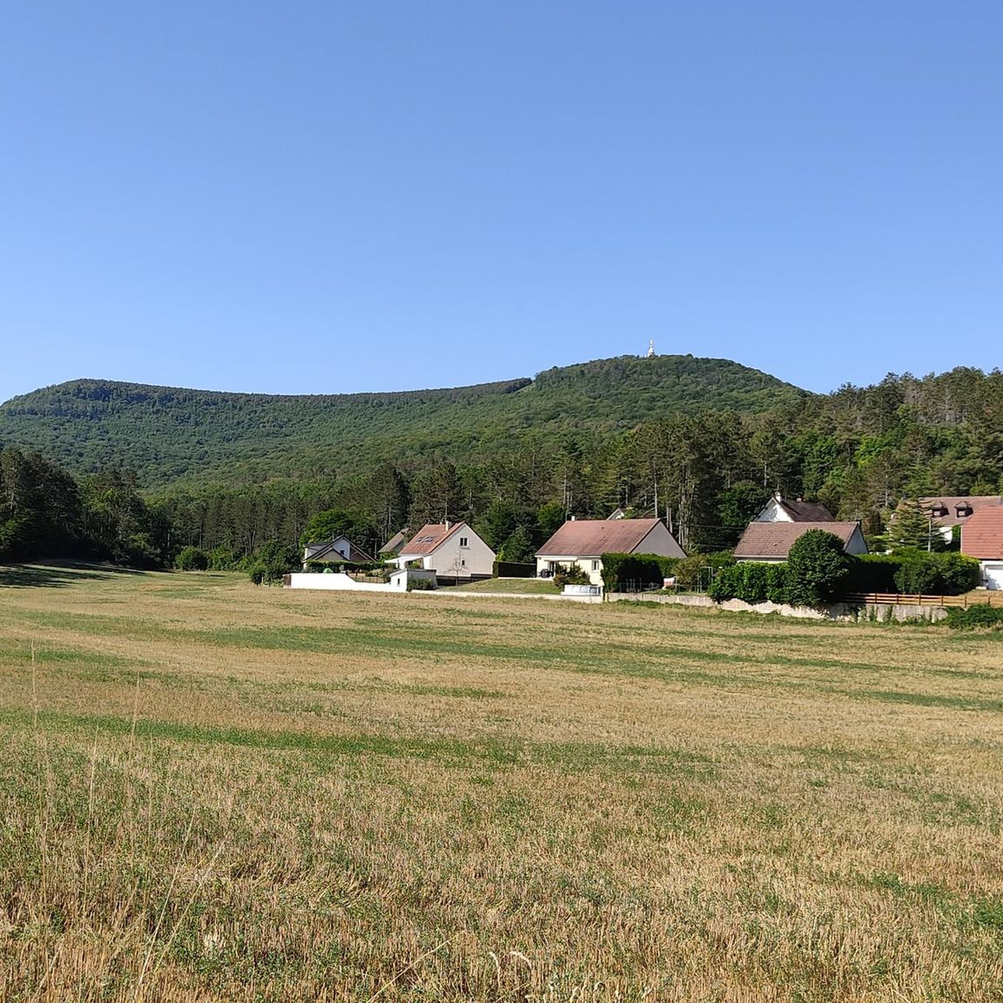
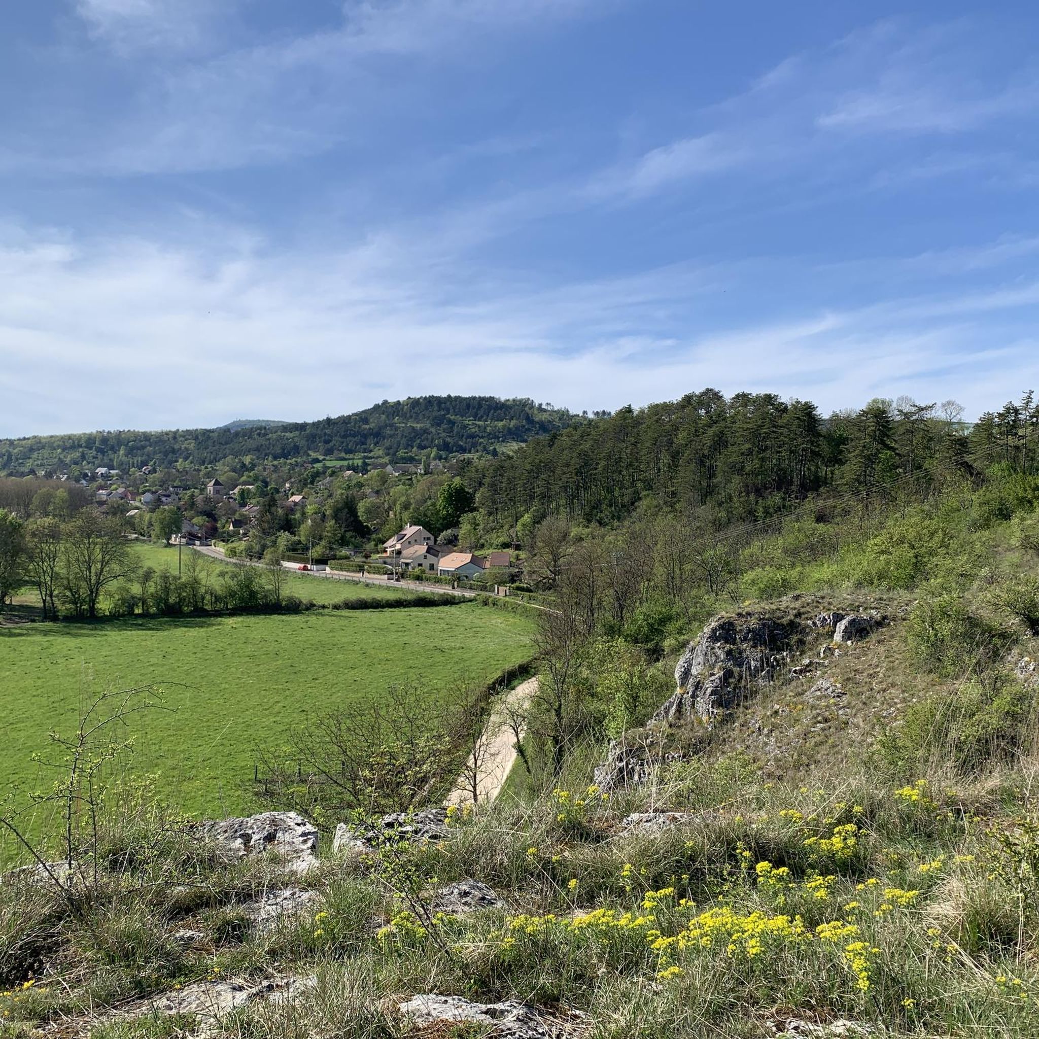
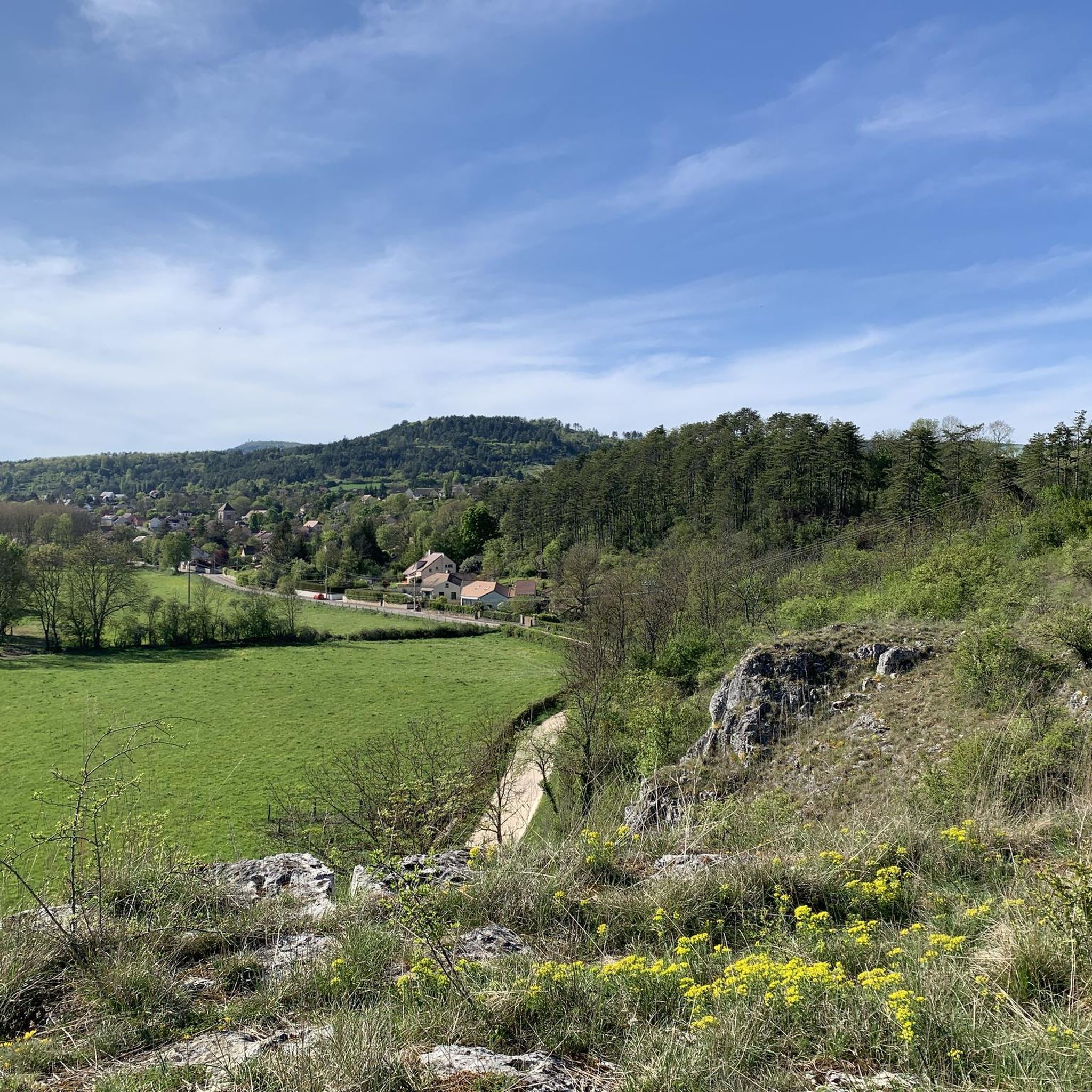
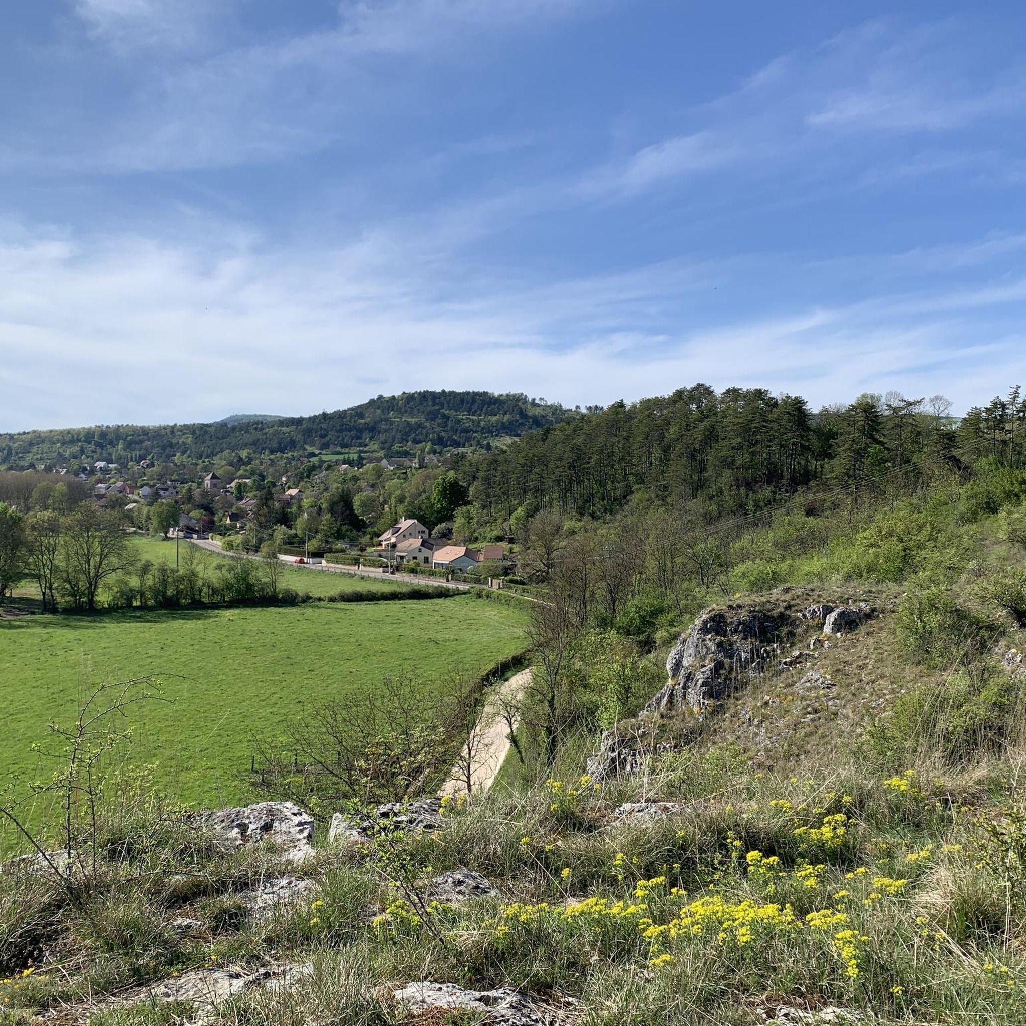
The small town is picturesquely situated in the Ouche Valley. Among the sights worth seeing is the Combe Bouchard Viaduct. It is a great starting point for hikes to Mont Afrique and Mont d'Étang.
4
0

Small Burgundian village nestled between the Montagne d'Etang and Mont Afrique, with a few Burgundy stone houses and a washhouse. A crossing point on the Naizou Circuit to Mont Afrique (starting from Flavignerot and ending at the Naizou fountain, which is very nice).
0
0

Toilets on site but be careful it is very rustic
2
0
A very pleasant path to do on gravel, very beautiful and rolling. The water from the Naizou fountain is drinkable (be careful the trickle can be very weak in summer)
1
1

This castle has been a Historic Monument since 1988. It was rebuilt in the 17th century; now it is temporarily closed.
0
0
Drinking and excellent water, tested and approved without dysentery in August 2023!
3
0

There is an unusual arch. A visit is essential during your race.
2
0
There is an unusual arch. A visit is a must during your hike.
2
0
Frequently Asked Questions
What kind of terrain can I expect on running trails around Fleurey-sur-Ouche?
The region offers a diverse landscape for runners. You'll find mostly flat towpaths along the Ouche River and the Burgundy Canal, ideal for leisurely jogs. For more challenging workouts, the area extends onto a limestone plateau with significant elevation changes, particularly towards Mont Afrique, and features numerous 'combes' (valleys) like the Combe aux Mammouths.
Are there easy running routes suitable for beginners or families in Fleurey-sur-Ouche?
Yes, there are options for all levels. The flat towpaths along the Burgundy Canal are perfect for easy, leisurely runs. While the guide lists 20 routes, only one is explicitly rated as easy, with nine moderate options. For a moderate, shorter option, consider the Running loop from Fleurey-sur-Ouche, which is 7.6 km through woodlands and fields.
Can I find routes with scenic viewpoints or natural landmarks?
Absolutely. The varied topography includes impressive natural features. The Panorama of the Baulme-la-Roche Rocks offers magnificent views, and the Ouche Valley itself provides scenic vistas. Routes like the Roche d'Ancey loop from Fleurey-sur-Ouche are known for substantial climbs and panoramic views.
Are there any historical sites or attractions I can see while jogging?
Yes, you can combine your run with cultural exploration. A pedestrian circuit through Fleurey-sur-Ouche features informative panels detailing the village's history, including the 12th-century Church of Saint-Jean-Baptiste. The ruins of Leuzeu Manor are also accessible via gravel paths, and you might pass by castles like Lantenay Castle on routes such as the La Roche Virante – Lantenay Castle loop from Fleurey-sur-Ouche.
What do other runners say about the jogging routes in Fleurey-sur-Ouche?
The running routes in Fleurey-sur-Ouche are highly regarded by the komoot community, with an average score of 4.5 stars from over 80 reviews. More than 4,000 runners have used komoot to explore the varied terrain, often praising the mix of gentle canal-side paths and challenging hilly trails.
Are there any circular running routes available?
Many of the routes around Fleurey-sur-Ouche are designed as loops, allowing you to start and finish in the same location. Examples include the challenging Tour du Mont Afrique loop from Ferme du Leuzeu and the scenic Roche d'Anse loop from Fleurey-sur-Ouche.
What is the best time of year to go running in Fleurey-sur-Ouche?
The Ouche Valley and surrounding plateau offer beautiful scenery throughout the year. Spring and autumn provide pleasant temperatures and vibrant colors, making them ideal for running. Summer can be warm, so early morning or late evening runs are recommended. Winter runs are also possible, though some higher elevation trails might require more caution depending on conditions.
Are the running trails in Fleurey-sur-Ouche dog-friendly?
While specific regulations for dogs on trails are not detailed, generally, dogs are welcome on most public paths in rural France, especially if kept on a leash. The varied terrain, from flat canal paths to forest trails, offers many options for running with your canine companion. Always ensure your dog is under control and respect local signage.
How long are the running trails around Fleurey-sur-Ouche?
The routes vary significantly in length to suit different preferences. You can find shorter loops, such as the 7.6 km Running loop from Fleurey-sur-Ouche, or longer, more challenging runs like the 17.9 km Roche d'Ancey loop from Fleurey-sur-Ouche. The guide features 20 routes in total, offering a wide range of distances.
Is there parking available near the trailheads in Fleurey-sur-Ouche?
Yes, Fleurey-sur-Ouche is a village with various access points to the surrounding trails. You can typically find parking within the village or at designated starting points for routes. For example, the Tour du Mont Afrique loop starts from Ferme du Leuzeu, which would have parking facilities.
What are the most challenging running routes in the area?
For experienced runners seeking a challenge, the region offers routes with significant elevation gain. The Tour du Mont Afrique loop from Ferme du Leuzeu is a difficult 11.2 km trail with over 420 meters of elevation gain. Another demanding option is the Roche d'Ancey loop from Fleurey-sur-Ouche, an 17.9 km path with substantial climbs.
Most popular routes around Fleurey-Sur-Ouche
Most popular attractions around Fleurey-Sur-Ouche

Get inspired with the komoot mobile app


Explore more
Browse the best Running Trails & Routes in other regions.
