The best running trails around Sarrola-Carcopino
3.9
(92)
9,293
runners
200
runs
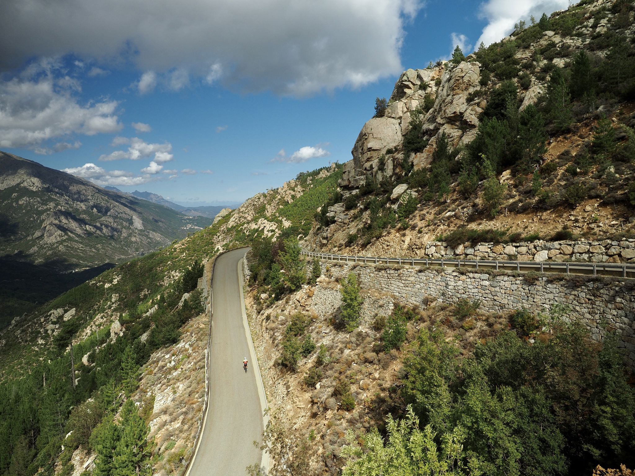
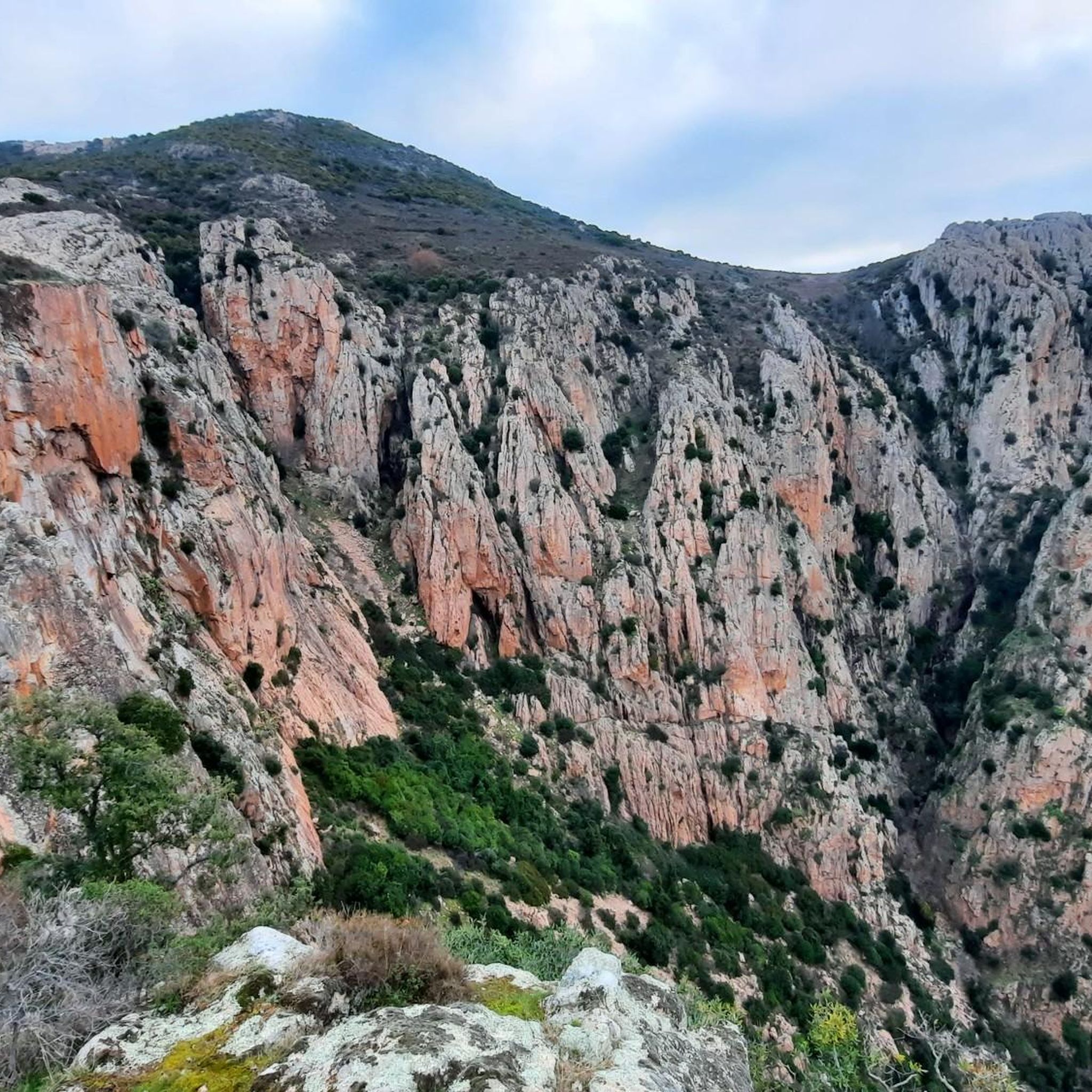
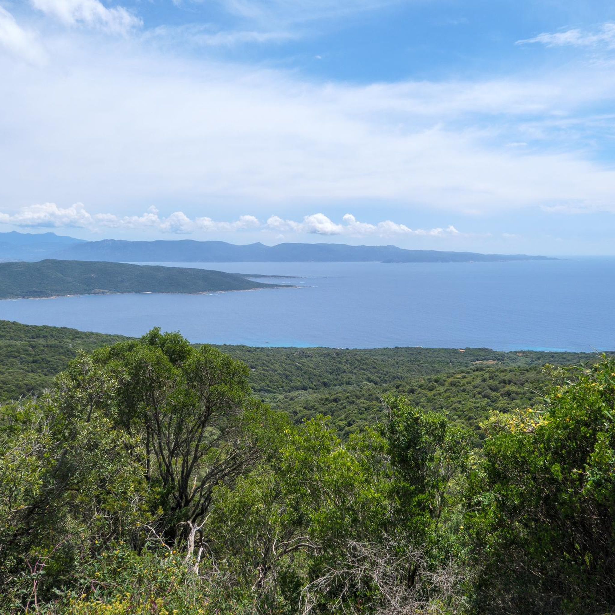
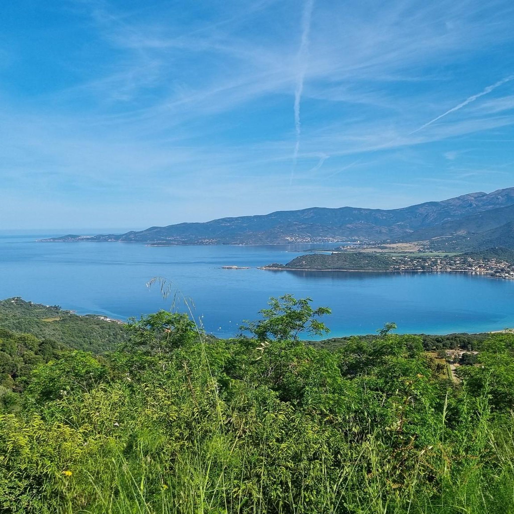
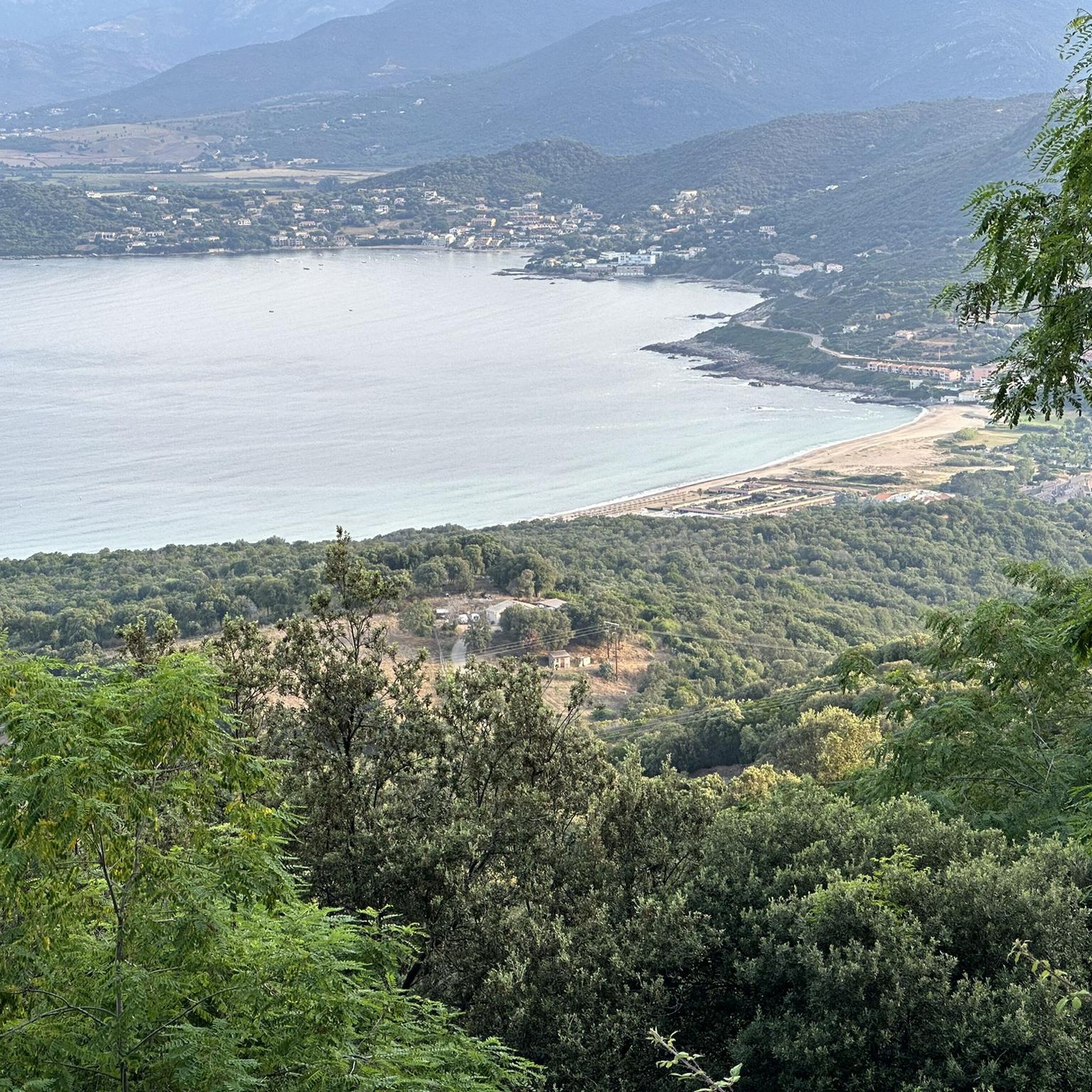
Jogging around Sarrola-Carcopino offers diverse terrain, from river valleys to mountainous areas, providing varied running experiences. The region's geography includes elevations up to over 1,100 meters, featuring natural ascents and descents. Runners can explore trails through rich Mediterranean flora, including maquis and pine forests. Many routes provide panoramic vistas over the Gulfs of Lava and Ajaccio, with distant views of Monte Rotondo and Monte d'Oro.
Best jogging routes around Sarrola-Carcopino
- The most popular jogging route is Monte Sant'Angelo loop from…
Last updated: July 12, 2026
3.0
(2)
56
runners
13.5km
01:37
320m
320m
Hard run. Very good fitness required. Mostly paved surfaces. Suitable for all skill levels.
27
runners
27.3km
04:34
1,700m
1,700m
Hard run. Very good fitness required. Sure-footedness, sturdy shoes and alpine experience required.

Sign up for free
22
runners
16.8km
02:03
470m
470m
Hard run. Very good fitness required. Sure-footedness, sturdy shoes and alpine experience required.
5.0
(1)
20
runners
18.4km
02:30
790m
790m
Hard run. Very good fitness required. Mostly paved surfaces. Suitable for all skill levels.
18
runners
13.5km
01:59
620m
620m
Hard run. Very good fitness required. Sure-footedness, sturdy shoes and alpine experience required.
Get access to more routes and recommendations from other explorers.
Sign up for free
Already have an account?
Our route recommendations are based on thousands of hikes, rides, and runs completed by other people on komoot.
Start today with a free account
Your next adventure awaits.
Login or Signup
Other adventures around Sarrola-Carcopino

Tips from the Community

At this point, the Valle di Mezzana Heritage Trail splits in two. Going straight, you pass over the ridges after a steep climb. To the left, the flat terrain is much more accessible. Whichever you choose, just follow the signs.
0
0
This pretty natural path climbs a small hillock in the town of Afà. This place was at the heart of the village's old hydraulic network, with several mills powered by the waters of the stream.
0
0
This charming fountain is also a former washhouse. We can imagine the inhabitants of yesteryear cleaning their laundry there among its beautiful stones.
0
0
The Sant'Antò trail is intended to reveal the agropastoral history of the municipality of Afà. It leaves at this location, with parking available for motorists.
0
0
Starting from Valle di Mezzana, this old municipal path is today marked to offer a beautiful walk. It is bordered by walls which demarcated the paths of yesteryear.
0
0
This Tinturaggio passage is a pretty part of the Valle di Mezzana path, with its beautiful wooden bridge. In the past, the waters of the stream were also used to control the combustion of nearby coal mines.
0
0

Surprisingly great vantage point in all directions. A chapel stood here until the 16th century, the foundations of which can still be seen.
0
0

With just over 1,200 meters above sea level, this peak, although small in size, offers a grand view. From there, one can appreciate the gulfs of Ajaccio and Sagone. A summit worthy of a hike.
2
0
Frequently Asked Questions
What kind of terrain can I expect on the running routes around Sarrola-Carcopino?
The region offers a diverse landscape for runners, ranging from river valleys like the Gravona and Cavallu Mortu to mountainous areas, including the Piano-Majo cirque. You'll find trails winding through rich Mediterranean flora, such as arborescent maquis, arbutus, and fragrant pine forests, providing varied surfaces and natural ascents and descents.
How many running routes are available in the Sarrola-Carcopino area?
There are over 175 running routes around Sarrola-Carcopino, offering a wide variety of experiences for all fitness levels. These include 17 easy routes, 84 moderate routes, and 74 difficult routes.
Are there any easy running routes suitable for beginners or a lighter jog?
Yes, for a lighter jog or an easier experience, you can explore routes like the Valle di Mezzana Trail, which is approximately 4.5 km. Komoot lists 17 easy routes in the area, perfect for a relaxed run.
Can I find running routes with panoramic views in Sarrola-Carcopino?
Absolutely. Many routes lead to breathtaking viewpoints. For instance, the area around the Rocher des Gozzi offers exceptional panoramic views over the Gulfs of Lava and Ajaccio, with distant glimpses of Monte Rotondo and Monte d'Oro. Similarly, Punta Sant'Eliseu provides extensive vistas of the bays of Sagone, Liscia, and Ajaccio.
What do other runners enjoy most about jogging in Sarrola-Carcopino?
The running routes in Sarrola-Carcopino are highly rated by the komoot community, with an average score of 3.8 stars from over 80 reviews. Runners frequently praise the diverse terrain, the challenging ascents, and the stunning panoramic views, especially from elevated points like the Rocher des Gozzi and Punta Sant'Eliseu.
Are there any challenging running routes for experienced runners?
Yes, for those seeking a more strenuous experience, there are 74 difficult routes available. A notable challenging option is the Vergio Pass – Punta Sant'Eliseu loop from Valle-di-Mezzana, which covers over 27 km with significant elevation gain. The Petite chapelle – Punta Sant'Eliseu Loop is another demanding trail traversing mountainous terrain.
Are there any historical sites or landmarks I can discover while running?
Yes, the region is rich in history. You can encounter elements like the dolmen dominating Valle Bughja, or the ancient source of Caldaniccia, known since Roman times. Many routes follow historic mule tracks, such as those leading to the chapelle Santu Stefanu and the ermitage San Lusorio, adding a cultural dimension to your run.
Are there any specific attractions or points of interest near the running trails?
Beyond the natural beauty, you can find several points of interest. Peaks like Rocher des Gozzi and Punta Sant'Eliseu offer incredible views. In nearby Ajaccio, you might explore historical sites such as Maison Bonaparte or the Ajaccio Citadel.
Are the running routes around Sarrola-Carcopino typically circular?
Many of the running routes in the Sarrola-Carcopino area are designed as loops, allowing you to start and finish at the same point. For example, the Monte Sant'Angelo loop from Stade Ange Casanova is a popular circular option.
Can I find running trails that are part of larger regional networks?
Yes, Sarrola-Carcopino is located near the vast Parc Naturel Régional de Corse. This park offers a multitude of marked trails, including long-distance routes like "Mare e Monti" and "Mare a Mare," providing extensive possibilities for exploration and sustained running. You can find more information about the park here.
What is a good running route for exploring the diverse natural features of the region?
The Punta di Montalbi – Tinturaggio stream loop from Valle-di-Mezzana is an excellent choice. This route, covering over 15 km, takes you through varied landscapes, including river valleys and areas with rich Mediterranean vegetation, offering a comprehensive experience of the region's natural beauty.
Are there any running routes that combine urban and natural scenery?
Yes, the Statue of Cardinal Fesch – Fesch Library loop from Stade Ange Casanova is a moderate 11.8 km path that offers a pleasant mix of urban elements and natural surroundings, allowing you to experience both aspects of the area.
Most popular routes around Sarrola-Carcopino
Most popular attractions around Sarrola-Carcopino

Get inspired with the komoot mobile app


Explore more
Browse the best Running Trails & Routes in other regions.
