The best walks and hikes around Croutelle
4.5
(591)
3,550
hikers
370
hikes
Hiking around Croutelle offers exploration of a landscape characterized by valleys, riversides, and dense woodlands within the Vienne department of France. The area features the Feuillante river and notable forested sections like the Bois des feuillants and Forêt de Croutelle. While limestone cliffs mark the western boundary, the primary hiking experiences are found along tranquil riverine paths and through wooded areas.
Best hiking trails around Croutelle
- The most popular hiking route is Notre-Dame Church – Bois des feuillants loop from…
Last updated: July 11, 2026
5.0
(1)
8
hikers
6.29km
01:40
60m
70m
Easy hike. Great for any fitness level. Easily-accessible paths. Suitable for all skill levels.
13
hikers
Moderate hike. Good fitness required. Easily-accessible paths. Suitable for all skill levels.

Sign up for free
5.0
(2)
16
hikers
4.56km
01:15
70m
70m
Easy hike. Great for any fitness level. Easily-accessible paths. Suitable for all skill levels.
6
hikers
Easy hike. Great for any fitness level. Easily-accessible paths. Suitable for all skill levels.
7
hikers
15.2km
04:04
170m
170m
Moderate hike. Good fitness required. Easily-accessible paths. Suitable for all skill levels.
Get access to more routes and recommendations from other explorers.
Sign up for free
Already have an account?
Our route recommendations are based on thousands of hikes, rides, and runs completed by other people on komoot.
Start today with a free account
Your next adventure awaits.
Login or Signup




Tips from the Community

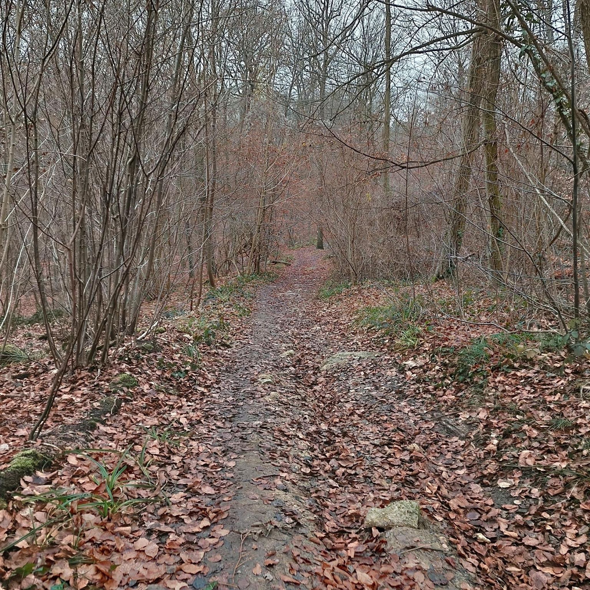
forest path which follows the TGV line, at the intersection on the right, we find all the trails of St Benoît and Ligugé.
0
0
A path that runs along the woods towards the parking lots and the recreation center. This path connects the Clain promenade and the Ligugé forest.
0
0

Perfect even for road cycling
0
0


A few minutes from Poitiers, calm and peaceful!
0
0
Frequently Asked Questions
How many hiking trails are available around Croutelle?
Croutelle and its surroundings offer a wide variety of hiking opportunities, with over 350 routes recorded on komoot. These range from easy strolls to more challenging excursions, ensuring there's something for every hiker.
What kind of landscapes can I expect to see while hiking in Croutelle?
Hiking in Croutelle allows you to explore a diverse landscape characterized by tranquil valleys, picturesque riversides along the Feuillante river, and dense woodlands such as the Bois des feuillants and Forêt de Croutelle. You might also encounter limestone cliffs marking the western boundary of the commune, offering varied terrain.
Are there any easy hiking trails suitable for beginners or families?
Yes, Croutelle has numerous easy trails. For instance, the Bois des feuillants – Notre-Dame Church loop from Croutelle is an easy 7.2 km path that winds through local woodlands and past points of interest, typically completed in under two hours. There are over 180 easy routes in the area, perfect for a relaxed outing.
What are some notable landmarks or attractions to look out for on a hike?
While hiking around Croutelle, you can discover several interesting points. Keep an eye out for the scenic Beauvoir Cliffs, or the historic Le Moulin de la Norée. You might also catch a View of the Abbaye Saint-Junien de Nouaillé-Maupertuis from certain vantage points.
Are there any circular hiking routes in the Croutelle area?
Yes, many of the trails around Croutelle are designed as circular routes, offering convenient starting and ending points. A popular moderate option is the Notre-Dame Church – Bois des feuillants loop from Fontaine-le-Comte, which covers 12.4 km and takes about 3 hours and 15 minutes to complete.
What do other hikers say about the trails in Croutelle?
The hiking routes in Croutelle are highly regarded by the komoot community, holding an average rating of 4.6 stars from over 530 reviews. Hikers often praise the varied scenery, including quiet woodlands and pleasant riverside paths, making the area a popular choice with over 3000 visitors using komoot to explore.
Is Croutelle a good destination for dog-friendly walks?
Many trails in the Croutelle area are suitable for walks with dogs, especially those through the extensive woodlands and along river paths. It's always recommended to keep dogs on a leash and respect local regulations, particularly in nature reserves or near livestock.
What is the best time of year to go hiking in Croutelle?
Croutelle benefits from an oceanic climate with good sunshine, making it pleasant for hiking for much of the year. Spring and autumn offer comfortable temperatures and beautiful natural colors, while summer provides longer daylight hours. Even in winter, the region's trails can be enjoyed, though some paths might be muddy after rain.
Are there any longer or more challenging hikes available?
While many trails are easy to moderate, there are options for those seeking a longer hike. The Le Moulin de la Norée – Chemin des Près de la Fontaine loop from Parc des Cormiers is a moderate 9.9 km trail that leads through countryside and wooded areas, taking around 2 hours and 40 minutes. The region also features 11 difficult routes for experienced hikers.
Can I find cafes or places to rest along the hiking routes?
While specific cafes directly on every trail might be limited, Croutelle and nearby villages offer amenities where you can find refreshments or a meal. Planning your route to pass through or near these villages is a good idea for breaks.
How accessible are the hiking trails by public transport or car?
The broader Vienne department, where Croutelle is located, is known for its accessible routes. Many trailheads are reachable by car, often with designated parking areas. For public transport options, it's advisable to check local bus schedules connecting to Croutelle or nearby towns, especially if you plan to start a hike away from the village center.
Most popular routes around Croutelle
Most popular attractions around Croutelle

Get inspired with the komoot mobile app


Explore more
Browse the best Hikes in other regions.
