The best running trails around Caucalières
4.5
(111)
7,523
runners
368
runs
Jogging routes around Caucalières offer diverse terrain within the Tarn department of the Occitanie region. The area is characterized by the distinctive Causse de Caucalières, a semi-desertic limestone plateau with cliffs overlooking the Thoré river. This region provides varied landscapes, from accessible paths to more challenging trails, suitable for different running preferences. The proximity to Castres and Mazamet further expands the options for running, including routes through forests and along river valleys.
Best jogging routes around Caucalières
- The most popular…
Last updated: July 12, 2026
32
runners
Moderate run. Good fitness required. Mostly paved surfaces. Suitable for all skill levels.
42
runners
9.83km
01:15
260m
260m
Moderate run. Good fitness required. Mostly accessible paths. Some sure footedness required.

Sign up for free
29
runners
8.73km
00:56
140m
140m
Moderate run. Good fitness required. Mostly paved surfaces. Suitable for all skill levels.
5.0
(1)
20
runners
10.9km
01:12
140m
140m
Moderate run. Good fitness required. Mostly paved surfaces. Suitable for all skill levels.
19
runners
12.2km
01:17
140m
140m
Moderate run. Good fitness required. Mostly paved surfaces. Suitable for all skill levels.
Get access to more routes and recommendations from other explorers.
Sign up for free
Already have an account?
Our route recommendations are based on thousands of hikes, rides, and runs completed by other people on komoot.
Start today with a free account
Your next adventure awaits.
Login or Signup

Tips from the Community

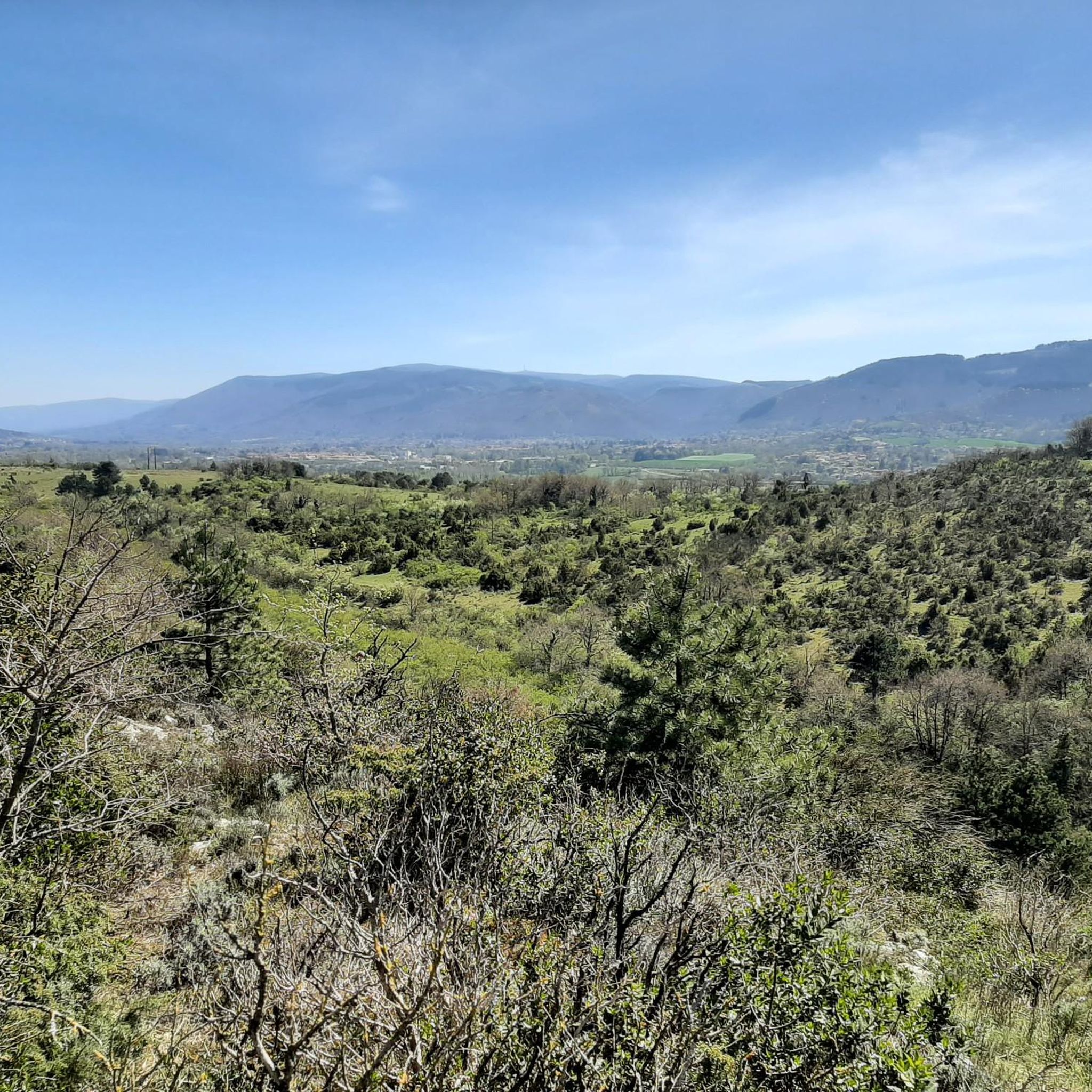
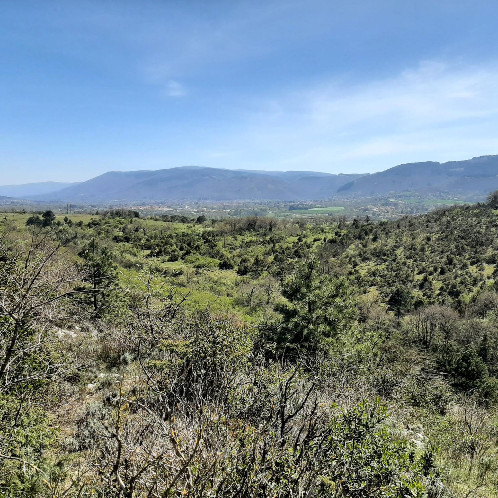
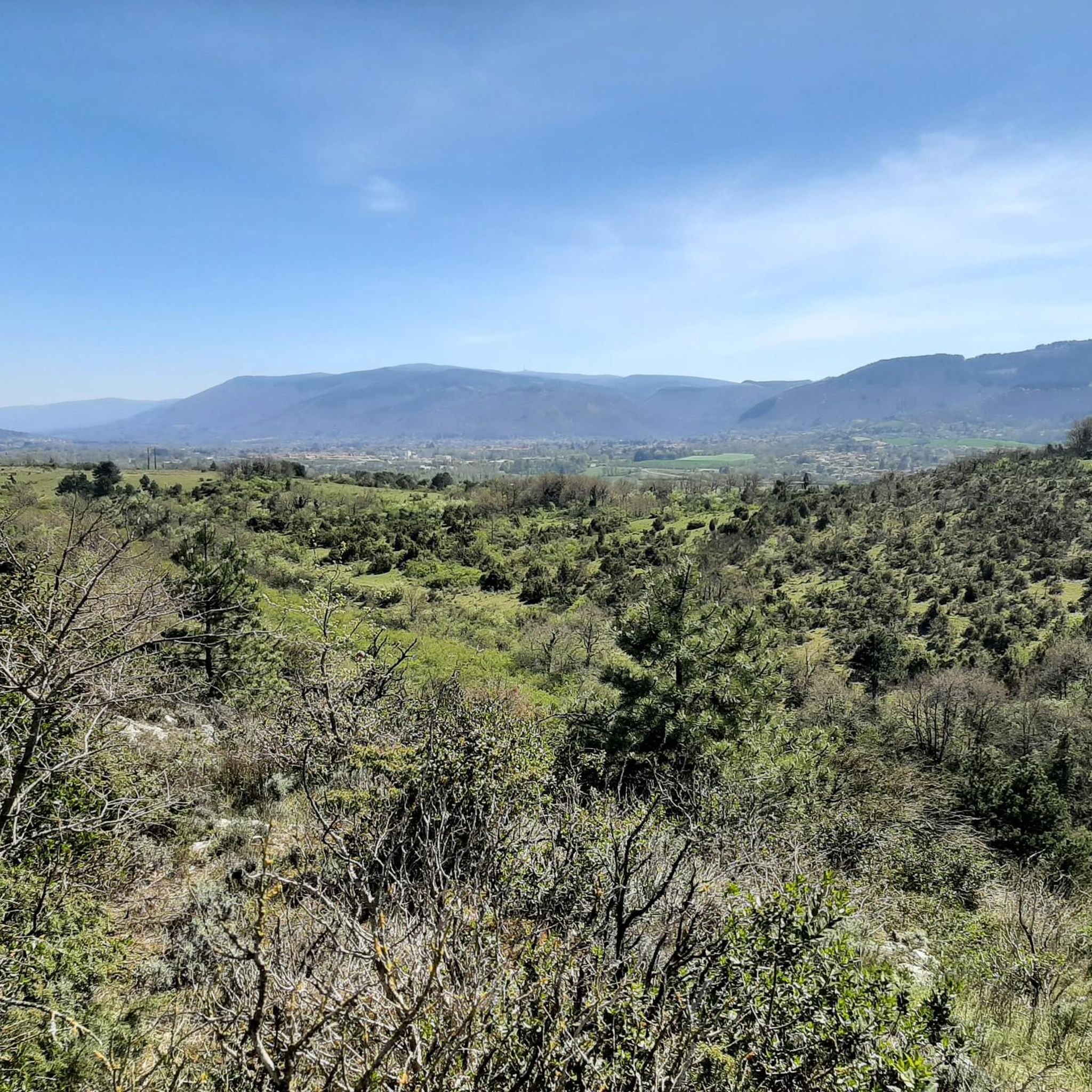
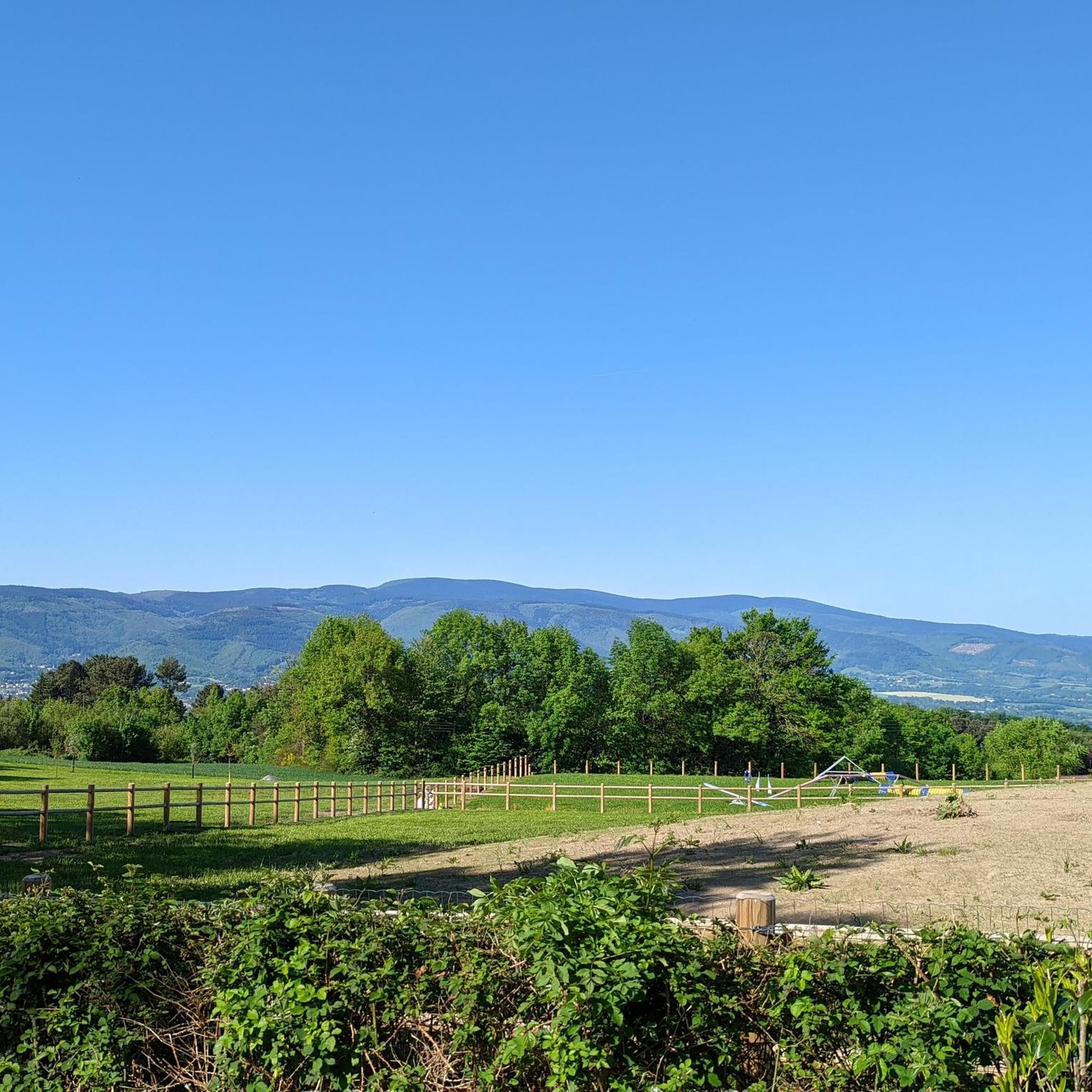
Very compact and rolling white gravel path, towards Lou Pont Trinquat. It almost feels like you're in Tuscany.
2
0

Frequently Asked Questions
What types of running routes can I find around Caucalières?
Caucalières offers a diverse range of running routes, from easy, accessible paths to more challenging trails with significant elevation changes. The region features the distinctive Causse de Caucalières, a semi-desertic limestone plateau, as well as river valleys and varied natural terrains. You'll find options suitable for all fitness levels, including over 20 easy runs, more than 220 moderate routes, and over 100 difficult trails.
Are there any family-friendly jogging paths in the Caucalières area?
Yes, the region offers several accessible paths that are suitable for family jogging. These routes often feature mostly paved surfaces or well-maintained trails, making them enjoyable for various ages and fitness levels. Look for routes described as 'easy' for the most family-friendly options.
Can I bring my dog on the running trails near Caucalières?
Many of the natural trails and paths around Caucalières are suitable for running with dogs. However, it's always recommended to check specific route details for any restrictions and to keep your dog on a leash, especially in areas with wildlife or near agricultural land. The varied terrain, including dirt paths and open landscapes, provides a great environment for you and your canine companion.
What are some notable landmarks or viewpoints I can see while running in Caucalières?
The region boasts several interesting sights. You might encounter the unique landscapes of the Causse de Caucalières with its cliffs overlooking the Thoré river. For a unique experience, consider routes that pass near the Mazamet footbridge (Passerelle de Mazamet), offering impressive views. The nearby towns of Castres and Mazamet also offer picturesque settings and historical sites.
Are there any challenging running routes for experienced runners?
Absolutely. For those seeking a rigorous workout, Caucalières offers over 100 difficult running routes. These trails often feature significant elevation gains and require good fitness and sure-footedness. An example of a challenging route is the Grotte de Lacalm – Dolmen de la Récuquelle loop from Payrin-Augmontel, which covers 12.3 miles (19.7 km) with nearly 900 meters of elevation gain. The Ascent of Pic de Nore also provides a demanding route with considerable elevation changes.
What do other runners say about the trails in Caucalières?
The running routes in Caucalières are highly regarded by the komoot community, with an average rating of 4.5 stars from over 90 reviews. Runners frequently praise the diverse landscapes, the variety of terrain, and the opportunity to explore both natural features and historical sites. Over 6,700 runners have used komoot to discover the area's trails.
Are there circular running routes available?
Yes, many of the running routes around Caucalières are designed as loops, allowing you to start and finish at the same point. For instance, the Château du Causse – Château d'Hauterive loop from Castres-Mazamet Airport is a moderate 6.0-mile (9.7 km) circular path, and the Running loop from Communauté d'agglomération de Castres-Mazamet is another popular 6.1-mile (9.8 km) option.
What is the best time of year for jogging in Caucalières?
The diverse landscapes of Caucalières make it suitable for jogging throughout much of the year. Spring and autumn offer pleasant temperatures and vibrant scenery. Summer can be warm, so early morning or late afternoon runs are often preferred. The varied terrain, from open plateaus to shaded river valleys, allows for different experiences depending on the season.
Are there any easy running routes for beginners?
Yes, beginners will find over 20 easy running routes around Caucalières. These trails are typically on accessible paths, some of which are paved, and feature minimal elevation gain, making them ideal for those new to running or looking for a gentle jog. These routes are generally shorter, often up to 3 miles (4.8 km) with less than 330 feet (100 meters) of elevation.
Where can I find parking for the running trails?
Many trailheads and popular starting points for running routes around Caucalières, particularly near towns like Castres and Mazamet, offer designated parking areas. It's advisable to check the specific route details on komoot for information on parking availability at the start of your chosen trail.
Are there opportunities for running near cafes or places to eat?
While Caucalières itself is a smaller locality, its proximity to larger towns like Castres (just 10 km away) and Mazamet means you can easily find cafes, restaurants, and accommodation options. Many running routes are accessible from these towns, allowing you to combine your run with a post-exercise refreshment or meal.
What should I bring for a run in Caucalières?
Given the varied terrain, it's recommended to wear appropriate running shoes, especially if you plan to tackle trails with natural surfaces or significant elevation changes. Hydration is key, so carry water, particularly during warmer months. Depending on the length of your run and the season, consider bringing layers of clothing, sun protection, and a fully charged phone for navigation and emergencies.
Most popular routes around Caucalières
Most popular attractions around Caucalières

Get inspired with the komoot mobile app


Explore more
Browse the best Running Trails & Routes in other regions.
