The best walks and hikes around Château-Larcher
4.5
(142)
591
hikers
64
hikes
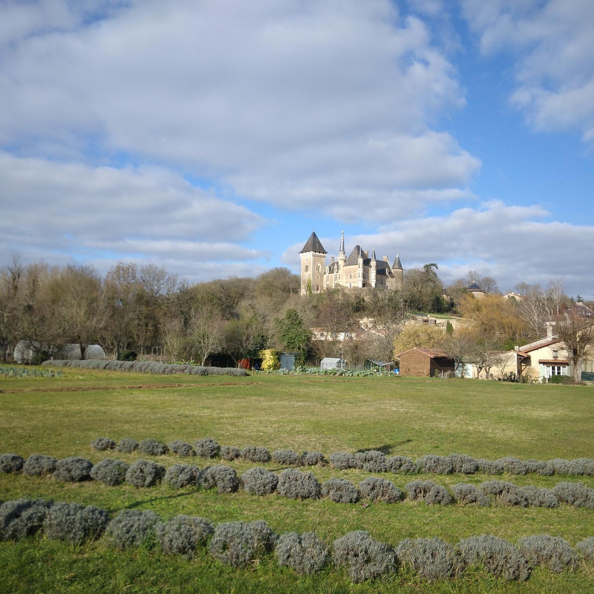
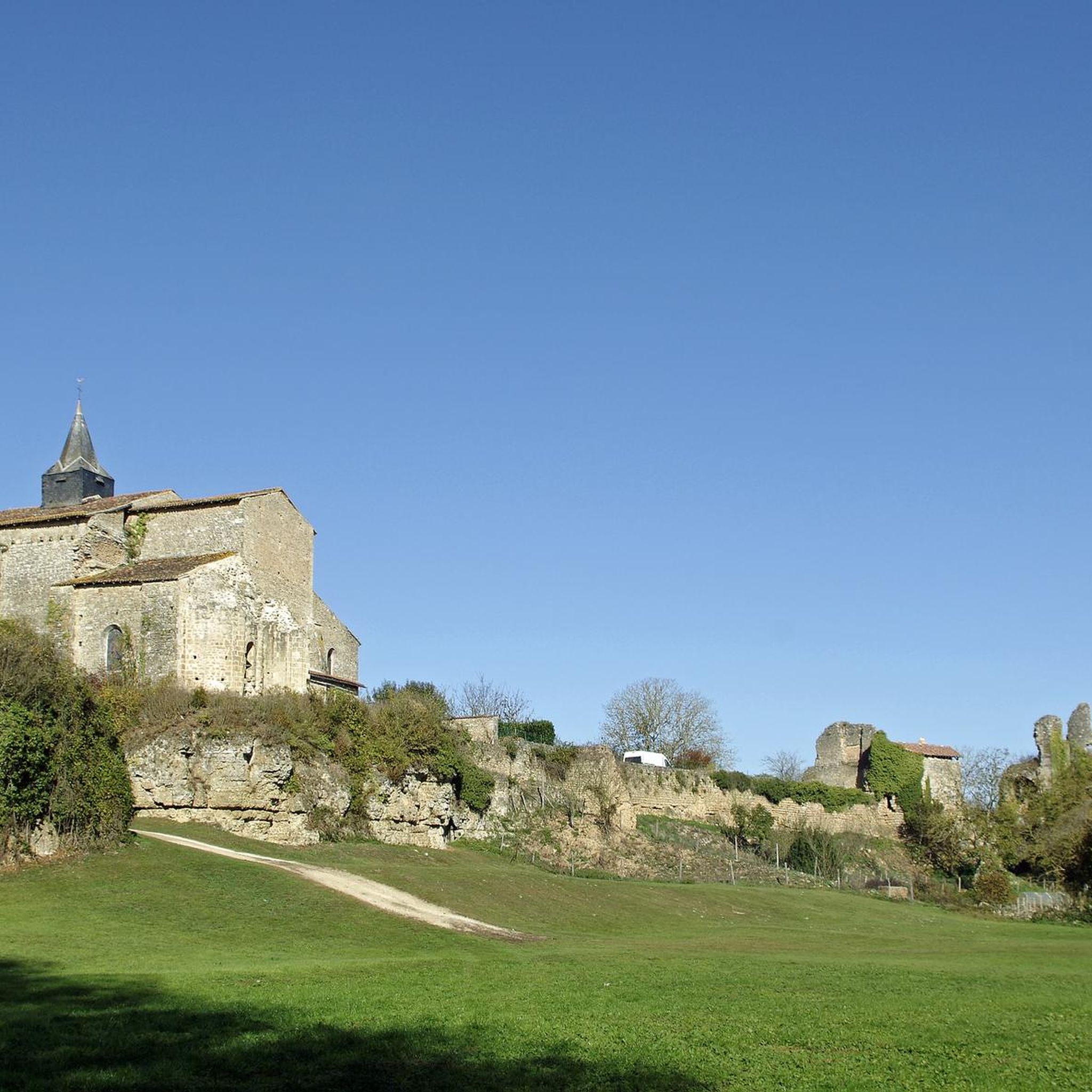
Hiking around Château-Larcher offers diverse terrain, characterized by its strategic location on a rocky outcrop overlooking the Clouère river valley. The landscape features a blend of forests, plains, and cliffs, providing varied natural scenery. Trails often follow the meandering Clouère river, passing through rural countryside and areas dotted with gardens. This region combines natural exploration with historical sites, making it suitable for different hiking preferences.
Best hiking trails around Château-Larcher
- The most popular hiking route is Château-Larcher Castle – Château…
Last updated: July 2, 2026
4.6
(14)
53
hikers
13.7km
03:37
120m
120m
Moderate hike. Good fitness required. Easily-accessible paths. Suitable for all skill levels.
4.7
(13)
41
hikers
11.1km
02:55
100m
100m
Moderate hike. Good fitness required. Easily-accessible paths. Suitable for all skill levels.

Sign up for free
5.0
(4)
21
hikers
6.89km
01:48
50m
50m
Easy hike. Great for any fitness level. Easily-accessible paths. Suitable for all skill levels.
4.0
(4)
10
hikers
Moderate hike. Good fitness required. Easily-accessible paths. Suitable for all skill levels.
4
hikers
12.2km
03:11
90m
90m
Moderate hike. Good fitness required. Easily-accessible paths. Suitable for all skill levels.
Get access to more routes and recommendations from other explorers.
Sign up for free
Already have an account?
Our route recommendations are based on thousands of hikes, rides, and runs completed by other people on komoot.
Start today with a free account
Your next adventure awaits.
Login or Signup


Tips from the Community


It can be discovered from several hiking trails starting from Aslonnes. Worth the detour. Remains mysterious, a few signs explain its original function.
1
0
This stone cabin is located about a kilometer west of the village, its construction, in dry stone, dates back to the 19th century. It borders, a few dozen meters away, a local dirt road going from Aslonnes to Jouarenne.
1
0

short walk around larcher castle
0
0
beautiful circuit
1
0

Walk mixing undergrowth, riverside and small village.
0
1

The dolmen was built around 4500 BC and is part of 3 monuments 30 meters apart. It is believed that they were part of a large Celtic necropolis.
3
0

Bike path and hiking trail very well laid out! Along the track, we can see Dolmens, in particular that of Alrait.
2
0
Frequently Asked Questions
How many hiking trails are available around Château-Larcher?
There are over 60 hiking routes around Château-Larcher, catering to various skill levels. The area offers a mix of easy strolls, moderate loops, and a few more challenging routes, with 20 easy, 42 moderate, and 2 difficult trails.
What kind of landscapes can I expect to see while hiking in Château-Larcher?
Château-Larcher's landscape is diverse, featuring a blend of forests, plains, and cliffs. Many trails follow the meandering Clouère river, offering picturesque views of the valley and rural countryside, often dotted with gardens. The village itself is set on a rocky outcrop, providing panoramic vistas.
Are there any family-friendly hiking options in Château-Larcher?
Yes, Château-Larcher offers several accessible trails suitable for families, including those with minimal elevation changes. The Hiking loop from Châtillon is an easy 6.9 km trail that takes less than two hours, perfect for a family outing. The leisure area on the banks of the Clouère also provides children's games and picnic tables for a pleasant break.
What historical landmarks can I discover on the trails around Château-Larcher?
The area is rich in history. You can explore the ruins of the medieval Château-Larcher Castle, its defensive towers, and the platform of the ancient castle. The Romanesque church with its ornate portal and the unique 13th-century Lanterne des Morts are also significant sites. The Dolmen d'Arlait – Château-Larcher Castle loop from Château-Larcher trail connects the ancient Dolmen d'Arlait with the castle ruins.
Are there any circular hiking routes in Château-Larcher?
Yes, many of the trails around Château-Larcher are circular. For instance, the Château-Larcher Castle – Château Larcher loop from Vivonne is a popular 13.7 km moderate route. Another option is the Château-Larcher Castle – Château-Larcher loop from Château-Larcher, a 9.5 km moderate trail.
What do other hikers enjoy most about hiking in Château-Larcher?
The komoot community highly rates the hiking experience in Château-Larcher, with an average score of 4.6 stars from over 100 reviews. Hikers often praise the varied terrain, the scenic views of the Clouère valley, and the integration of historical sites like the castle and dolmen into the natural routes.
Can I hike with my dog in Château-Larcher?
While specific dog-friendly regulations for all trails are not detailed, the rural character and numerous paths through forests and countryside generally make the area suitable for hiking with dogs. It's always advisable to keep dogs on a leash, especially near wildlife or livestock, and to respect local signage.
Are there any challenging hikes for experienced adventurers?
For those seeking a challenge, the region offers routes with moderate climbs and panoramic vistas, such as the 'Sentier du Roc Rouge' mentioned in regional research. There are also two trails categorized as difficult in the komoot data, providing a more strenuous experience for experienced hikers.
Where can I find parking for hiking trails in Château-Larcher?
Parking is generally available within the village of Château-Larcher, especially near key attractions like the castle or the leisure area. Many trails, such as the Dolmen d'Arlait – Château-Larcher Castle loop from Château-Larcher, start directly from the village, making it convenient to park and begin your hike.
What is the best time of year to go hiking in Château-Larcher?
Château-Larcher is enjoyable for hiking across multiple seasons. Spring and autumn offer pleasant temperatures and vibrant natural colors, while summer provides longer daylight hours. The diverse landscapes, including wooded areas and river paths, make it appealing throughout the year, though checking local weather is always recommended.
Are there places to relax or have a picnic during a hike?
Yes, the leisure area on the banks of the Clouère river is an ideal spot for a break. It features a 2-hectare lake, children's games, and picnic tables, making it a perfect place to rest and enjoy the surroundings during or after your hike. You can find more information about this area at Château-Larcher leisure area.
Can I reach hiking trails in Château-Larcher using public transport?
While specific public transport links directly to trailheads are not extensively detailed, Château-Larcher is a village in the Vienne region. It's advisable to check local bus services or regional transport options that connect to the village center, from where many hiking routes commence.
Most popular routes around Château-Larcher
Most popular attractions around Château-Larcher

Get inspired with the komoot mobile app


Explore more
Browse the best Hikes in other regions.
