The best running trails around Val-D'Isère
4.5
(20)
2,518
runners
46
runs
Jogging around Val-D'Isère offers diverse terrain within the French Alps, situated at the edge of the Vanoise National Park. The region features high mountain trails, picturesque valleys like the Manchet Valley, and serene alpine lakes such as Lac de l'Ouillette. Runners can explore a network of paths through forests, along riverbanks, and up to high mountain passes, providing varied elevation and scenic backdrops.
Best jogging routes around Val-D'Isère
- The most popular jogging route is Col de l'Iseran – Le Fornet Village loop from Val-d'Isère, a 6.7 miles (10.7 km) trail that takes 1 hour 17 minutes to complete. This route offers significant elevation gain towards the Col de l'Iseran, providing expansive mountain views.
- Another top favourite among local runners is Le Fornet loop from Val-d'Isère, a difficult 5.2 miles (8.4 km) path. This trail navigates through the local landscape, offering a challenging experience with varied terrain.
- Local runners also love the Ascent to Mont Picheru – Le Fornet loop from Val-d'Isère, a 12.2 miles (19.7 km) trail leading through Mont Picheru and the Le Fornet area, often completed in about 3 hours 58 minutes.
- Jogging around Val-D'Isère is defined by high mountain trails, alpine valleys, and lakes. The extensive network offers options for various ability levels, from gentle jogs to challenging trail running.
- The routes in Val-D'Isère are highly rated by the komoot community with an average score of 3.8 stars from more than 10 reviews. More than 2000 runners have used komoot to explore Val-D'Isère's varied terrain.
Last updated: October 4, 2026
5.0
(2)
315
runners
34.5km
06:34
2,520m
2,520m
Hard run. Very good fitness required. Sure-footedness, sturdy shoes and alpine experience required.
152
runners
18.4km
03:02
870m
870m
Hard run. Very good fitness required. Sure-footedness, sturdy shoes and alpine experience required.

5.0
(1)
149
runners
10.9km
01:19
290m
290m
Moderate run. Good fitness required. Mostly paved surfaces. Suitable for all skill levels.
3.0
(2)
168
runners
7.04km
00:45
120m
120m
Moderate run. Good fitness required. Mostly paved surfaces. Suitable for all skill levels.
141
runners
8.76km
01:02
210m
210m
Moderate run. Good fitness required. Mostly paved surfaces. Suitable for all skill levels.
Get access to more routes and recommendations from other explorers.
Already have an account?
Our route recommendations are based on thousands of hikes, rides, and runs completed by other people on komoot.
Start today with a free account
Your next adventure awaits.
Popular around Val-D'Isère
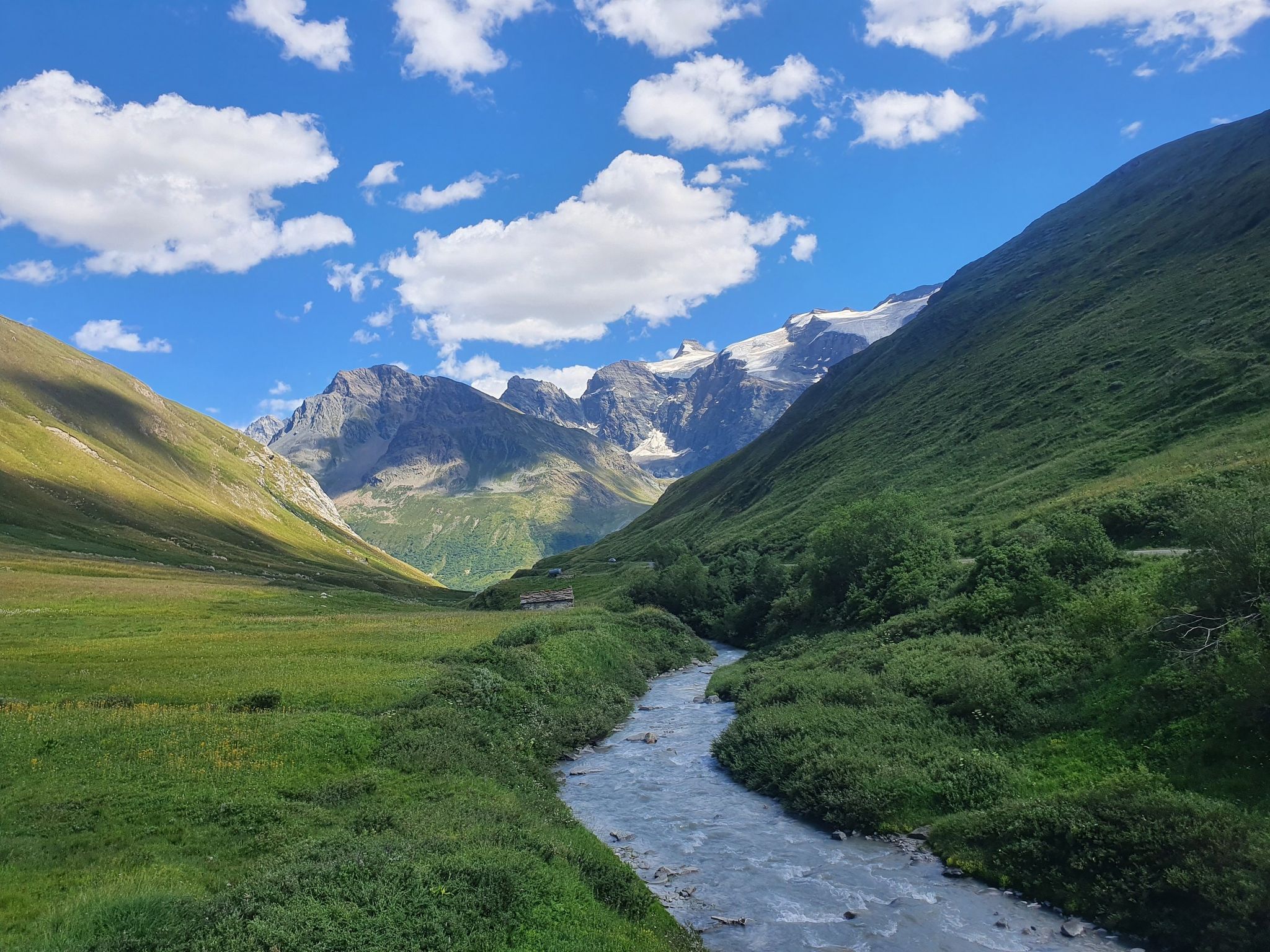
Europe Trail (GR 5) – Hike from Briançon to Landry

Route des Grandes Alpes
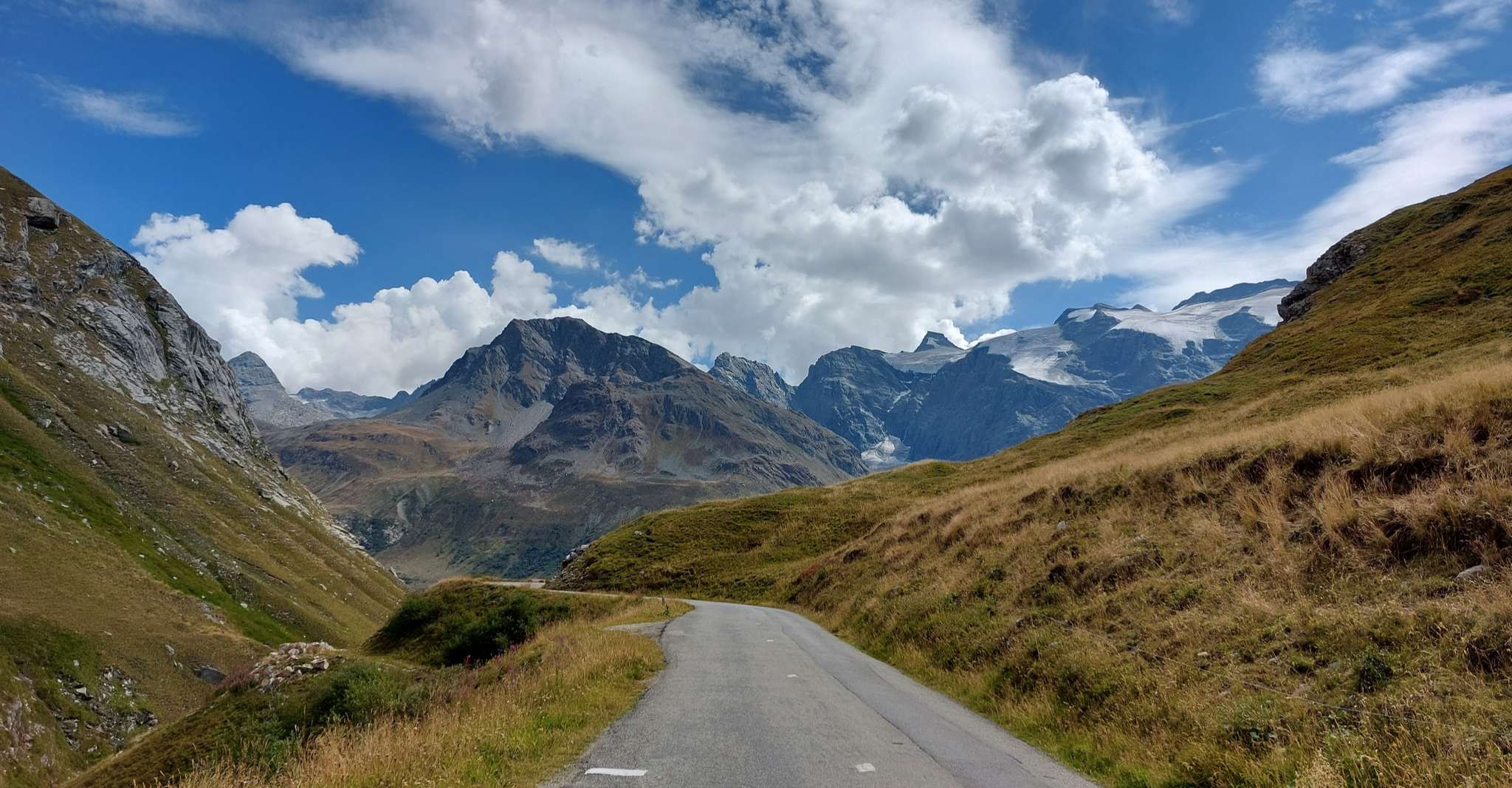
Briançon to Aosta – travelling across the Alps (part 2)

High mountain escapades — 15 peaks over 3,000m in the Alps

On the roof of Europe – cycling France’s Col d’Iseran out of season
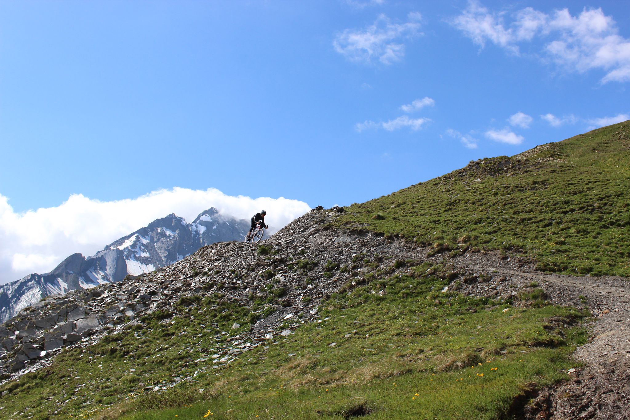
Spectacular Alpine gravel roads of the Tarentaise Valley

Legendary passes of the Tour de France
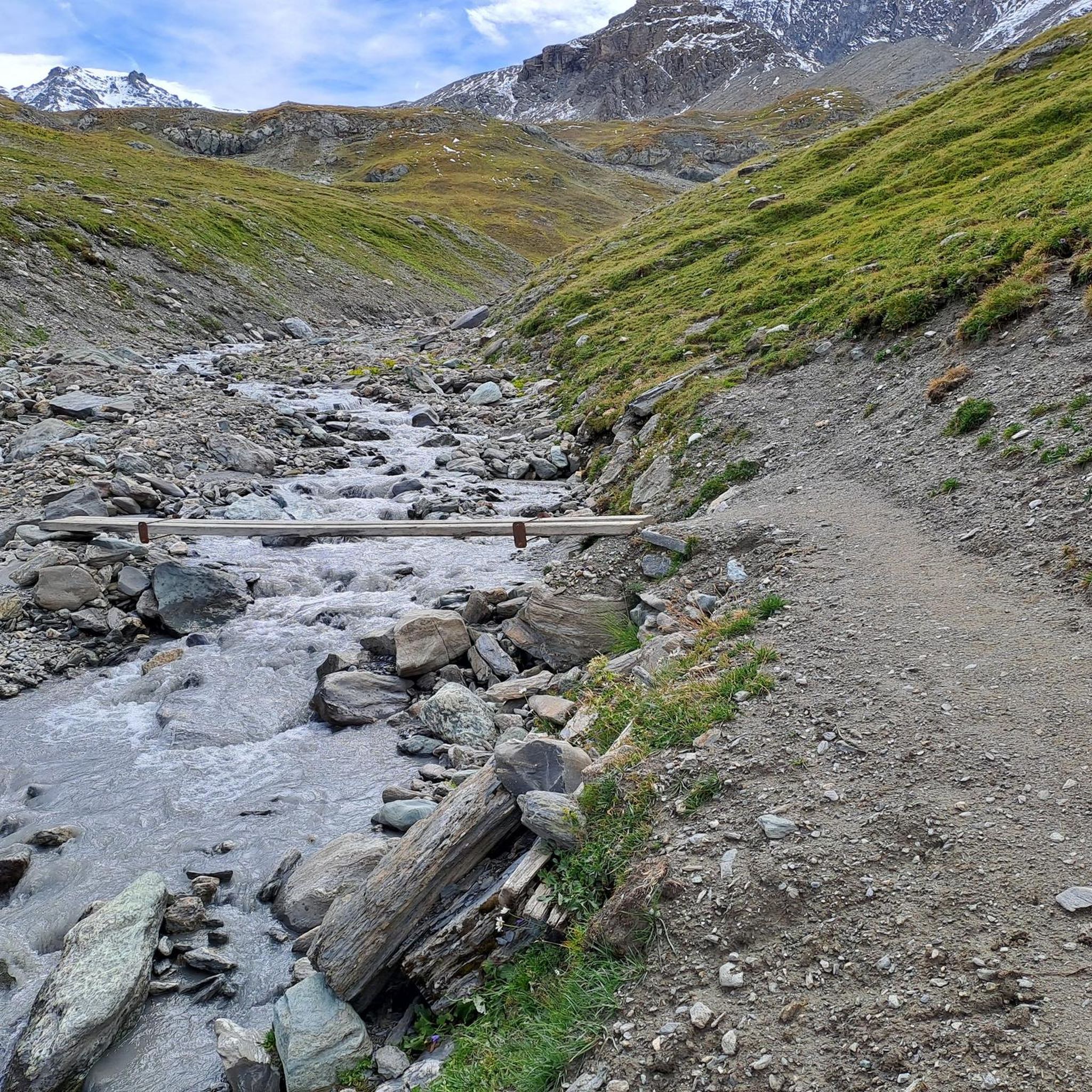
Hiking around Val-D'Isère
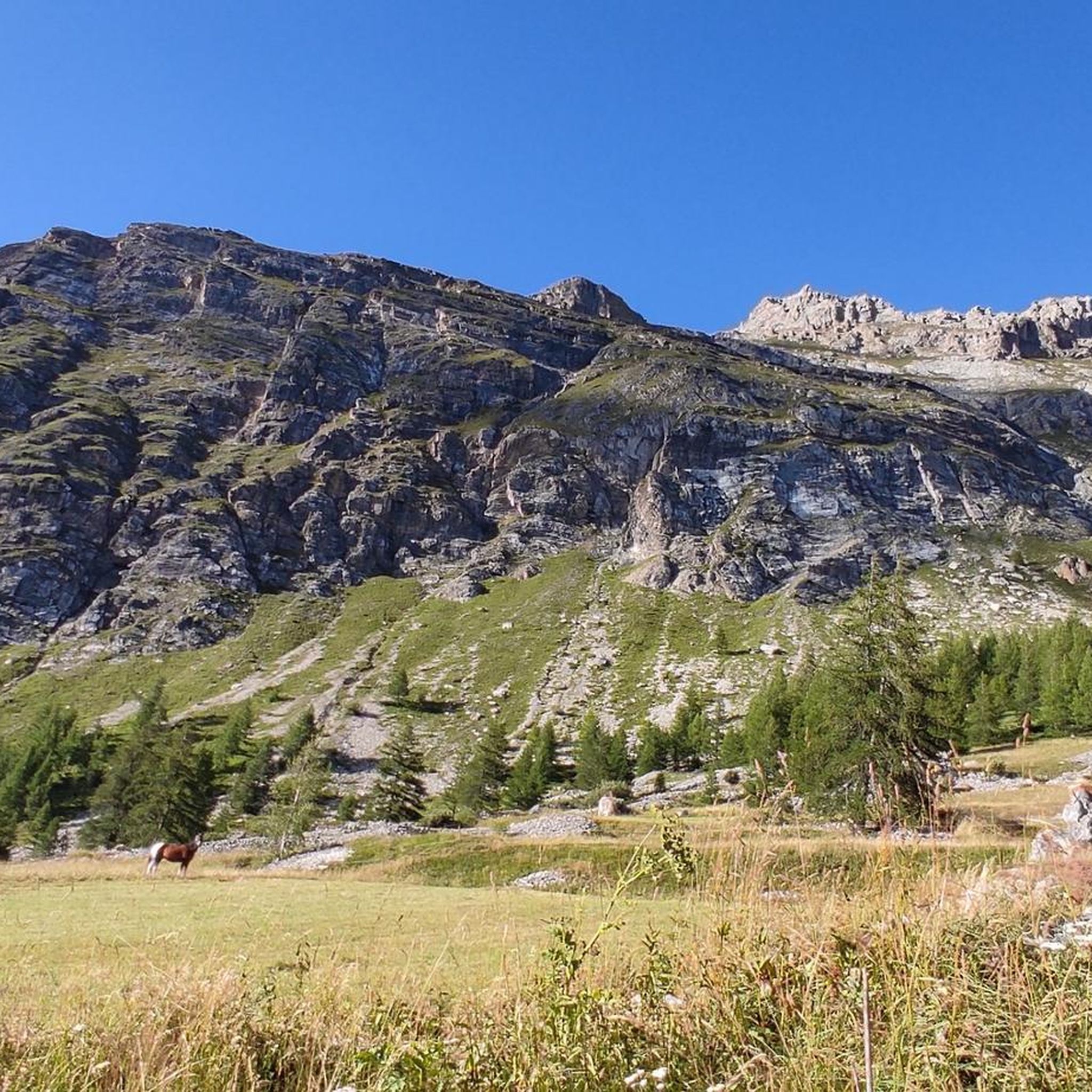
MTB Trails around Val-D'Isère
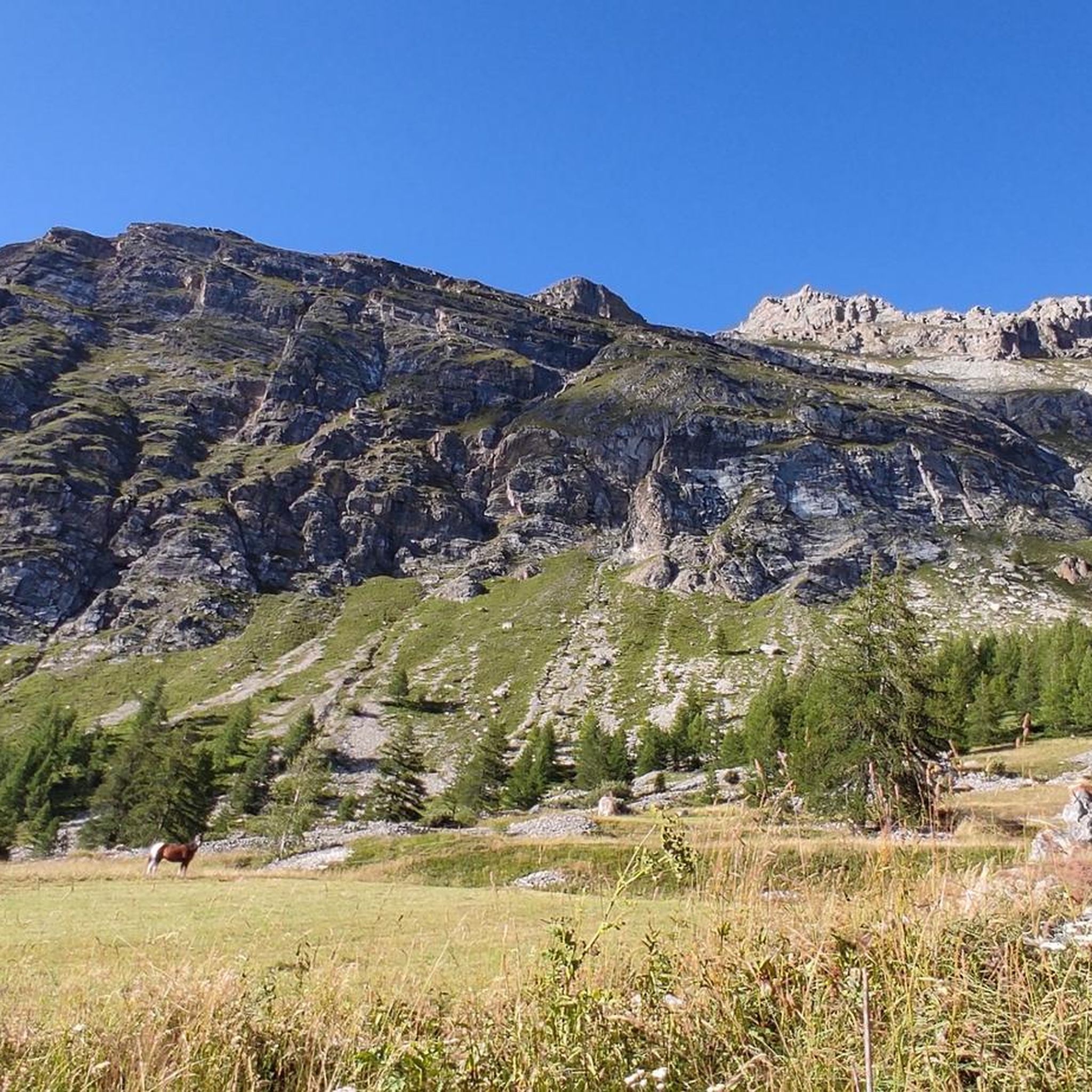
Road Cycling Routes around Val-D'Isère
Other adventures around Val-D'Isère


Tips from the Community

super mega pretty here
0
0

Nice stone bridge, also a toilet at the parking lot beforehand.
0
0
Start of the ascent, the pass is further up later.
0
0
Nice little original village on the pass road
0
0
Nice little town with a beautiful hotel.
2
0
Good start for the pass, not a really nice place.
2
0

Real summer life and activities for all tastes.
0
0

Superb resort, the mountains around are magnificent!
0
1
Frequently Asked Questions
How many running routes are available around Val-d'Isère?
Val-d'Isère offers a wide selection of running routes, with over 45 trails available for exploration. These range from easy jogs to challenging long-distance runs, catering to various fitness levels.
Are there easy or beginner-friendly jogging routes in Val-d'Isère?
Yes, Val-d'Isère has options suitable for beginners and those looking for an easier run. While many routes are challenging, there are at least two easy-rated trails. The picturesque Manchet Valley is often highlighted as an ideal location for walking and trail running, featuring routes suitable for beginners.
Which running trails offer the best scenic views in Val-d'Isère?
Many routes in Val-d'Isère boast stunning alpine scenery. The Col de l'Iseran – Le Fornet Village loop provides expansive mountain views, especially as you gain elevation towards the Col de l'Iseran. Trails around Iseran Pass and Lac de l'Ouillette (at 2,400m) are also known for breathtaking mountain vistas.
Are there any circular running routes in Val-d'Isère?
Yes, several routes in Val-d'Isère are circular, allowing you to start and finish in the same location. Examples include the popular Col de l'Iseran – Le Fornet Village loop and the more challenging Le Fornet loop. These loops are great for exploring the diverse terrain without retracing your steps.
What kind of terrain can I expect on Val-d'Isère's running trails?
Val-d'Isère's running trails offer diverse terrain, from footpaths through lush forests and along riverbanks to high mountain trails with significant elevation gain. You'll encounter varied surfaces, including dirt paths, rocky sections, and some paved areas, especially around villages or passes. The region is at the edge of the Vanoise National Park, ensuring a pristine natural environment.
Are there challenging running routes with significant elevation gain?
Absolutely. Val-d'Isère is known for its challenging trail running opportunities. Routes like the Ascent to Mont Picheru – Le Fornet loop feature substantial elevation changes, with climbs exceeding 1,300 meters. The Col de l'Iseran, as the highest paved pass in the Alps, also offers rewarding challenges for runners seeking significant vertical gain.
What attractions or landmarks can I see along the running routes?
While running, you can encounter several notable landmarks and natural features. The Iseran Pass offers magnificent views. You might also pass by charming traditional chalet-style buildings in villages like Le Fornet. For those interested in natural beauty, there are several waterfalls nearby, such as the Dora di Rhêmes Waterfall or the Pied de l'Écho Waterfall.
What do other runners enjoy most about jogging in Val-d'Isère?
The running routes in Val-d'Isère are highly rated by the komoot community, with an average score of 3.8 stars. Runners often praise the stunning alpine scenery, the diversity of trails, and the opportunity to explore the Vanoise National Park. The well-marked routes and varied difficulty levels also contribute to a positive experience.
Can I find long-distance running trails in Val-d'Isère?
Yes, Val-d'Isère offers several long-distance running trails. For instance, the Ascent to Mont Picheru – Le Fornet loop is nearly 20 km long, providing a substantial challenge. The region's extensive network of marked trails, including sections of the GR®5 long-distance hiking route, allows for extended runs through diverse alpine landscapes.
Are there any running routes that are suitable for families?
While many routes in Val-d'Isère are challenging, the Manchet Valley is known for offering paths suitable for various abilities, including families. Look for easier-rated trails or shorter loops that allow for a more relaxed pace, enabling everyone to enjoy the beautiful surroundings of the Vanoise National Park.
What is the best time of year for running in Val-d'Isère?
Val-d'Isère transforms into an exceptional hub for outdoor activities during the summer months, making it an ideal time for jogging. The trails are clear of snow, and the weather is generally pleasant for exploring the high mountain paths, valleys, and lakes. While primarily a ski destination, summer offers a diverse and breathtaking landscape for runners.
Are there specific trail running routes developed in Val-d'Isère?
Yes, Val-d'Isère, in partnership with Station de Trail and On Piste, has specifically developed and marked trail running routes. These routes vary in difficulty and are directly accessible from the village, designed to help runners explore the best of the alpine scenery safely and effectively.
Most popular routes around Val-D'Isère
Most popular attractions around Val-D'Isère

Get inspired with the komoot mobile app


Explore more
Browse the best Running Trails & Routes in other regions.
