The best running trails around Arconcey
4.6
(16)
508
runners
56
runs
Jogging around Arconcey offers access to a tranquil rural environment in the Côte-d'Or department. The region is characterized by a mix of agricultural lands, expansive prairies, and forests, providing a serene setting for running. Altitudes range from 375m to 534m, offering varied terrain with undulating hills. The nearby Morvan Regional Natural Park and the Canal de Bourgogne also present additional options for diverse running experiences.
Best jogging routes around Arconcey
- The most popular jogging route is View of Château de…
Last updated: July 3, 2026
4.0
(1)
6
runners
6.52km
00:45
140m
140m
Moderate run. Good fitness required. Mostly paved surfaces. Suitable for all skill levels.
5
runners
9.02km
01:05
170m
170m
Moderate run. Good fitness required. Mostly paved surfaces. Suitable for all skill levels.

Sign up for free
3
runners
7.13km
00:45
60m
70m
Moderate run. Good fitness required. Mostly paved surfaces. Suitable for all skill levels.
4
runners
9.88km
01:05
170m
170m
Moderate run. Good fitness required. Mostly paved surfaces. Suitable for all skill levels.
3
runners
3.48km
00:24
10m
10m
Easy run. Great for any fitness level. Mostly paved surfaces. Suitable for all skill levels.
Get access to more routes and recommendations from other explorers.
Sign up for free
Already have an account?
Our route recommendations are based on thousands of hikes, rides, and runs completed by other people on komoot.
Start today with a free account
Your next adventure awaits.
Login or Signup
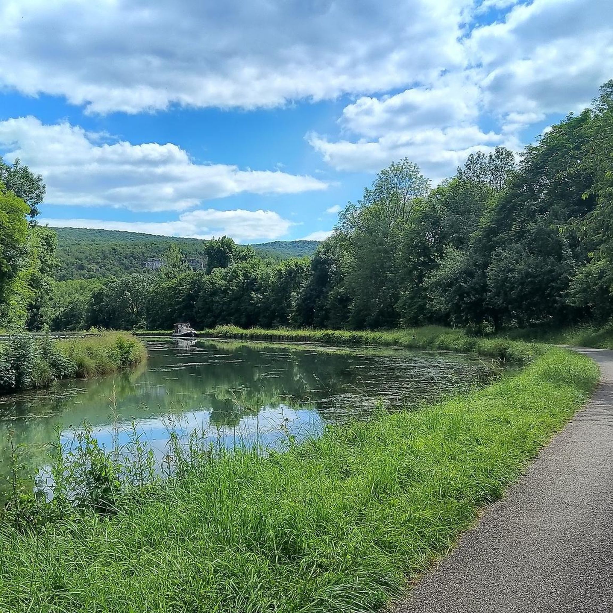

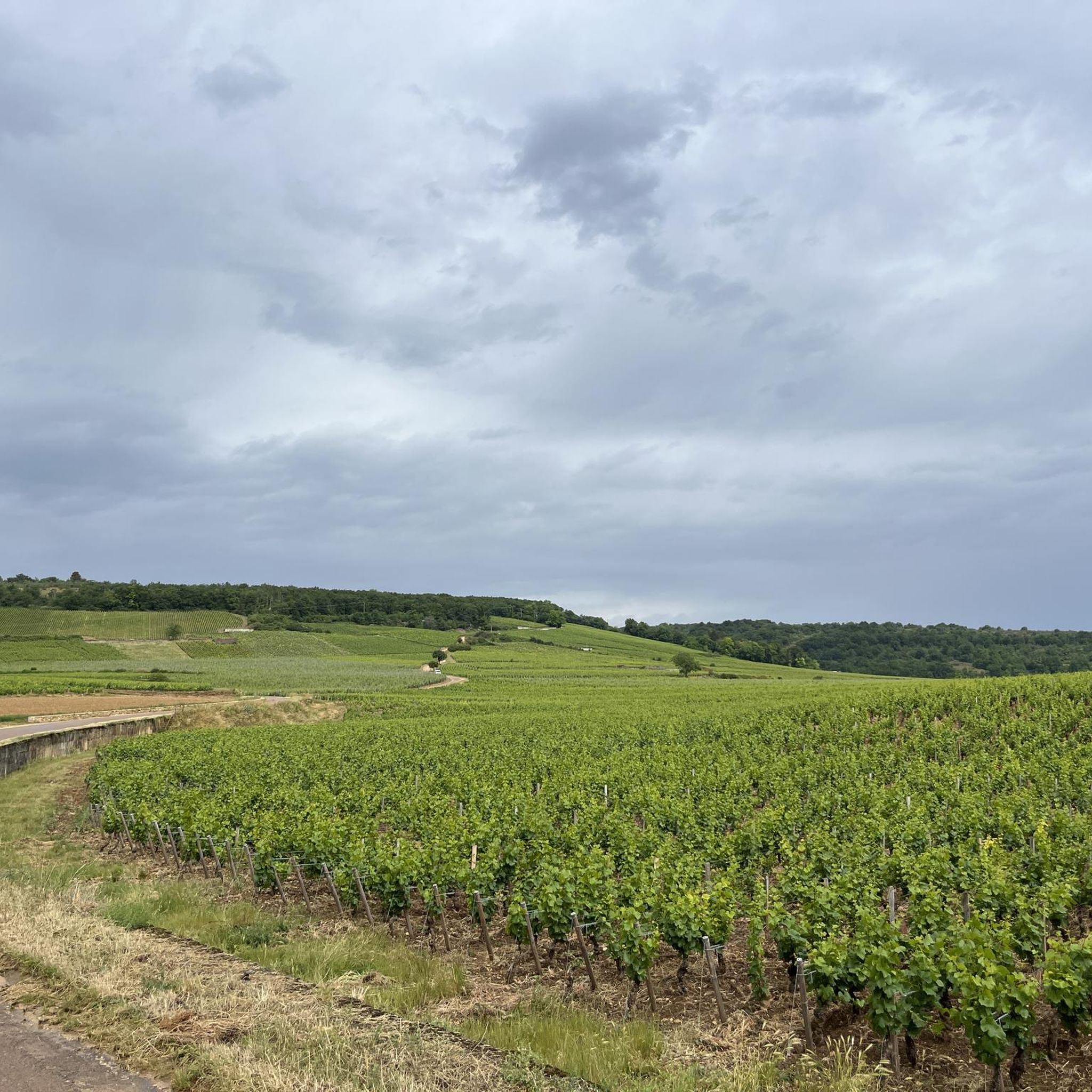
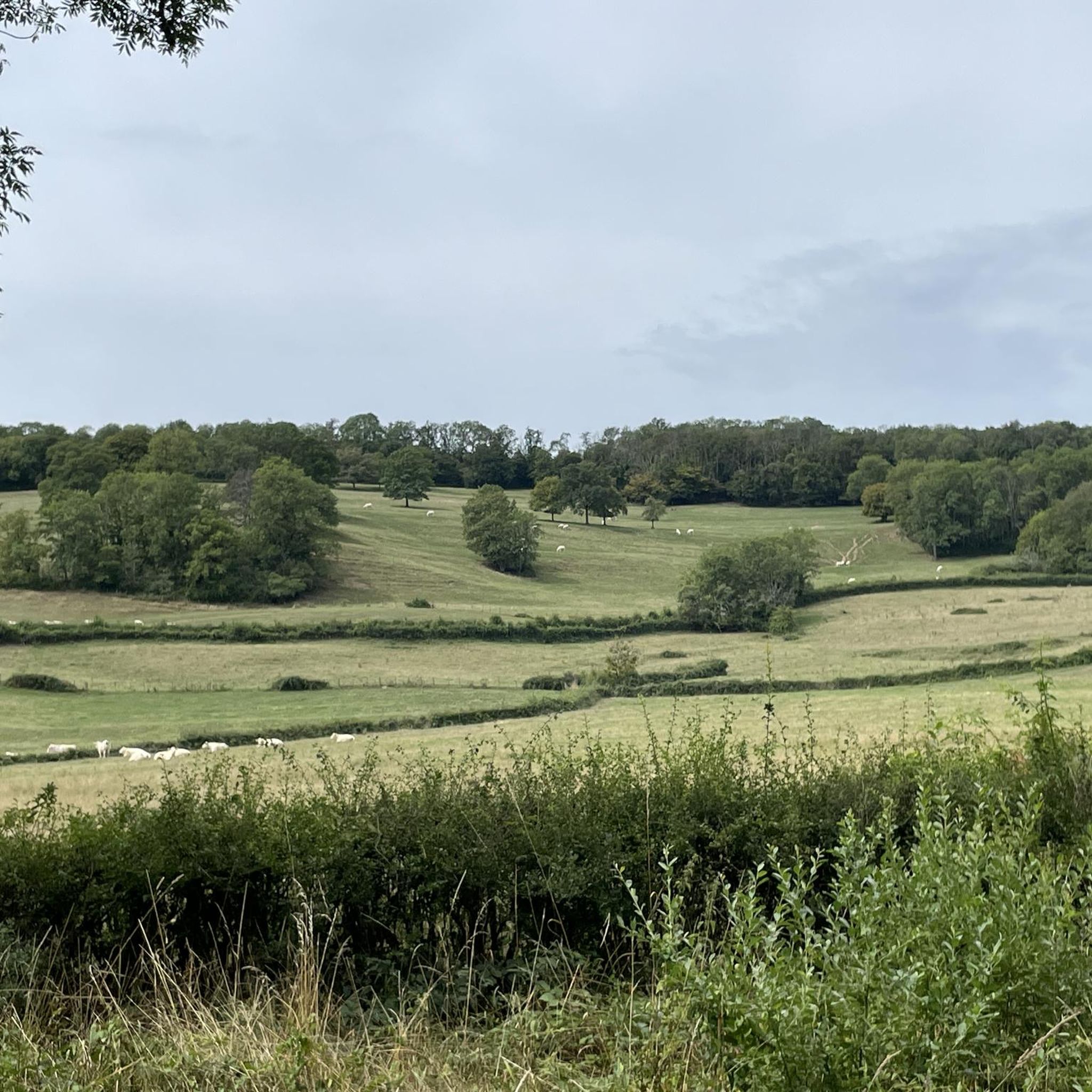
Tips from the Community

Stunning view of the Château de Chailly from this vantage point. Sometimes we are too close to something to appreciate its full beauty.
2
0
Frequently Asked Questions
How many running routes are available around Arconcey?
There are over 50 running routes around Arconcey, offering a variety of options for different preferences and fitness levels. The komoot community has explored these trails over 450 times, with an average rating of 4.5 stars.
What kind of terrain can I expect on the jogging routes near Arconcey?
The terrain around Arconcey is characterized by a tranquil rural environment, featuring a mix of agricultural lands, expansive prairies, and forests. You'll encounter undulating hills with altitudes ranging from 375m to 534m, providing varied running experiences. For flatter options, the Canal de Bourgogne offers excellent, low-elevation paths.
Are there any easy running routes suitable for beginners or families?
Yes, Arconcey offers several easy running routes. For instance, the Running loop from Thoisy-le-Désert is an easy 3.5 km path with minimal elevation gain, perfect for a relaxed run. The paths along the Canal de Bourgogne are also generally flat and accessible for all fitness levels.
Can I find challenging running trails in the Arconcey area?
While most routes are moderate, the region's undulating hills provide some challenge. For more demanding runs, you can explore the broader Burgundy region, including the nearby Morvan Regional Natural Park, which offers more extensive and varied terrain with significant elevation changes. Within Arconcey, routes like the Running loop from Chailly-sur-Armançon offer moderate challenges over 10 km.
Are the running trails around Arconcey dog-friendly?
Many of the rural paths and forest trails around Arconcey are suitable for running with dogs, especially given the tranquil countryside setting. However, it's always recommended to keep dogs on a leash, particularly when passing through agricultural areas or near livestock, and to respect local regulations.
What are some notable landmarks or attractions I might see while running near Arconcey?
You can combine your run with scenic views of historical sites and natural features. For example, the View of Château de Chailly loop from Chailly-sur-Armançon offers views of the historic Château de Chailly. Other nearby attractions include the Entrance to the Tunnel of the Burgundy Canal and the picturesque Éguilly Castle.
Are there any circular running routes available?
Yes, many of the running routes around Arconcey are circular, allowing you to start and finish at the same point. Popular options include the View of Château de Chailly loop from Chailly-sur-Armançon and the Running loop from Marcilly-Ogny, both offering convenient loop experiences.
What do other runners say about the trails in Arconcey?
The running routes in Arconcey are highly rated by the komoot community, with an average score of 4.5 stars from over 16 reviews. Runners often praise the serene rural environment, the mix of agricultural lands and forests, and the varied terrain that makes for an engaging experience away from urban bustle.
Is there public transport access to the running routes around Arconcey?
Arconcey is a small rural commune, and direct public transport access to specific trailheads might be limited. It's generally recommended to use a car to reach the starting points of the running routes. For detailed information on regional public transport, you might need to consult local Burgundy transport services.
Where can I find parking for the jogging routes?
Parking is typically available in the villages where the routes begin, such as Chailly-sur-Armançon, Châtellenot, or Marcilly-Ogny. These are generally small, rural communities, so street parking or small village car parks are usually accessible near the trailheads.
Are there any running routes that offer scenic views or natural beauty?
Absolutely! The entire region is known for its picturesque landscapes. Routes often wind through expansive prairies and forests, offering tranquil natural beauty. The Château de Châtellenot loop from Châtellenot, for example, takes you through rolling countryside. The nearby Morvan Regional Natural Park also provides unspoiled countryside with small fields, lakes, and extensive wooded areas for stunning views.
Are there options for longer distance running in the Arconcey area?
Yes, while many routes are moderate in length, you can combine several trails or explore longer sections, especially along the Canal de Bourgogne, which offers extended, flat paths. The Running loop from Chailly-sur-Armançon is a good starting point for a longer run at 10 km.
Are there any running routes along water bodies like canals or lakes?
Yes, the Canal de Bourgogne is a fantastic option for running alongside water. Its towpath has been developed into a cycling path (véloroute), providing a scenic and flat surface ideal for jogging. Additionally, Lac de Panthier, mentioned for its promenades, offers another pleasant natural setting for a run near water.
Most popular attractions around Arconcey

Get inspired with the komoot mobile app


Explore more
Browse the best Running Trails & Routes in other regions.
