The best walks and hikes around Wulverdinghe
4.5
(1088)
6,033
hikers
273
hikes
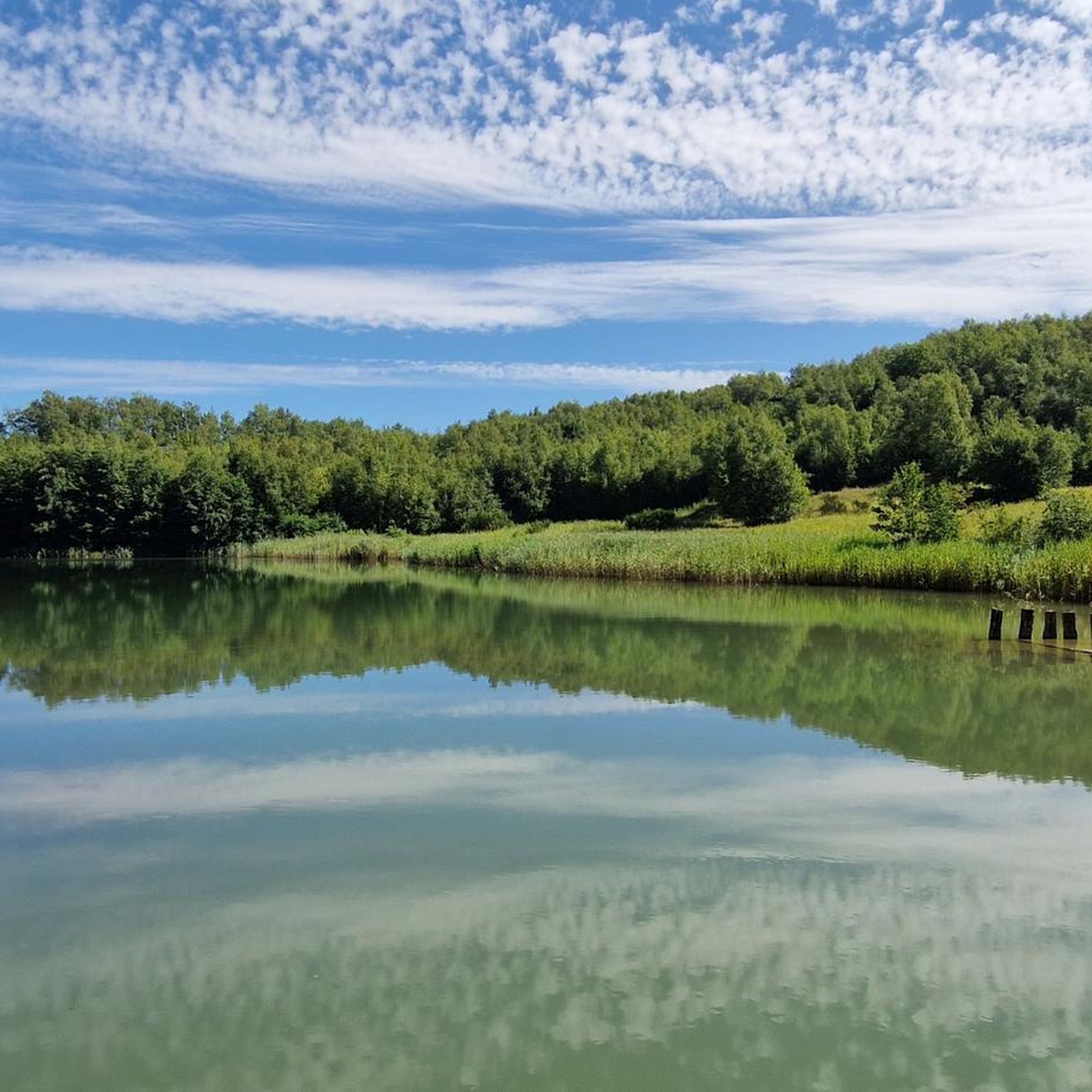
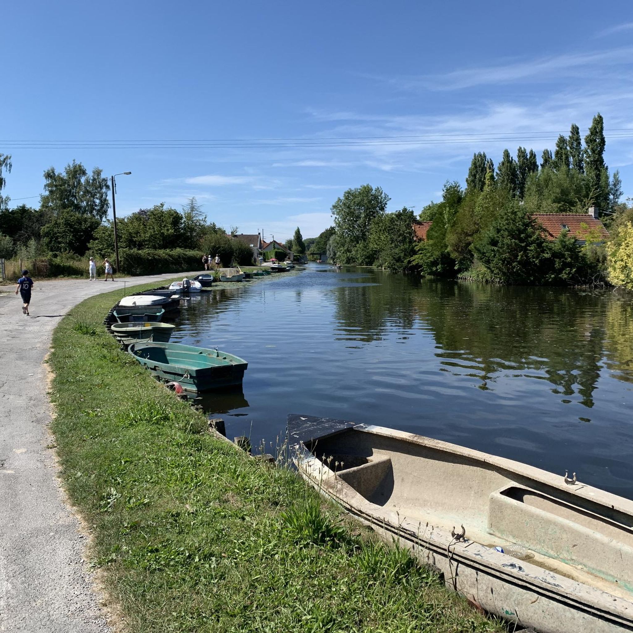
Hiking around Wulverdinghe offers access to diverse landscapes in the Nord department of Hauts-de-France. The region features a mix of wetland environments, ancient peat bogs, and distinctive chalk hills, providing varied terrain for outdoor activities. Elevations in the area range from 14 to 72 meters, with routes often traversing woodlands and open countryside. This area is characterized by its natural reserves, which include ponds, canals, and dry grasslands.
Best hiking trails around Wulverdinghe
- The most popular hiking route is Watten…
Last updated: June 27, 2026
3.9
(10)
31
hikers
7.02km
01:52
80m
80m
Easy hike. Great for any fitness level. Easily-accessible paths. Suitable for all skill levels.
4.6
(11)
36
hikers
11.8km
03:00
30m
30m
Moderate hike. Good fitness required. Easily-accessible paths. Suitable for all skill levels.

Sign up for free
4.8
(5)
35
hikers
1.62km
00:26
20m
20m
Easy hike. Great for any fitness level. Easily-accessible paths. Suitable for all skill levels.
5.0
(2)
12
hikers
9.98km
02:40
110m
110m
Moderate hike. Good fitness required. Easily-accessible paths. Suitable for all skill levels.
5.0
(1)
17
hikers
15.1km
03:54
70m
70m
Moderate hike. Good fitness required. Easily-accessible paths. Suitable for all skill levels.
Get access to more routes and recommendations from other explorers.
Sign up for free
Already have an account?
Our route recommendations are based on thousands of hikes, rides, and runs completed by other people on komoot.
Start today with a free account
Your next adventure awaits.
Login or Signup



Tips from the Community


As a memorial to the many dead, such a “MONUMENT AUX MORTS” (usually called a “cenotaph” or “war memorial” in German-speaking countries) is still very important today. “Now you, Lord, let your servant depart in peace, as you said...” it says in the so-called “Song of Simeon” (Gospel of Luke chapter 2, verse 29). However, the people who are remembered here did not die in peace, but rather became victims of war and tyranny. This is why the term “Fallen Monument” is now sometimes used instead of the “war memorial” that was previously common in German. In the French-speaking world, however, this aspect of commemorating the dead has long been included through the commonly used term "MONUMENT AUX MORTS". Regardless of language and nation, such a monument has two important and at the same time eternal tasks: -1- To keep the memory of the suffering and horror of the war alive, -2- and to call for the lasting preservation of peace.
0
0

Worth the climb up the hill. Small park at the top accesses the mill. Best example I have ever seen
2
0

The Montagne de Watten site is a viewpoint located in Watten, in the Nord department in France. It offers a panoramic view of the city and its surroundings.
9
0
The Watten mill was built in the 18th century on the site of a bastion. It has been restored and in the summer the blades turn as before.
7
0
On the hills are also the ruins of an abbey (private property) with a square Gothic tower. The esplanade in front of the abbey entrance offers a view of the gorge formed by the Aa (canal, railway) and the Forêt Domaniale d'Eperlecques.
7
0

The Mont de Watten is the westernmost extension of the West Flemish Hills. With its 72m it dominates the Aa valley and the Flemish plain. Turenne used the hill as a lookout post for the battle of Dunkirk (1658) and much later the German general Guderian, strategist of the Blitzkrieg, did the same (1940). The Watten mill was built in the 18th century on the site of a bastion. It has been restored and in the summer the blades turn again as before. On the hills are also the ruins of an abbey (privately owned) with a square Gothic tower. The esplanade in front of the entrance to the abbey offers a view of the gorge formed by the Aa (canal, railway) and the Forêt Domaniale d'Eperlecques.
8
0
Frequently Asked Questions
How many hiking trails are available around Wulverdinghe?
There are over 240 hiking routes available around Wulverdinghe. These trails offer a diverse range of experiences, from easy walks through wetlands to more challenging routes across chalk hills and woodlands.
What kind of landscapes can I expect to see while hiking near Wulverdinghe?
Hiking near Wulverdinghe offers a variety of landscapes, including wetland environments, ancient peat bogs, and distinctive chalk hills. You'll find trails traversing woodlands, open countryside, and even coastal areas, particularly in reserves like the Réserve naturelle du Platier d'Oye.
Are there hiking trails suitable for beginners or easy walks in Wulverdinghe?
Yes, Wulverdinghe offers numerous easy trails, with over 120 routes classified as easy. An example is the Blue Lake loop from Watten, which is a short and gentle walk through natural areas, often completed in under 30 minutes.
Are there any challenging hikes for experienced hikers around Wulverdinghe?
While the region is generally known for its accessible trails, there are 11 routes classified as difficult for those seeking more challenge. These often involve varied terrain, including ascents over the distinctive chalk hills, offering more strenuous options for experienced hikers.
What do other hikers enjoy most about the trails around Wulverdinghe?
The trails around Wulverdinghe are highly rated by the komoot community, with an average score of 4.5 stars from over 950 reviews. Hikers often praise the diverse natural environments, from tranquil wetlands to scenic chalk hills, and the well-maintained paths that make exploring enjoyable.
Are there any circular walks available near Wulverdinghe?
Yes, many of the trails around Wulverdinghe are circular, allowing you to start and end at the same point. An example is the Watten Mill – Watten Hill loop from Wulverdinghe, which offers a moderate 9.9 km circuit.
Are the hiking trails around Wulverdinghe suitable for families with children?
Many trails in the Wulverdinghe area are suitable for families. The region's natural reserves, such as the Réserve naturelle nationale des étangs du Romelaëre, feature well-maintained paths, some of which are accessible to people with reduced mobility, making them ideal for family outings. Look for easy-rated routes for the most family-friendly options.
Can I bring my dog on the hiking trails in Wulverdinghe?
Generally, dogs are welcome on many hiking trails in the Wulverdinghe area, especially on public footpaths. However, specific rules may apply in nature reserves to protect wildlife. It's always best to keep dogs on a leash and check local signage, particularly in sensitive natural areas like the Réserve naturelle nationale des étangs du Romelaëre, to ensure compliance.
What natural attractions or landmarks can I see along the hiking trails?
The region boasts several significant natural attractions. You can explore the Romelaëre Ponds Nature Reserve, known for its wetlands and birdlife, or discover the unique chalk hills and dry grasslands of the Réserve naturelle nationale des grottes et des pelouses d'Acquin-Westbécourt. The Watten Hill also offers panoramic views.
Are there any historical sites or points of interest to explore while hiking?
Yes, the area around Wulverdinghe has historical points of interest. For example, the Dune fossile de Ghyvelde features historical blockhouses, which have been repurposed as shelters for bats, adding a unique historical element to the natural beauty. You might also encounter other historical markers or ruins along various routes.
What is the best time of year to go hiking in Wulverdinghe?
The best time to hike in Wulverdinghe is generally during spring, summer, and early autumn. Spring brings blooming flora, especially orchids in areas like the chalk hills, while summer offers pleasant weather for exploring. Autumn provides beautiful foliage. Winters can be damp, but trails remain accessible for those prepared for cooler conditions.
Is there public transport access to the hiking areas around Wulverdinghe?
Public transport options to Wulverdinghe and surrounding villages like Watten and Millam exist, though they may be limited. It's advisable to check local bus schedules in advance. Many trails are accessible from these villages, which serve as good starting points for your hikes.
Where can I find parking for hiking trails near Wulverdinghe?
Parking is typically available in the villages surrounding Wulverdinghe, such as Watten and Millam, which serve as common starting points for many routes. Specific trailheads within nature reserves may also have designated parking areas. Always look for official parking to ensure you are not obstructing local access.
Most popular routes around Wulverdinghe
Most popular attractions around Wulverdinghe

Get inspired with the komoot mobile app


Explore more
Browse the best Hikes in other regions.
