The best walks and hikes around Maurens
4.3
(71)
194
hikers
40
hikes
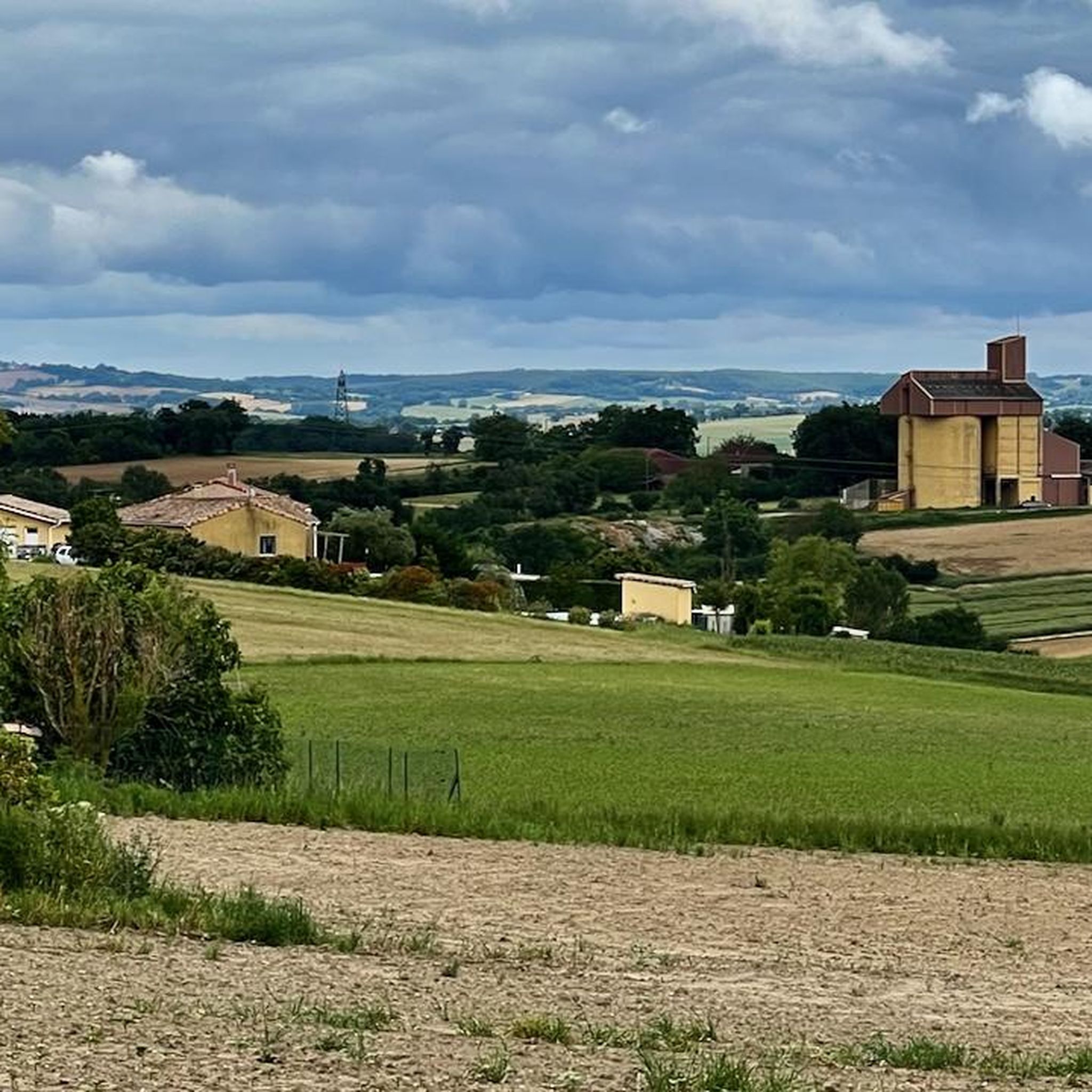
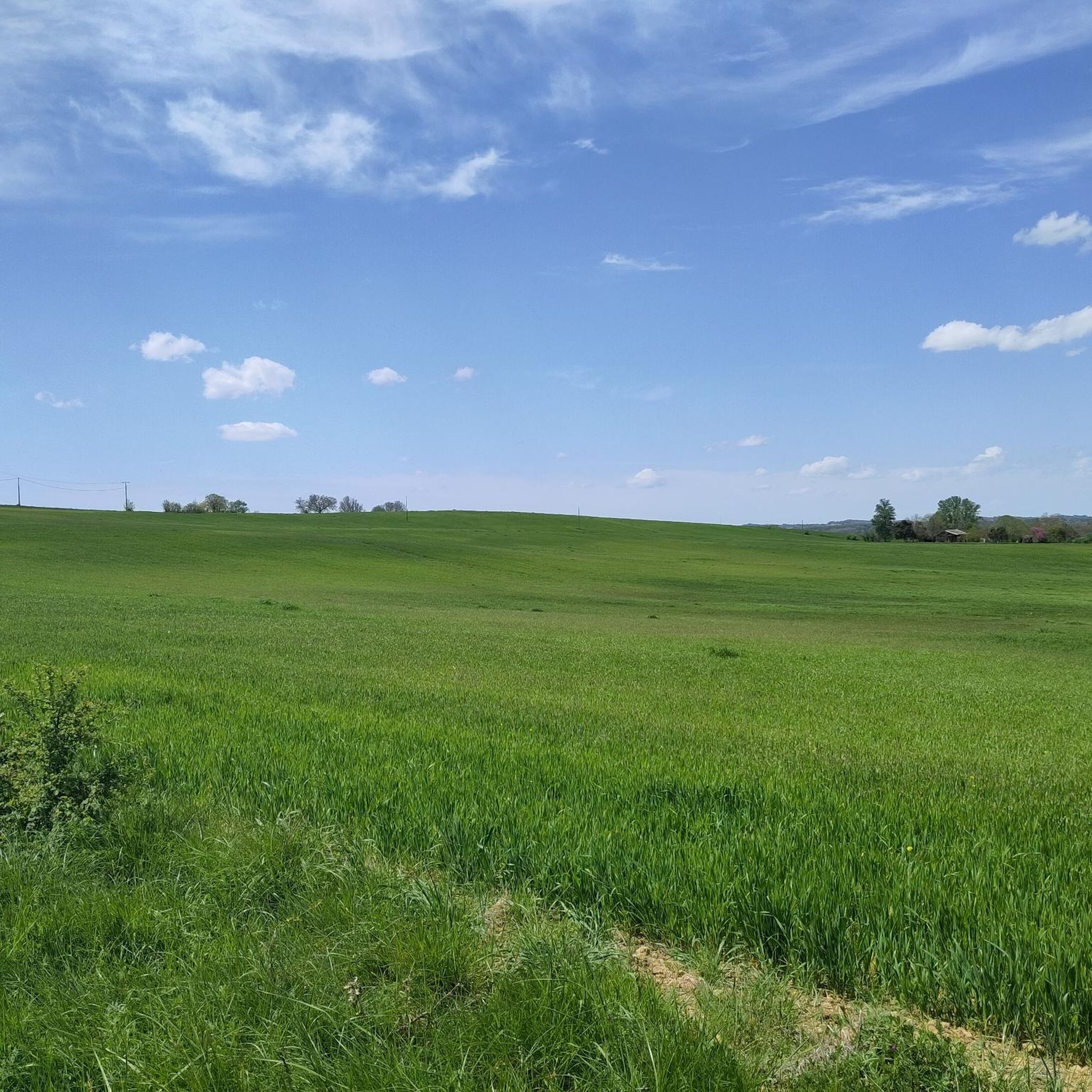
Hiking around Maurens offers diverse landscapes, characterized by sandy-soiled forests to the north and undulating, calcareous (limestone) terrain to the south. The region features a network of hiking trails, including a section of the historic Camino de Santiago. Natural landmarks like the Menhir de Lacoste are also present along some routes. This geological variety provides varied experiences for hikers.
Best hiking trails around Maurens
- The most popular hiking route is Church of Saint-André loop from Saint-André, a 5.8 miles…
Last updated: July 4, 2026
5.0
(3)
14
hikers
9.34km
02:31
120m
120m
Moderate hike. Good fitness required. Easily-accessible paths. Suitable for all skill levels.
4.7
(23)
7
hikers
10.2km
02:45
130m
130m
Moderate hike. Good fitness required. Easily-accessible paths. Suitable for all skill levels.

Sign up for free
4.6
(25)
7
hikers
10.4km
02:49
150m
150m
Moderate hike. Good fitness required. Easily-accessible paths. Suitable for all skill levels.
8
hikers
19.4km
05:15
250m
250m
Hard hike. Very good fitness required. Easily-accessible paths. Suitable for all skill levels.
5
hikers
4.35km
01:09
40m
40m
Easy hike. Great for any fitness level. Easily-accessible paths. Suitable for all skill levels.
Get access to more routes and recommendations from other explorers.
Sign up for free
Already have an account?
Our route recommendations are based on thousands of hikes, rides, and runs completed by other people on komoot.
Start today with a free account
Your next adventure awaits.
Login or Signup


Tips from the Community

Regular food and flea markets take place in the main town center where there is also a beautiful old church and some cafes.
0
0

Beautiful halls crossed by the street
0
0

Frequently Asked Questions
How many hiking trails are available around Maurens?
There are over 40 hiking trails around Maurens, offering a wide range of options for different skill levels and preferences. You'll find everything from easy strolls to more challenging treks.
What kind of landscapes can I expect to see while hiking in Maurens?
Hiking in Maurens offers diverse landscapes. To the north, you'll encounter sandy-soiled forests, while the southern part of the commune features undulating, calcareous (limestone) terrain. This geological variety provides a rich and engaging hiking experience.
Are there any easy hiking routes suitable for beginners or families in Maurens?
Yes, Maurens offers 11 easy hiking routes perfect for beginners or families. One accessible option is the Gimont town center loop from Gimont, which is 4.3 km long and takes about 1 hour 10 minutes to complete.
Are there any challenging treks for experienced hikers in the Maurens area?
For experienced hikers seeking a challenge, there are 4 difficult routes around Maurens. A notable option is the Gimont town center – Étang de la Gimone loop from Giscaro, a 19.4 km trail that typically takes over 5 hours to complete.
What do other hikers enjoy most about the trails in Maurens?
The trails around Maurens are highly rated by the komoot community, with an average score of 4.4 stars from over 60 reviews. Hikers often praise the varied terrain, from forests to limestone hills, and the opportunity to explore a section of the historic Camino de Santiago.
Are there any circular walks available in Maurens?
Many of the trails in Maurens are circular, allowing you to start and end at the same point. For example, the Church of Saint-André loop from Saint-André is a moderate 9.3 km route that offers varied landscapes.
What natural landmarks or attractions can I see near the hiking trails?
Near the hiking trails, you can discover unique natural landmarks. The "Menhir de Lacoste," a distinctive triangular rock of unknown origin, adds a touch of mystery to the natural surroundings. For more points of interest, you can explore Attractions around Maurens.
Are there any historical or cultural points of interest along the routes?
Yes, the region is rich in history. Some trails incorporate sections of the famous Camino de Santiago (Chemin de Saint Jacques de Compostelle), offering a glimpse into a historic pilgrimage route. You can also find highlights like the Caumont Castle and the Gimont Town Center nearby.
What is the best season for hiking in Maurens?
The diverse landscapes of Maurens, with its forests and limestone hills, make it enjoyable for hiking across multiple seasons. Spring and autumn generally offer pleasant temperatures and vibrant scenery, while summer can be ideal for early morning or late afternoon walks to avoid the midday heat.
Are there any places to explore or visit in the broader region near Maurens?
Beyond Maurens itself, the broader region offers additional natural sites. The Forêt de Bouconne is approximately 25 km away, and the Gorges de la Save is about 45 km distant, providing further opportunities for exploration.
Where can I find more information about the Maurens area?
For additional local information about Maurens and its surroundings, you can visit the official tourism website for the Isle-Périgord region: tourisme-isleperigord.com.
Most popular attractions around Maurens

Get inspired with the komoot mobile app


Explore more
Browse the best Hikes in other regions.
