The best walks and hikes around Bettwiesen
4.5
(1742)
8,110
hikers
729
hikes
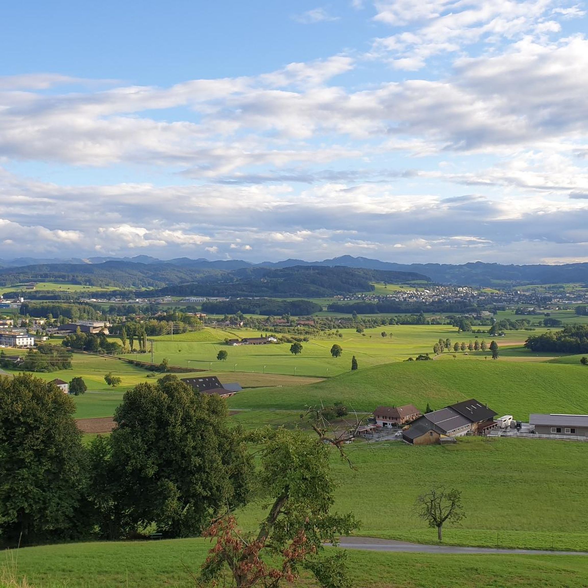
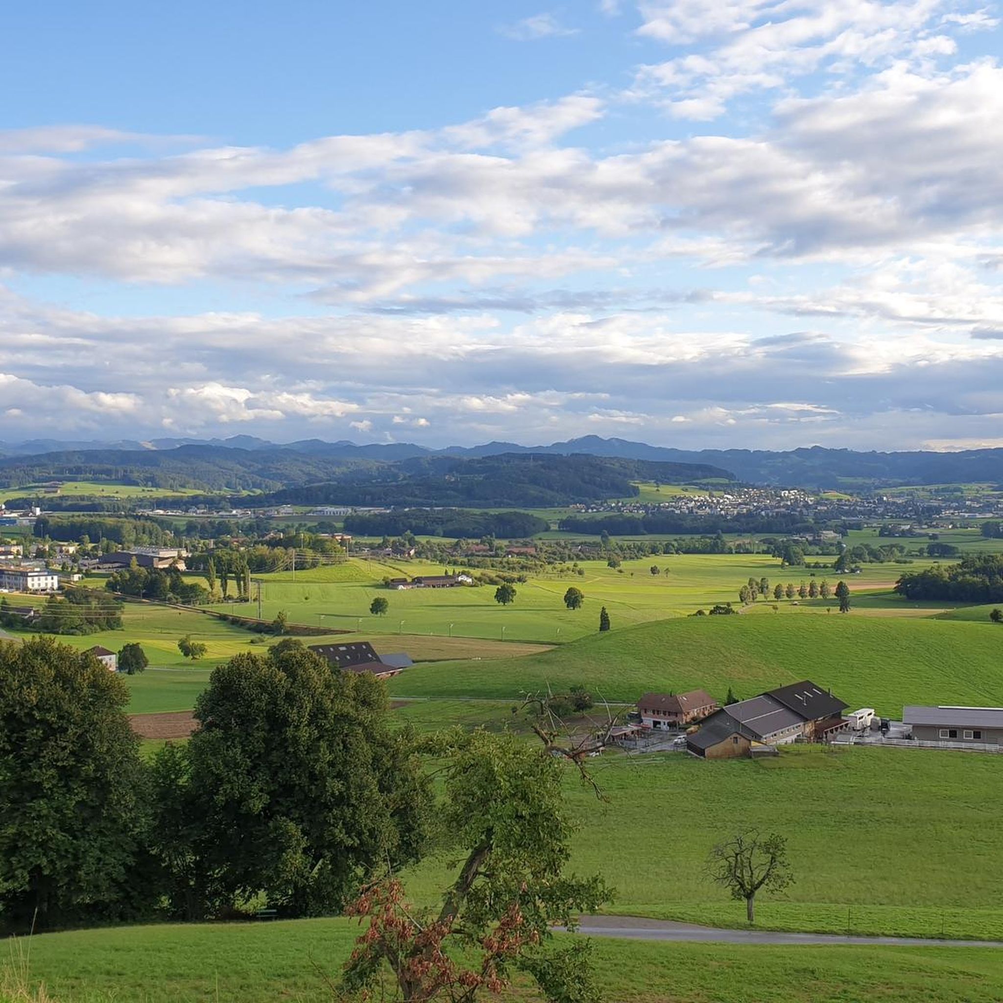
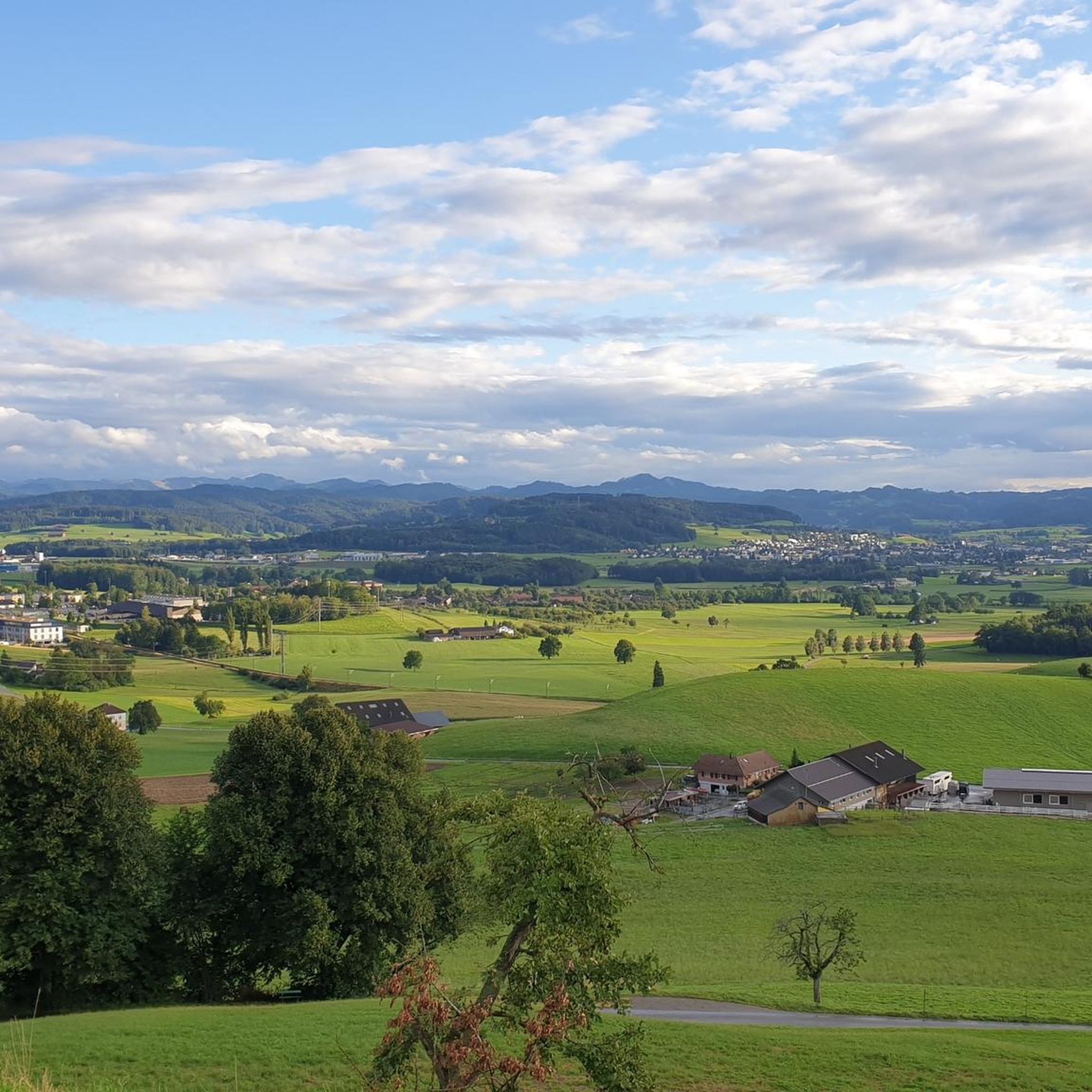
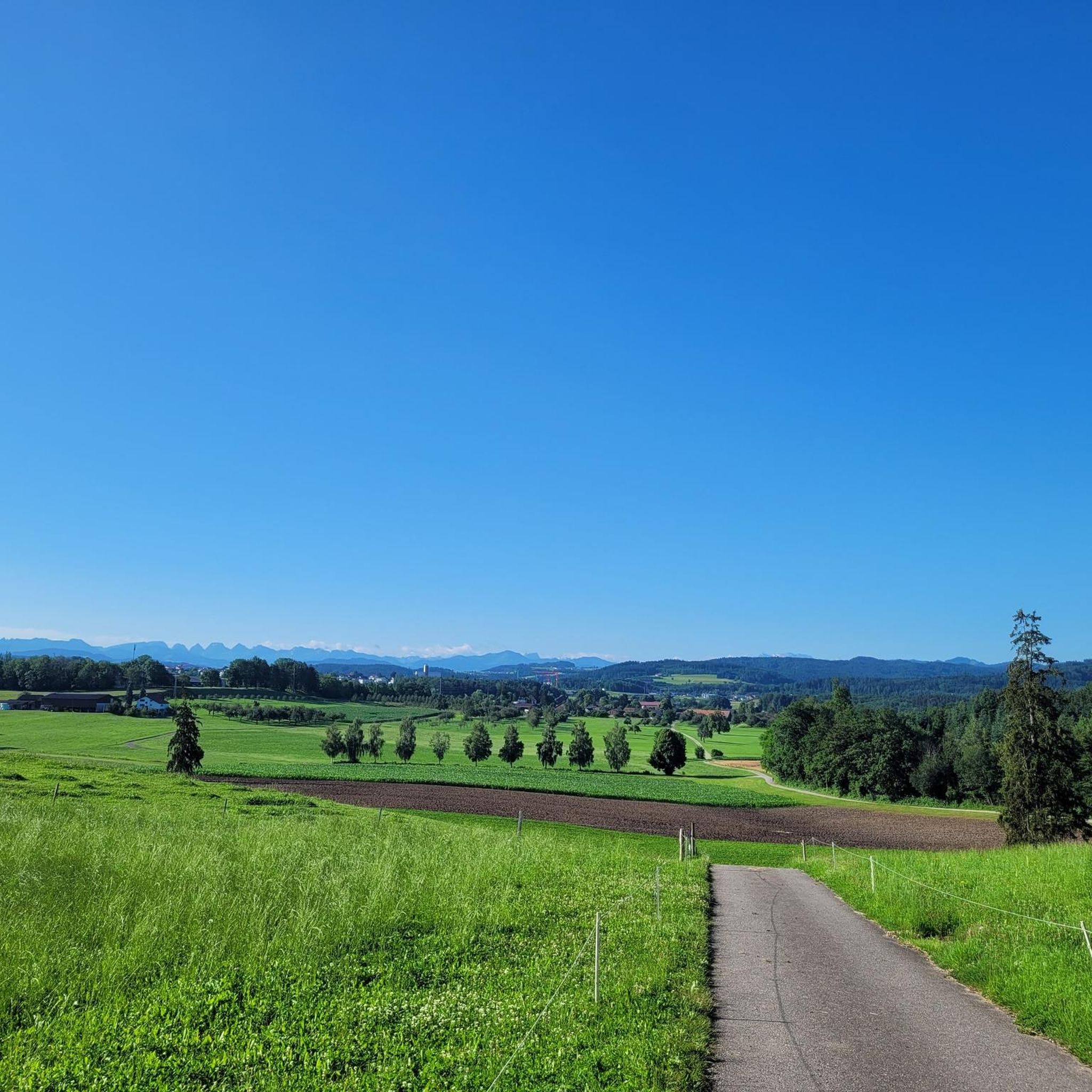
Hiking around Bettwiesen offers diverse landscapes, including forests and open meadow slopes. The region features varied terrain with accessible paths suitable for different fitness levels. Hikers can experience local waterways like the Murg river and Roosetaaler Pond, and enjoy panoramic views, notably of Säntis.
Best hiking trails around Bettwiesen
- The most popular hiking route is Barbecue area by the stream – Lommiswald barbecue hut loop from Lommis, an easy 2.6 miles (4.3 km) trail that takes 1 hour 9…
Last updated: June 27, 2026
4.8
(9)
21
hikers
Easy hike. Great for any fitness level. Easily-accessible paths. Suitable for all skill levels.
5.0
(3)
10
hikers
5.48km
01:26
40m
40m
Easy hike. Great for any fitness level. Easily-accessible paths. Suitable for all skill levels.

Sign up for free
4.0
(2)
10
hikers
6.19km
01:48
170m
170m
Easy hike. Great for any fitness level. Easily-accessible paths. Suitable for all skill levels.
4.0
(2)
6
hikers
Moderate hike. Good fitness required. Easily-accessible paths. Suitable for all skill levels.
4.5
(2)
7
hikers
4.98km
01:19
50m
50m
Easy hike. Great for any fitness level. Easily-accessible paths. Suitable for all skill levels.
Get access to more routes and recommendations from other explorers.
Sign up for free
Already have an account?
Our route recommendations are based on thousands of hikes, rides, and runs completed by other people on komoot.
Start today with a free account
Your next adventure awaits.
Login or Signup

Other adventures around Bettwiesen

Tips from the Community

It says on the bench "Take a little time," which should definitely be taken literally.
0
0

The hamlet of Sedel has been part of St. Margarethen since ancient times. The name "Sedel" comes from Old German and means "seat, throne, armchair"; in Swiss German, it also means "chicken perch." The hamlet is surrounded by agricultural land and consists of traditional residential and farmhouses.
0
0
The Frauenwissteg was rebuilt in 2025 and is a popular crossing over the Murg River. It connects hiking and cycling trails and offers a safe and comfortable crossing. A special feature: Under the bridge is a specially installed birdhouse for the dipper.
2
0
Rosetaler Weiher (Barbecue Area) The Rosentaler Weiher is an idyllic pond surrounded by nature, making it a lovely spot to relax. A barbecue area is located by the pond, offering a cozy place to linger and take a break in nature. It's a perfect spot for a picnic or a short break.
0
0

Easy and straight trail. You can ride at higher speeds.
1
0
At medium speed and in medium to low gear, there's a small step at the beginning and a muddy section at the end that you climb.
2
0


Beautifully located barbecue area right on the Murg, children can play in the shallow water quite safely. There is usually wood for fires.
0
0
Frequently Asked Questions
How many hiking trails are available around Bettwiesen?
Bettwiesen offers a wide selection of hiking opportunities, with over 740 routes available. These range from easy strolls to more challenging excursions, ensuring there's something for every fitness level.
What kind of terrain can I expect on hikes near Bettwiesen?
The hiking trails around Bettwiesen feature diverse terrain, including peaceful forests and open meadow slopes. You'll encounter varied landscapes, local waterways like the Murg river and Roosetaaler Pond, and often enjoy scenic views, notably of Säntis.
Are there easy hiking options suitable for beginners or casual walkers?
Yes, Bettwiesen is very accessible for all skill levels. Over 420 of the available routes are rated as easy. For example, the Lommiswald barbecue hut – Buech Bench loop from Lommis is an easy 5.5 km path that takes you through meadows and forests.
Can I find circular hiking routes in Bettwiesen?
Many of the trails around Bettwiesen are circular, offering convenient starting and ending points. For instance, the Buech Bench – Schwabenweg Trail loop from Tobel-Tägerschen is an easy 5 km loop that takes you through varied scenery.
Are there any trails that feature waterfalls or other natural water features?
Yes, the region around Bettwiesen boasts several beautiful water features. You can explore highlights like the Giessenfall Waterfall or the Waterfalls on the Littenheid Forest Trail. Additionally, the Bridge over the Murg – Roosetaaler Pond loop from Bettwiesen specifically highlights local waterways.
What are some notable viewpoints or landmarks I can see while hiking?
Hikers can enjoy panoramic views, particularly of Säntis, a prominent peak in the Alpstein massif. You might also encounter historical markers like the Boundary stone from 1647 on a loop from Bronschhofen AMP, or natural formations such as the Hohlen Stein Gorge.
Are there places to stop for a break or a picnic along the trails?
Absolutely. Many trails in Bettwiesen feature amenities for breaks. You'll find pleasant barbecue areas, such as the one on the Barbecue area by the stream – Lommiswald barbecue hut loop from Lommis. There are also designated spots like the Lommiswald barbecue hut and the Forest shelter with grill, fountain, and toilet.
What do other hikers say about the trails in Bettwiesen?
The hiking routes in Bettwiesen are highly regarded by the komoot community, with an impressive average rating of 4.5 stars from over 1600 reviews. Hikers often praise the varied terrain, accessible paths, and the beautiful natural scenery.
Are there any moderate hikes for those looking for a bit more challenge?
Yes, for those seeking a moderate challenge, there are over 300 routes available. The Bridge over the Murg – Roosetaaler Pond loop from Bettwiesen is a moderate 8.9 km trail that takes about 2 hours 20 minutes to complete, offering varied terrain and local waterways.
What is the best time of year to go hiking in Bettwiesen?
Bettwiesen offers enjoyable hiking experiences throughout much of the year. Spring and autumn provide pleasant temperatures and beautiful scenery with changing foliage. Summer is ideal for longer days, while some trails may also be suitable for winter walks, depending on conditions.
Are there any specific points of interest or facilities for families with children?
Families will find several spots suitable for children. The Weierholz Picnic and Playground Area is a great option for a stop, offering both picnic facilities and a playground. Many of the easy, accessible paths are also well-suited for family outings.
Most popular routes around Bettwiesen
Most popular attractions around Bettwiesen

Get inspired with the komoot mobile app


Explore more
Browse the best Hikes in other regions.
