The best walks and hikes around L'Isle-Arné
4.8
(26)
146
hikers
24
hikes
Hiking around L'Isle-Arné offers exploration through the picturesque landscapes of the Gers department in southwestern France. The region is characterized by the valleys of the Gimone and Arrats rivers, which are flanked by rolling hills providing viewpoints over the Gascon countryside. These natural features contribute to a scenic hiking experience, immersing visitors in the rural French atmosphere.
Best hiking trails around L'Isle-Arné
- The most popular hiking route is The path of Hourontan — loop from Castelnau-Barbarens, a 6.4 miles…
Last updated: August 22, 2026
4.5
(2)
13
hikers
10.3km
02:50
170m
160m
Moderate hike. Good fitness required. Easily-accessible paths. Suitable for all skill levels.
4.8
(4)
13
hikers
14.2km
03:50
190m
190m
Moderate hike. Good fitness required. Easily-accessible paths. Suitable for all skill levels.

Sign up for free
4.7
(3)
11
hikers
11.6km
03:06
130m
130m
Moderate hike. Good fitness required. Easily-accessible paths. Suitable for all skill levels.
5.0
(3)
14
hikers
9.44km
02:32
120m
120m
Moderate hike. Good fitness required. Easily-accessible paths. Suitable for all skill levels.
5.0
(1)
2
hikers
8.19km
02:14
120m
130m
Moderate hike. Good fitness required. Easily-accessible paths. Suitable for all skill levels.
Get access to more routes and recommendations from other explorers.
Sign up for free
Already have an account?
Our route recommendations are based on thousands of hikes, rides, and runs completed by other people on komoot.
Start today with a free account
Your next adventure awaits.
Login or Signup
Tips from the Community

Saint Nicholas (Saint NICOLAS), bishop of Myra, to whom the church in Castelnau-Barbarens is dedicated, is – along with Saint Martin – one of the most popular saints of all. Almost every child in Germany - and far beyond - should know his commemoration day, December 6th. On the eve of this day, the children used to put their shoes or boots in front of the door – which of course had to be cleaned with great care – so that they could be filled with gifts by St. Nicholas during the night. In more agricultural areas, it was also customary for the children to provide a small amount of food for the donkey, St Nicholas' riding animal (according to another tradition, it was a white horse).
1
0

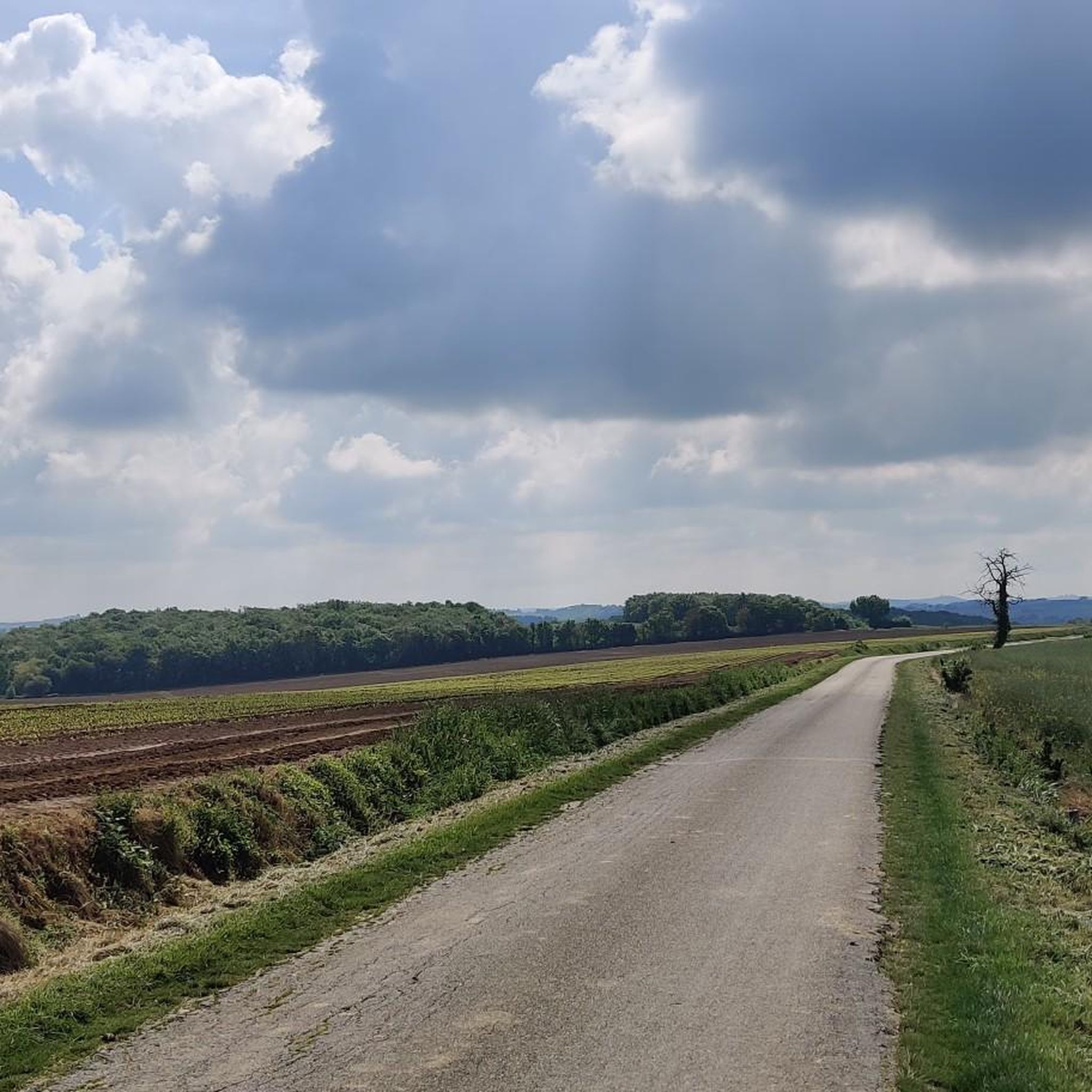
At this point in the road, the view opens up and you can see very far. A real treat.
2
1

Monument in memory of the fighters of the First World War (1914-1918).
2
0
Monument of the village of Castelnau-Barbarens
2
1
Saint-Nicolas Church, open Monday-Sunday: 9:00 a.m. - 6:00 p.m.
1
0
Frequently Asked Questions
How many hiking trails are available around L'Isle-Arné?
There are over 25 hiking routes in L'Isle-Arné and its immediate surroundings. These trails cater to various fitness levels, from easy walks to more challenging excursions.
What kind of terrain can I expect on hikes in L'Isle-Arné?
The region around L'Isle-Arné is characterized by picturesque landscapes, including the gentle valleys of the Gimone and Arrats rivers, flanked by rolling hills. You'll find yourself immersed in the serene, rural beauty of the Gascon countryside, often with exceptional viewpoints.
Are there easy hiking options suitable for beginners in L'Isle-Arné?
Yes, L'Isle-Arné offers several easy hiking routes perfect for beginners or those seeking a relaxed stroll. There are 8 easy trails available, allowing you to enjoy the scenery without significant elevation changes.
Can I find family-friendly hikes in L'Isle-Arné?
Many of the trails in L'Isle-Arné are suitable for families, especially the easier routes. They offer a chance to explore the gentle countryside and charming villages at a comfortable pace. Consider routes with shorter distances and minimal elevation gain for younger children.
Are there any dog-friendly trails in L'Isle-Arné?
While specific dog rules can vary, the rural nature of L'Isle-Arné generally makes it welcoming for hikers with dogs. It's always recommended to keep your dog on a leash, especially near livestock, and to carry waste bags to maintain the pristine environment.
Are there circular hiking routes available in L'Isle-Arné?
Yes, many of the hiking routes around L'Isle-Arné are circular, allowing you to start and end at the same point. For example, the The path of Hourontan — loop from Castelnau-Barbarens is a popular moderate circular trail covering 6.4 miles (10.3 km).
What are some notable natural features or landmarks I might see while hiking?
Hiking in L'Isle-Arné allows you to discover the authentic rural landscapes of Gascony. You'll encounter picturesque river valleys, rolling hills offering expansive viewpoints, and charming villages. Some routes, like the Church of Saint-André loop from Aurimont, pass by historic local churches and through tranquil countryside.
Is it possible to hike sections of the Via Tolosana (GR653) near L'Isle-Arné?
Yes, L'Isle-Arné is connected to the historic Via Tolosana (GR653), one of the major French pilgrimage routes to Santiago de Compostela. You can experience a section of this significant path on the L'Isle-Arné – Via Tolosana loop from Aubiet, a moderate 8.7-mile (13.9 km) route.
What do other hikers say about the trails in L'Isle-Arné?
The hiking trails in L'Isle-Arné are highly regarded by the komoot community, with an average score of 4.9 stars from over 20 reviews. Hikers often praise the serene atmosphere, the well-maintained paths, and the beautiful, unspoiled nature of the Gascon countryside.
What is the best time of year to go hiking in L'Isle-Arné?
The region's 'gentle way of life' and pleasant climate make it suitable for hiking through much of the year. Spring and autumn offer mild temperatures and beautiful scenery, with blooming wildflowers or vibrant fall foliage. Summer can be warm, so early morning or late afternoon hikes are often preferred.
Are there any longer, more challenging hikes in the area?
While many routes are moderate, there are a few more challenging options for experienced hikers. The region offers 3 difficult trails that provide greater distances and elevation changes, allowing for a more strenuous exploration of the Gascon hills.
Are there any routes that specifically start from L'Isle-Arné itself?
Yes, you can start your hike directly from the commune. For instance, the Via Tolosana – L'Isle-Arné loop from L'Isle-Arné is a moderate 7.2-mile (11.6 km) route that begins and ends in L'Isle-Arné, incorporating a section of the historic pilgrimage trail.
Most popular attractions around L'Isle-Arné

Get inspired with the komoot mobile app


Explore more
Browse the best Hikes in other regions.
