The best road cycling routes around Betzigau
4.5
(1125)
18,813
riders
15
rides
Road cycling around Betzigau offers routes through the scenic Allgäu region, characterized by rolling hills and expansive views of the distant Allgäu and Tyrolean Alps. The terrain includes varied landscapes with moderate elevation gains, providing a mix of challenging climbs and enjoyable descents. Cyclists can expect to navigate through rural areas, passing by small villages and open countryside. The region's topography makes it suitable for road cyclists seeking routes with significant elevation gain.
Best road cycling routes around Betzigau
- The…
Last updated: July 21, 2026
5.0
(1)
59
riders
54.0km
02:31
520m
520m
Moderate road ride. Good fitness required. Mostly well-paved surfaces and easy to ride.
2.0
(2)
46
riders
30.0km
01:15
230m
230m
Easy road ride. Great for any fitness level. Mostly well-paved surfaces and easy to ride.

Sign up for free
3.0
(1)
31
riders
55.6km
02:36
650m
650m
Moderate road ride. Good fitness required. Mostly well-paved surfaces and easy to ride.
3.0
(1)
33
riders
45.0km
02:16
520m
520m
Moderate road ride. Good fitness required. Mostly well-paved surfaces and easy to ride.
5.0
(1)
27
riders
Moderate road ride. Good fitness required. Some segments of this route may be unpaved and difficult to ride.
Get access to more routes and recommendations from other explorers.
Sign up for free
Already have an account?
Our route recommendations are based on thousands of hikes, rides, and runs completed by other people on komoot.
Start today with a free account
Your next adventure awaits.
Login or Signup
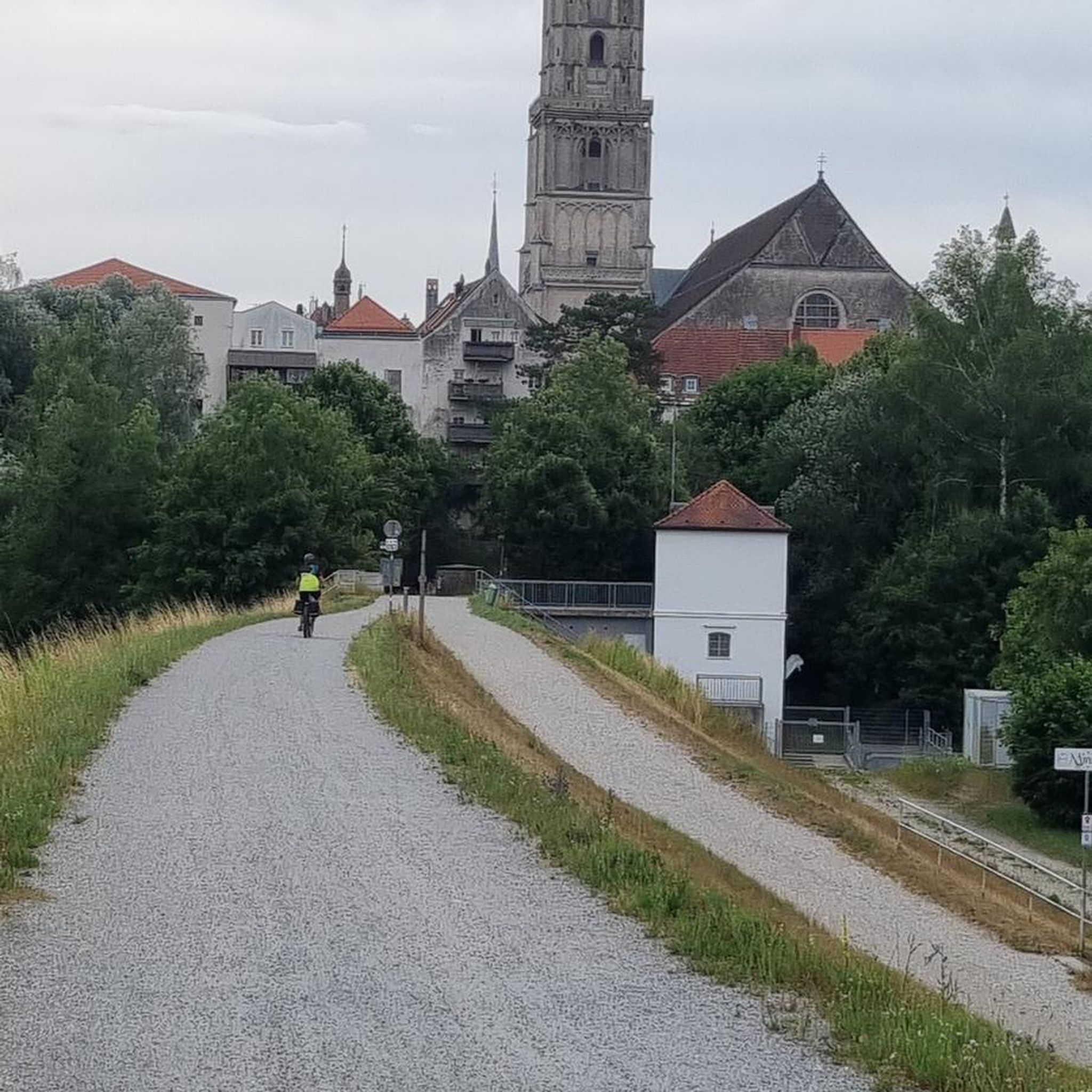
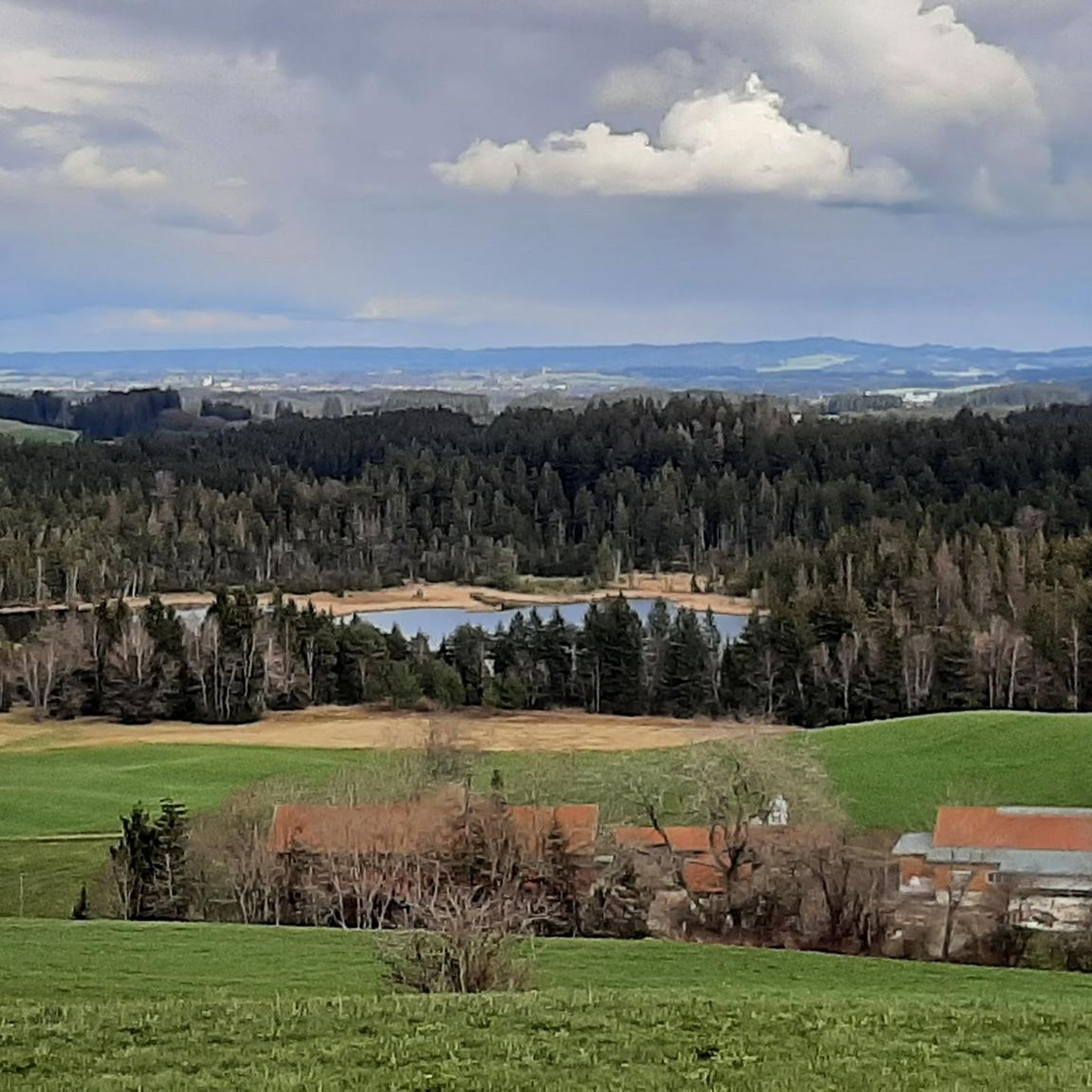
Other adventures around Betzigau

Tips from the Community

Popular bike route. Quite little traffic. Beautiful landscape.
1
0

Really great views of the landscape! Especially nice if the weather is clear and you can see far into the distance.
0
0


A quiet, undulating county road between Binnings and Günzach. Good asphalt. The source of the eastern Günz River is well signposted along the roadside.
1
0
Hall church with recessed choir, core from the 15th century with alterations in 1733 and 1869/1871. Square tower with pointed roof
0
0
A well-paved cycle path runs alongside the road between Wald and Ronried. The county road is also easily accessible when traffic is light.
0
1

A nice, almost unused ramp to bypass the main road.
0
0

Very good cappuccino, delicious cakes and cozy atmosphere
0
0
Frequently Asked Questions
How many road cycling routes are available around Betzigau?
Betzigau offers a diverse network of over 15 road cycling routes. These routes cater to various skill levels, from easy rides to more challenging tours with significant elevation gain.
Are there easy road cycling routes suitable for beginners in Betzigau?
Yes, Betzigau has several easy road cycling routes. For a less strenuous ride, consider the View of the Allgäu Alps – Great view near Leupolz loop from Betzigau, which is 30.1 miles (48.5 km) long with moderate elevation, offering beautiful views without being overly demanding.
Where can I find road cycling routes with significant elevation gain around Betzigau?
The region around Betzigau is known for its rolling hills and offers routes with notable elevation. A good option for a challenging ride is the Leuterschach Train Station – View of the Tyrolean Mountains loop from Betzigau, which covers 34.5 miles (55.5 km) and features over 600 meters of ascent, providing views of the Tyrolean Mountains.
What are some highly-rated scenic road cycling loops in Betzigau?
Road cyclists frequently praise the scenic loops around Betzigau. The View of the Allgäu Alps – Great view near Leupolz loop from Hauptmannsgreut is a popular choice, offering panoramic views of the Allgäu Alps over its 33.4 miles (53.8 km) course. Another favorite is the View of the Alps from Allgäu – Leuterschach Train Station loop from Möstenberg, a longer 46.7 miles (75.2 km) route with expansive alpine vistas.
What kind of views can I expect on road cycling routes around Betzigau?
The road cycling routes around Betzigau are characterized by stunning distant views of both the Allgäu and Tyrolean Alps. You'll also pass through picturesque rural landscapes, charming small villages, and open countryside, providing a varied and beautiful backdrop for your ride.
Are there any interesting landmarks or attractions along the road cycling routes in Betzigau?
Yes, the region boasts several historical and natural attractions. You might encounter historical sites like the Sulzberg Castle Ruins or the Wagegg Castle Ruins. For natural beauty, there are several waterfalls nearby, such as the Geratser Waterfall, which can be explored as detours from your cycling route.
What is the best season for road cycling in Betzigau?
The best season for road cycling in Betzigau is typically from spring through autumn. During these months, the weather is generally mild, and the landscapes are vibrant. Spring offers fresh greenery, while autumn provides beautiful foliage. Always check local weather forecasts before heading out, especially for mountain passes.
Are there good starting points for road cycling routes in Betzigau with parking options?
Many routes around Betzigau offer convenient starting points, often in or near the main town and surrounding villages. Parking is generally available in these areas, though it's always advisable to check specific starting locations for designated parking facilities. Routes often begin from accessible points like Hauptmannsgreut or Betzigau itself.
Can I access road cycling routes in Betzigau using public transport?
Some routes in the Betzigau area are accessible via public transport, particularly those that pass through or near train stations. For example, the Leuterschach Train Station – Unterthingau Castle loop from Hochgreut indicates proximity to a train station, which can serve as a convenient access point. It's recommended to check local bus and train schedules for specific route connections.
What do other road cyclists enjoy most about road cycling in Betzigau?
The road cycling experience in Betzigau is highly rated by the komoot community, with an average score of 4.6 stars. Reviewers often praise the diverse terrain, the stunning distant views of the Allgäu and Tyrolean Alps, and the well-maintained rural roads that make for an enjoyable ride. The mix of challenging climbs and pleasant descents is also frequently highlighted.
Are there any routes that pass by castles or historical sites?
Yes, some routes offer glimpses of historical landmarks. For instance, the Leuterschach Train Station – Unterthingau Castle loop from Hochgreut leads towards Unterthingau Castle, providing a cultural element to your ride. The region also features other castle ruins like Wolkenberg Castle Ruins, which can be explored as side trips.
Most popular routes around Betzigau
Most popular attractions around Betzigau

Get inspired with the komoot mobile app


Explore more
Browse the best Road cycling routes in other regions.
